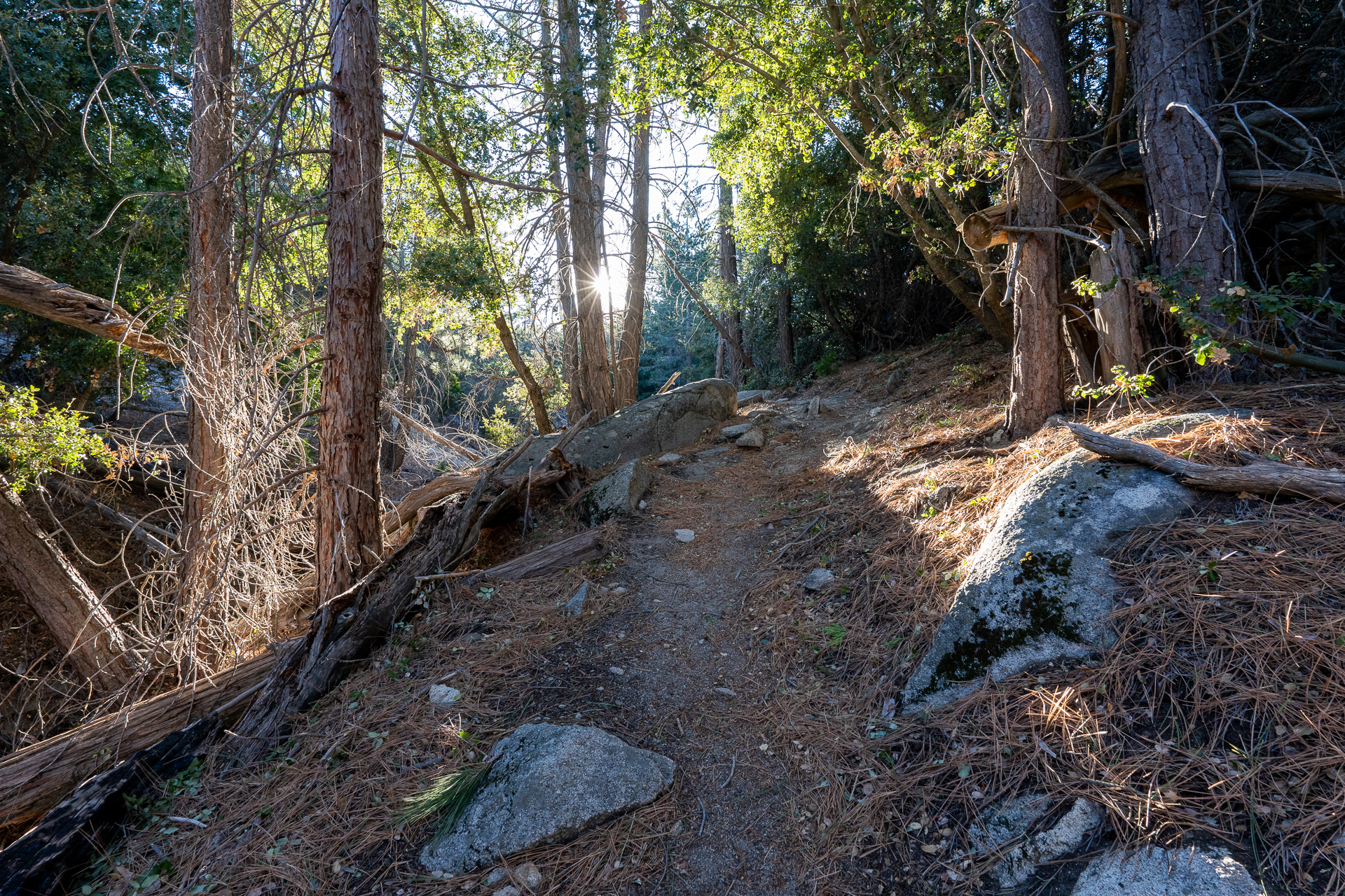
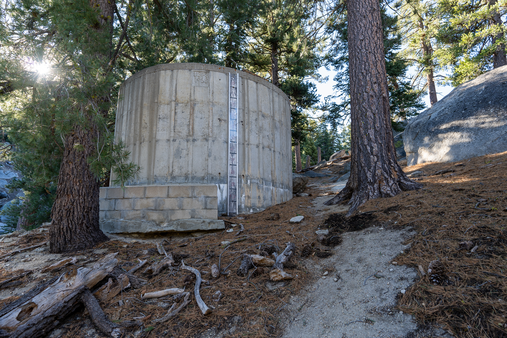
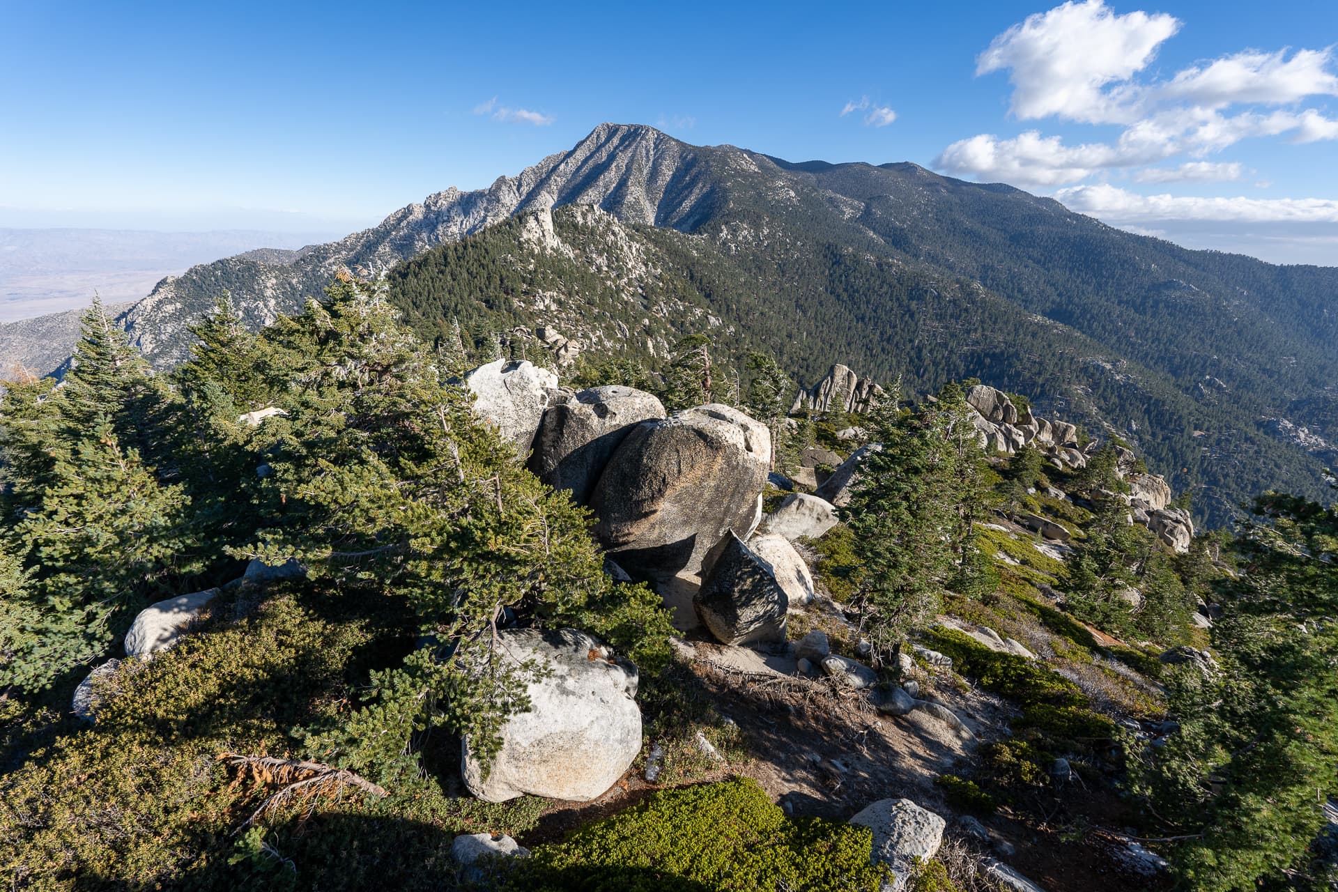
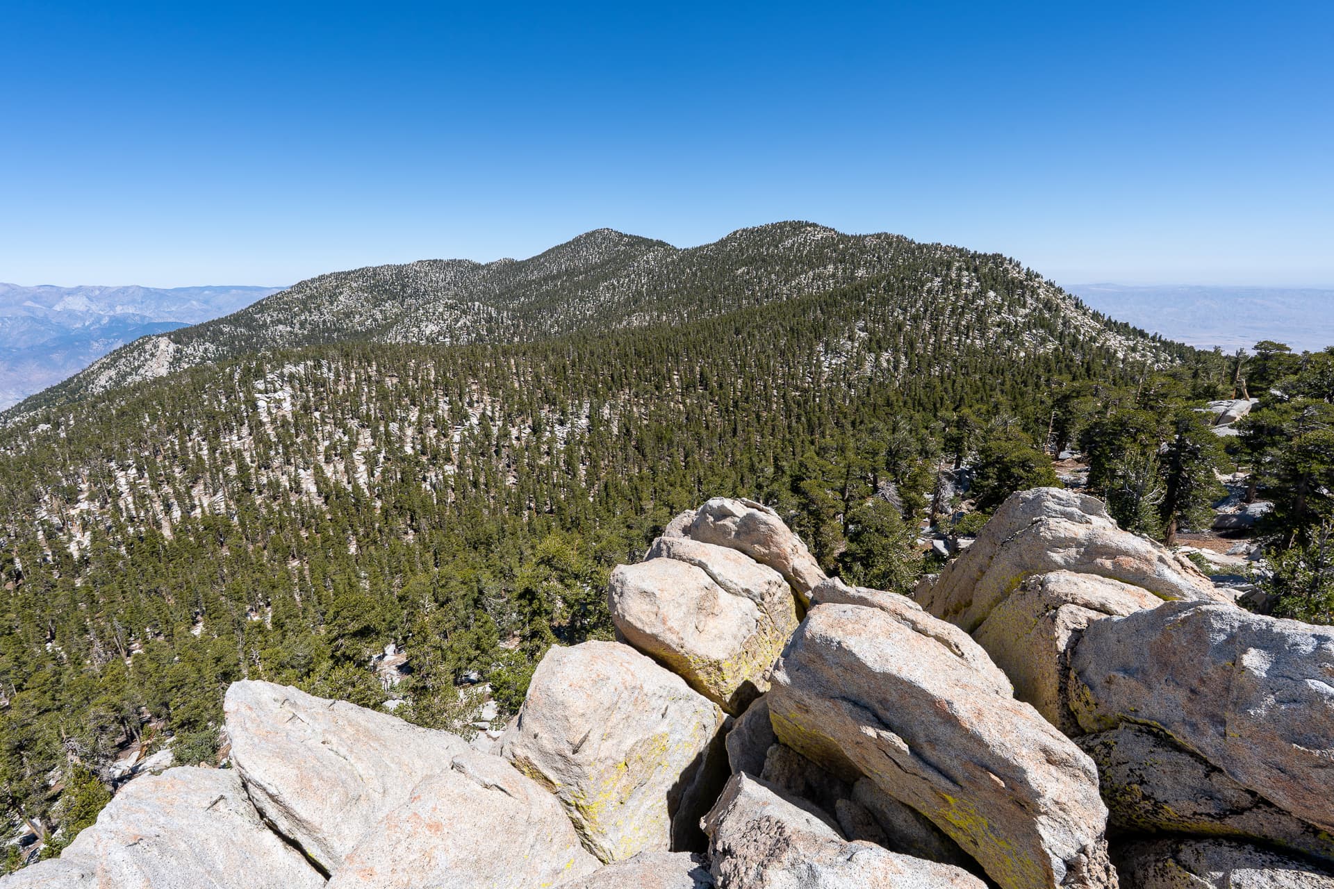
Starting along the Black Mountain Trail from the end of a short spur of Highway 243.The first mile gains elevation quickly.Crossing a sandy plateau.Many granite boulders in the area. Some were chalked, a sign of recent climbing activity.The trail veers south around an intervening ridge, seen ahead.Around the ridge, Black Mountain comes into view.View back.Flat section as the trail follows a dry creek.The trail makes a few switchbacks up Black Mountain's northwest slope.Approaching a trail junction at a minor saddle (left). Stay right at the junction for Black Mountain's summit.Passing a Forest Service water tank.Several fallen trees blocking the final section of trail.Joining a dirt road at the base of Black Mountain.Starting up a paved path that wraps around the south side of the summit.Approaching the Black Mountain Lookout Tower.Black Mountain summit. View west.View southeast toward San Jacinto Peak.View east toward Fuller Ridge.