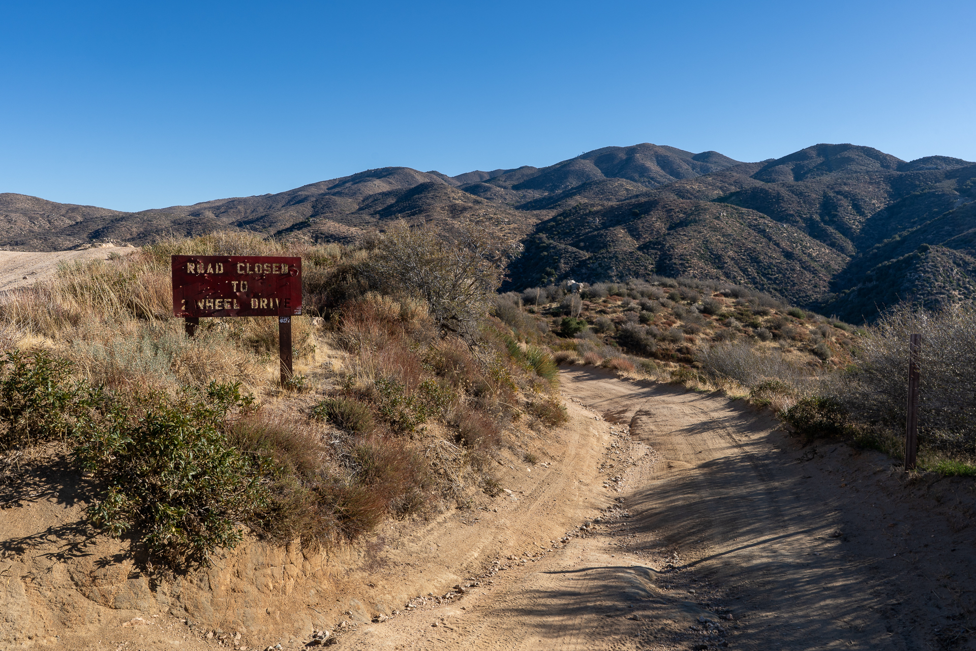
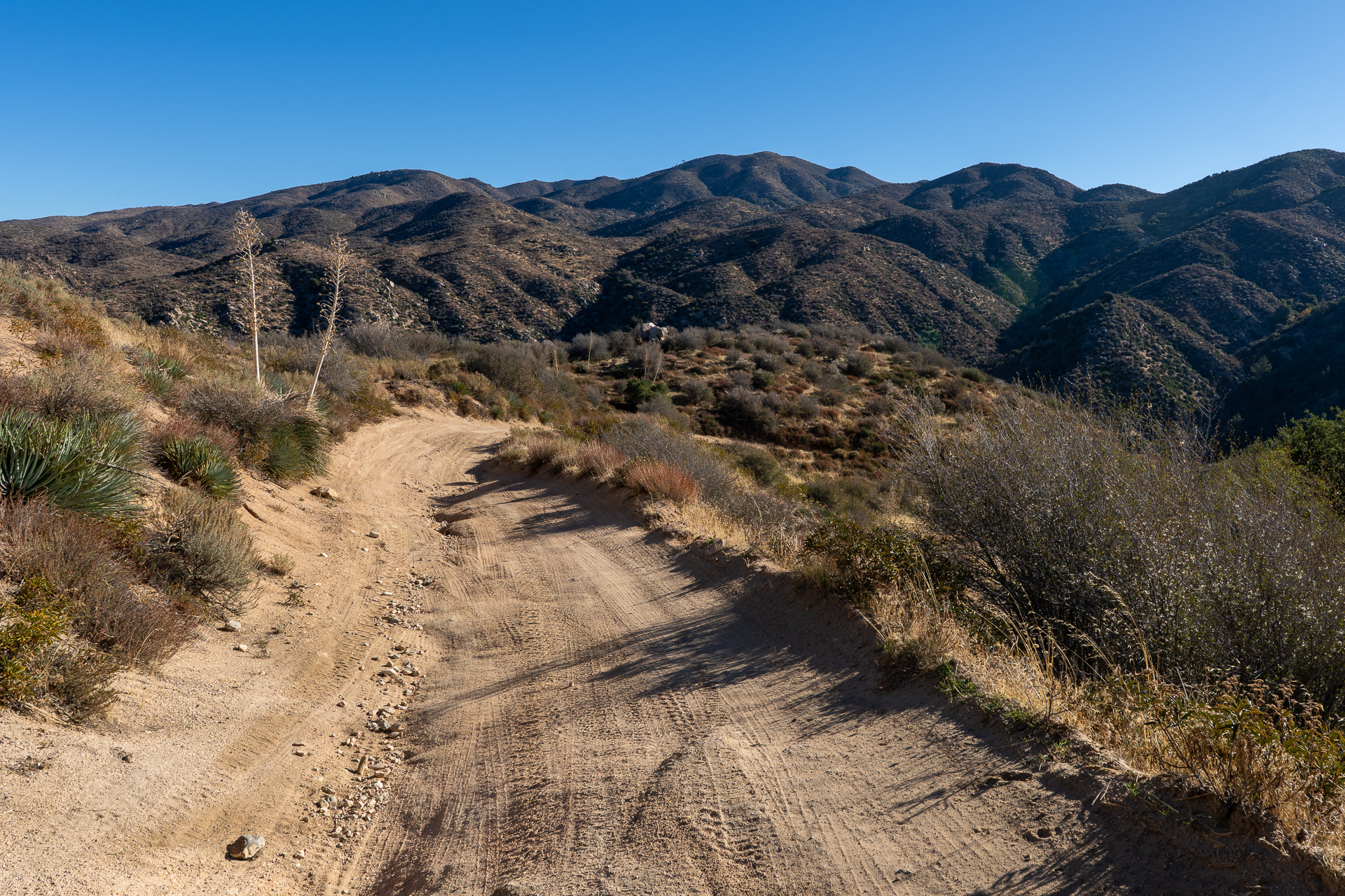
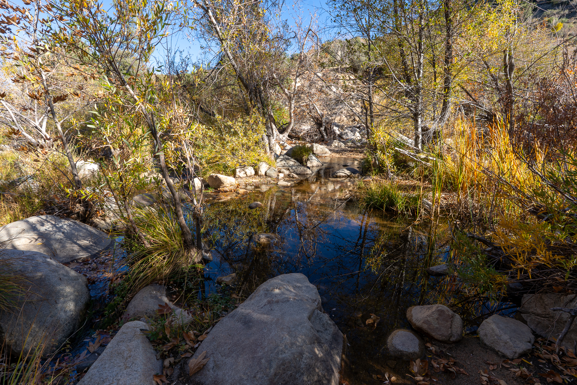
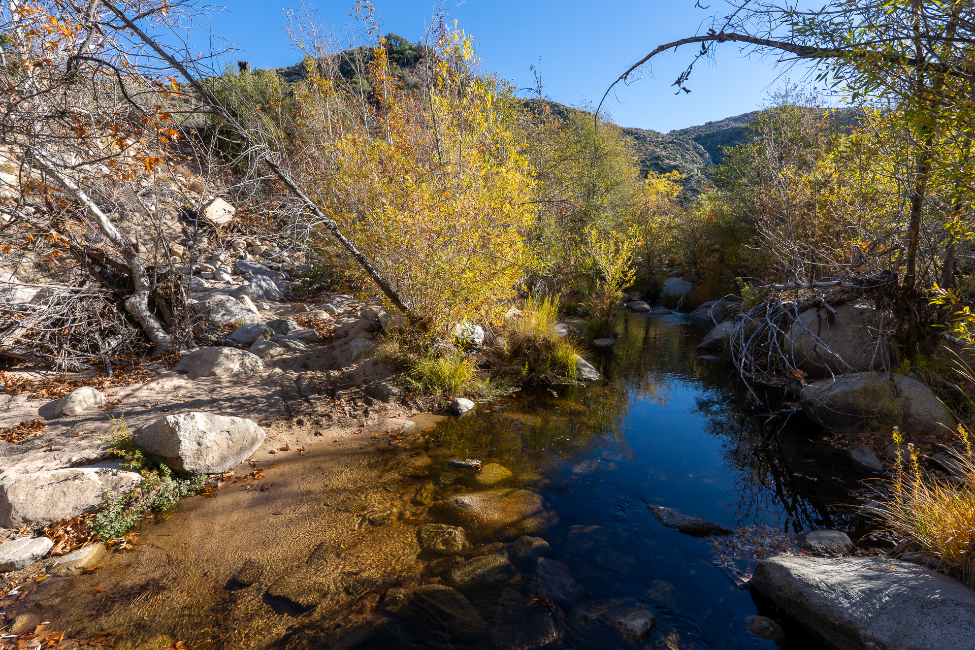
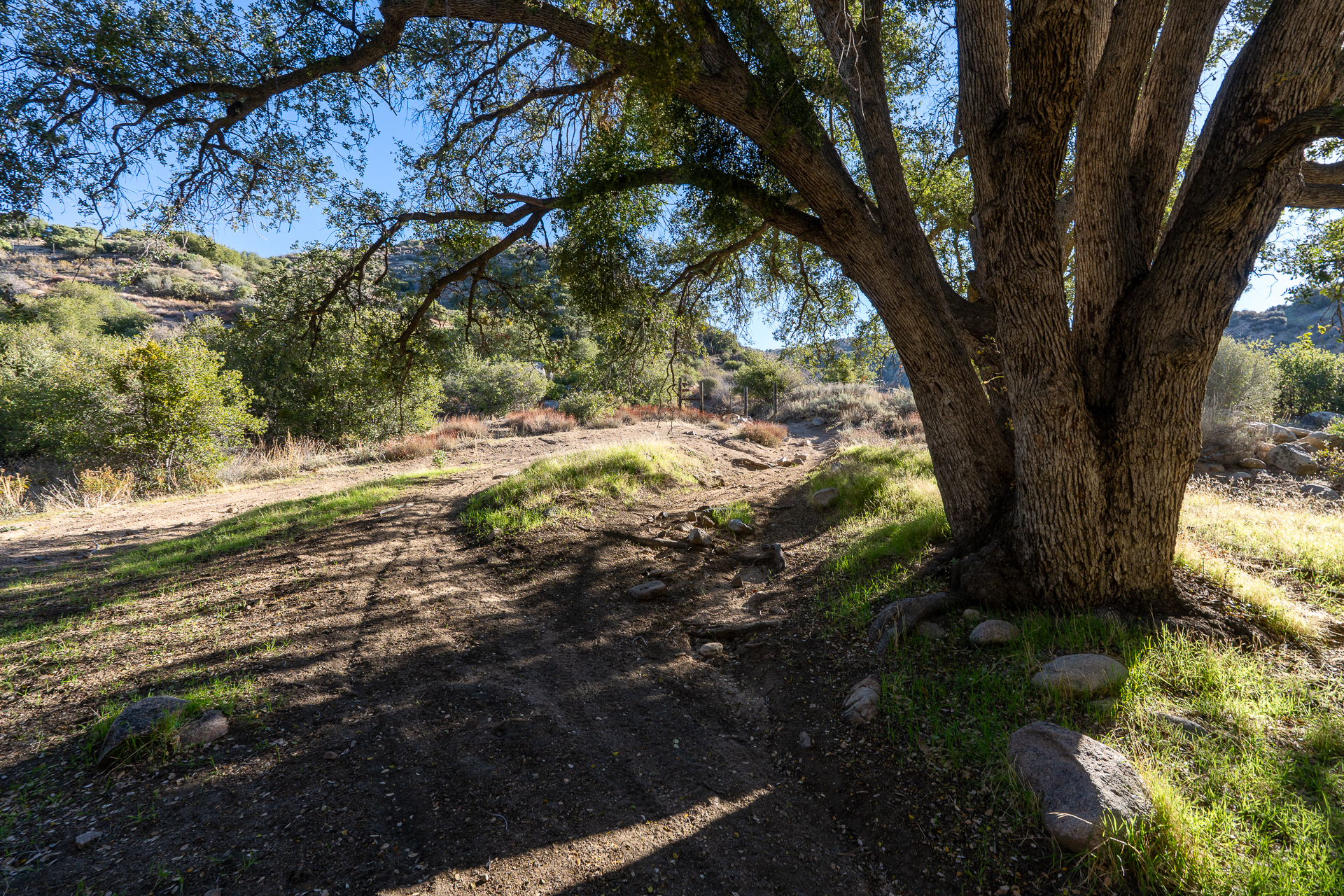
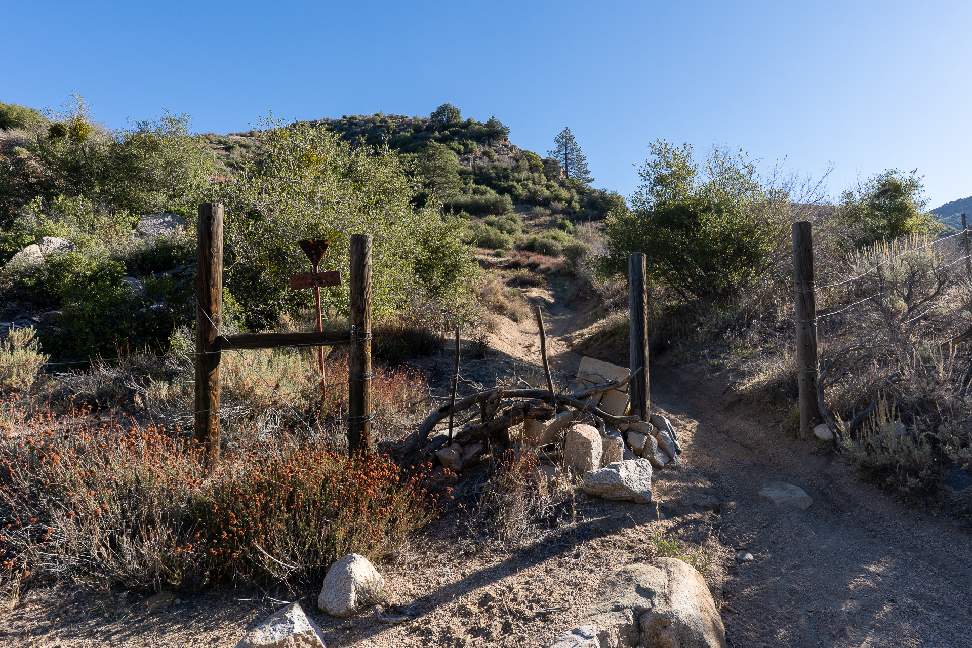
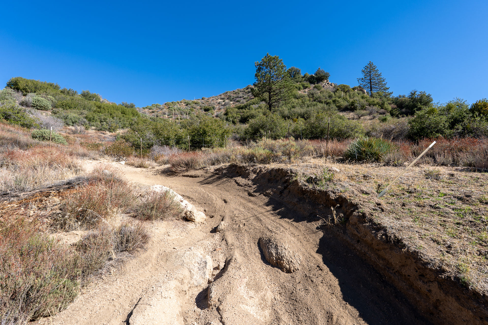
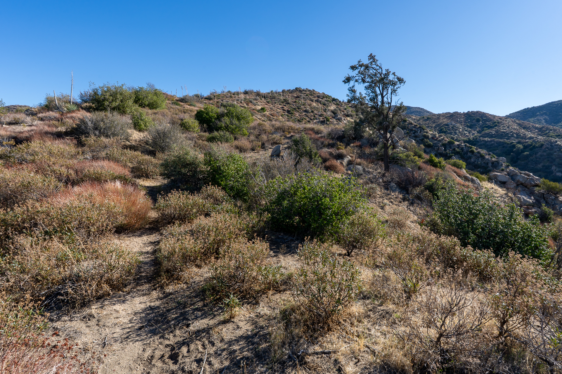
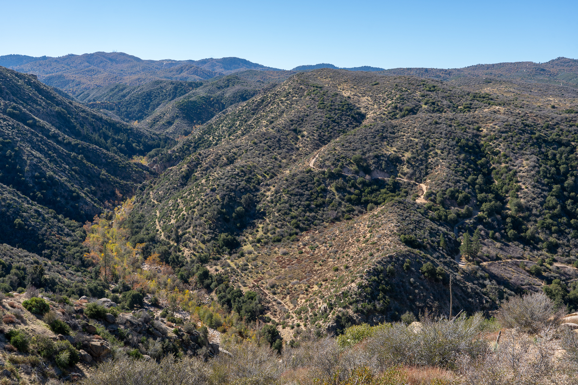
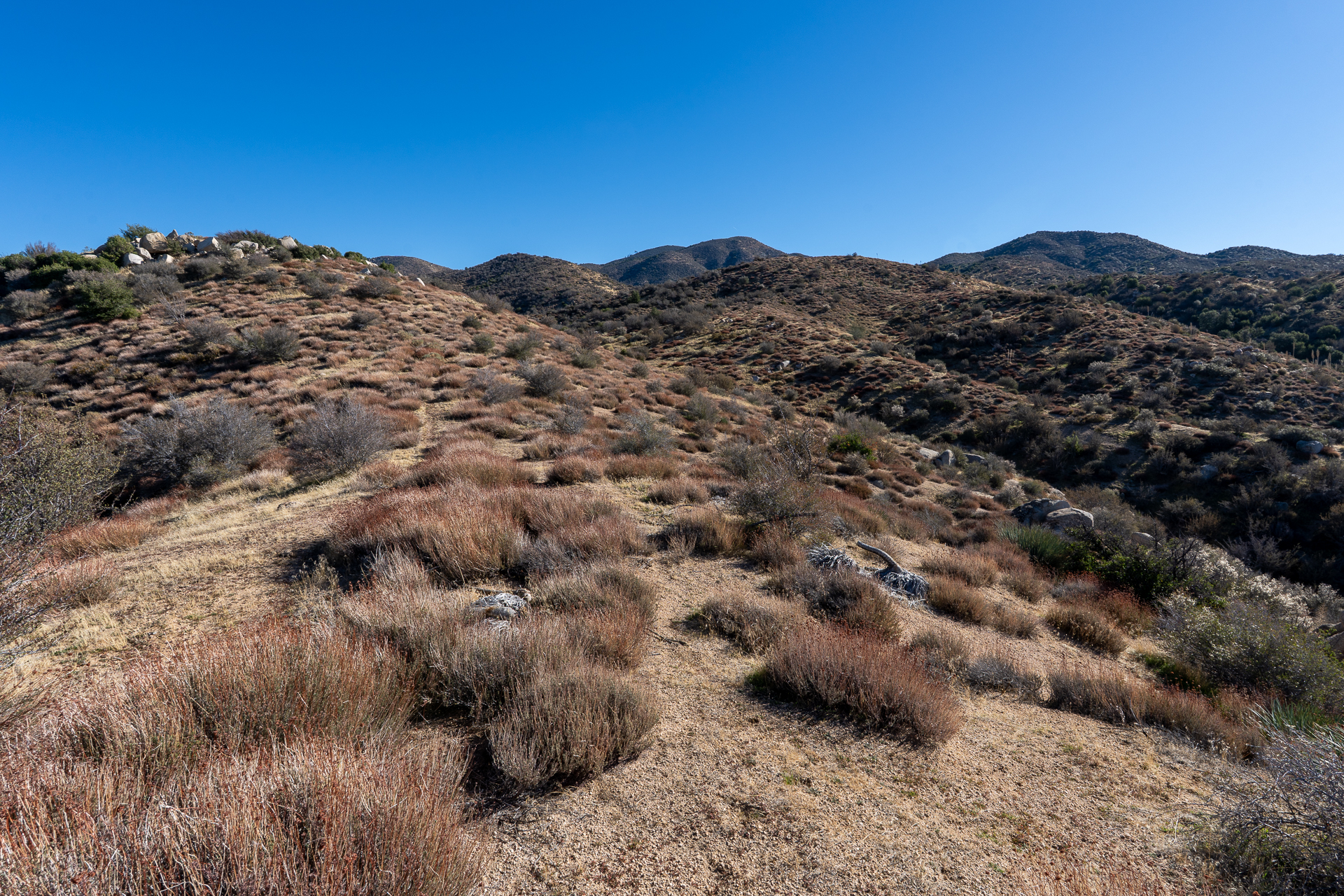
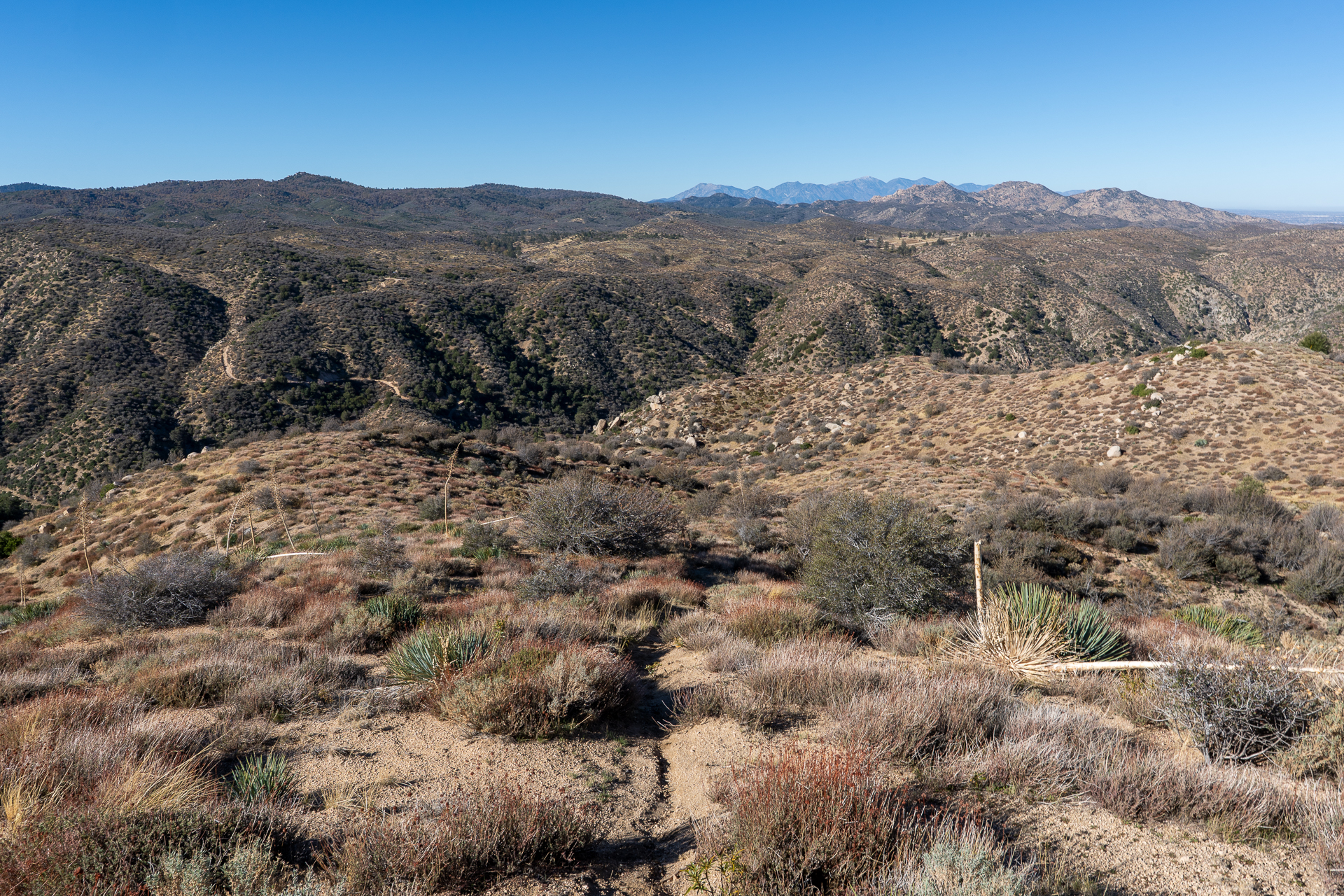
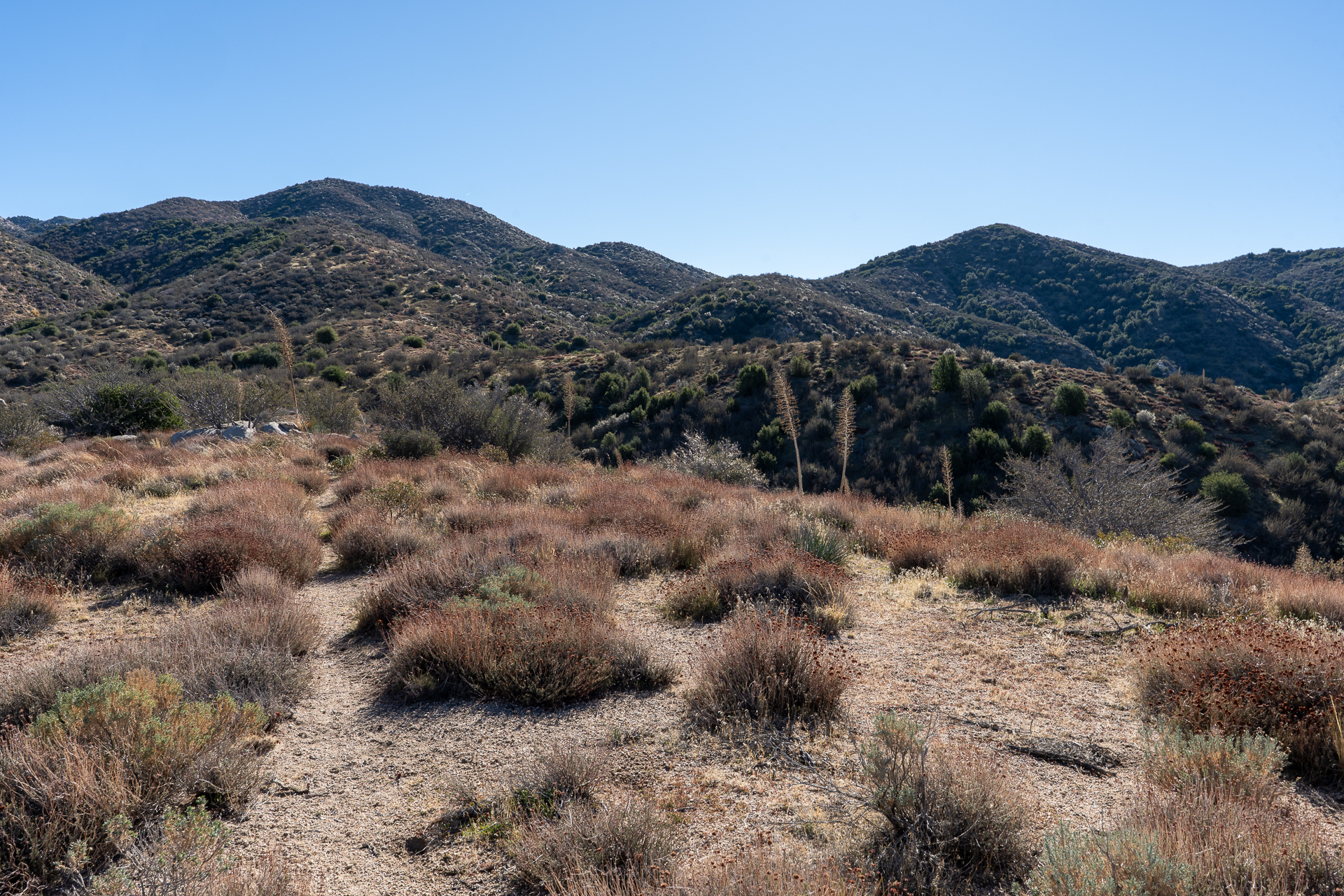
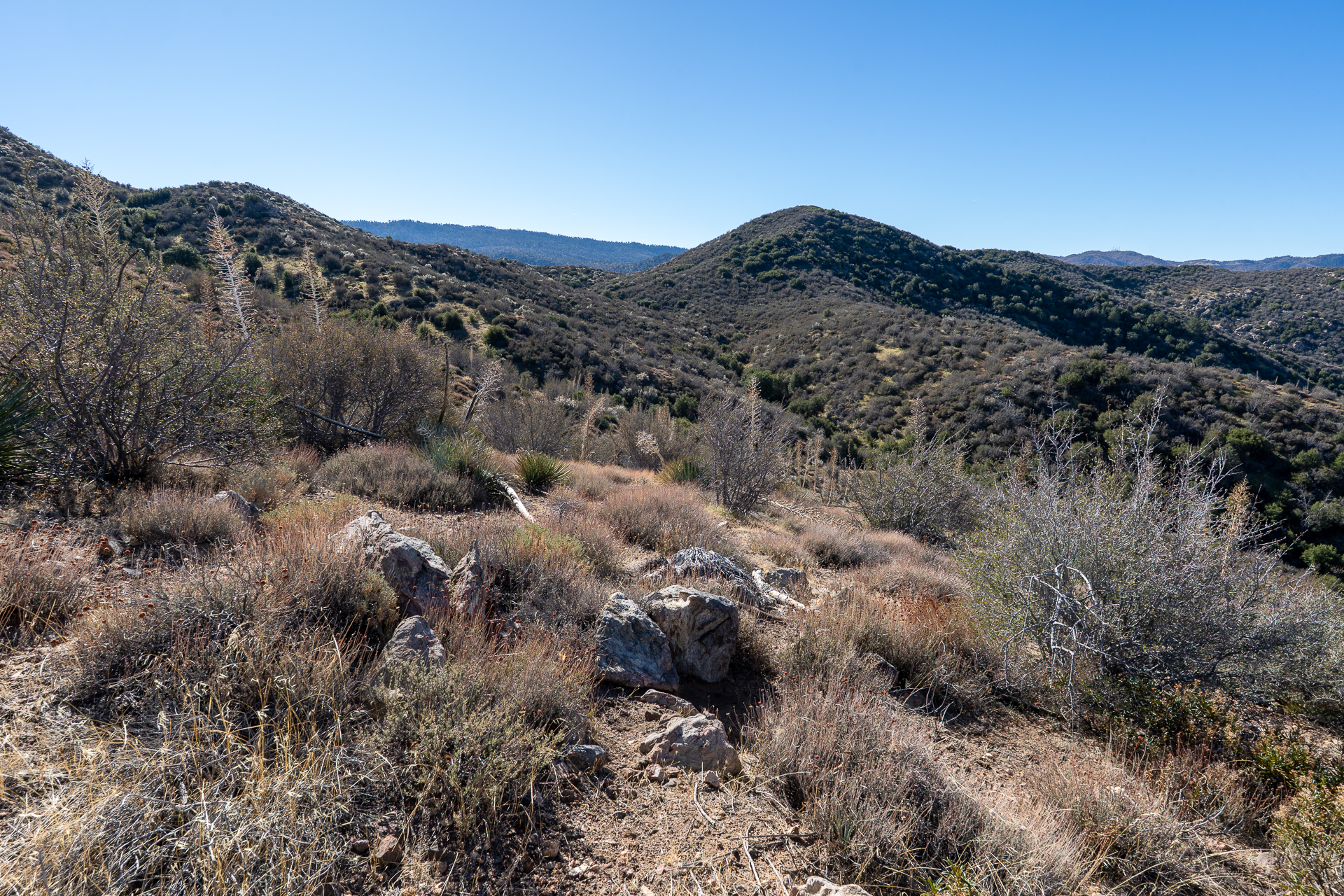
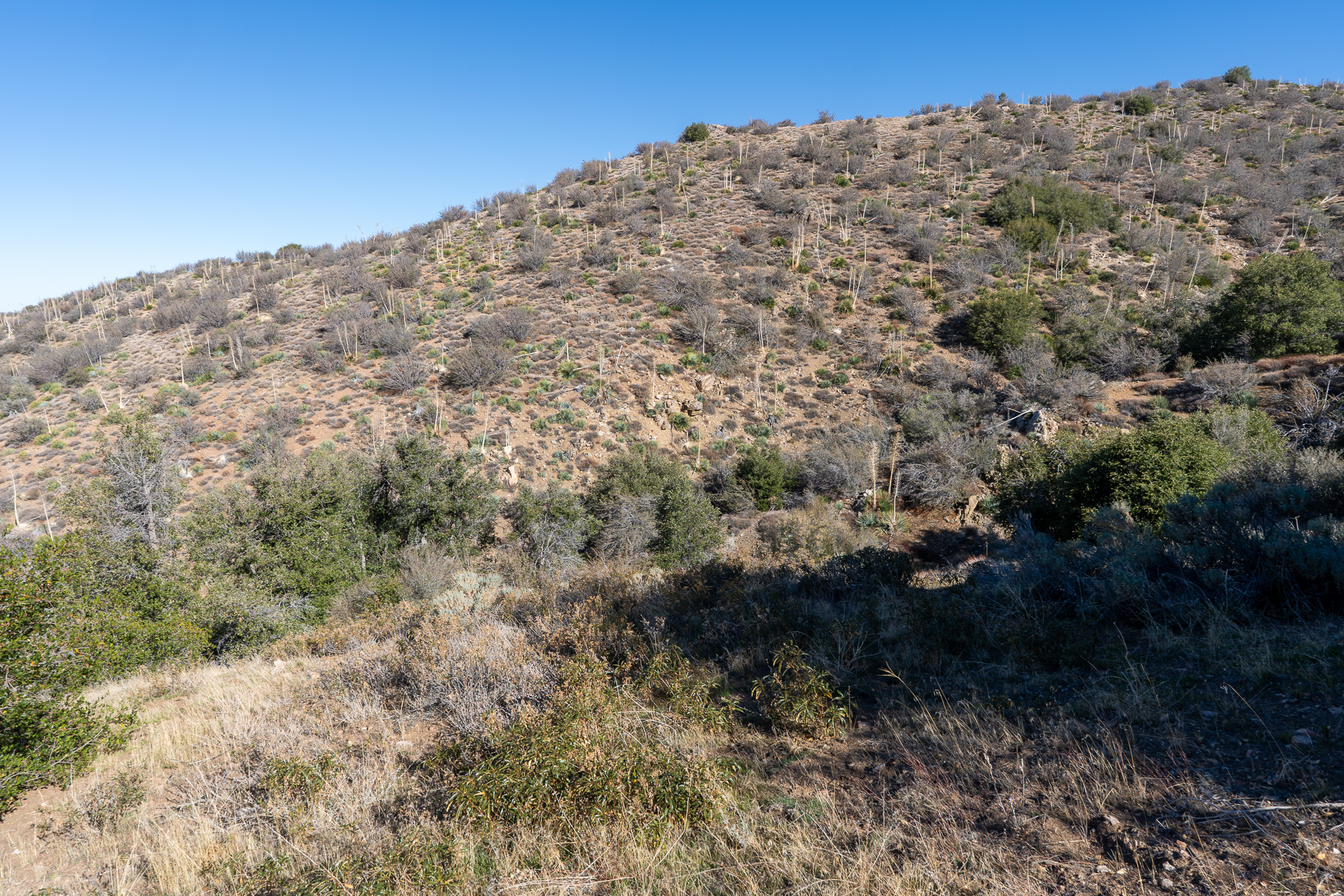
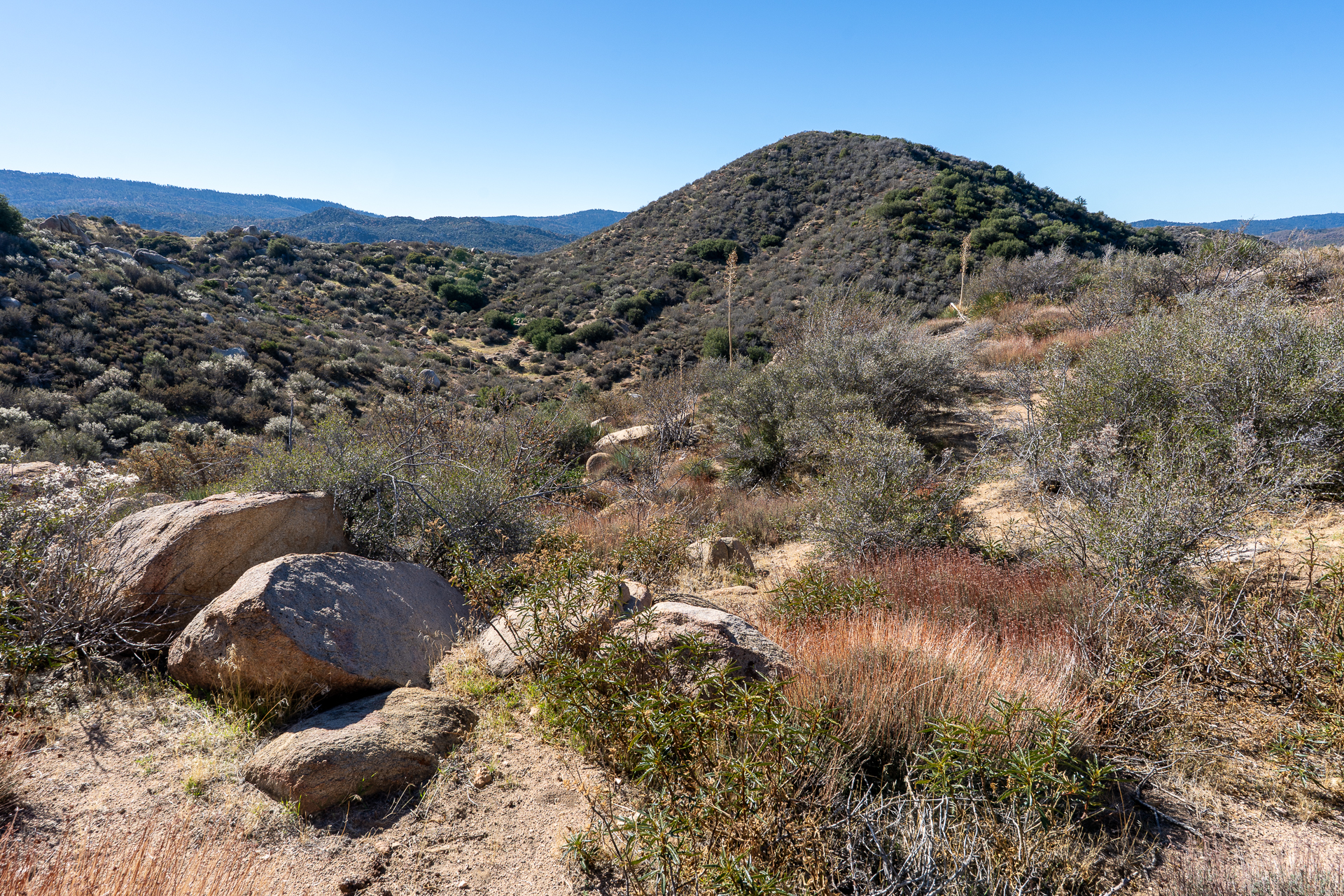
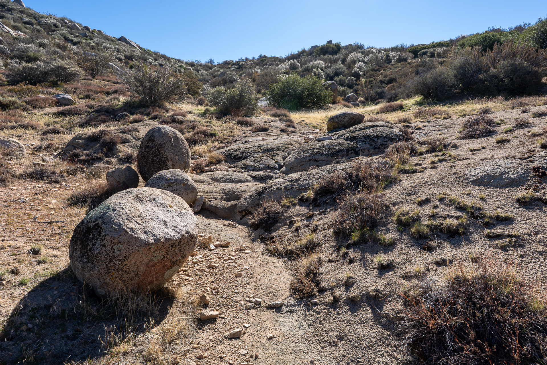
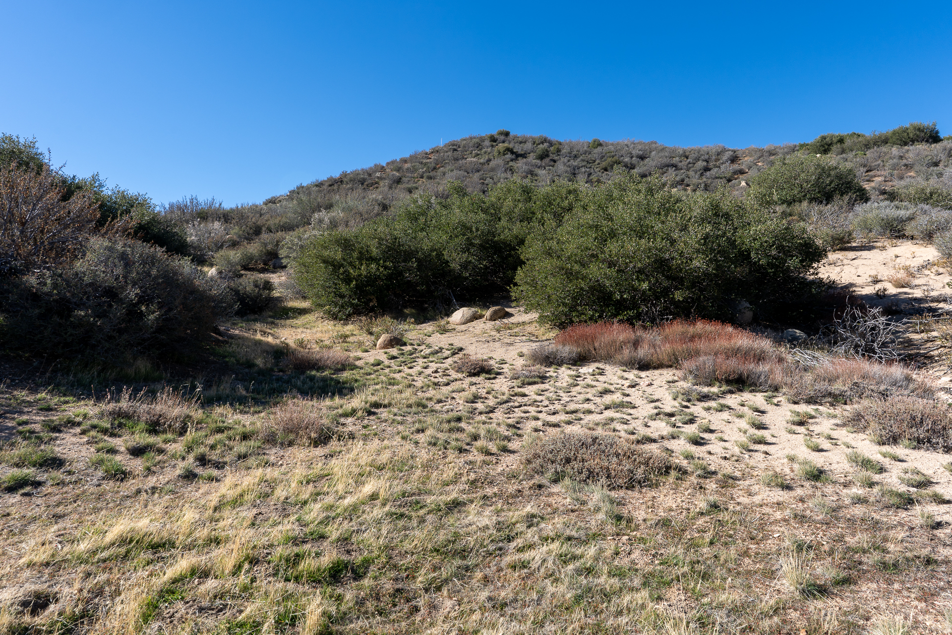
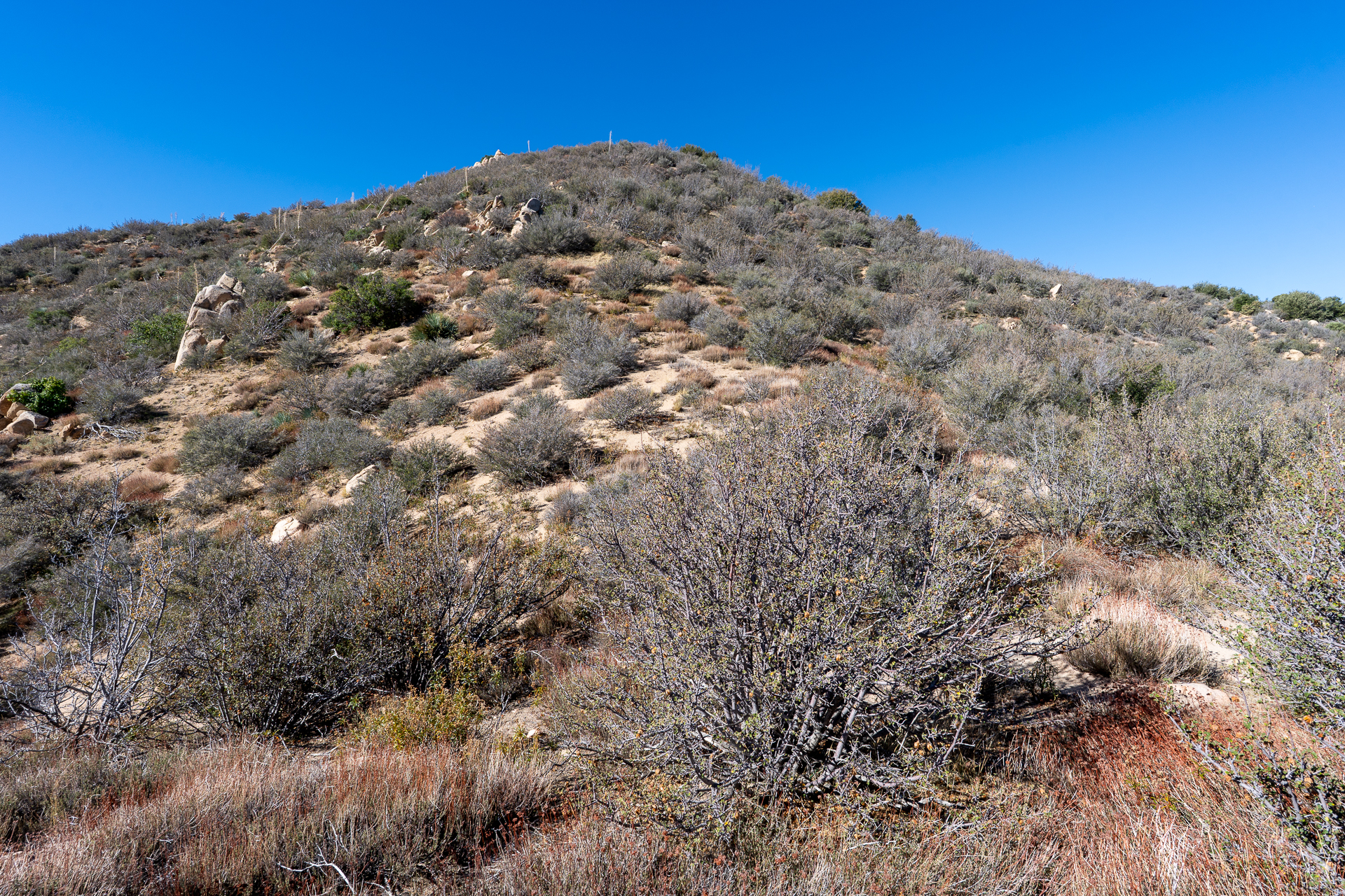
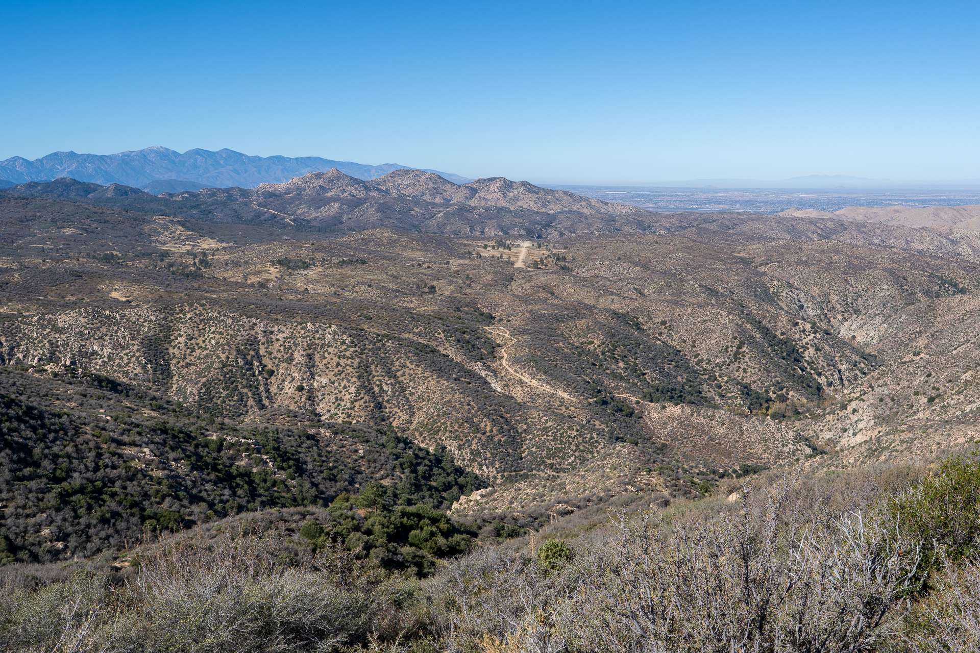
Following Devil's Hole Road as it descends to Deep Creek.Joining the Devil's Hole Trail.Deep Creek crossing.Continuing along Devil's Hole Trail.Approaching the turnoff for an old motorcycle trail leading to Deer Mountain. (Hop the fence on the right.)Following the ridge.View south along Deer Creek. Devil's Hole Road is visible on the right. (My car is parked somewhere on the plateau, top-right.)View back. The Pinnacles, a group of granite peaks reminiscent of Joshua Tree, is off in the distance on the right.Approaching the turnoff for Deer Mountain. In the distance are Shay Mountain (center) and False Deer Mountain (right). Deer Mountain is out of frame, right.Following the 5,200-foot contour toward Deer Peak, ahead.View back after crossing a gully, after which a use trail appears.Descending into a basin at the base of Deer Mountain.Starting up Deer Mountain's east ridge.Deer Mountain summit. View east toward Shay Mountain.View west toward The Pinnacles.