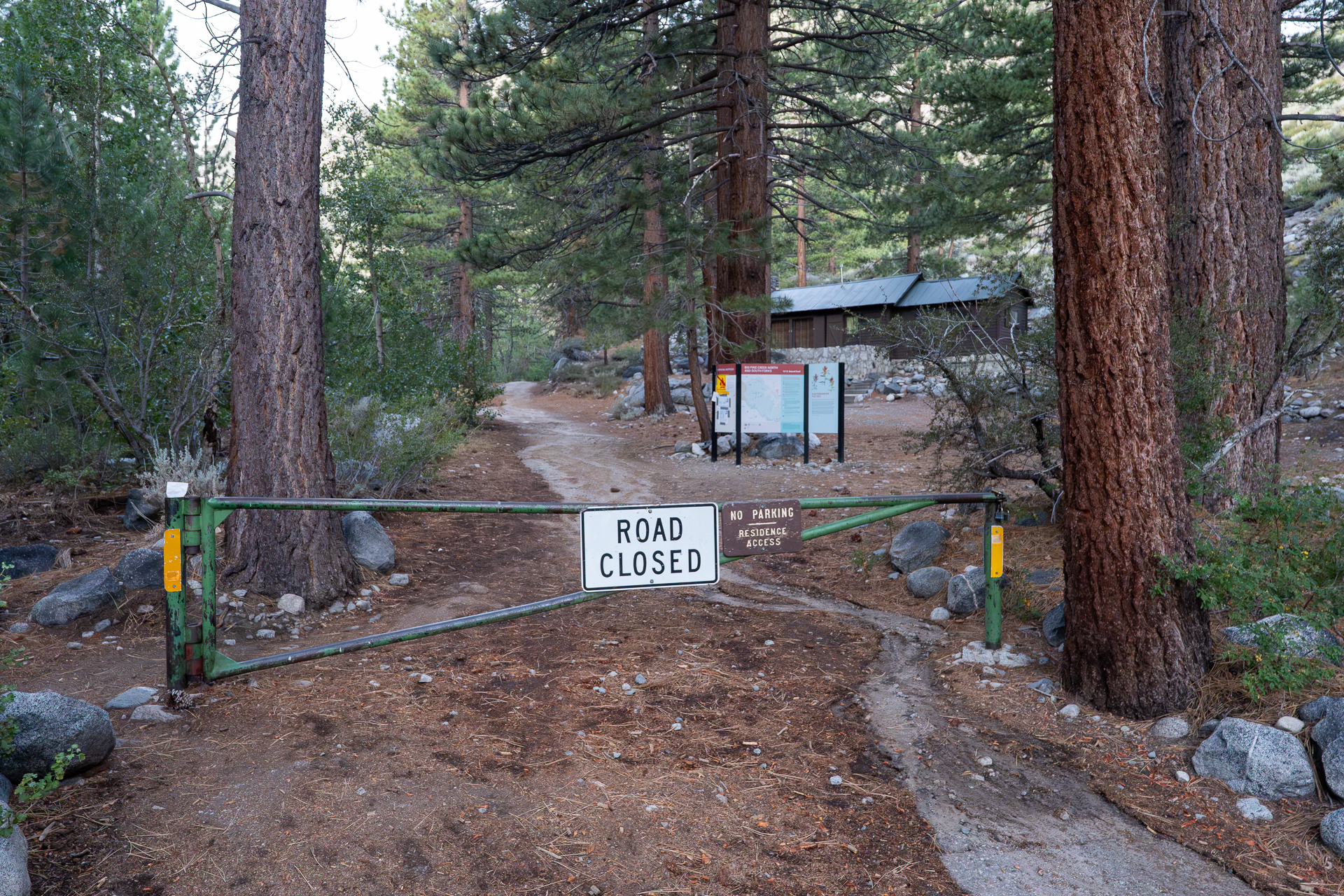
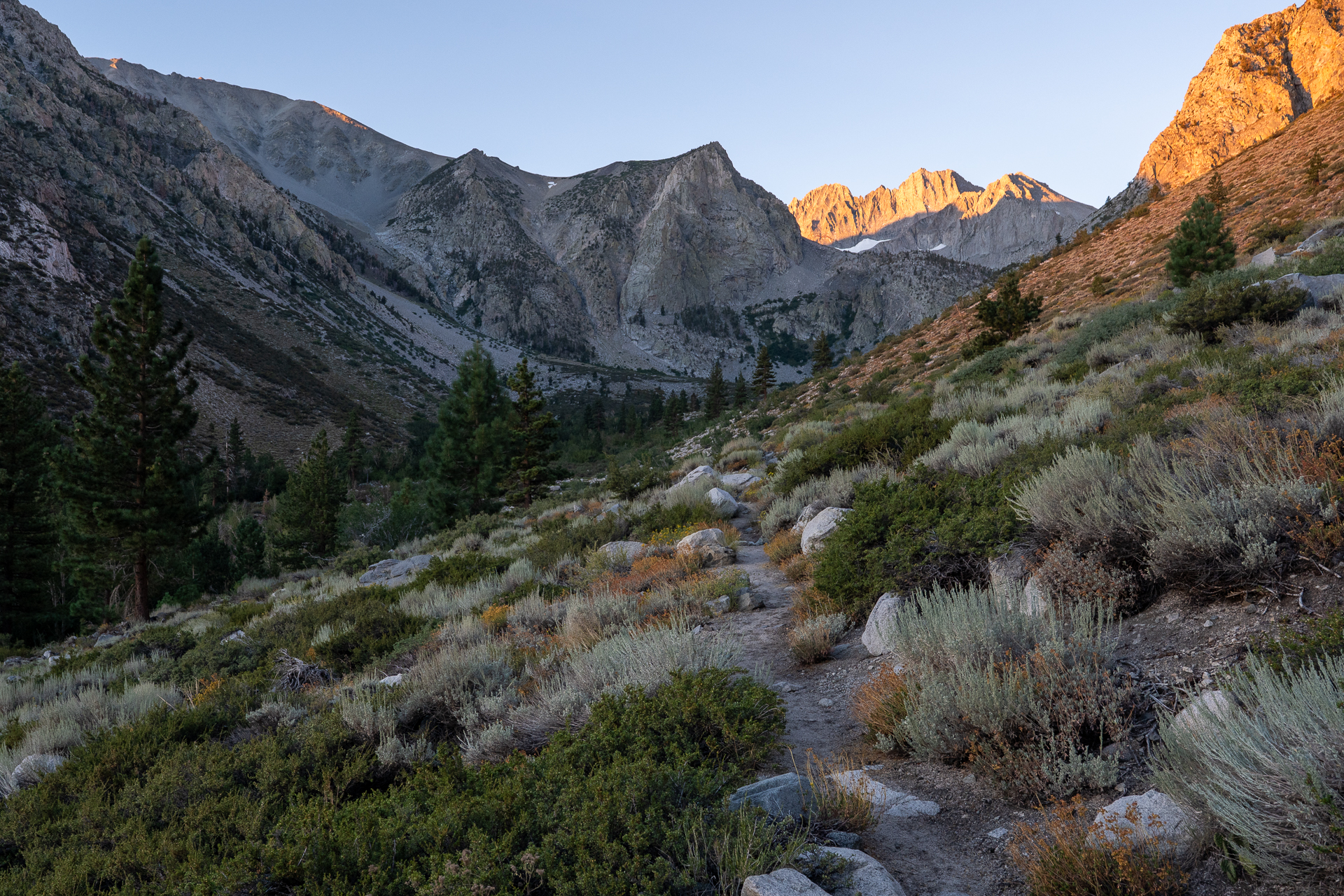
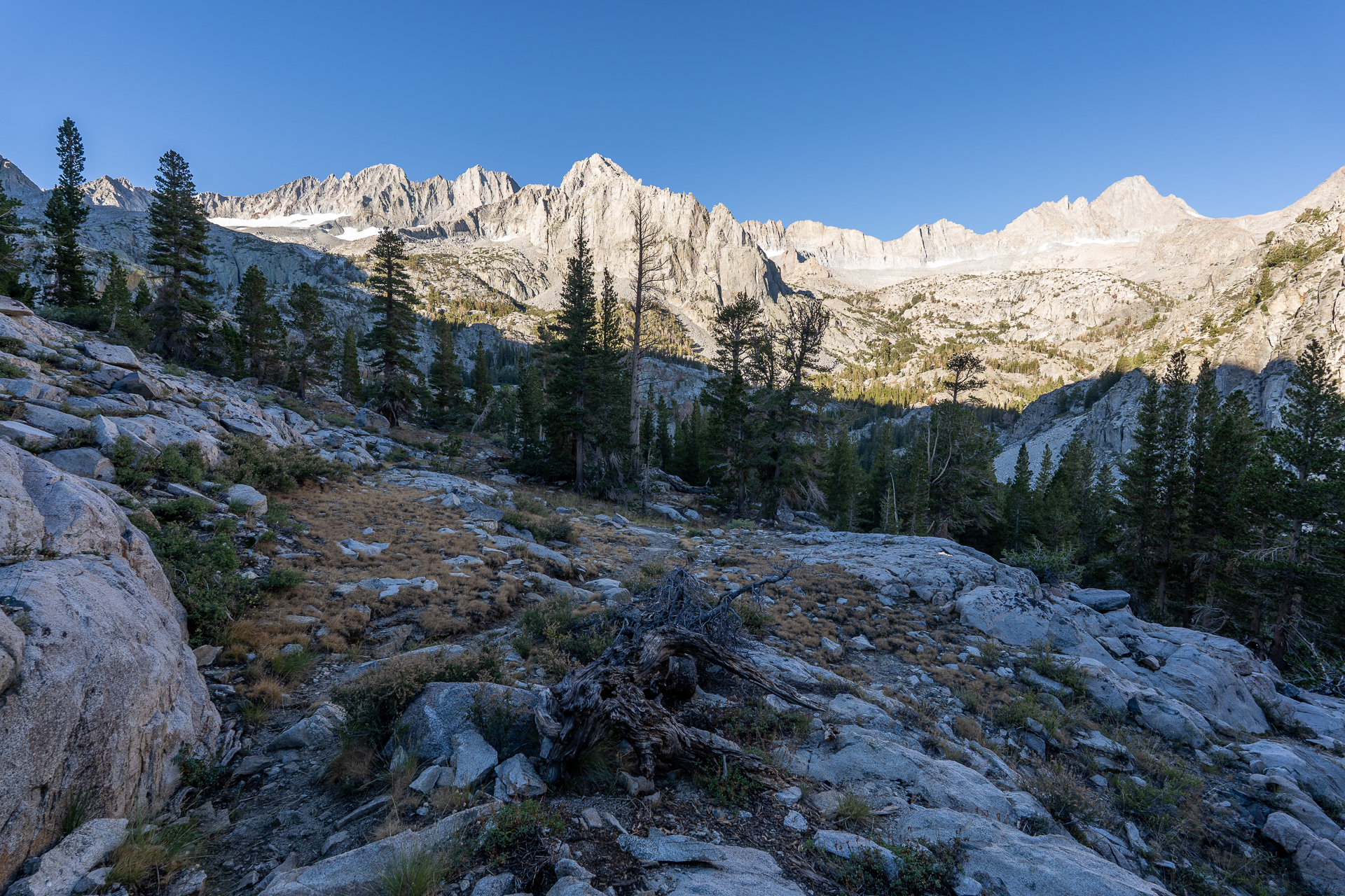
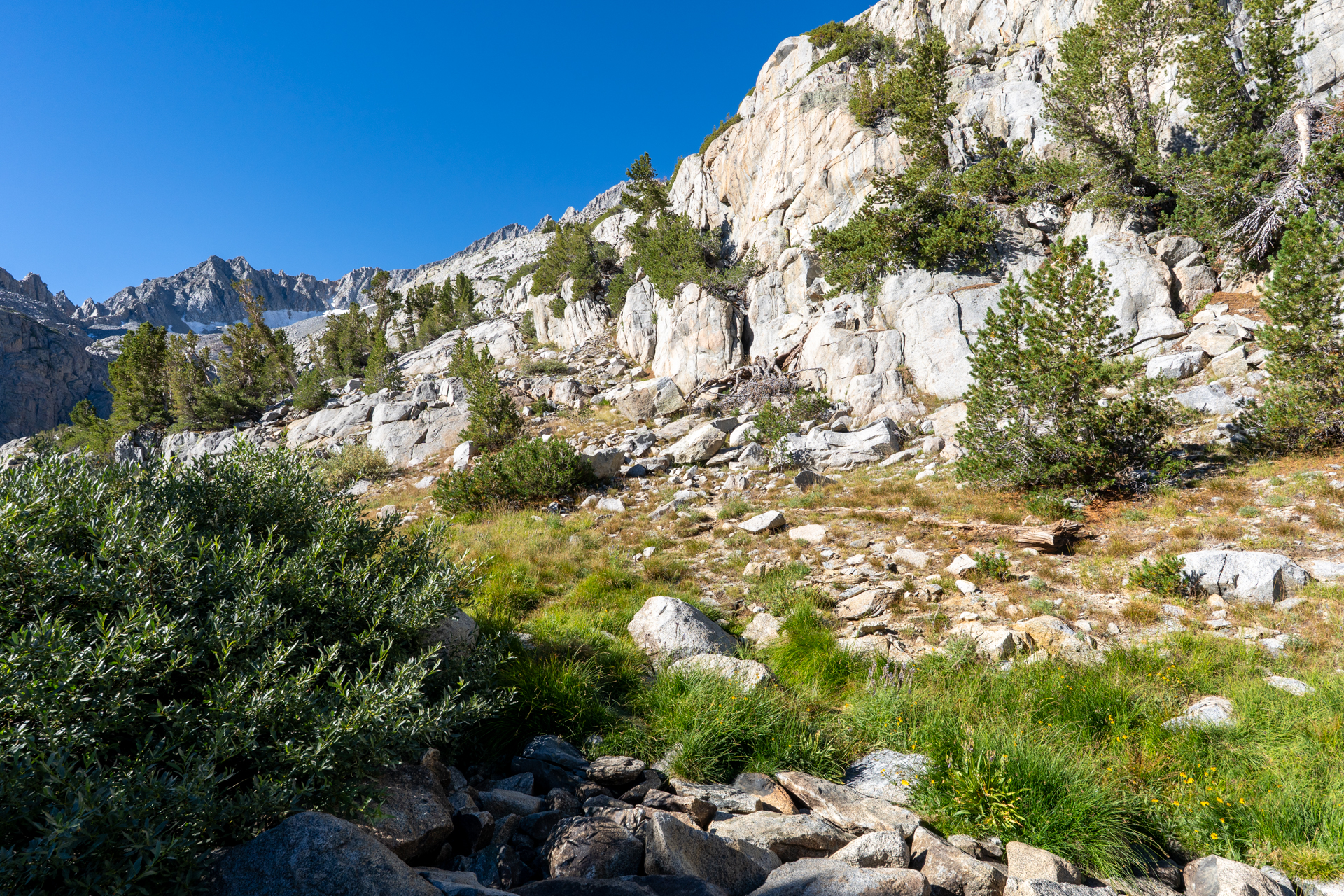
Joining the South Fork Big Pine Creek Trail. In the distance, the sun illuminates the Palisade Crest.
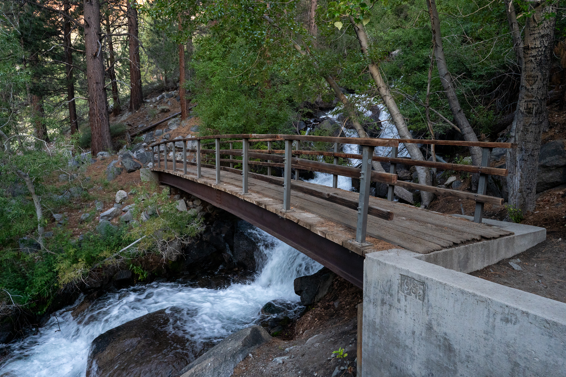
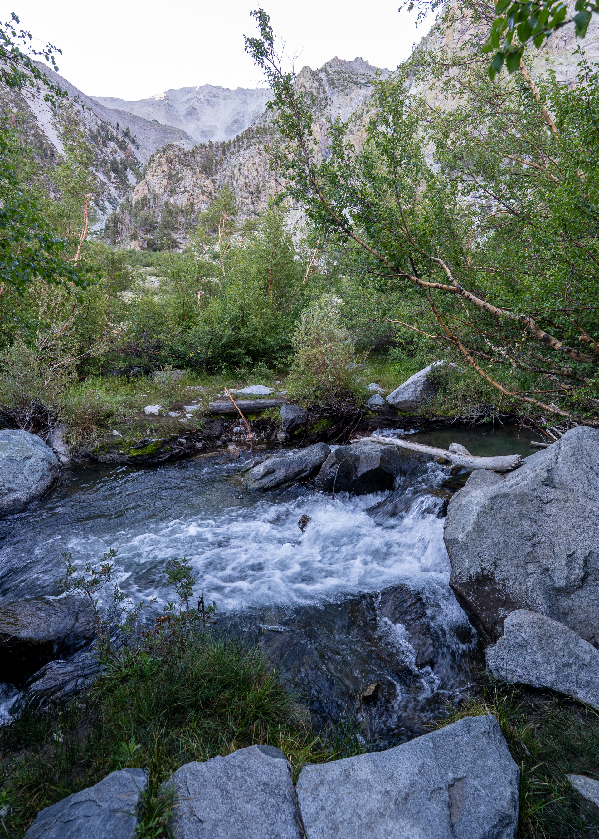
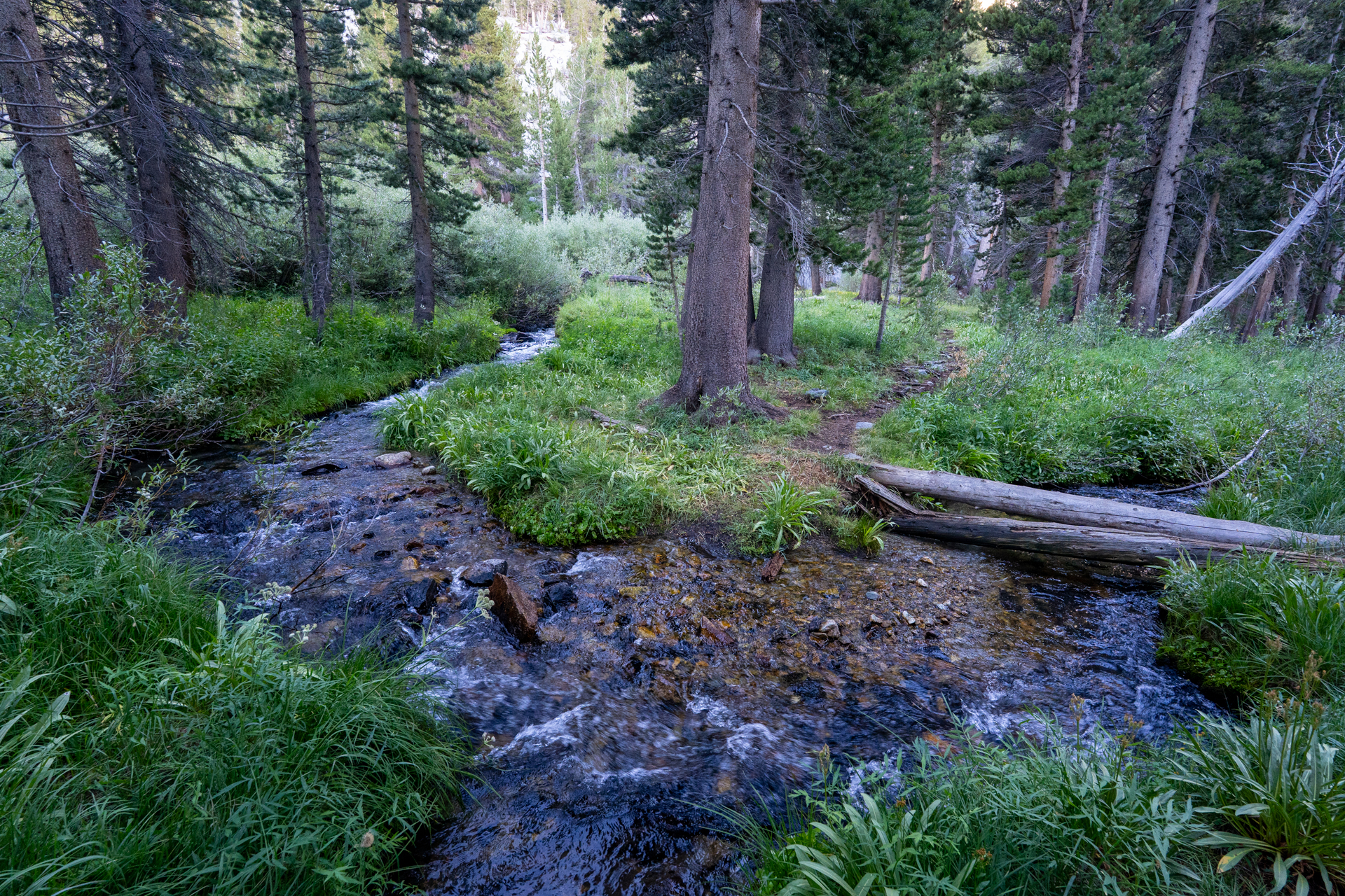
South Fork Big Pine Creek crossing.
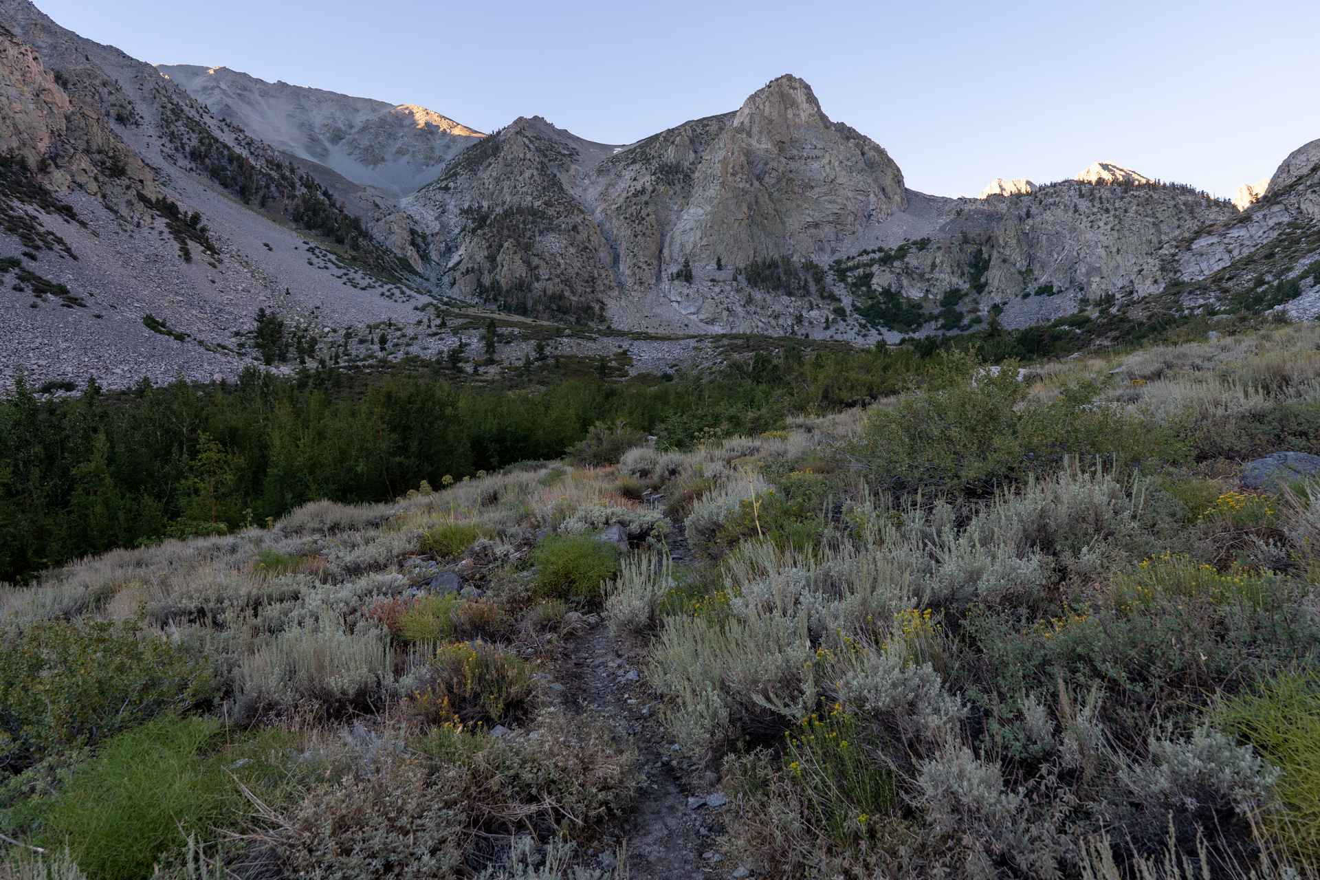
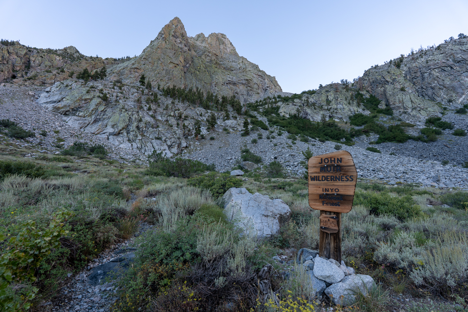
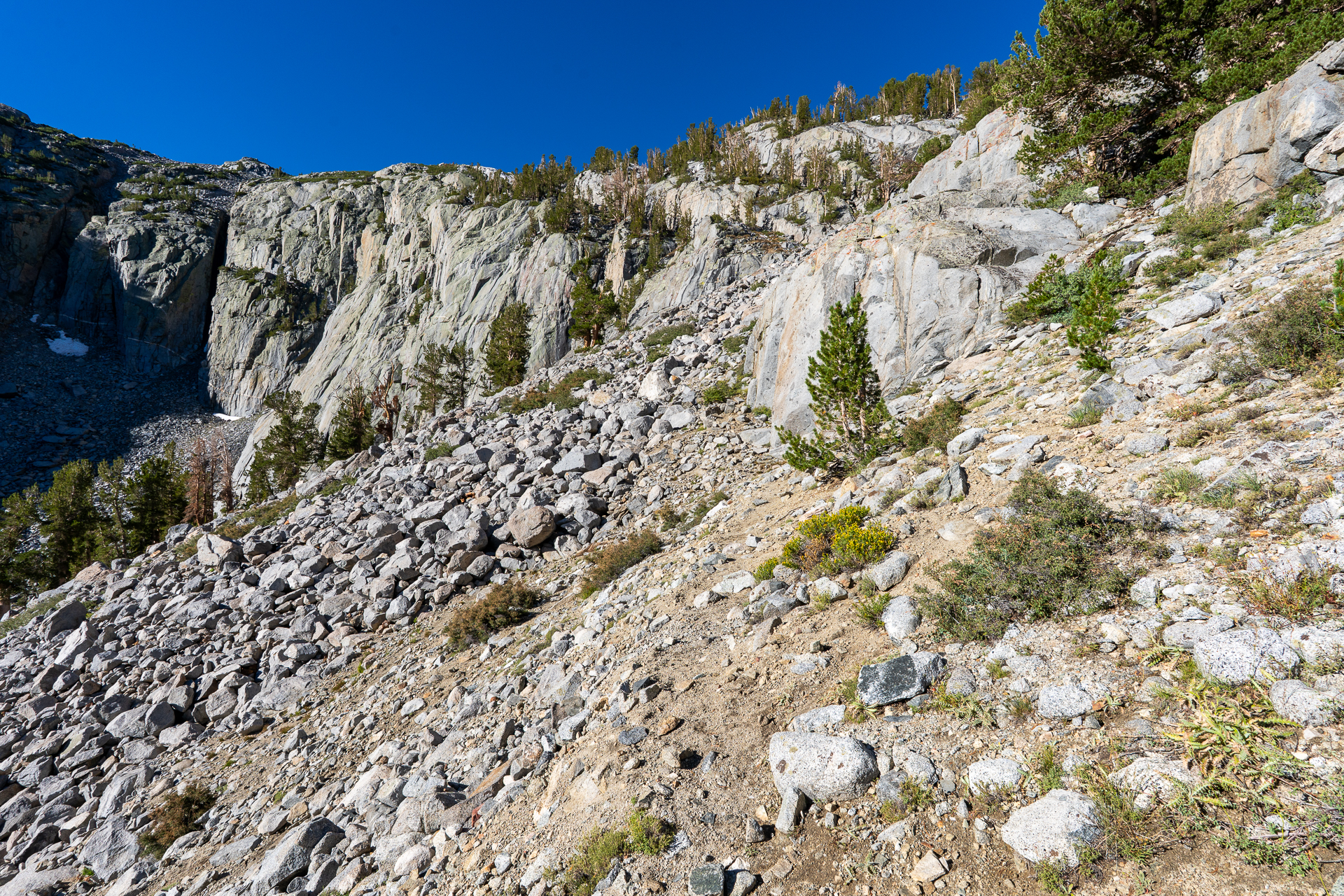
Entering the John Muir Wilderness. The trail makes many switchbacks as it ascends the cliff ahead.
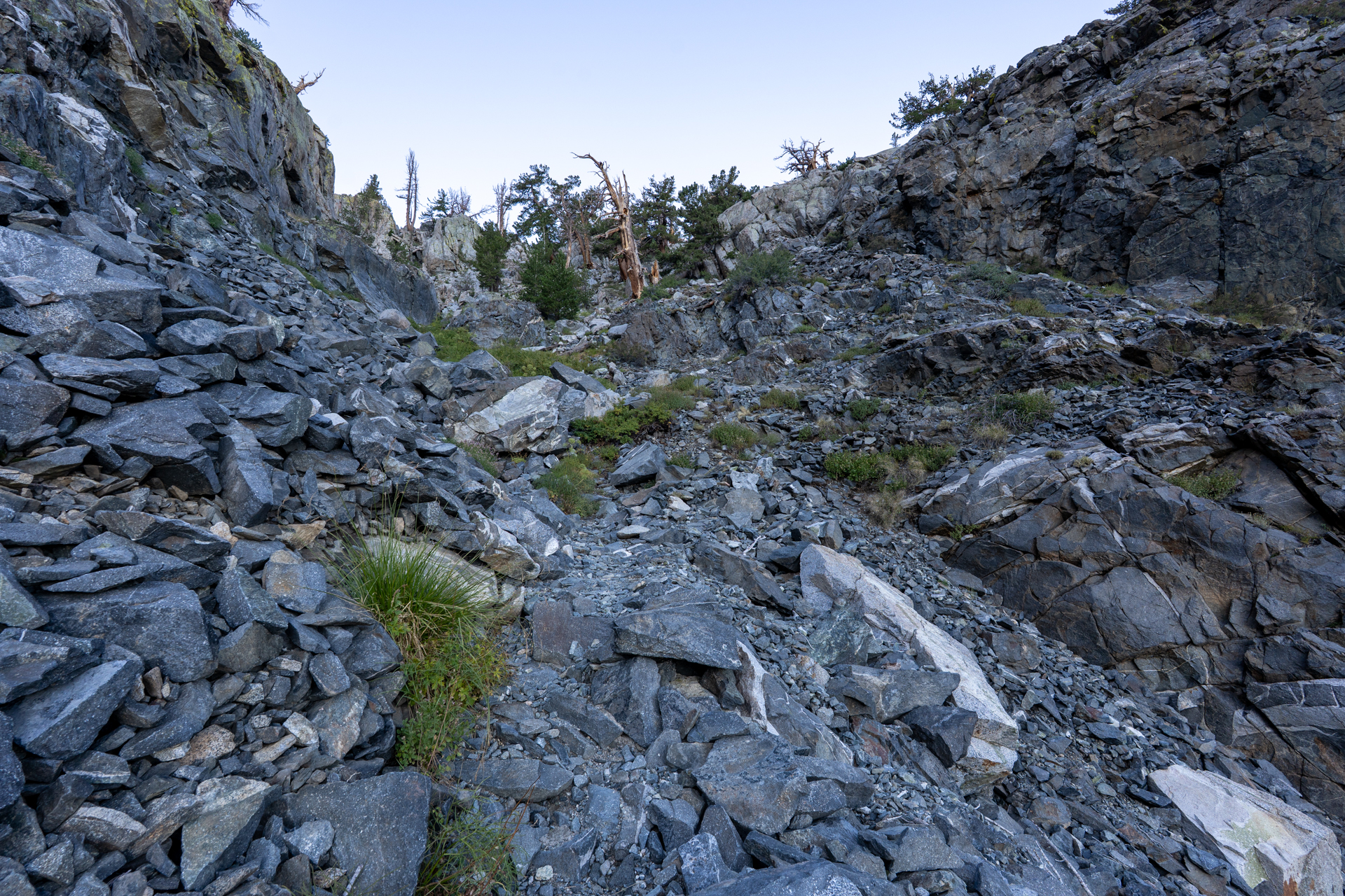
Ascending a gully via a set of short switchbacks.
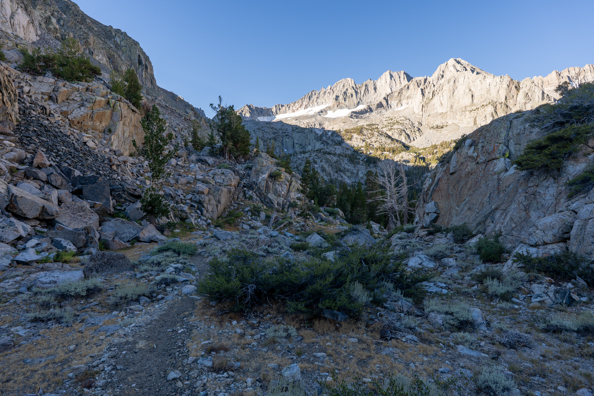
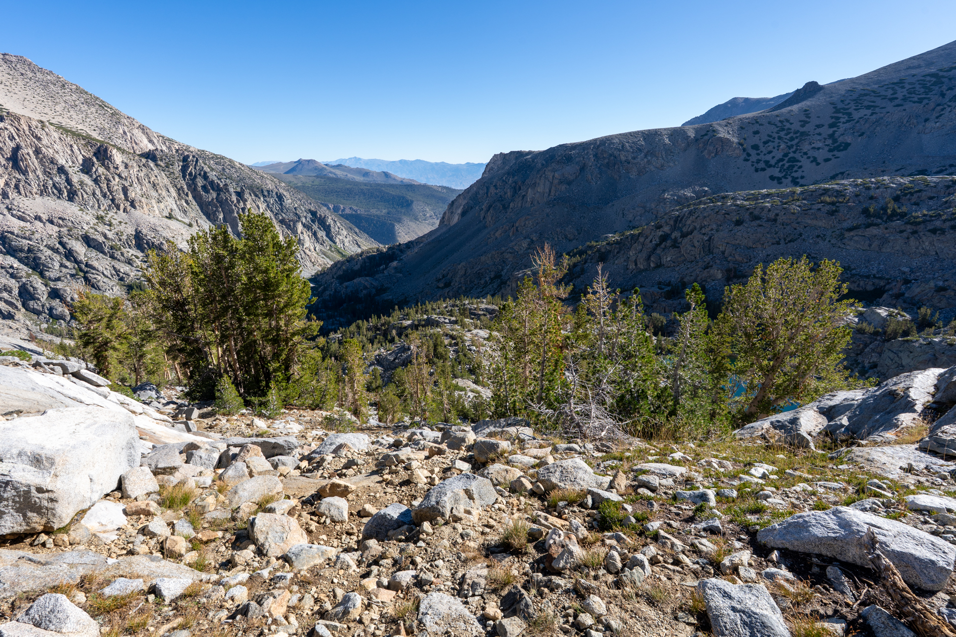
Descending about 100 feet into a forested basin. Studding the Palisade Crest are two fourteeners: Middle Palisade (left) and Mount Sill (right).
Creek crossing.
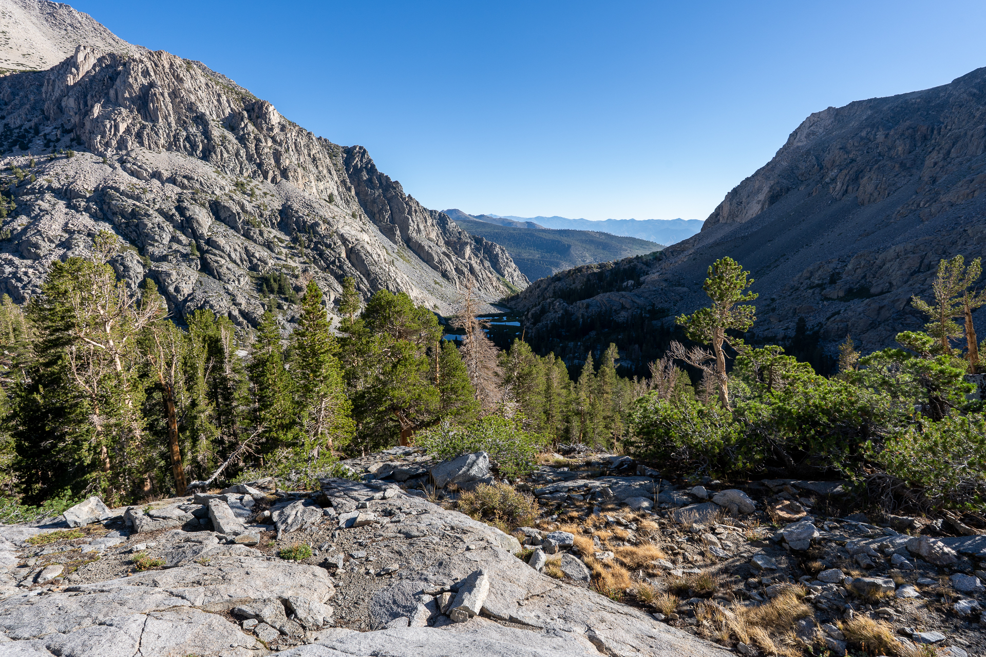
View back toward Mirror Lake.
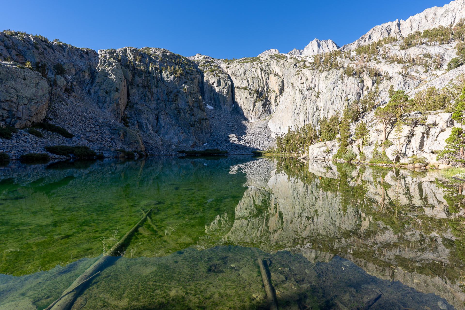
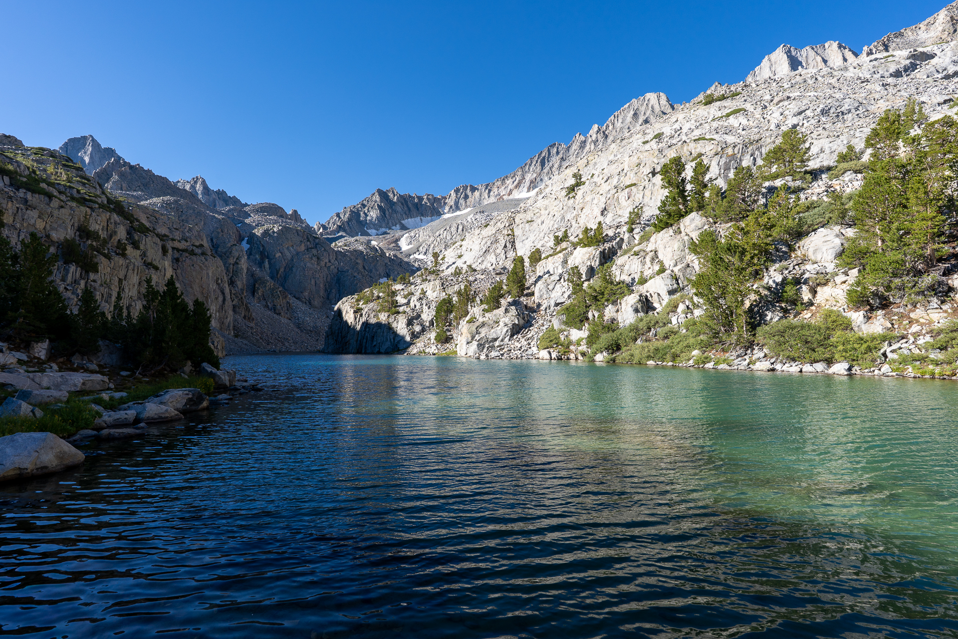
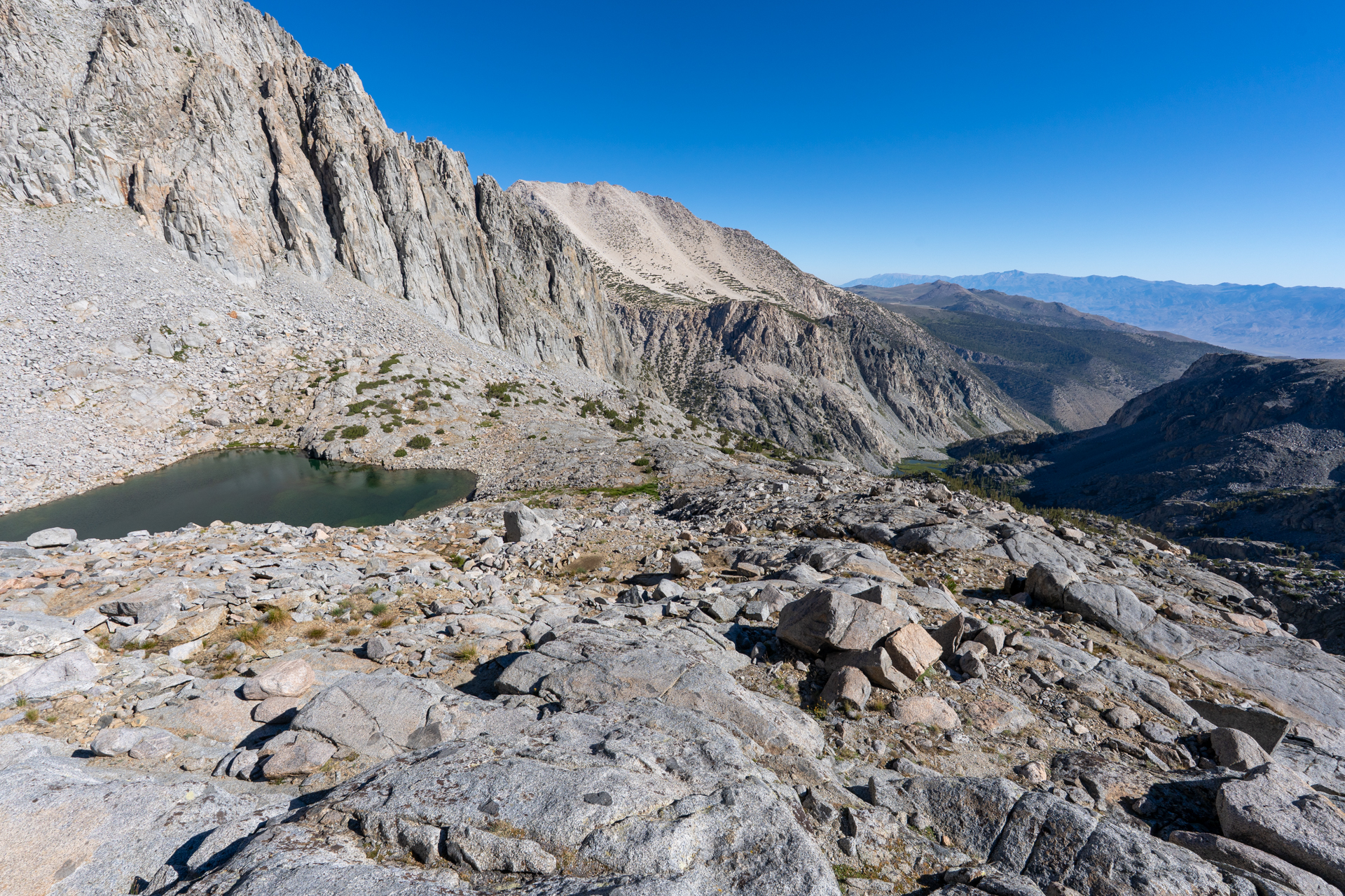
End of the maintained trail at Brainerd Lake.
Following a use trail up the west slope of Brianerd Lake.
View back.
Finger Lake.
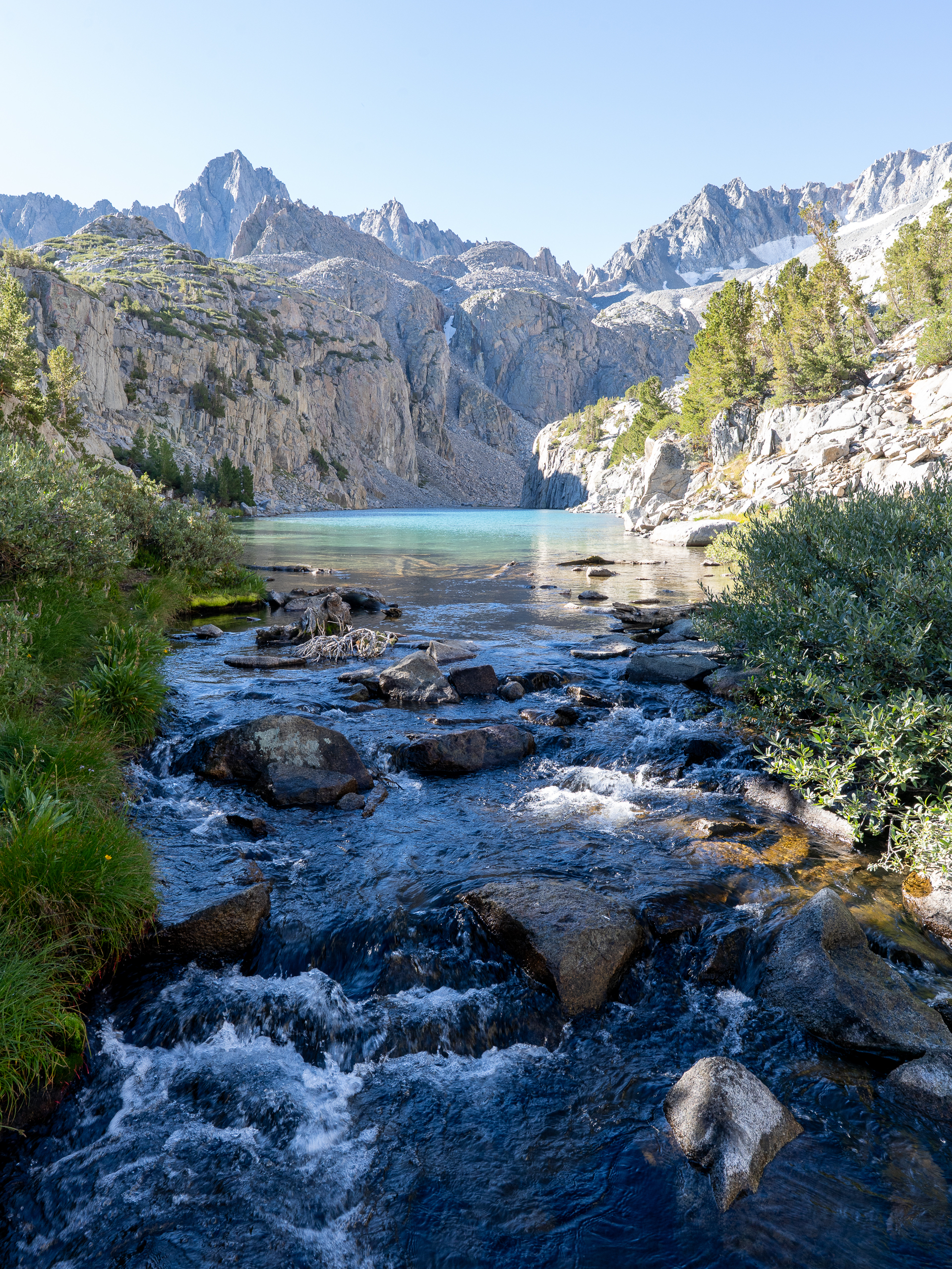
Crossing the outlet of Finger Lake.
Continuing south toward Middle Palisade.
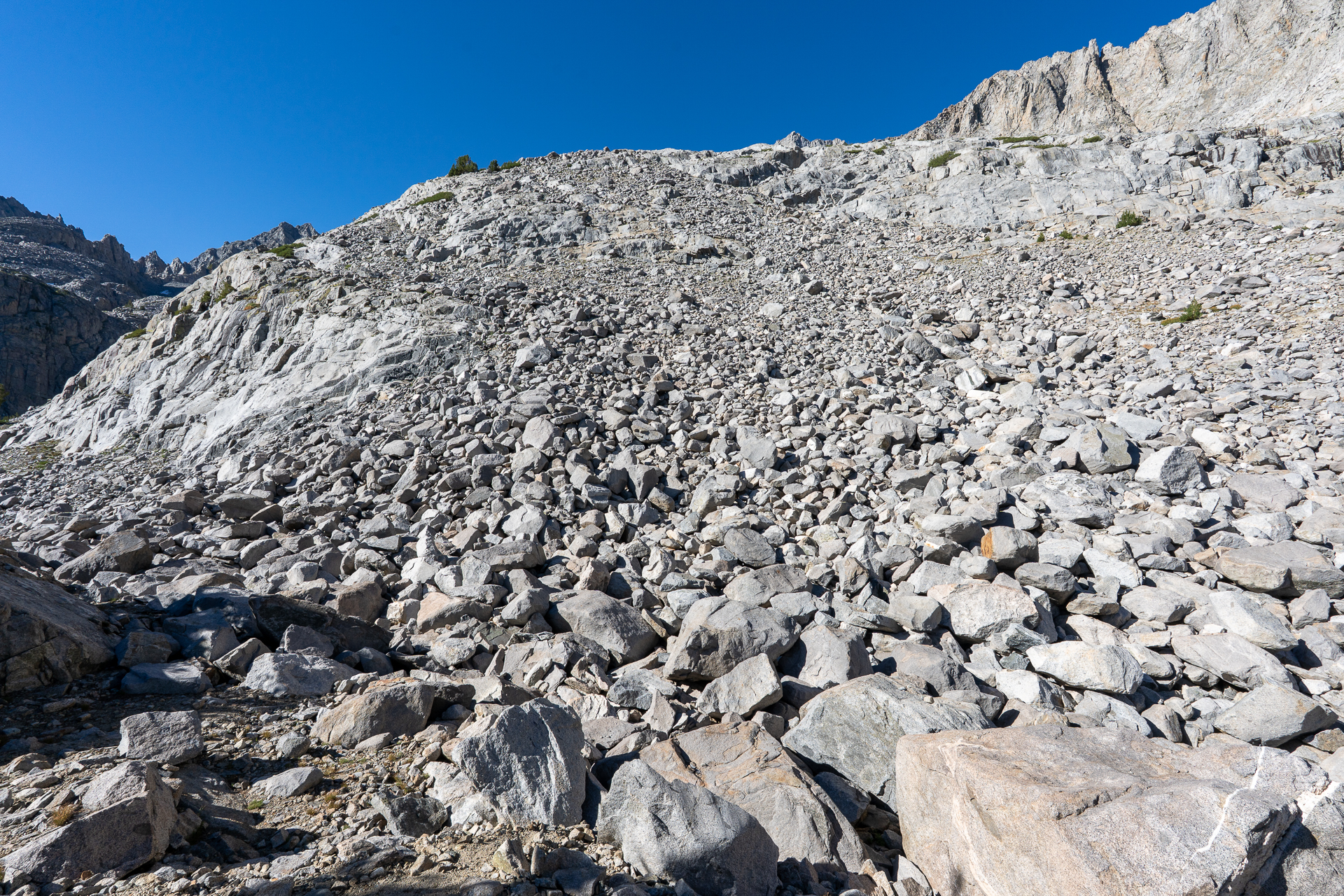
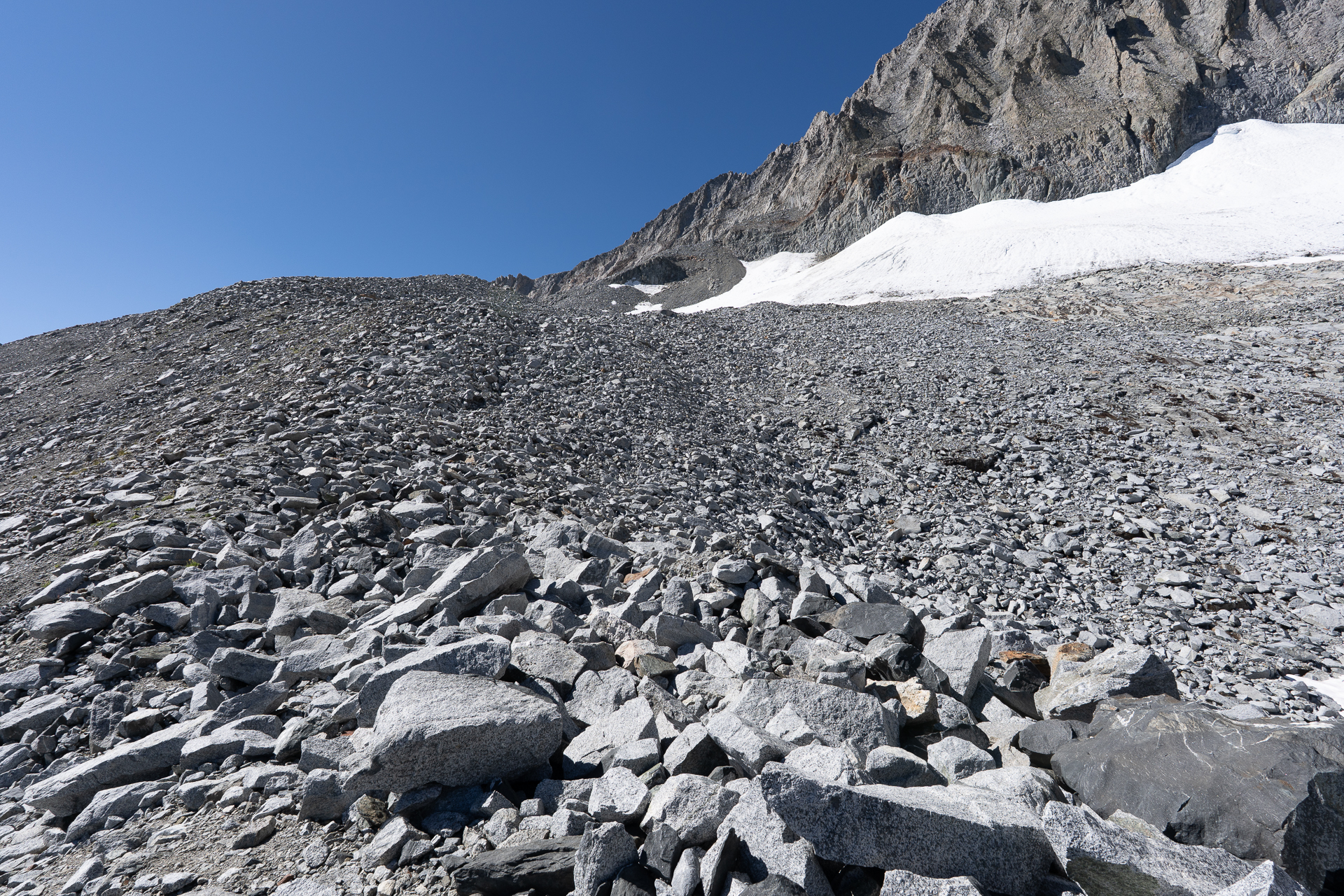
Ascending a talus slope. Class 2.
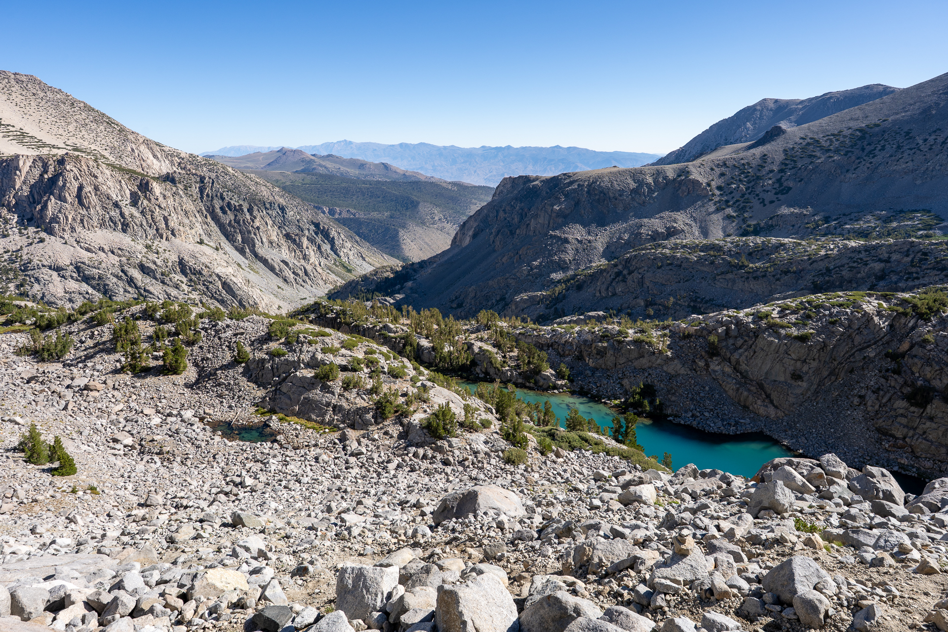
View back toward Finger Lake.
The slope gradually consolidates into a ridge.
View back toward an unnamed lake.
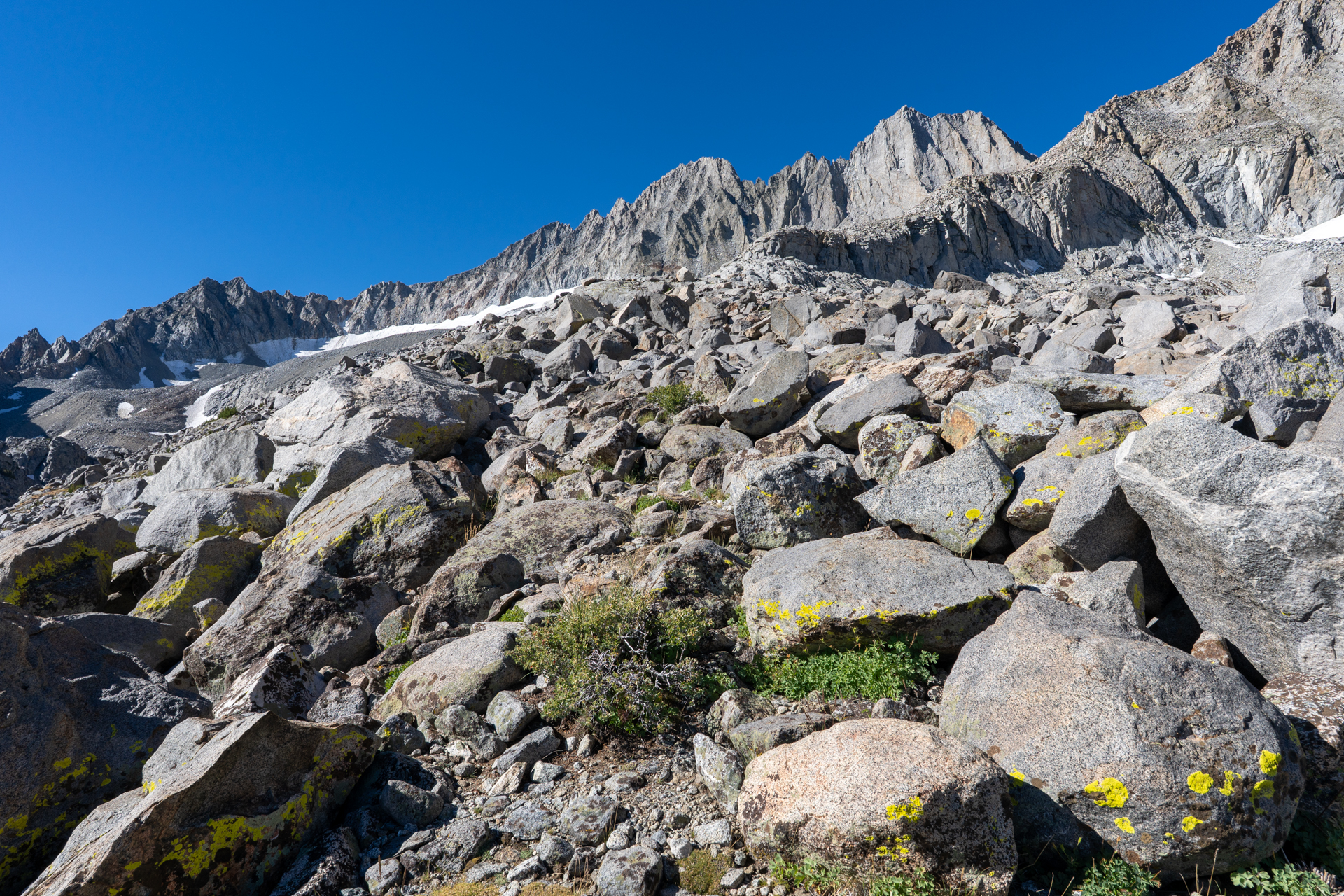
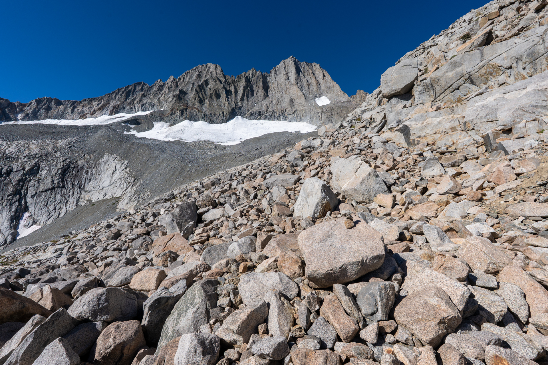
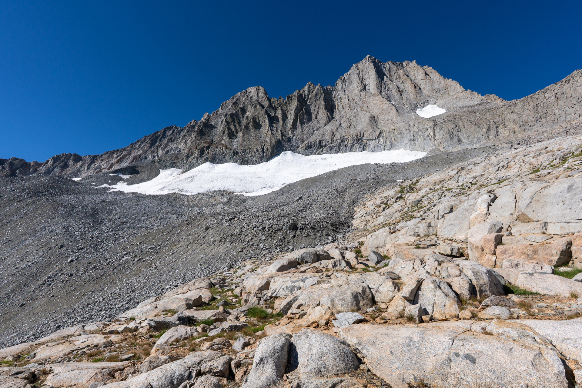
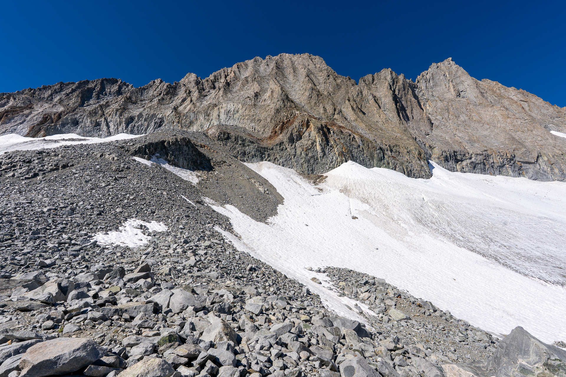
Contouring the ridge. Middle Palisade Glacier is visible ahead.
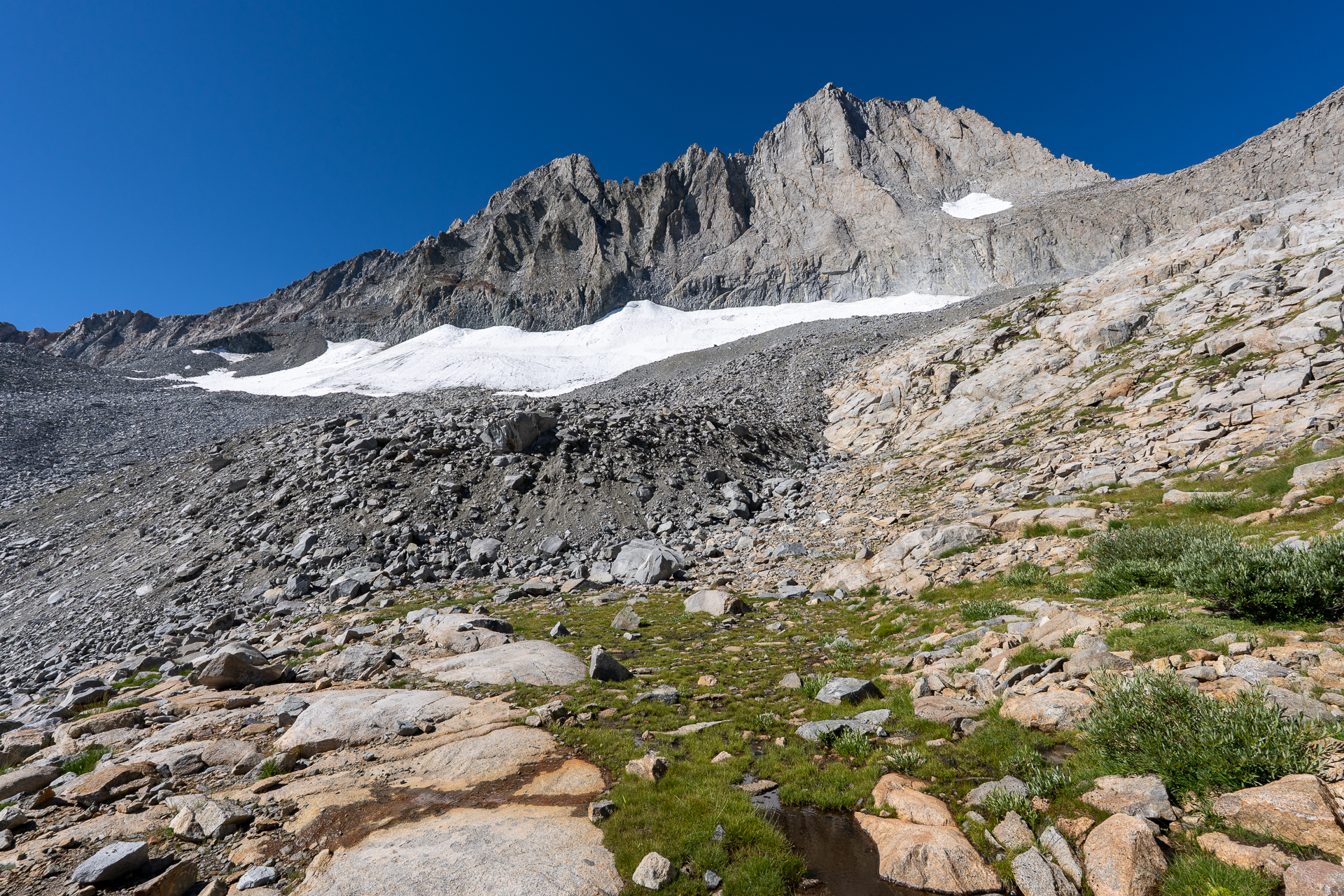
Crossing the moraine below Middle Palisade Glacier.
Joining a northwestern spur that bisects the glacier.
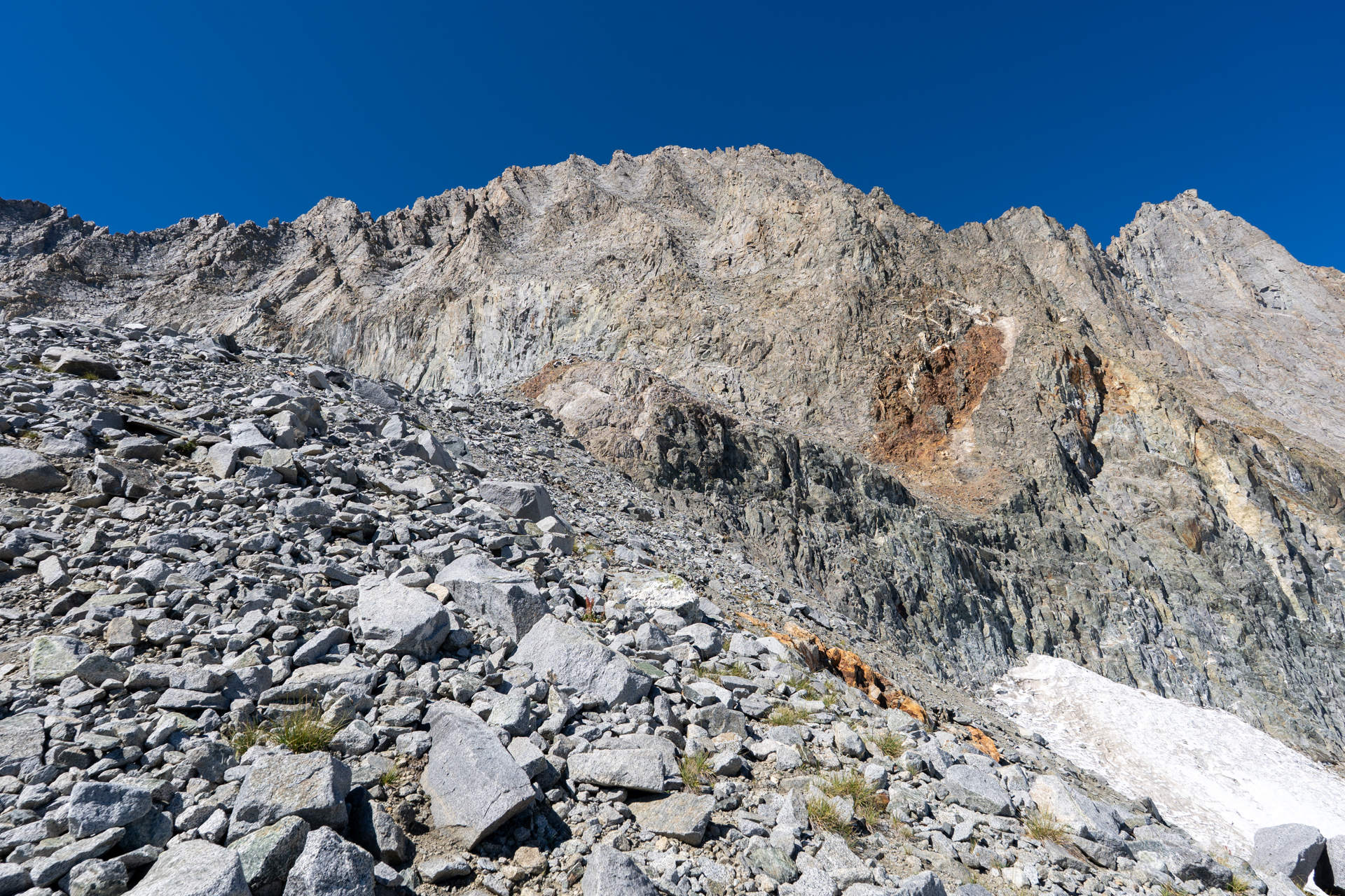
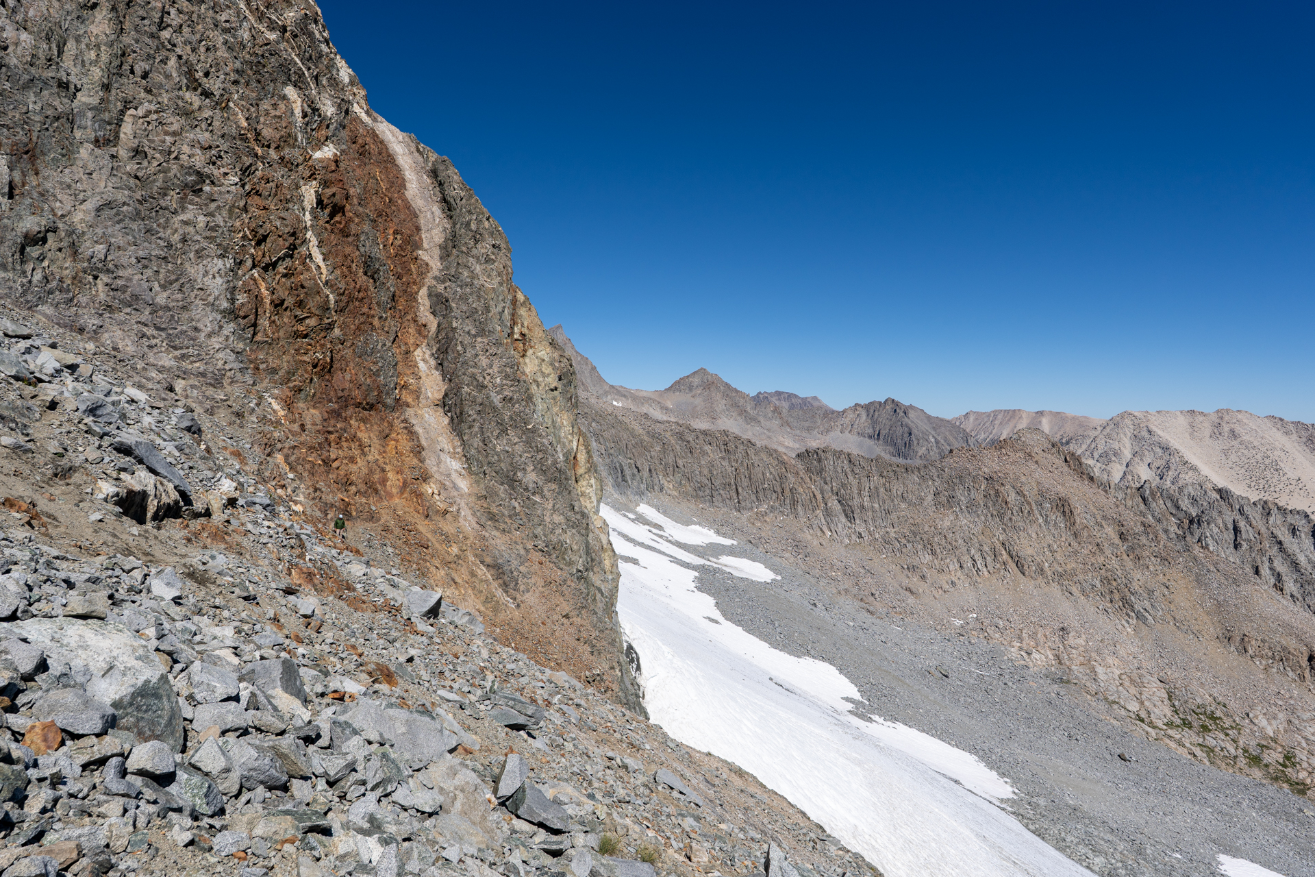
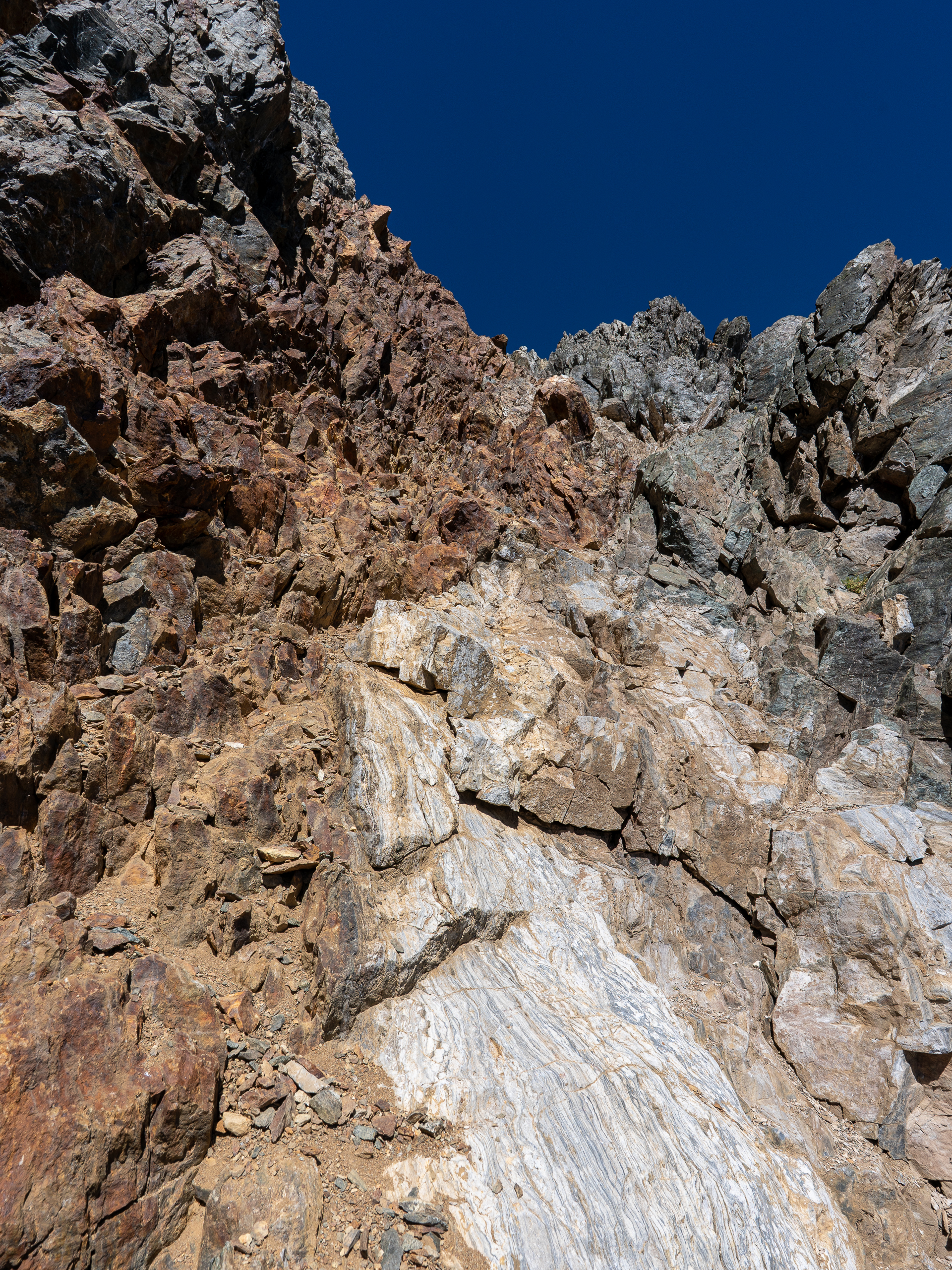
Farther along the spur, a red and white chute becomes apparent. Recent glacial retreat has rendered this feature the sole non-technical route to Middle Palisade from the northeast.
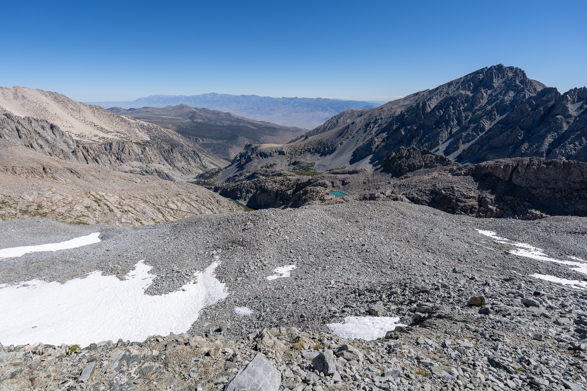
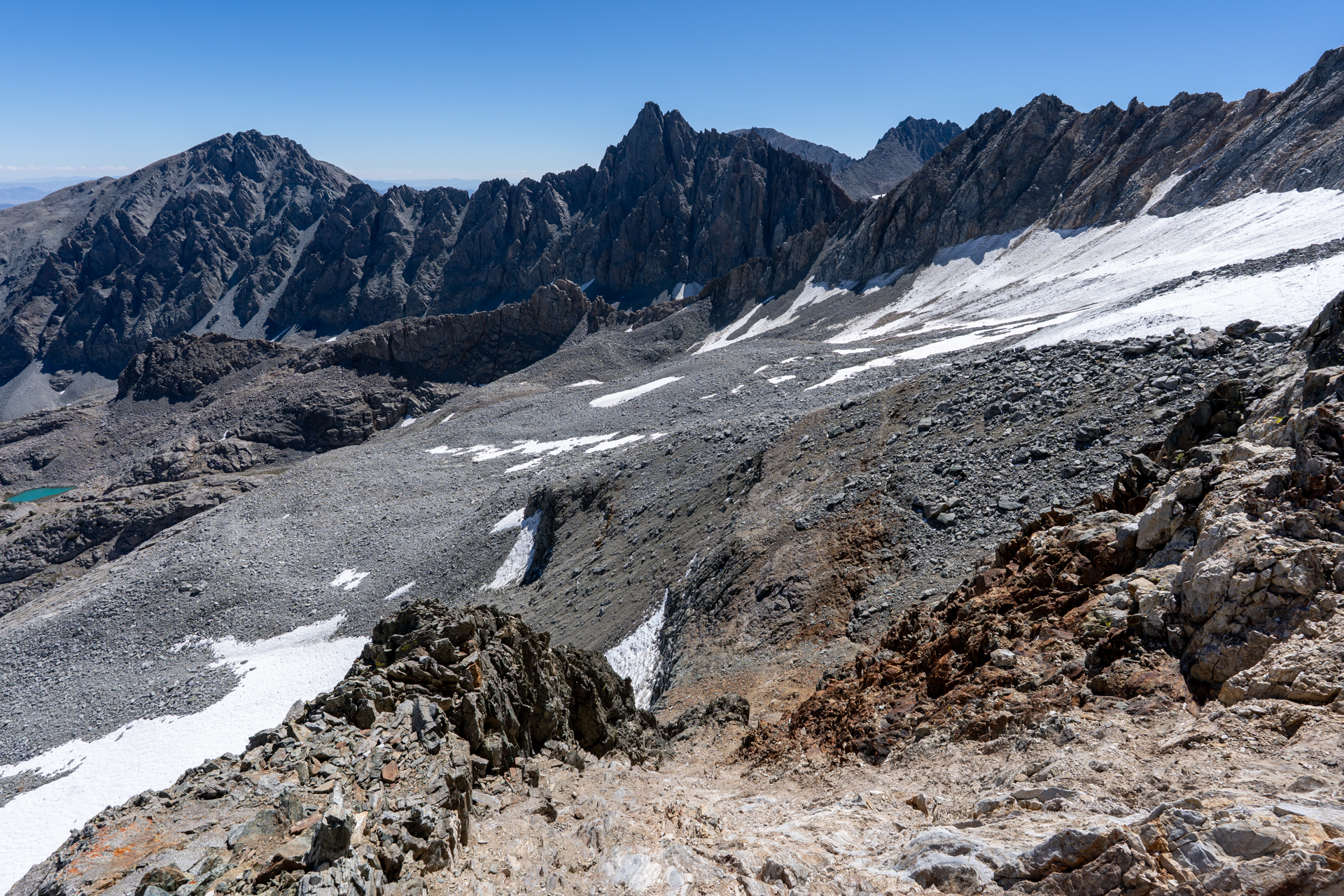
View back down the moraine.
Approaching the base of the chute.
Inside the chute. Stick to the grayish rock to the climber's right.
View back from the top of the chute.
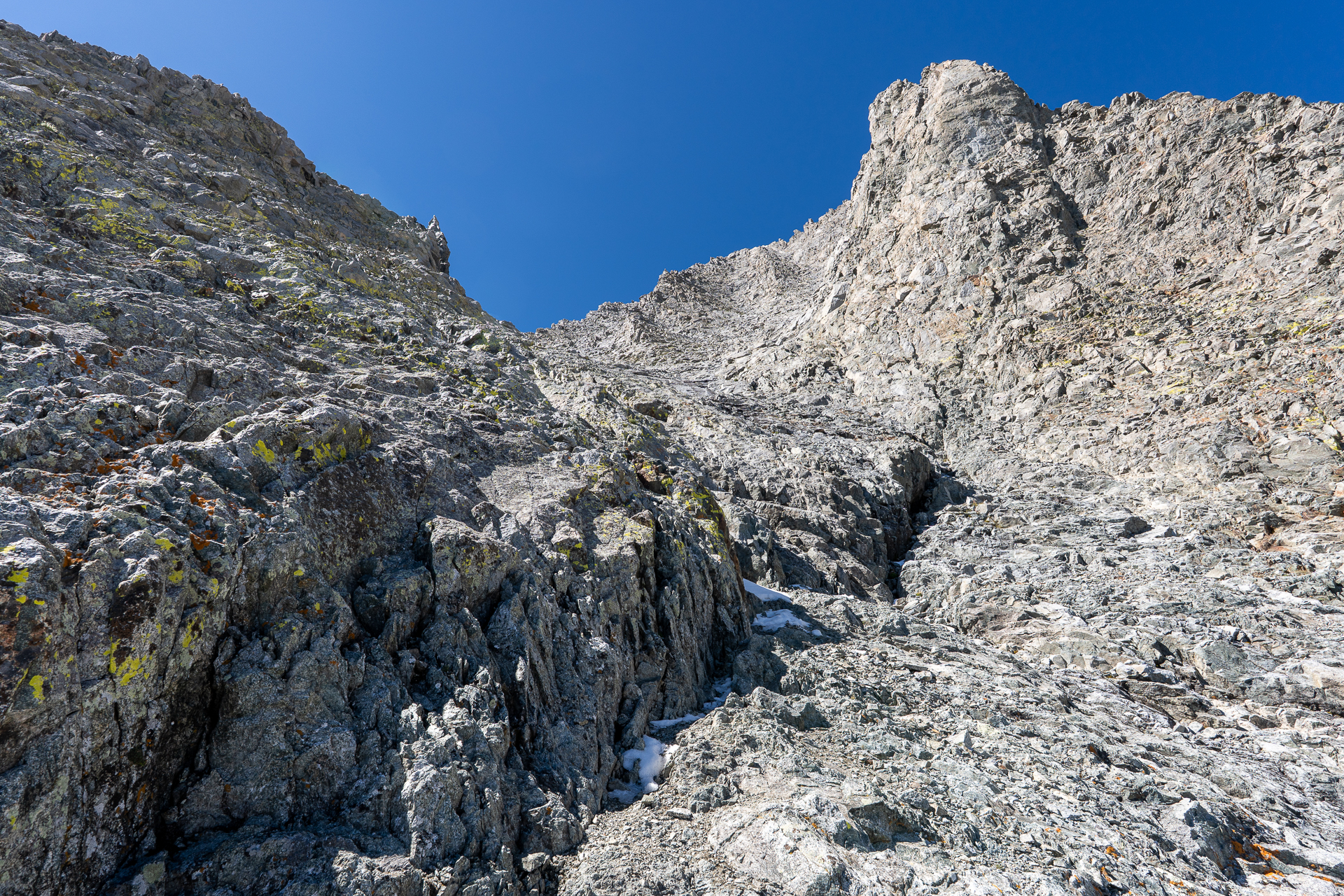
Following a crack at the base of the northeast face.
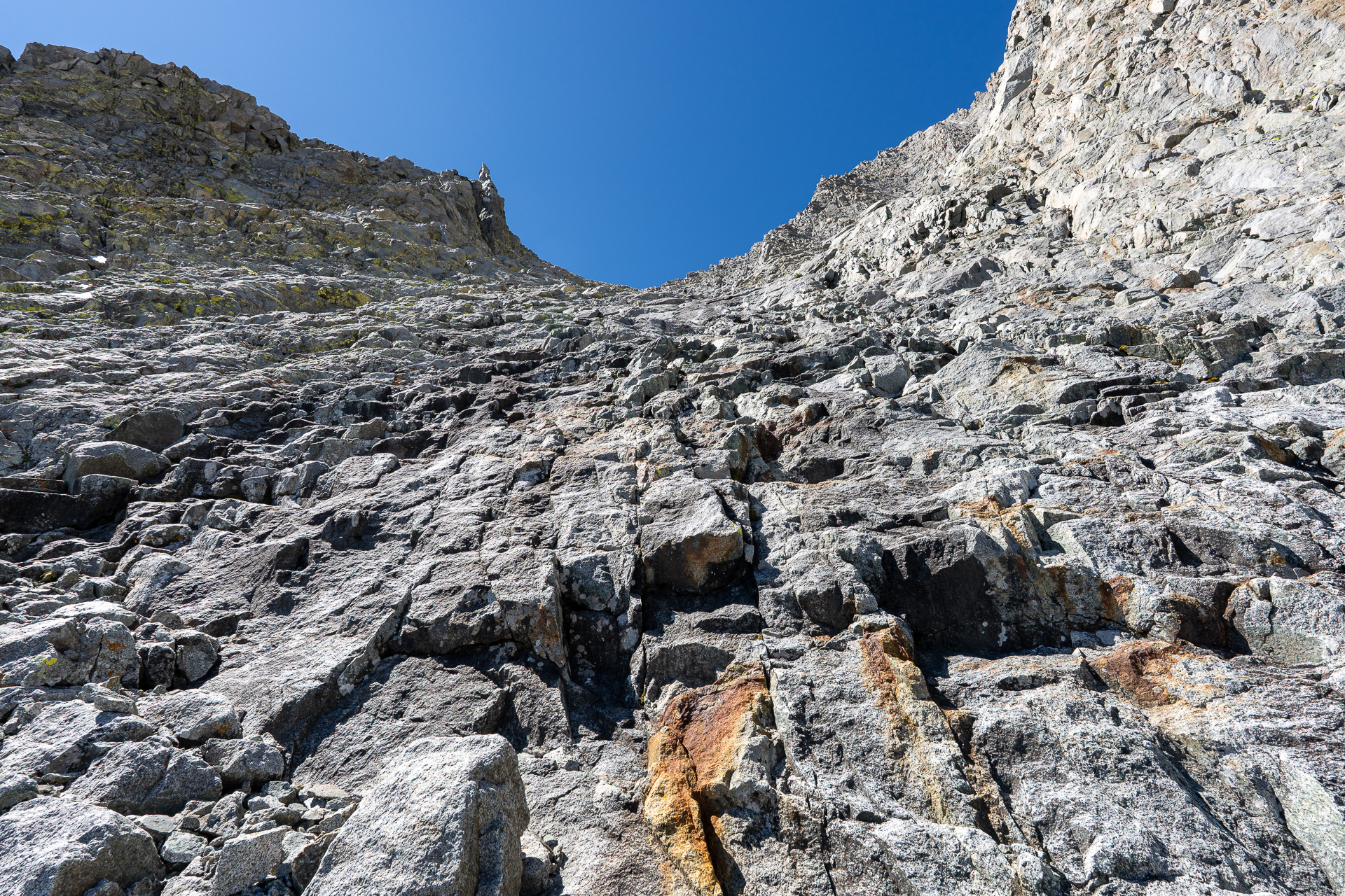
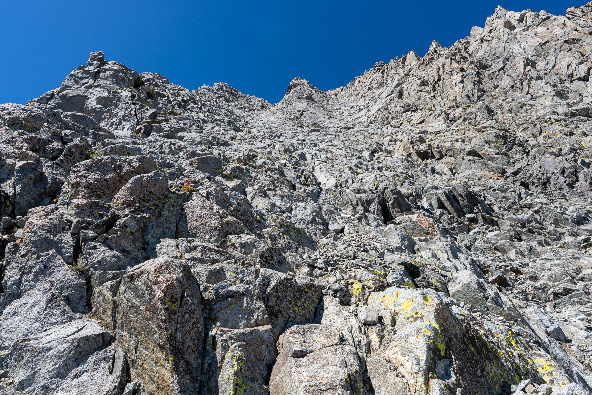
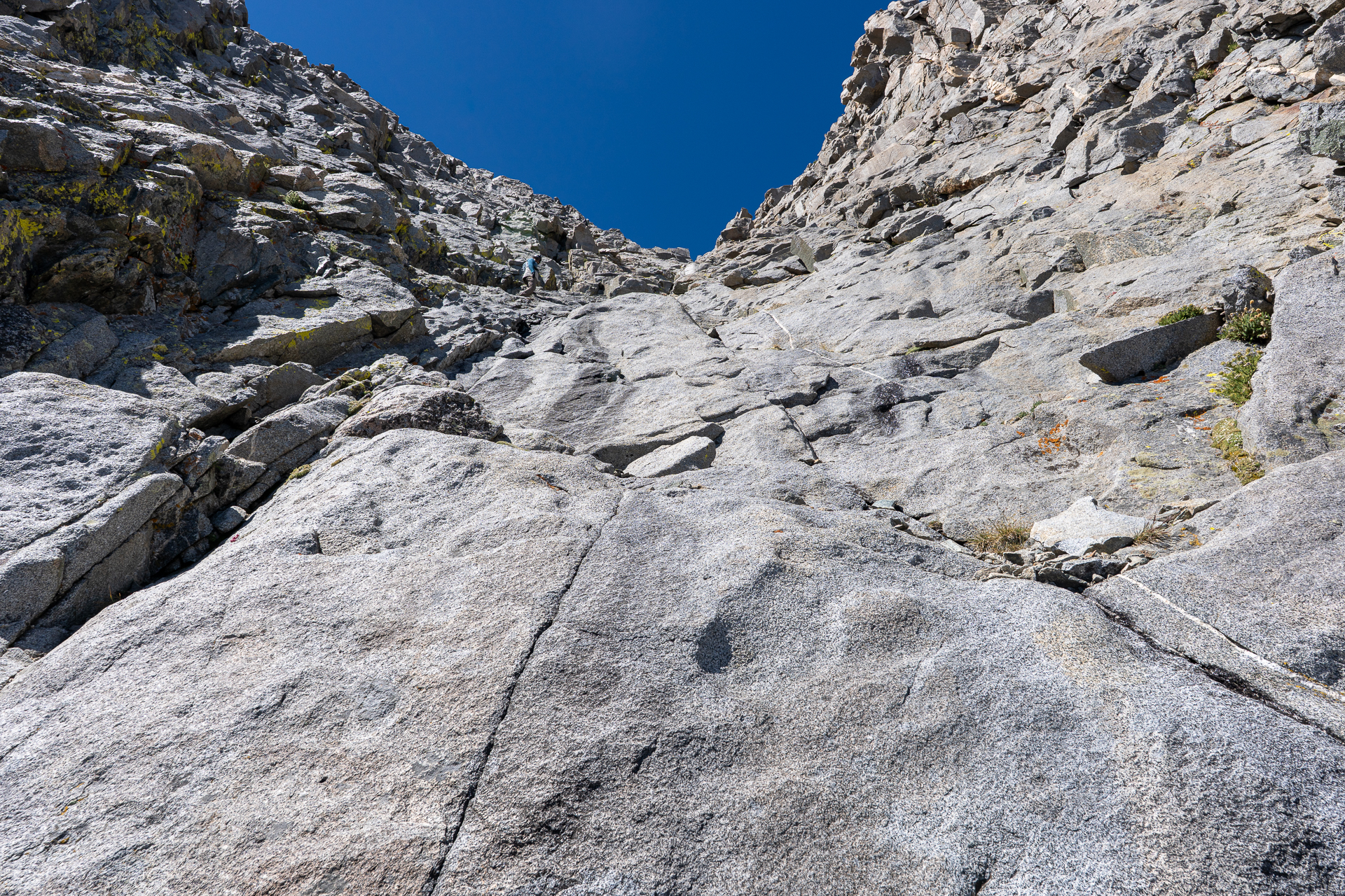
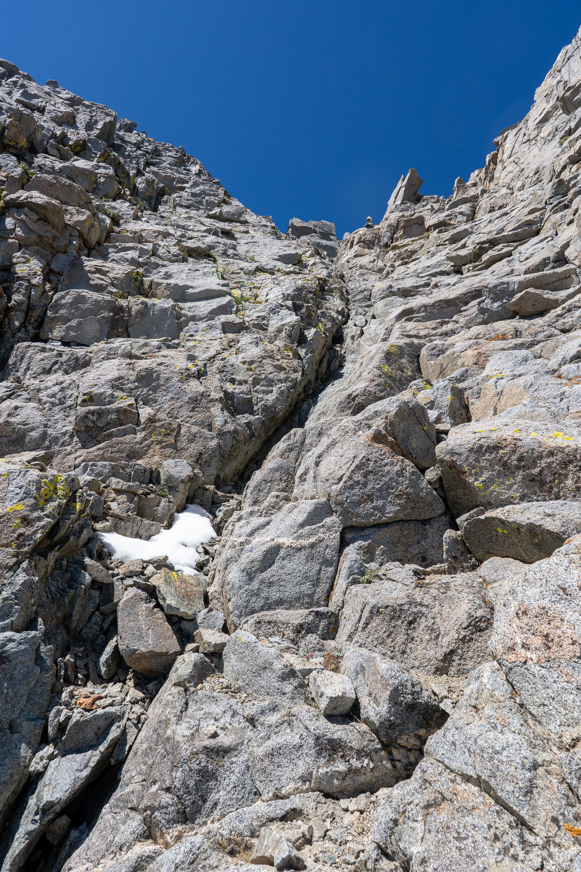
The grade steepens the final 1,000 vertical feet to the crest. Class 3.
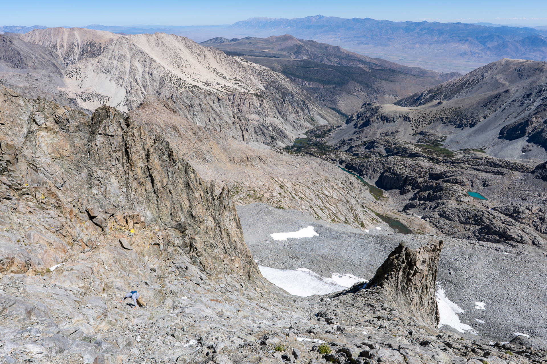
View back. On the descent, stay to the left of the gendarme, shown here on the bottom-right.
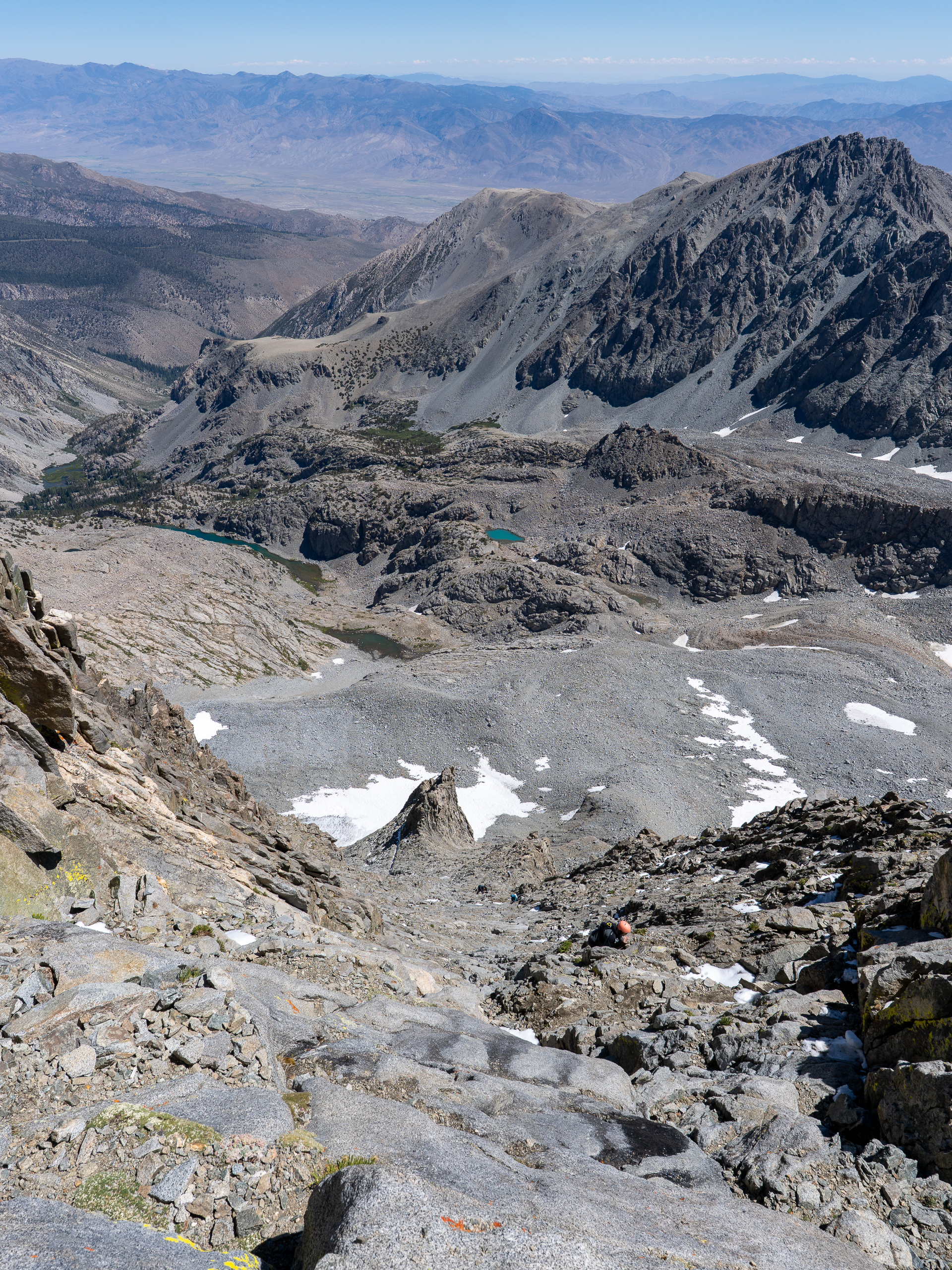
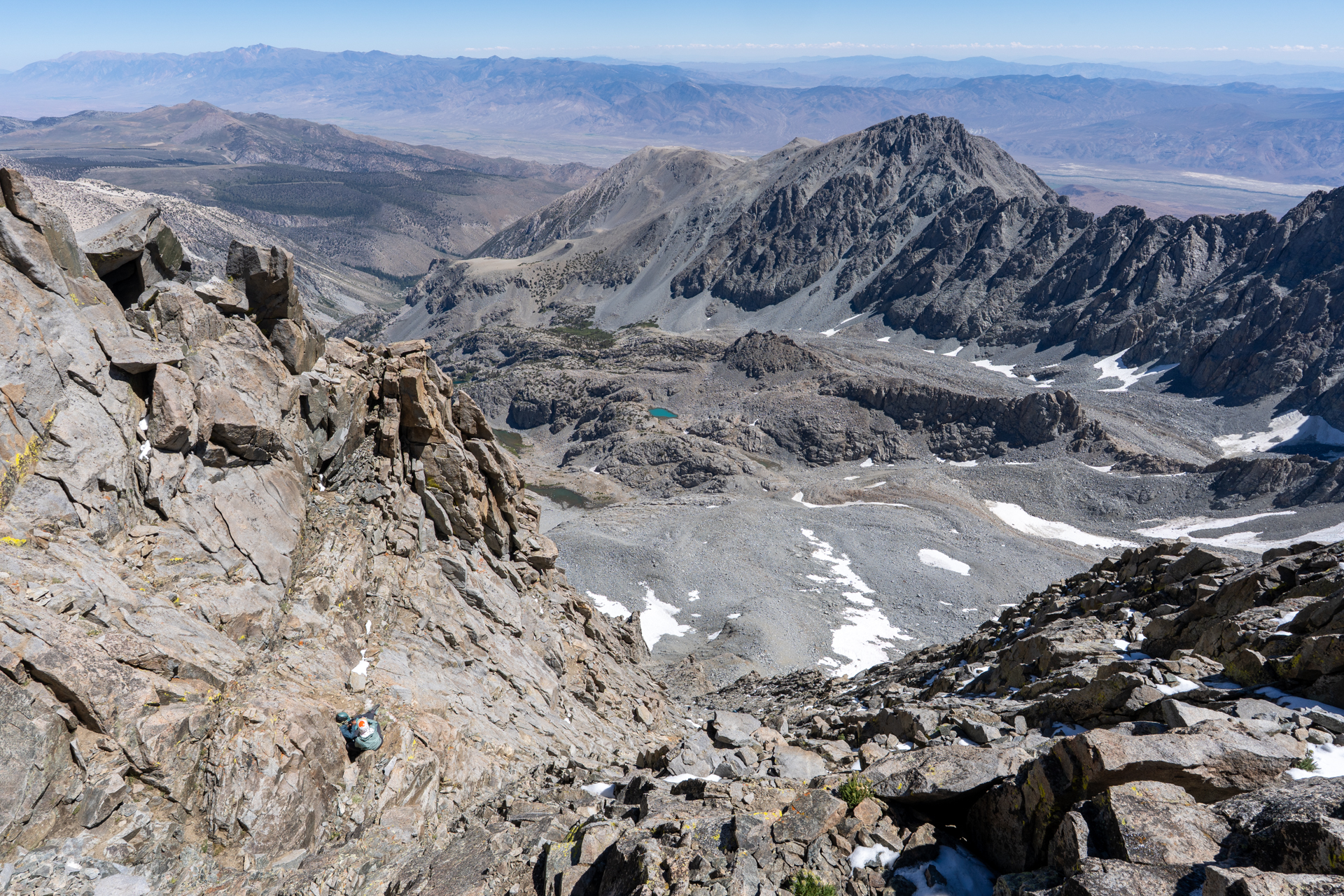
View back.
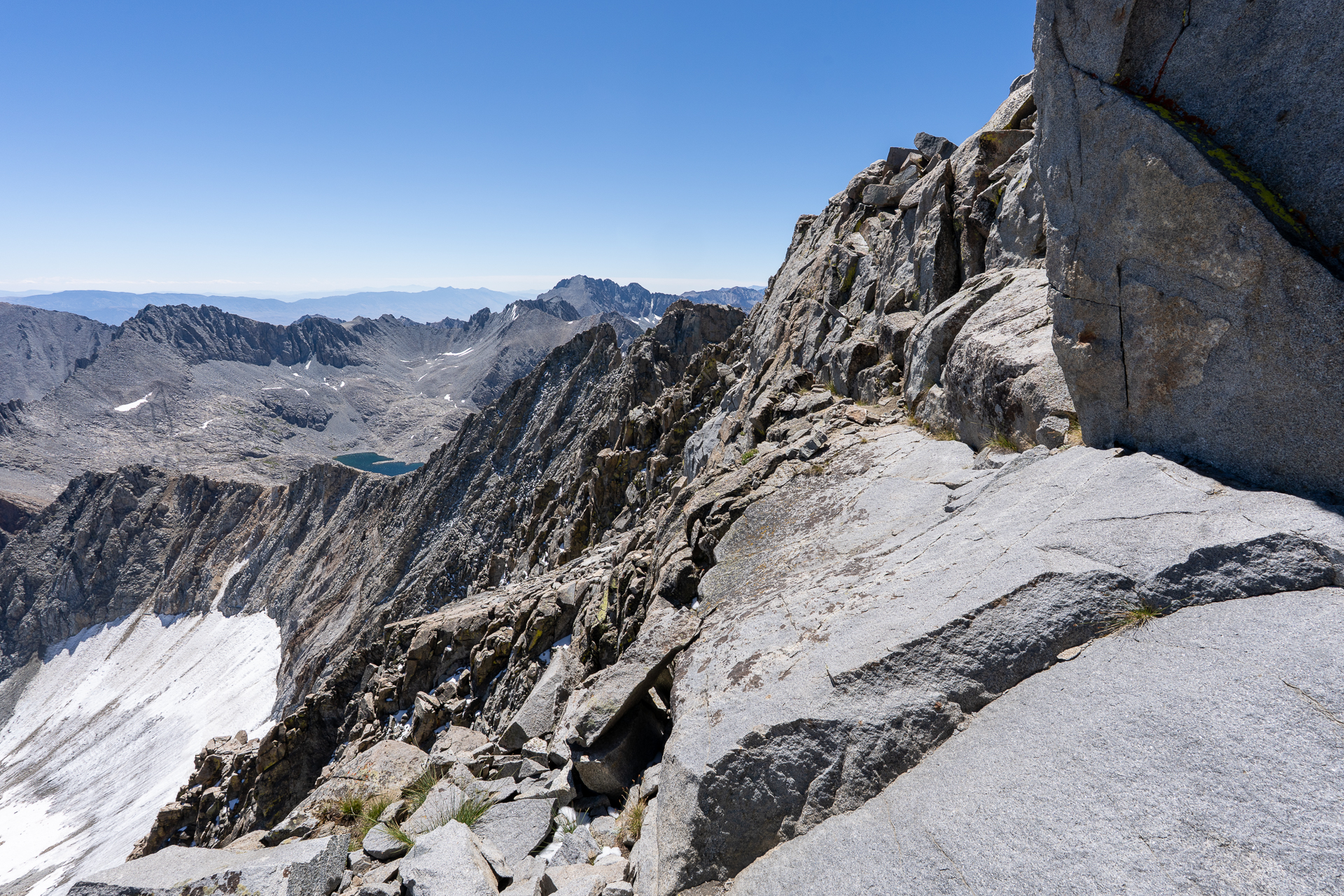
Large slabs near the crest.
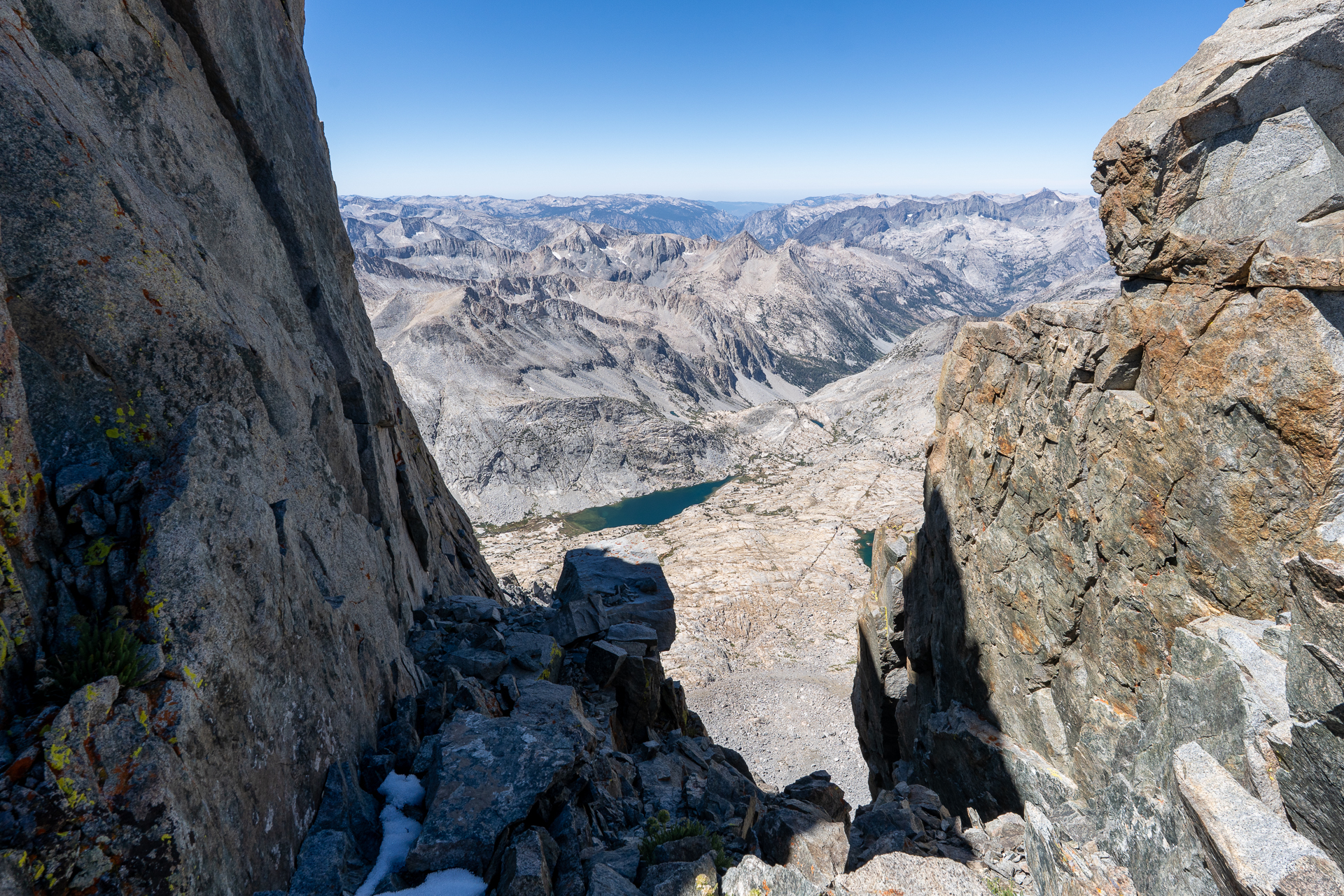
View southwest through a notch in the crest.
View back from the notch.
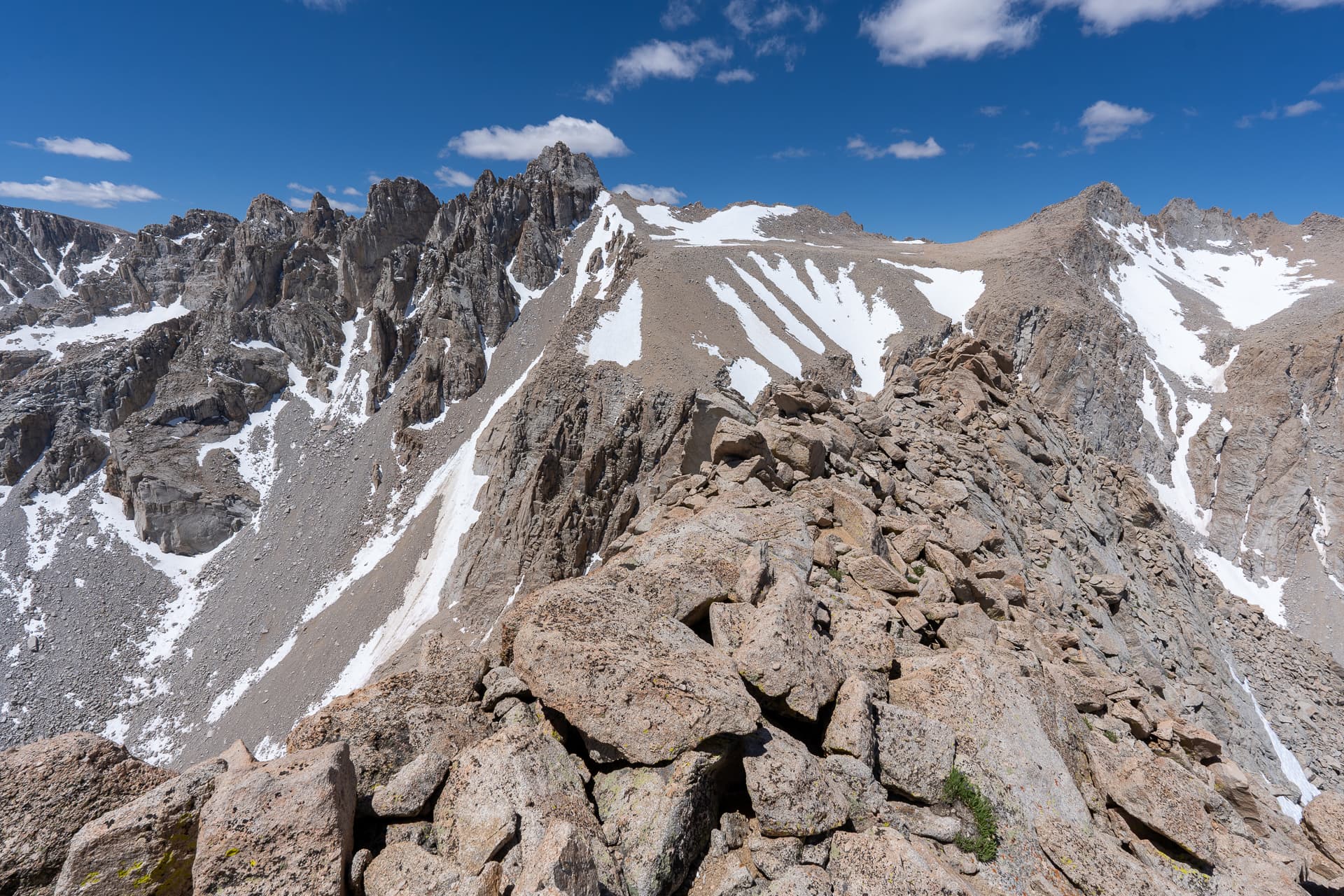
Briefly traversing the northeast side of the ridge.
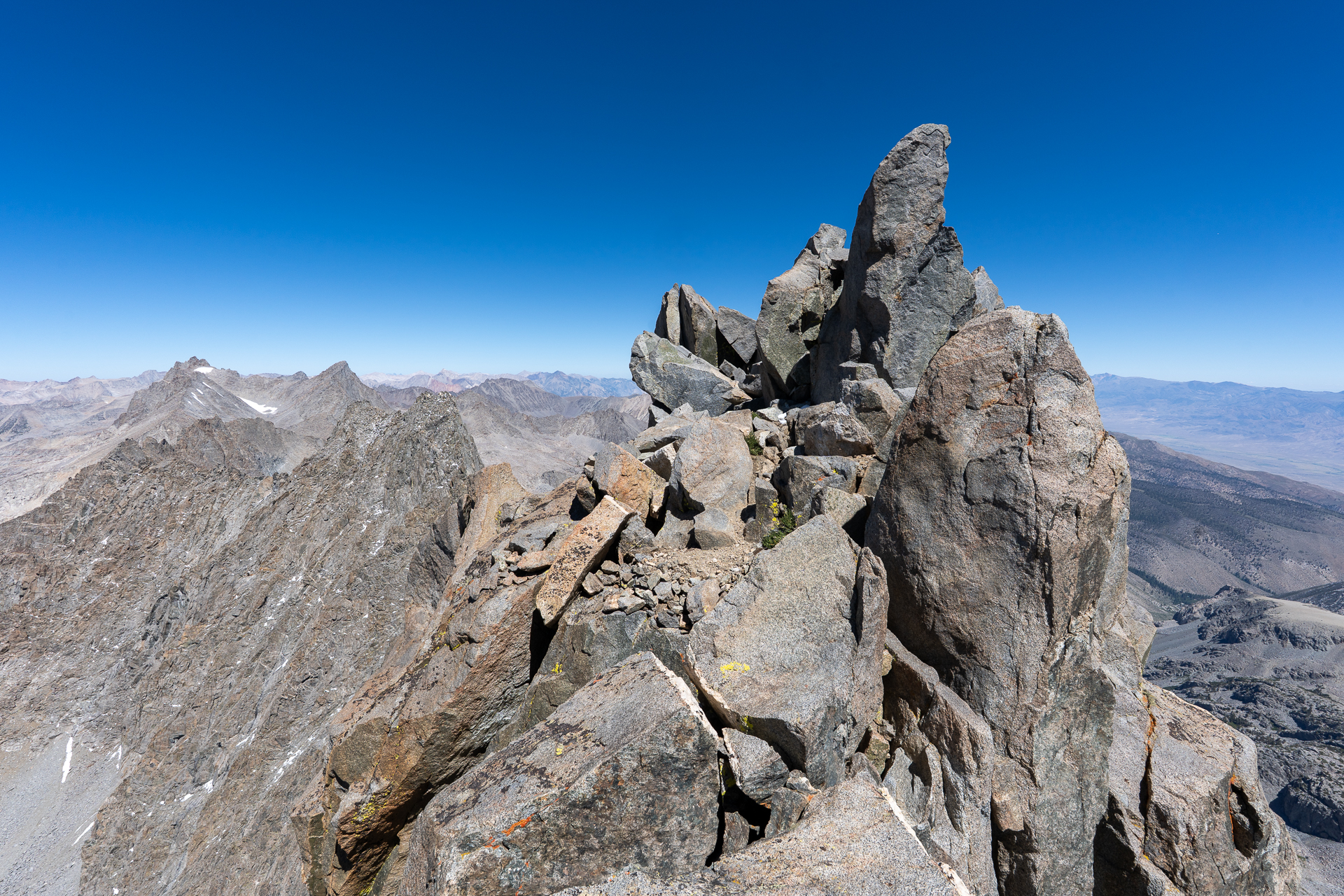
Wrapping around the south side of the summit, ahead.
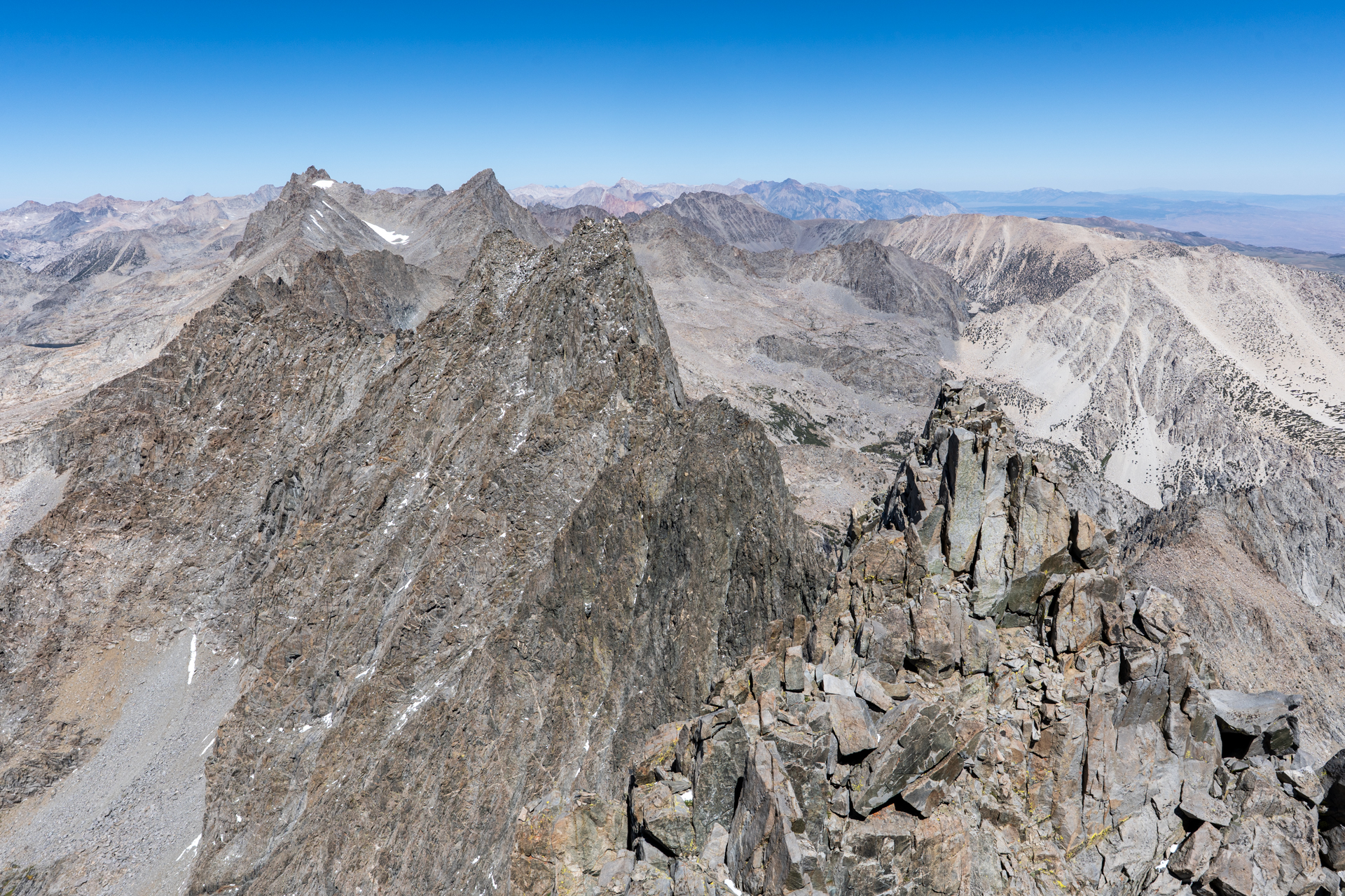
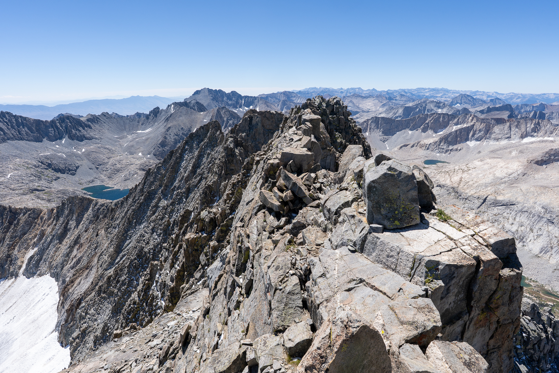
Middle Palisade summit. View northwest toward Norman Clyde Peak.
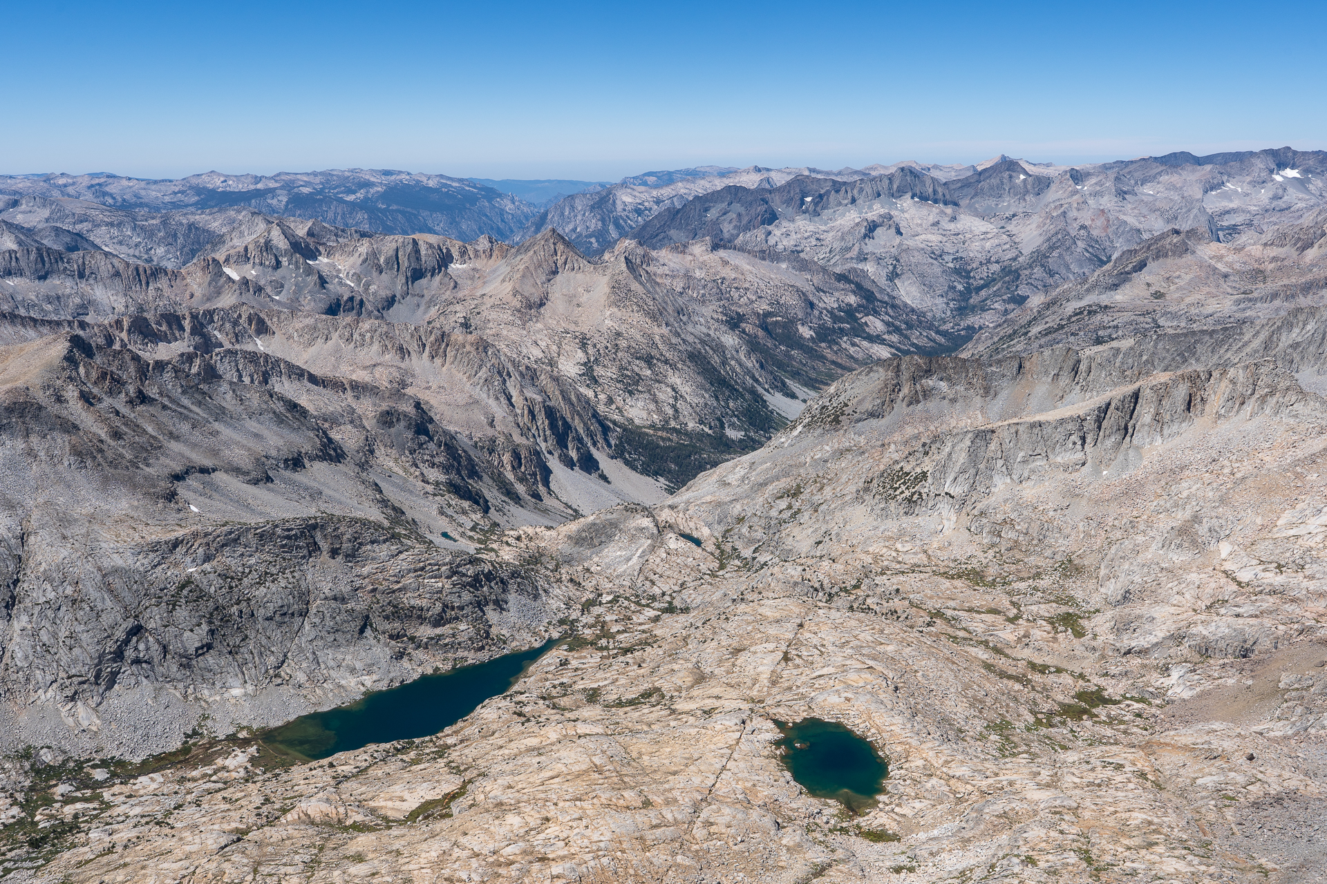
View southwest toward Palisade Lakes and King Canyon National Park.
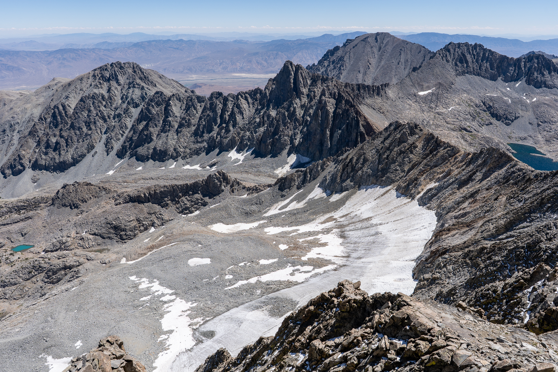
View southeast toward Disappointment Peak, another SPS peak.
View east toward Birch Mountain (right of center).