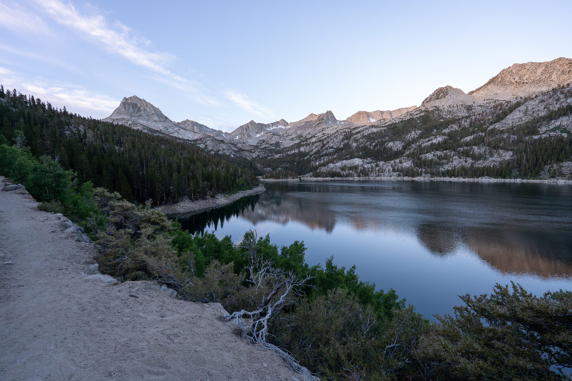
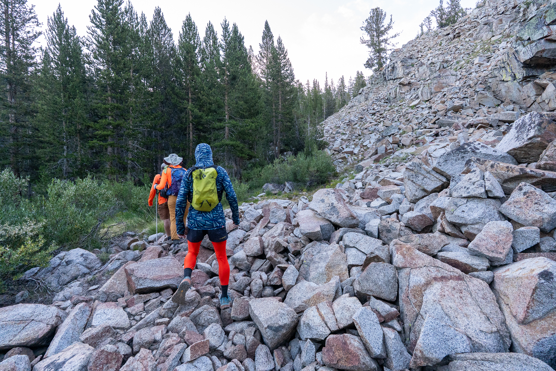
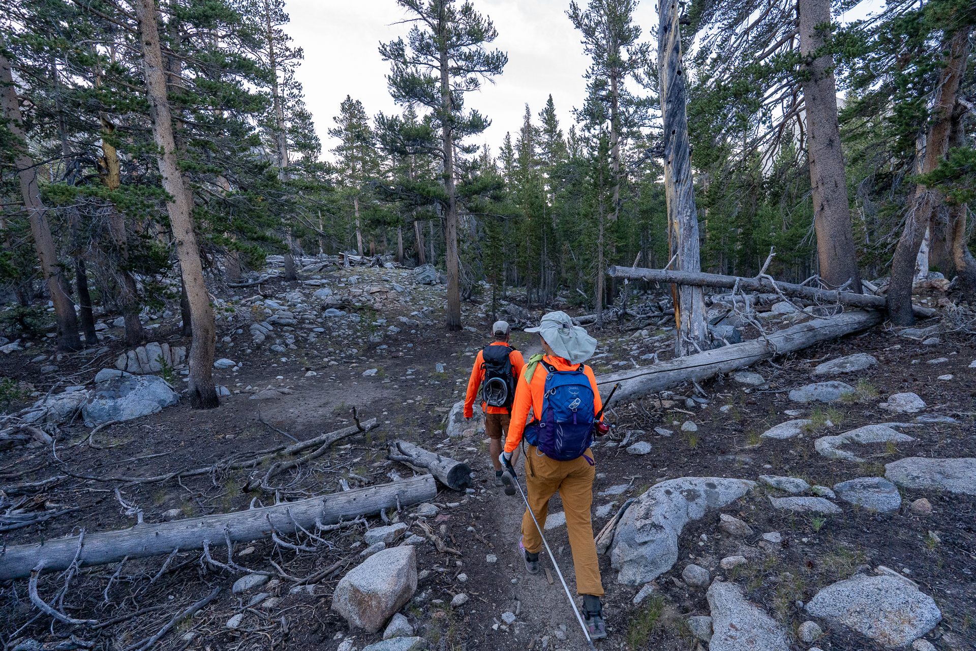
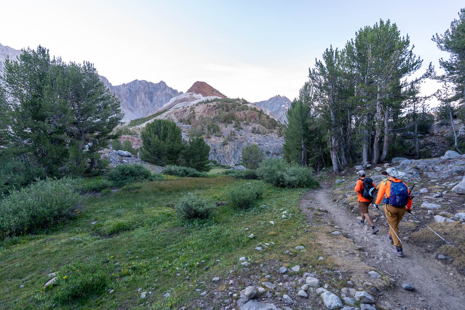
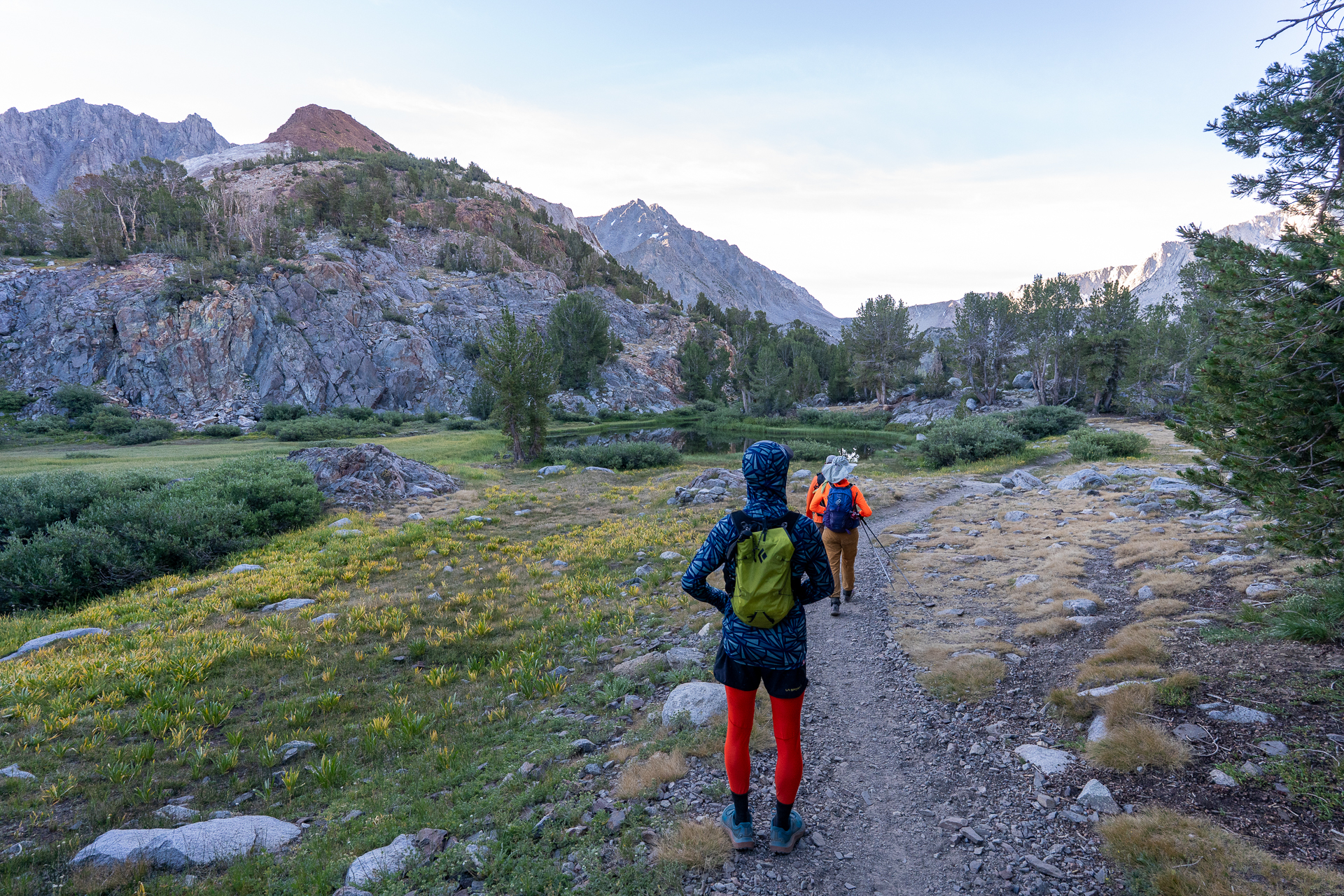
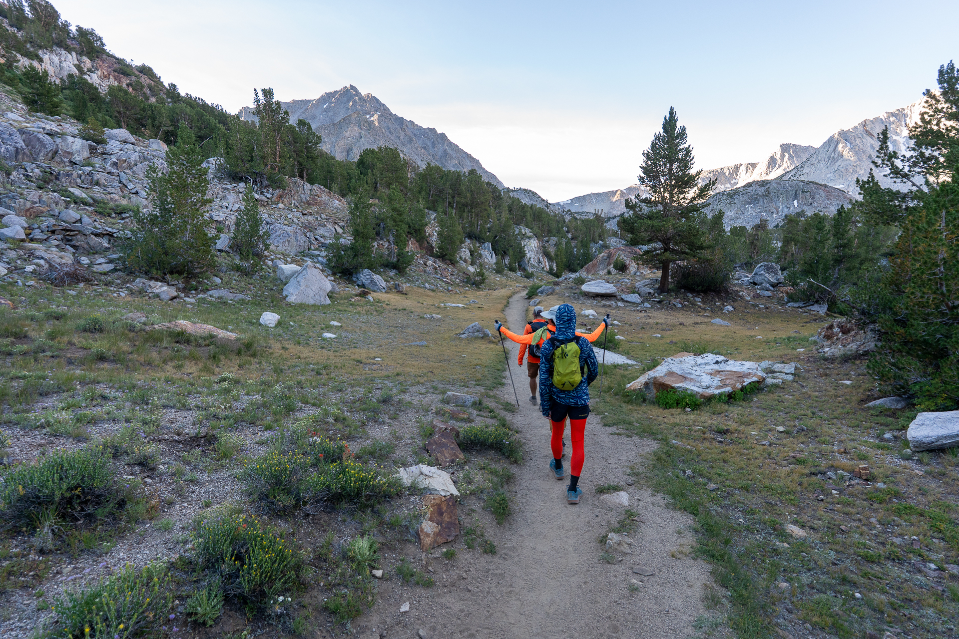
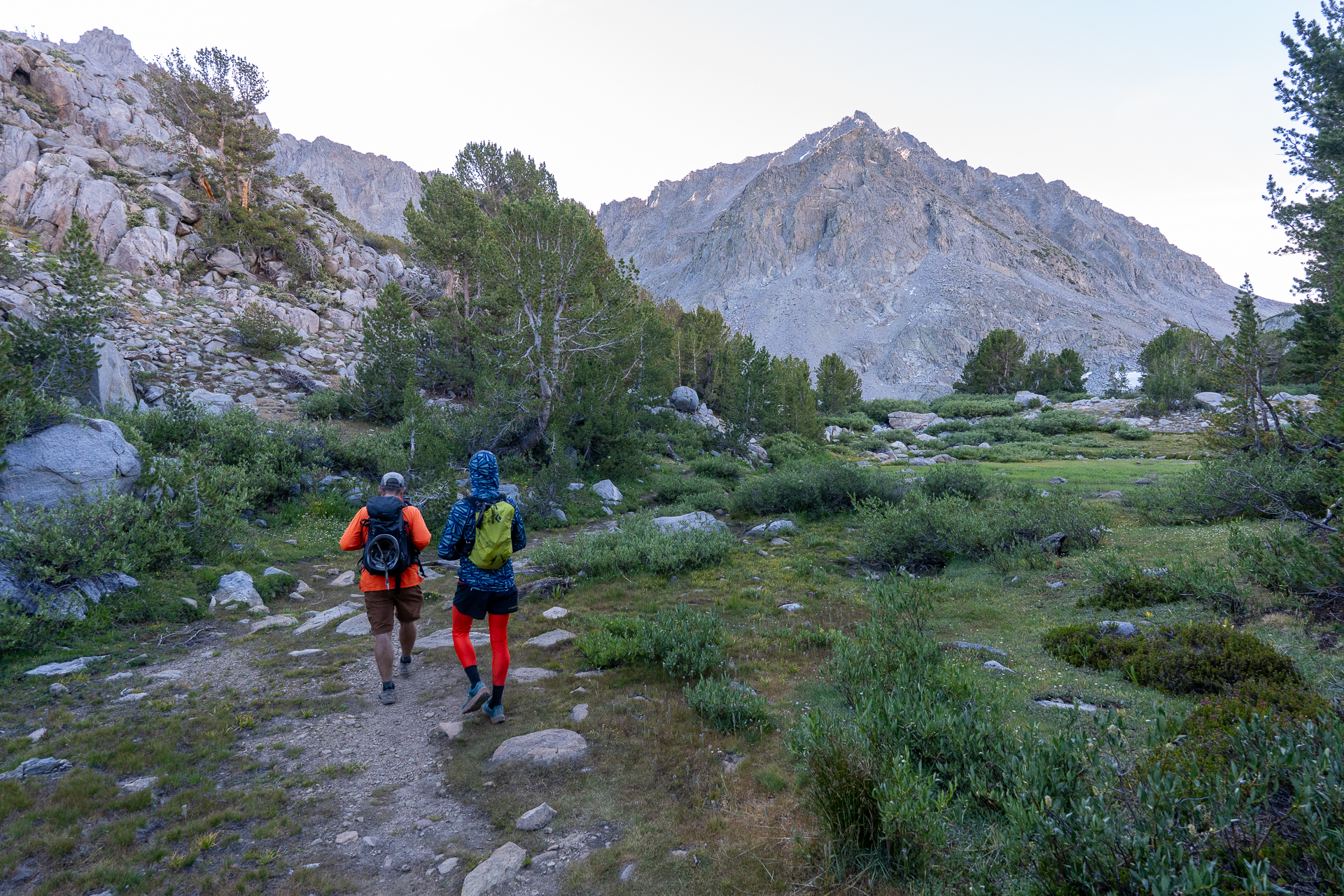
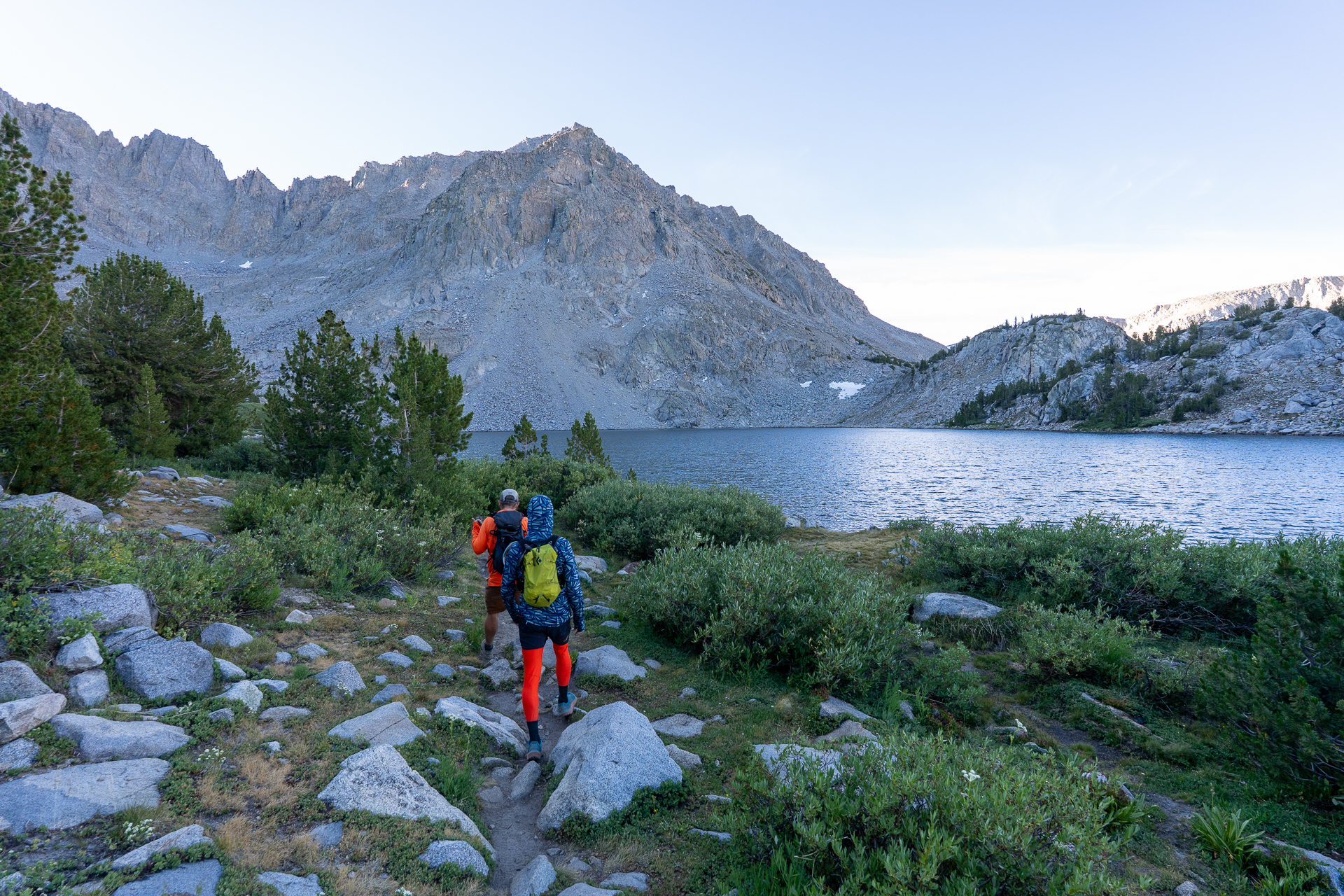
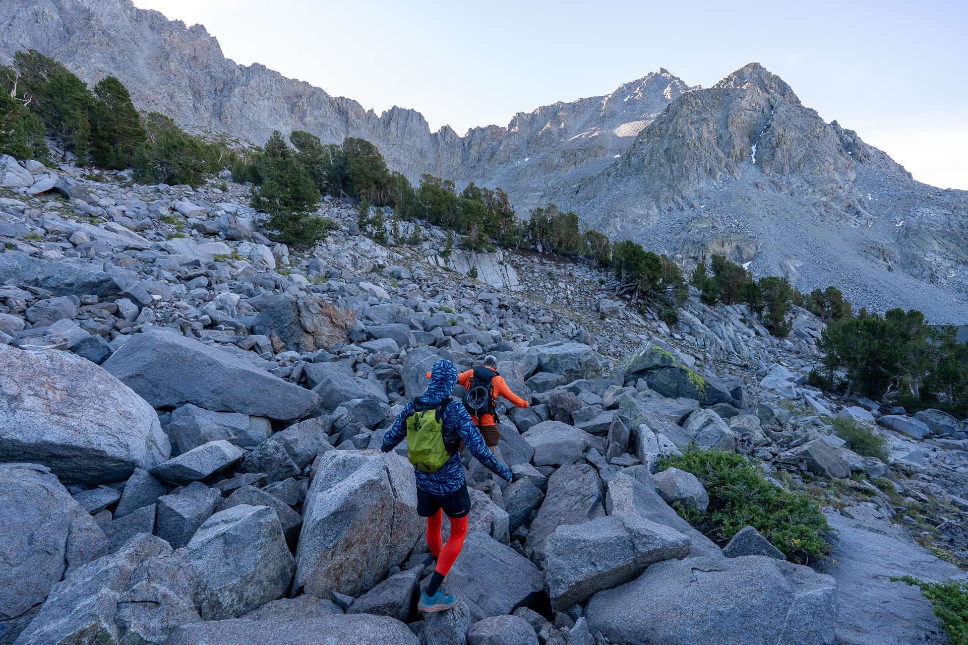
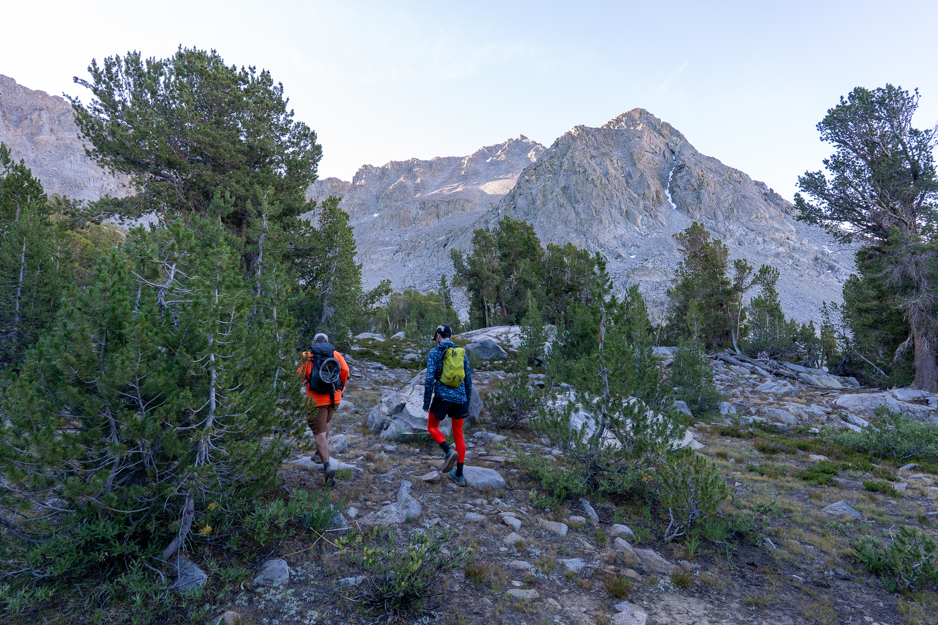
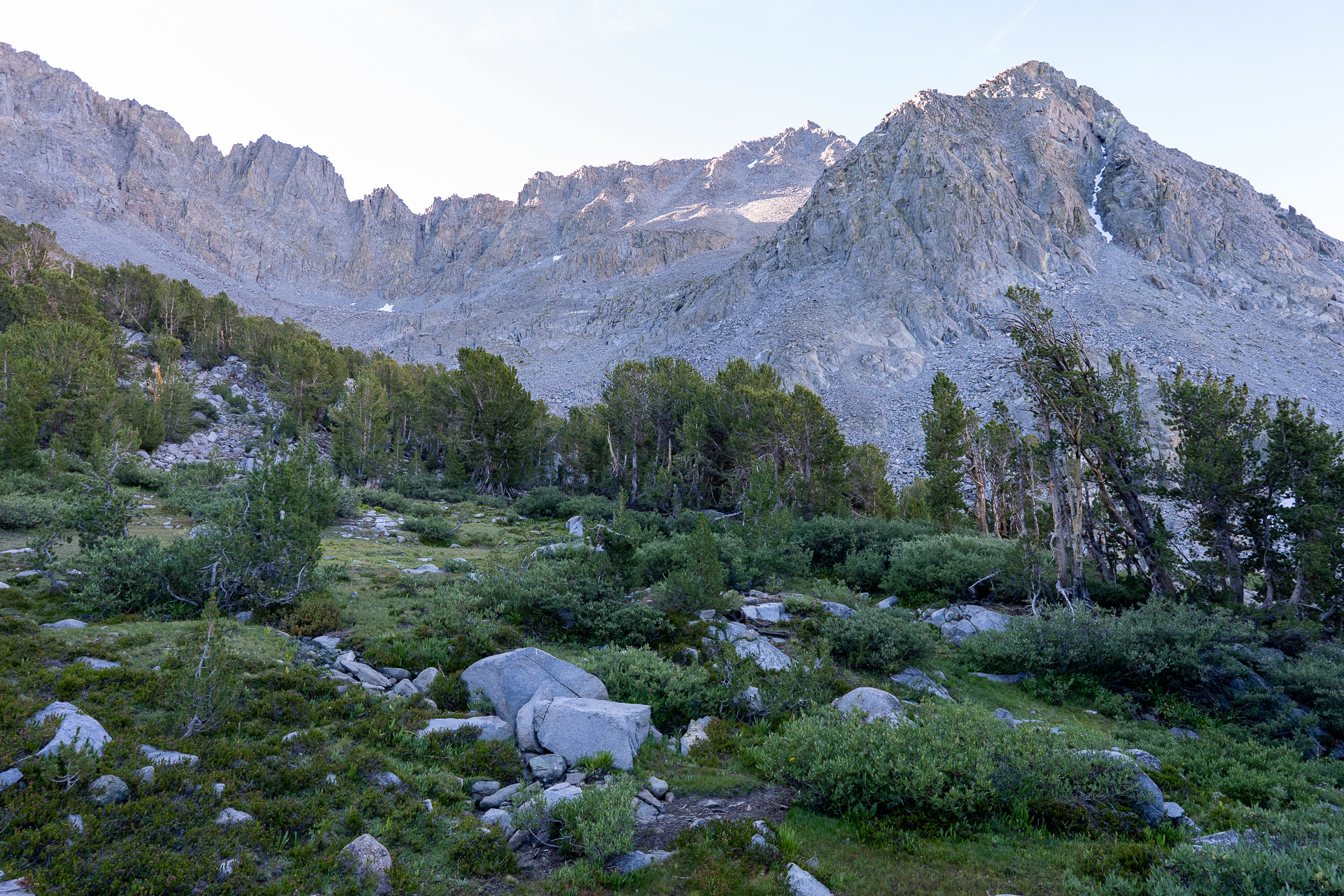
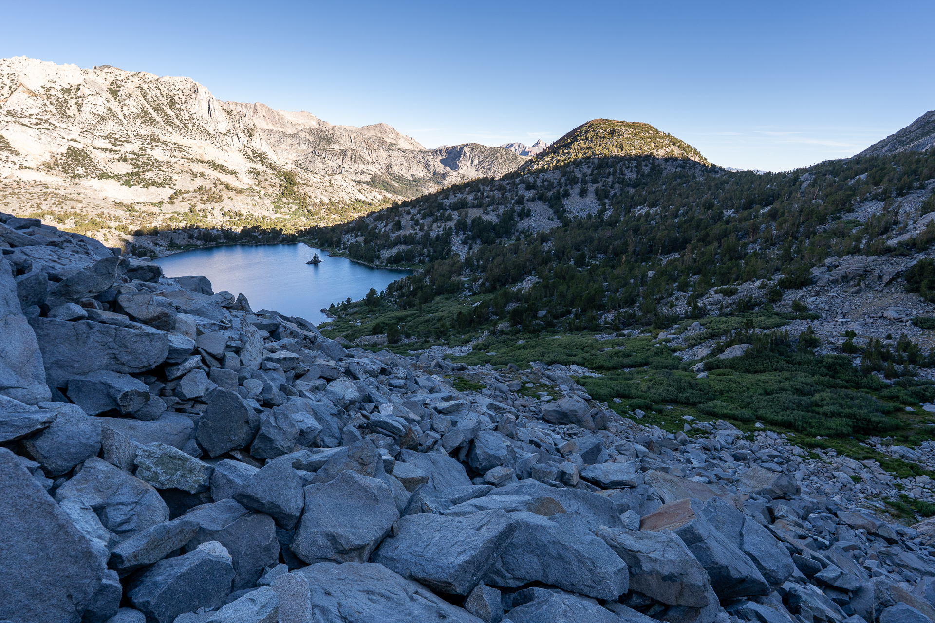
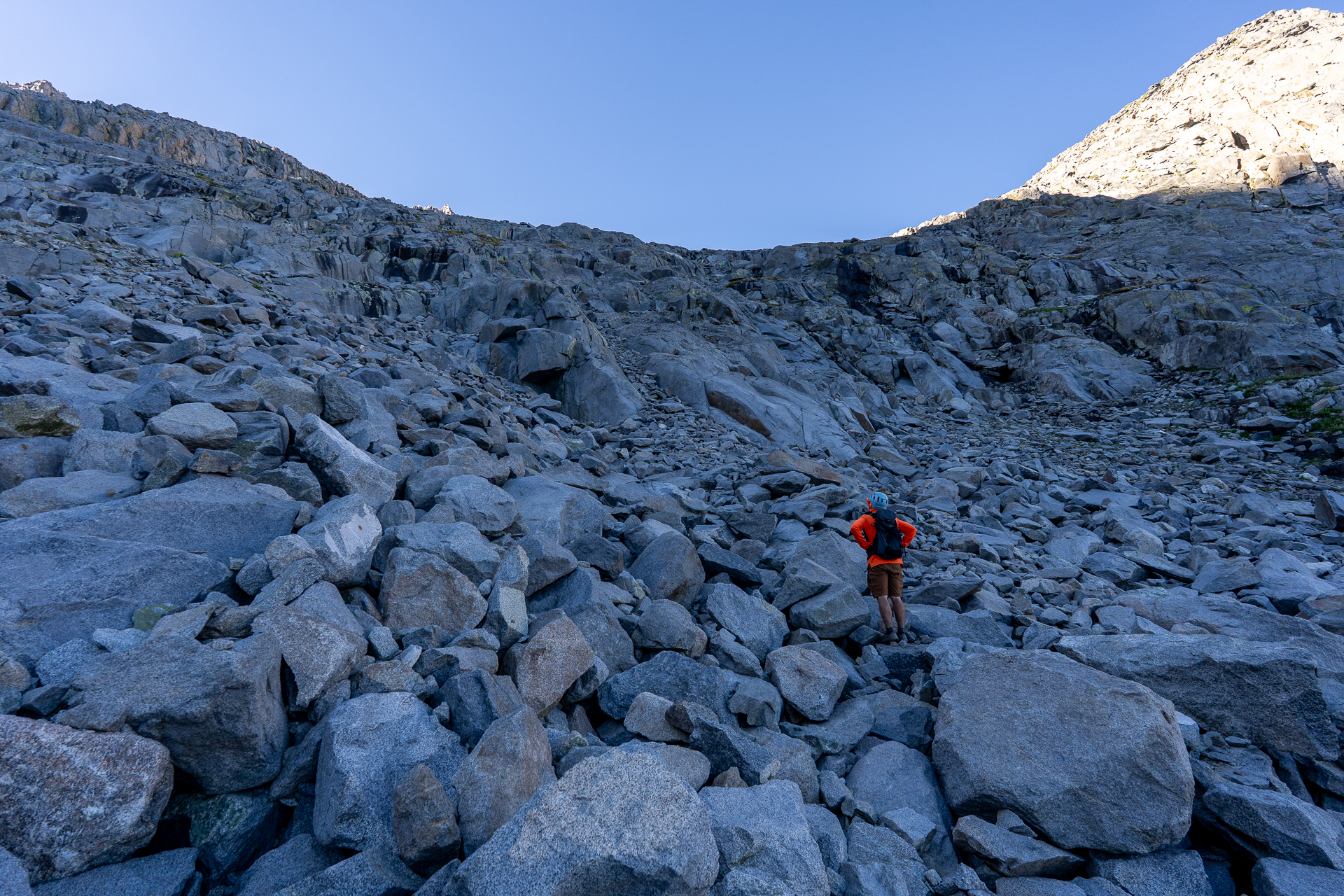
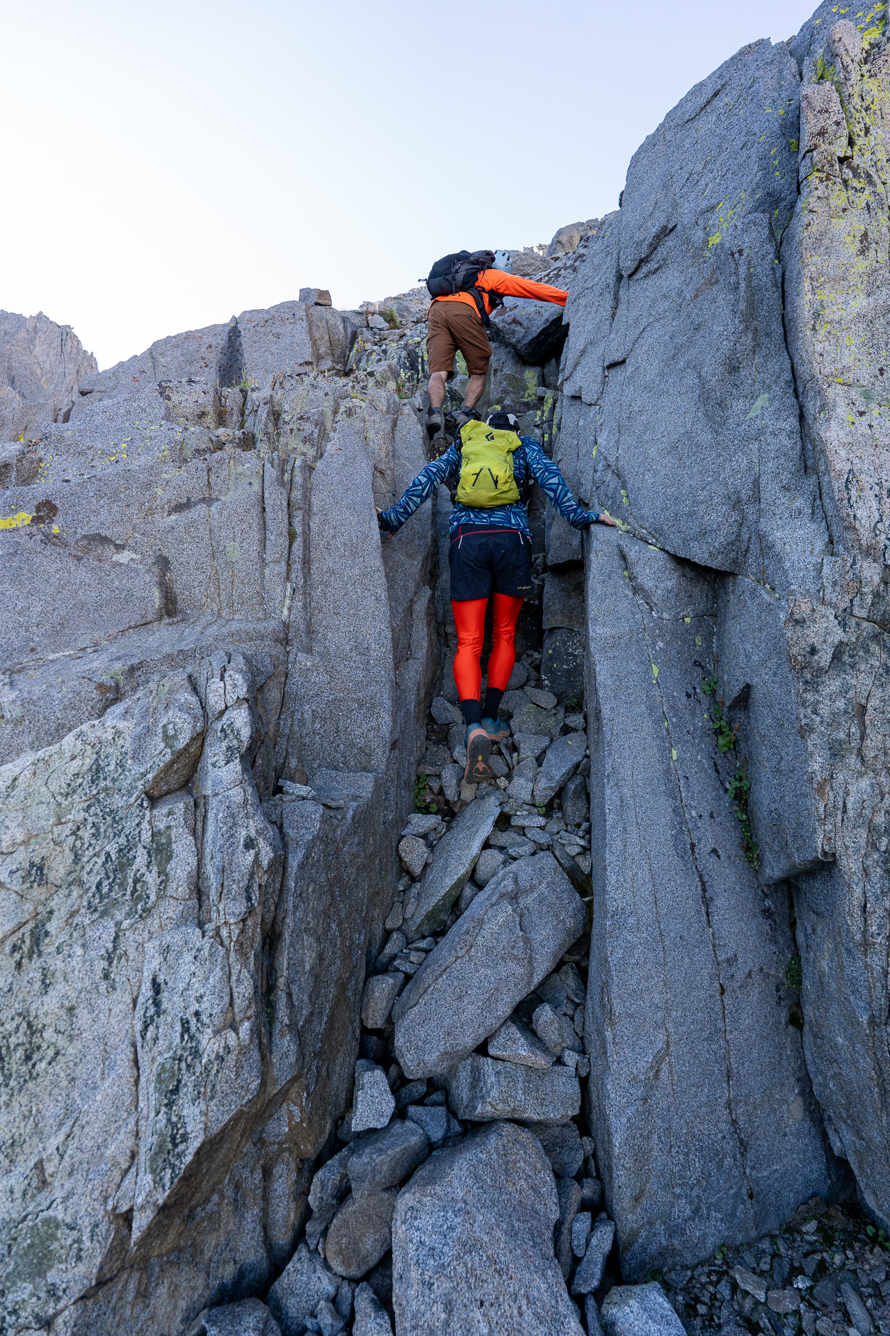
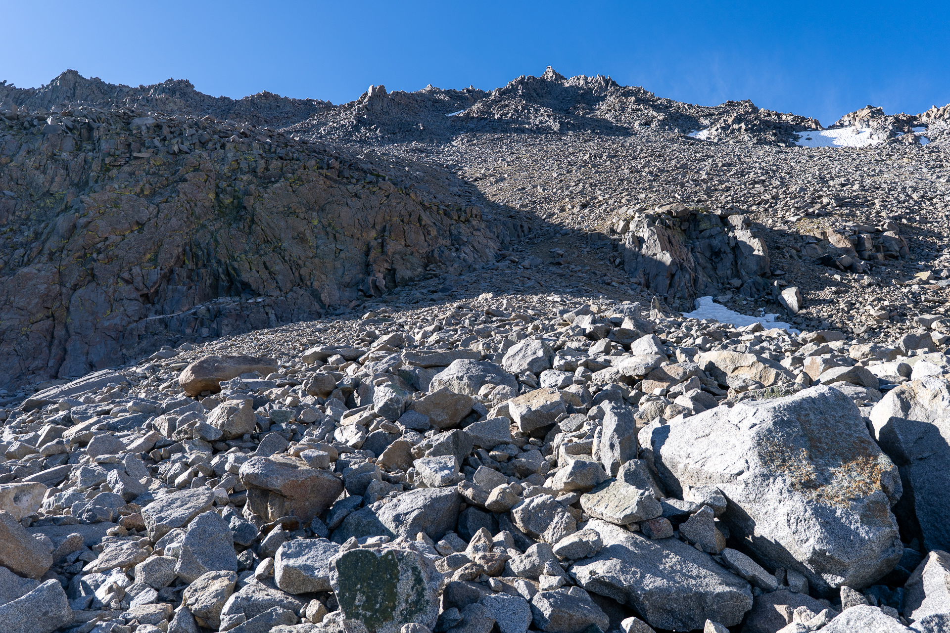
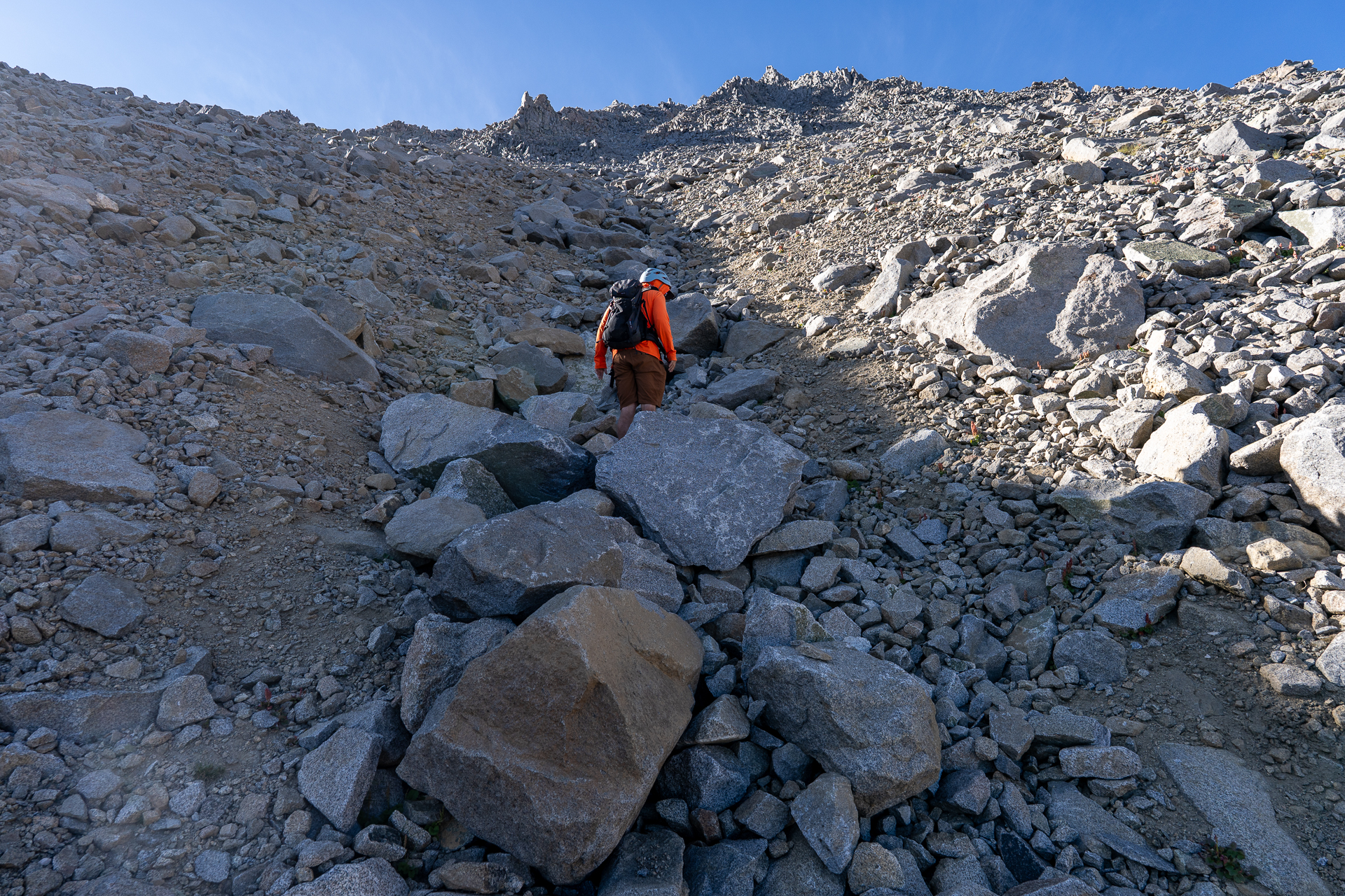
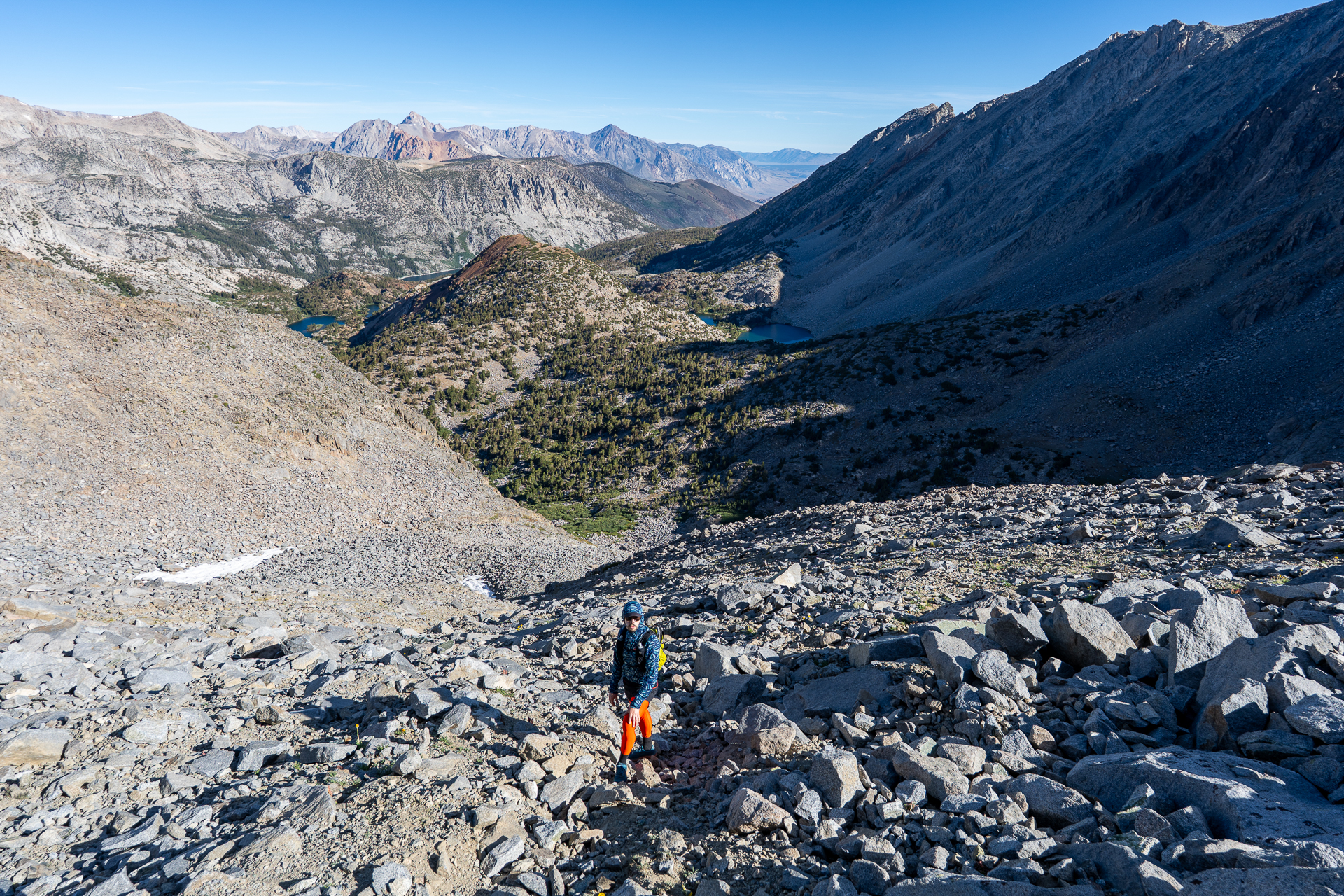
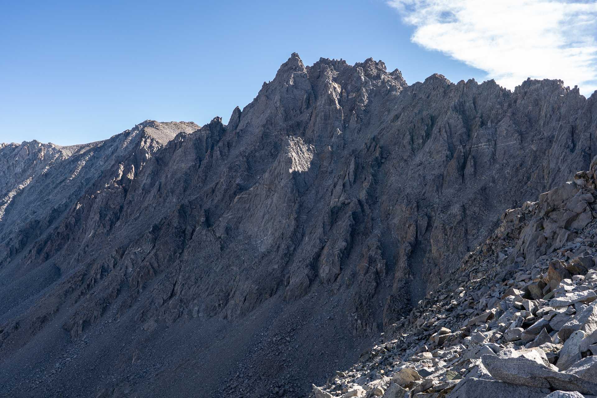
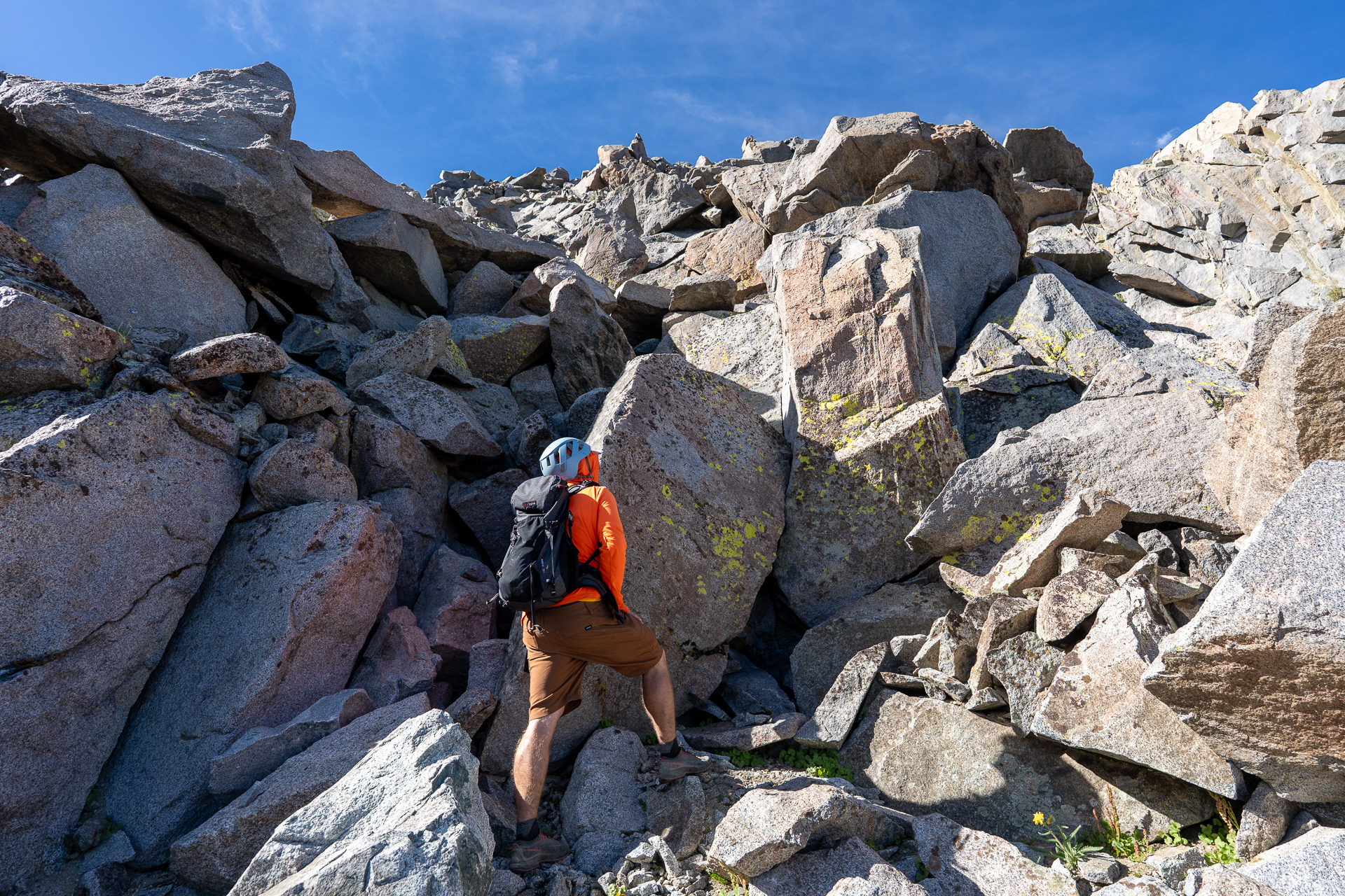
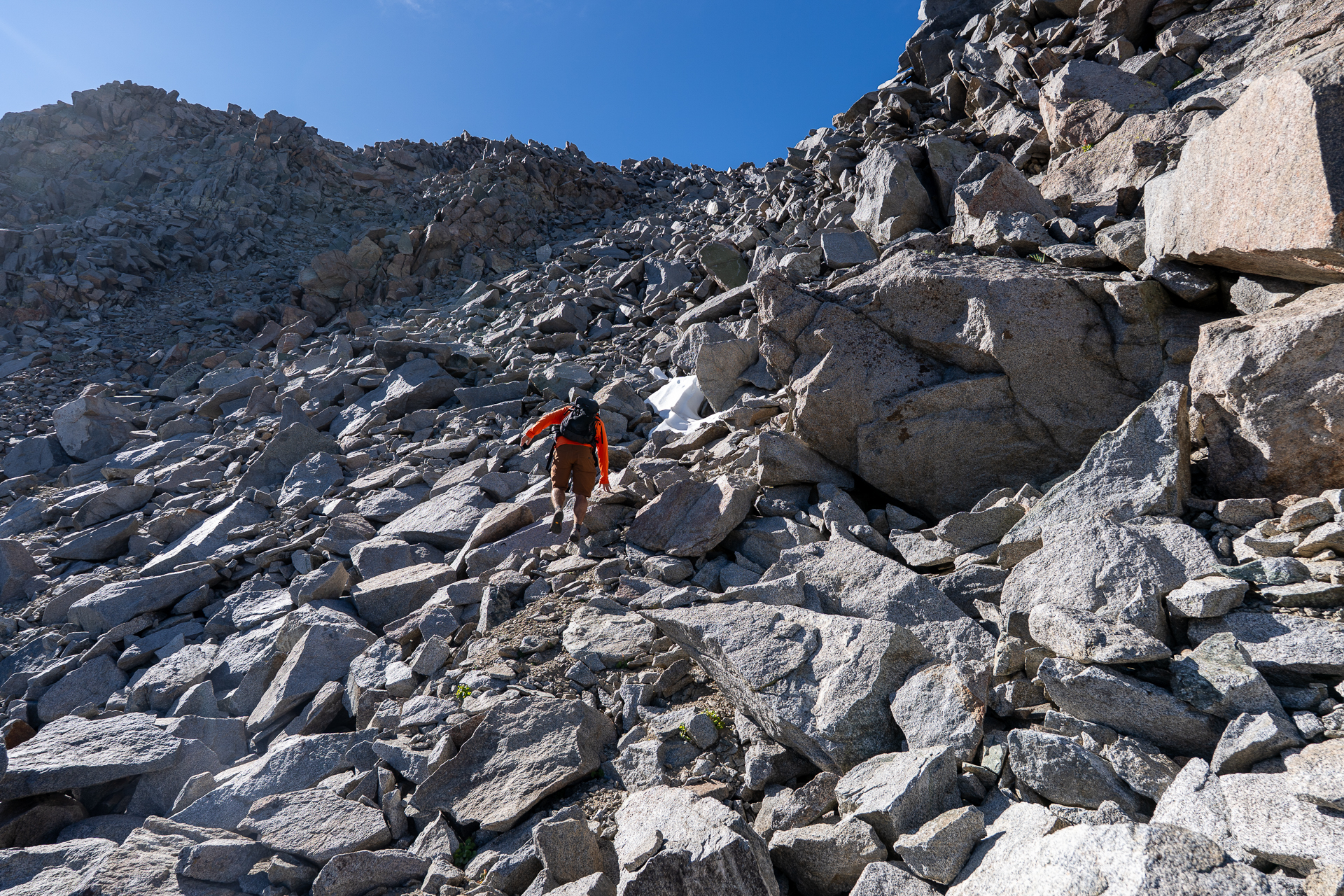
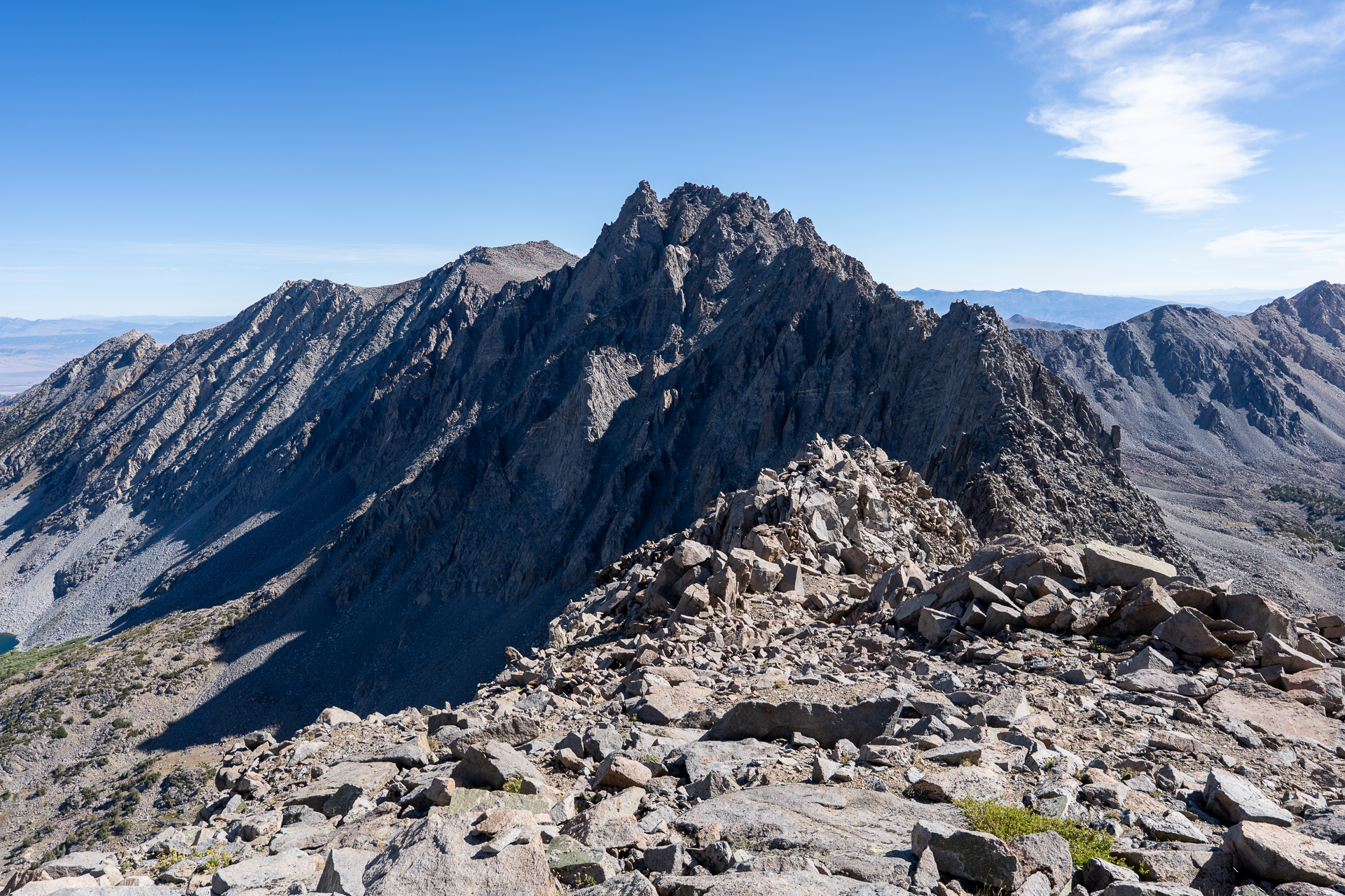
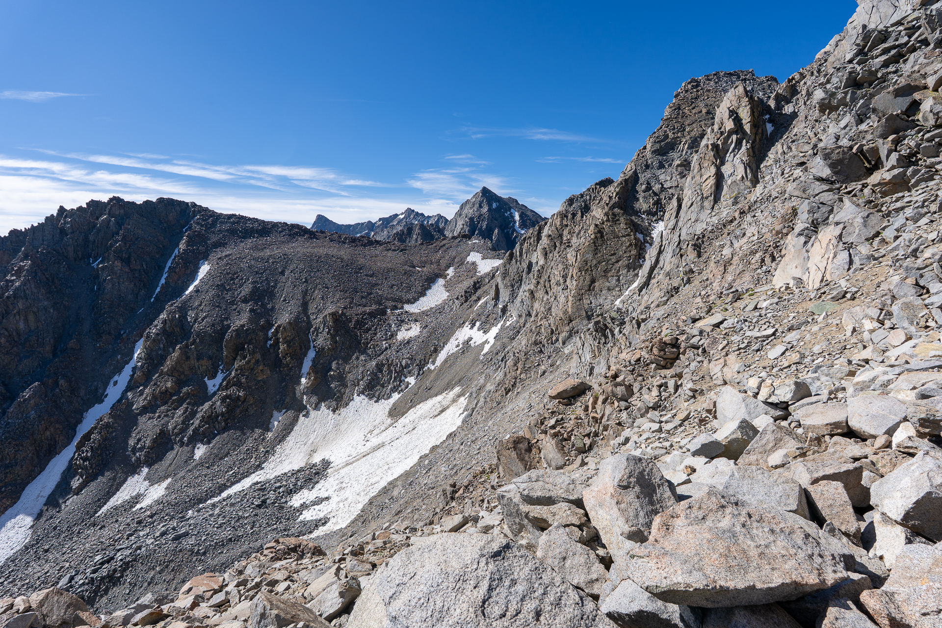
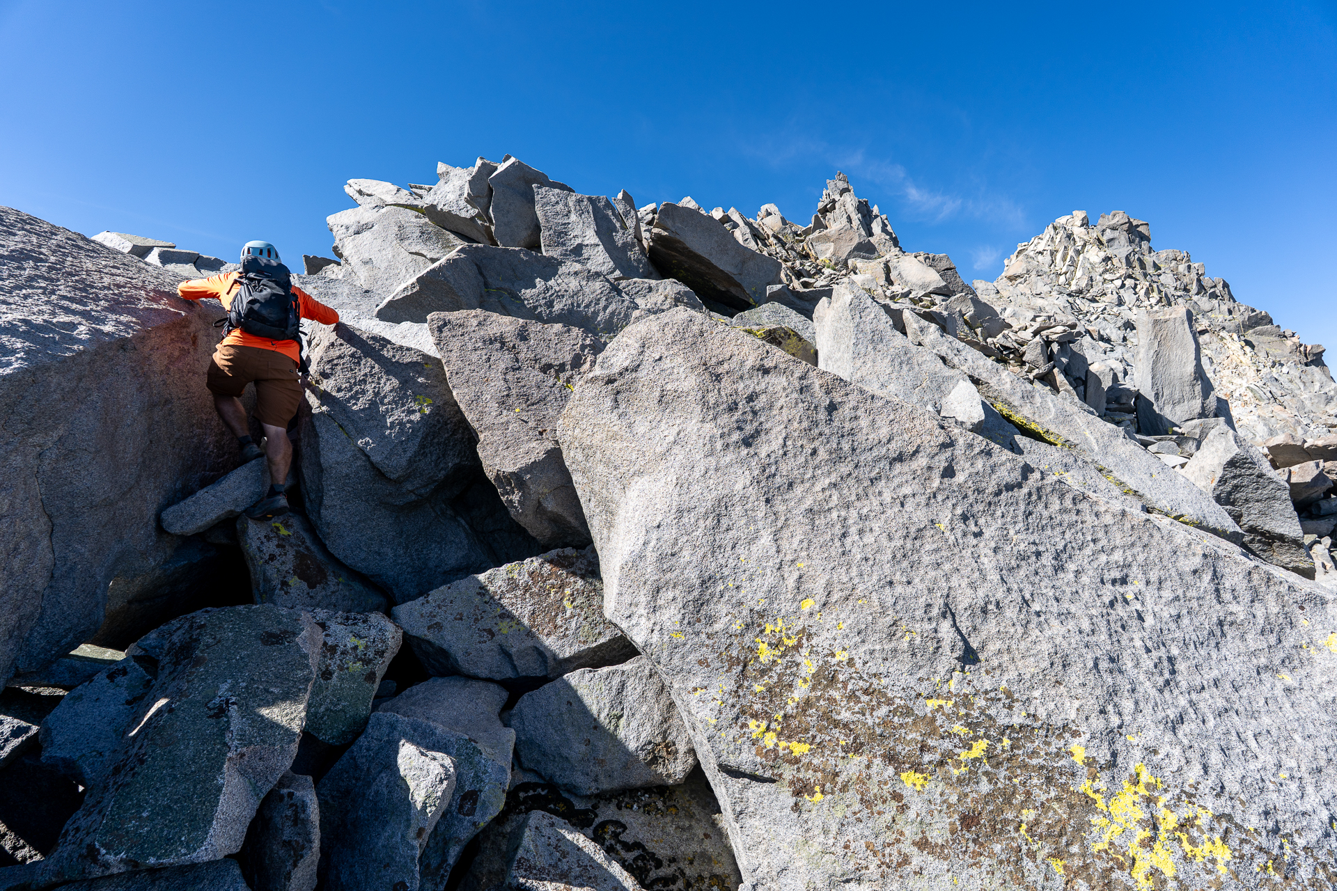
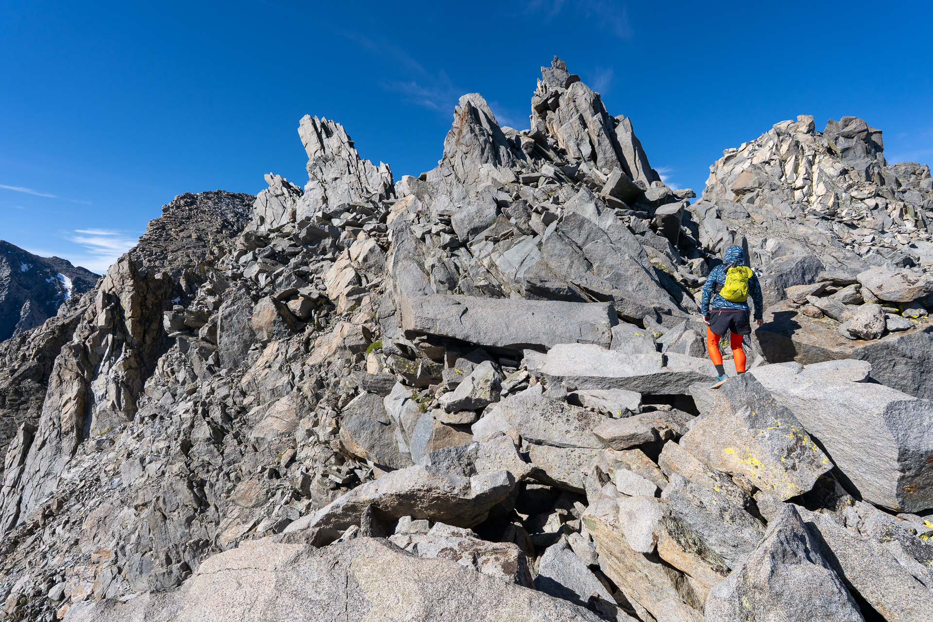
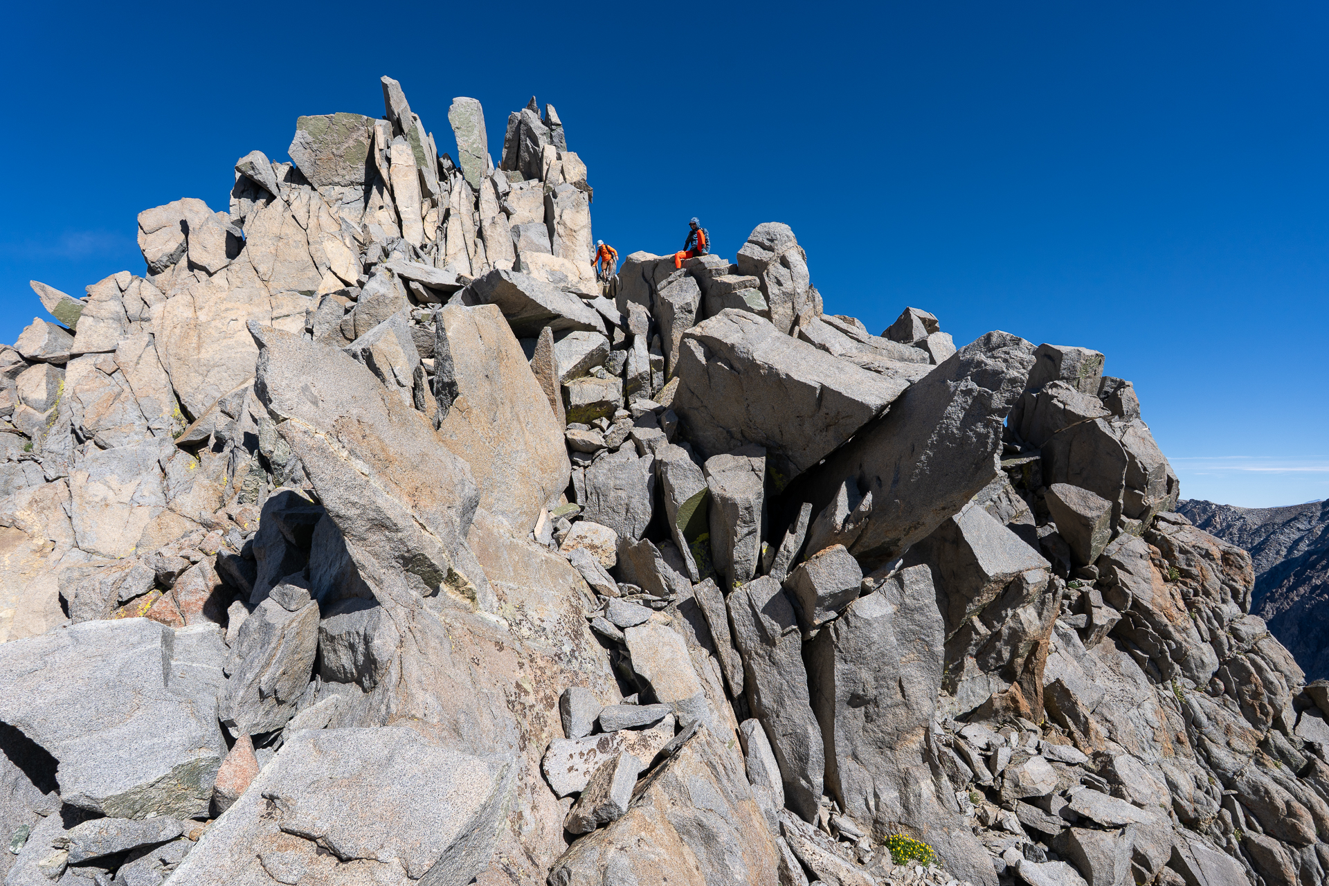
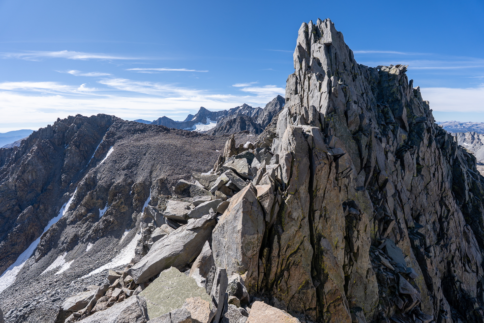
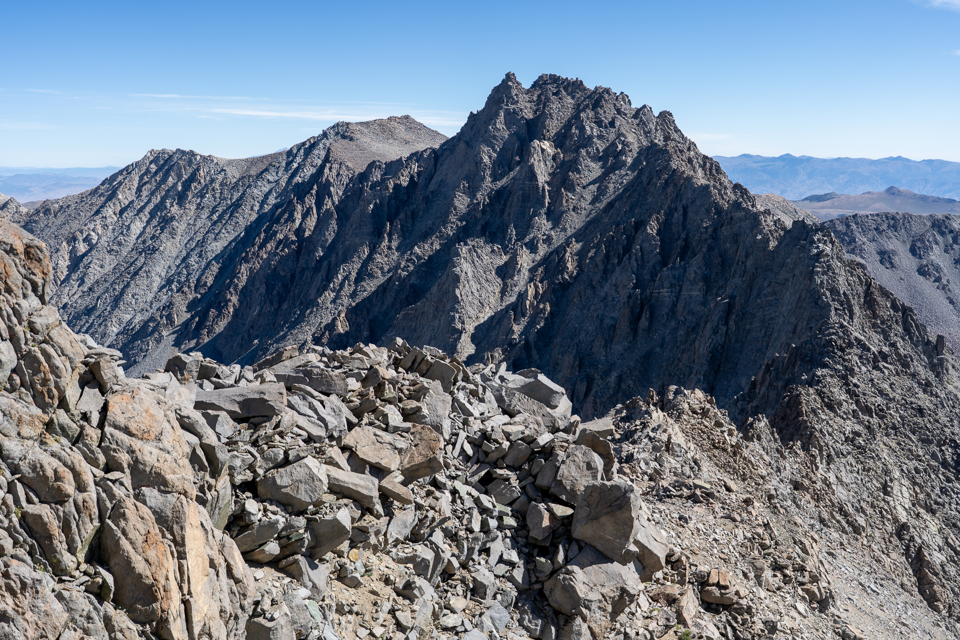
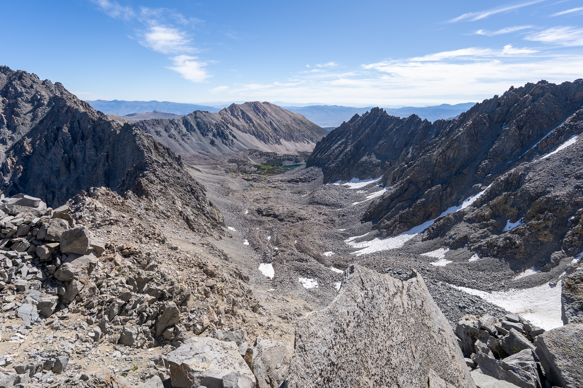
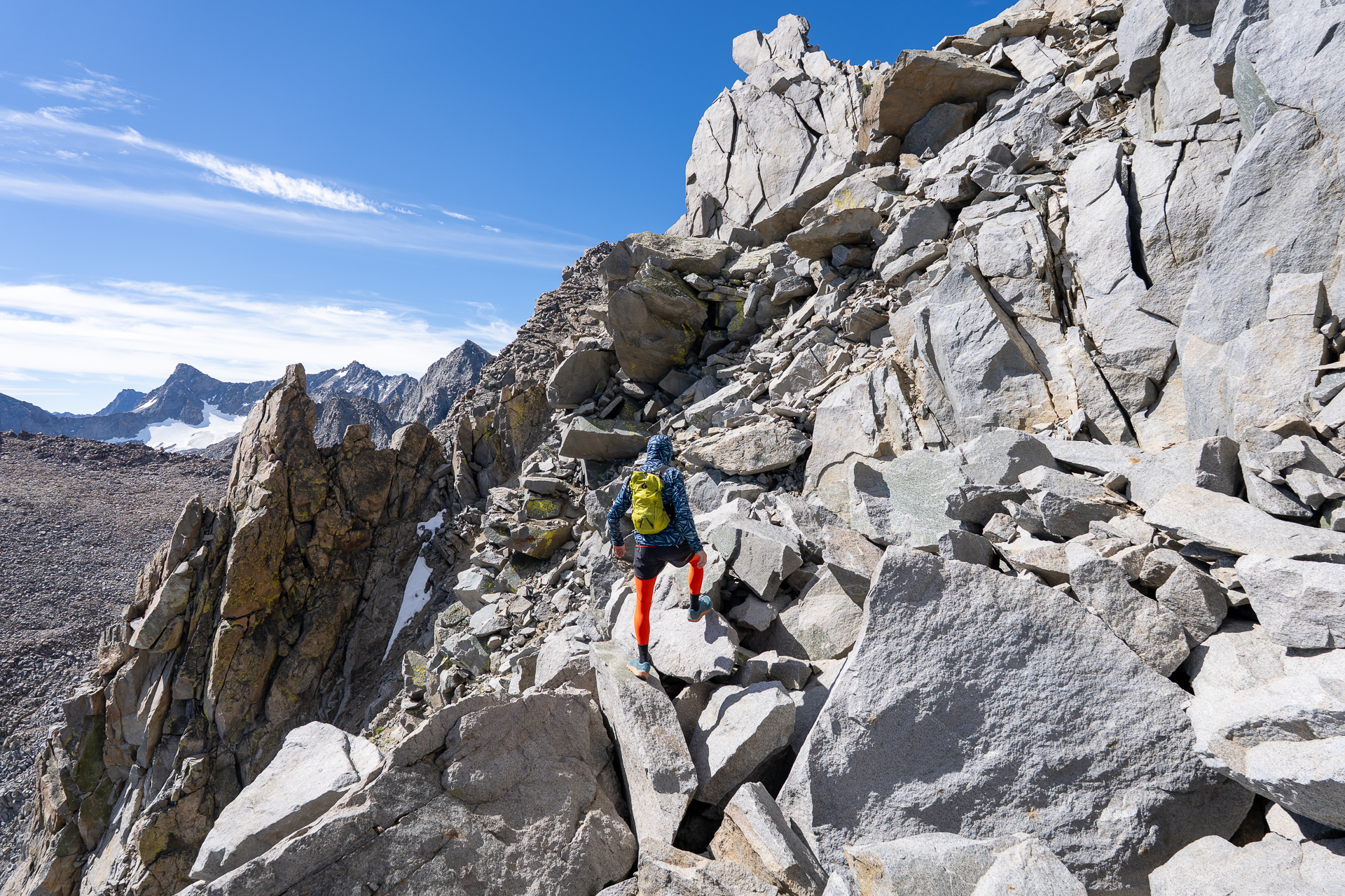
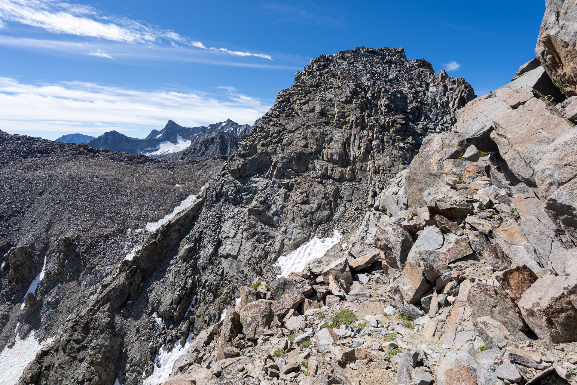
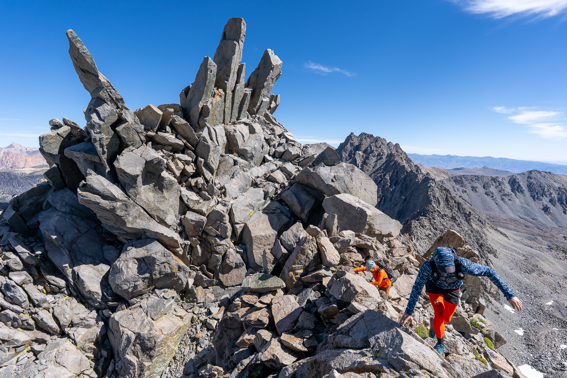
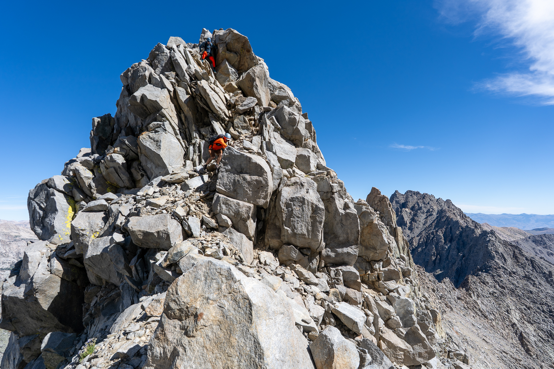
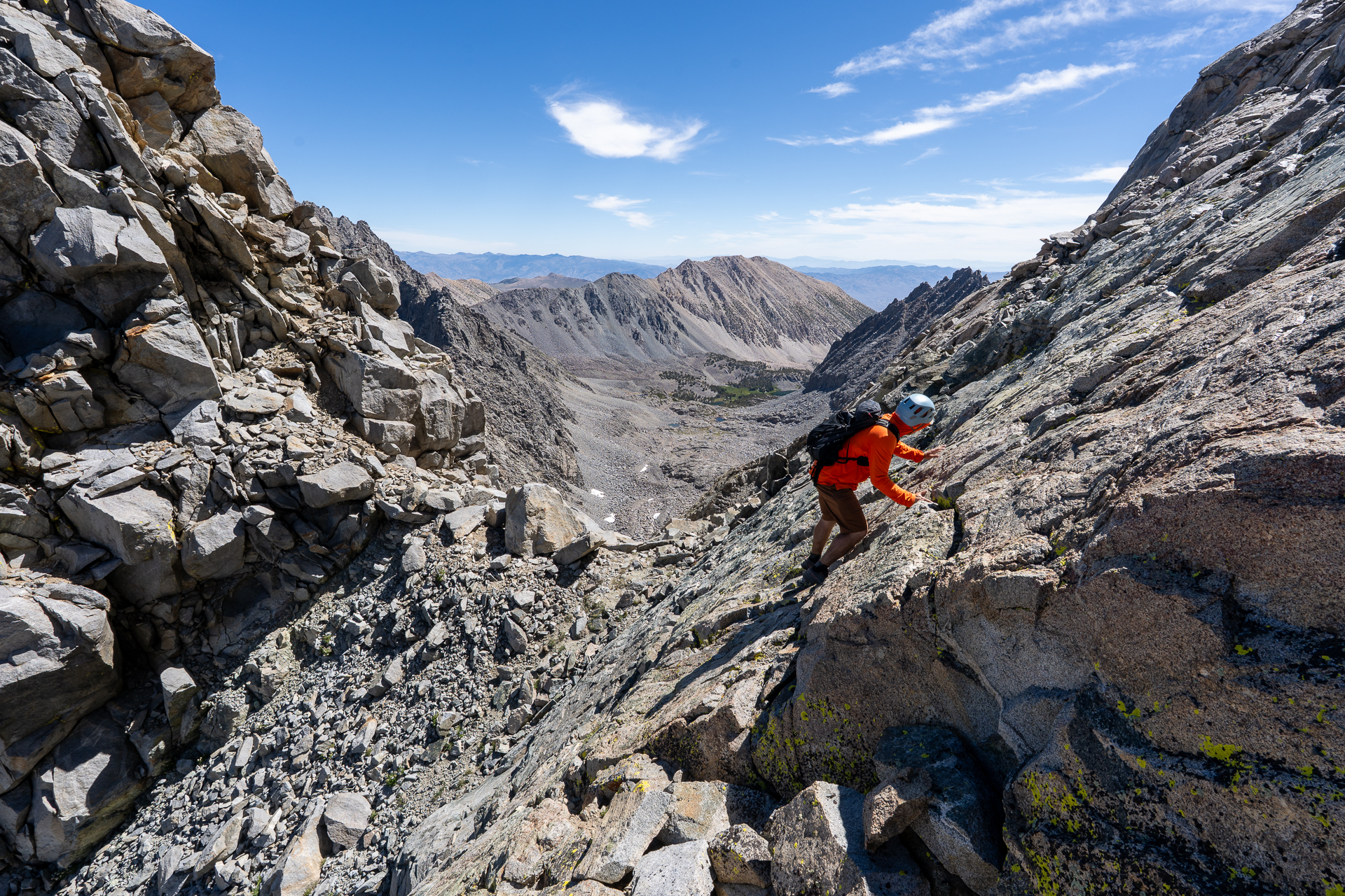
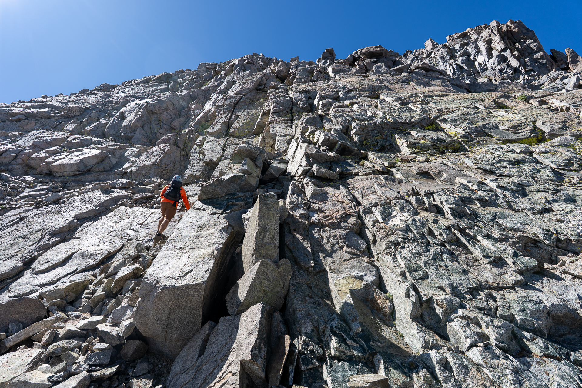
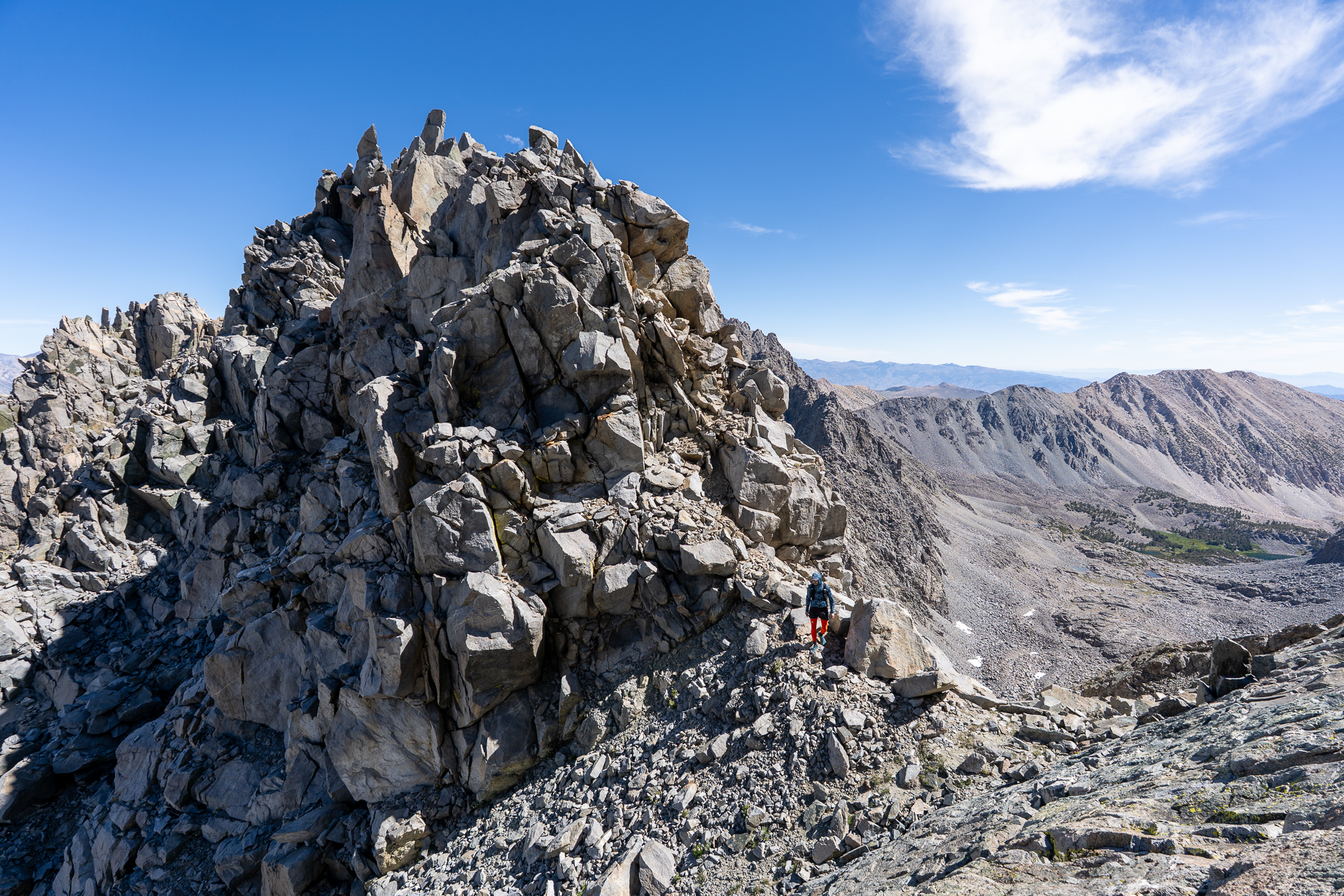
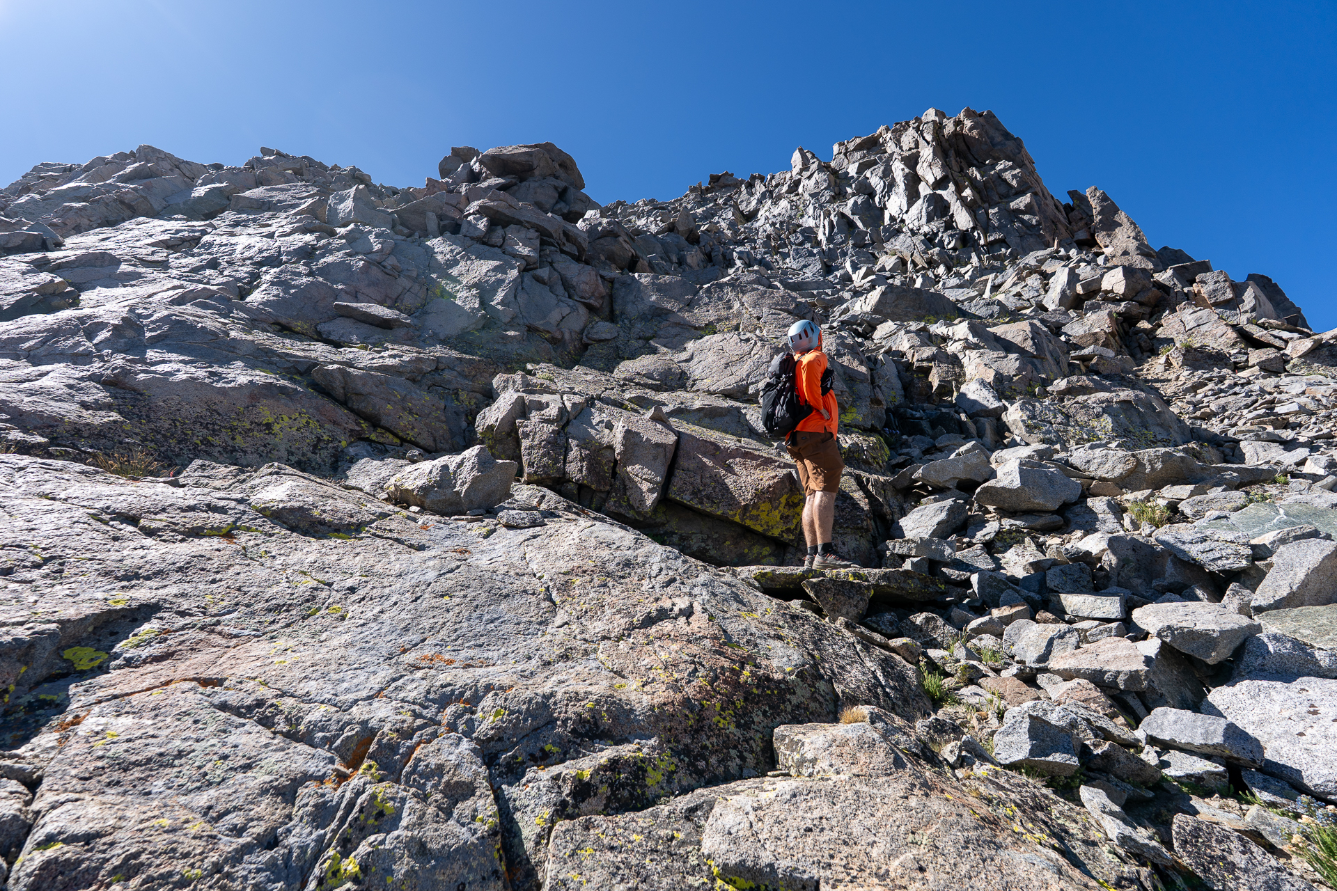
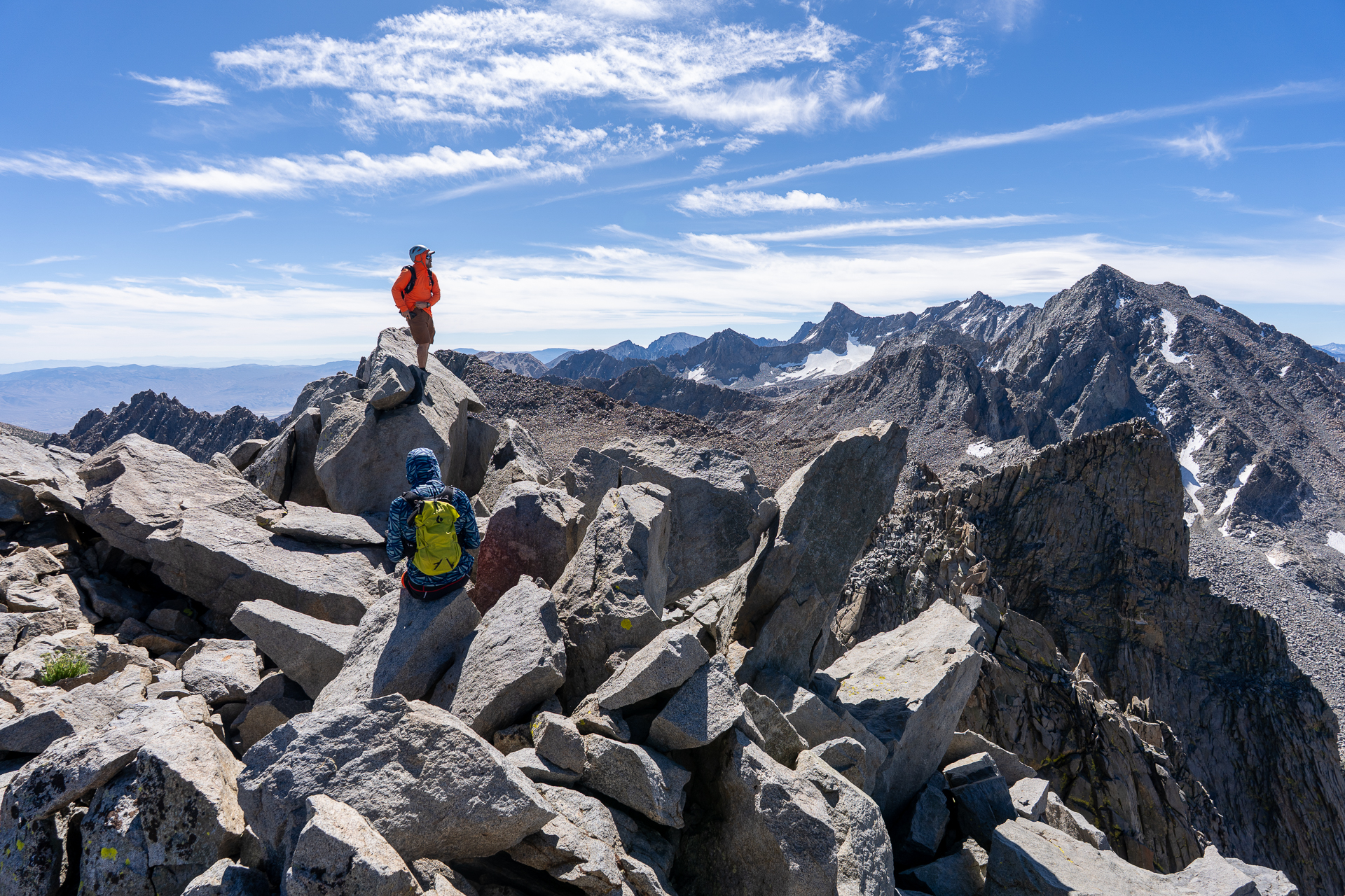
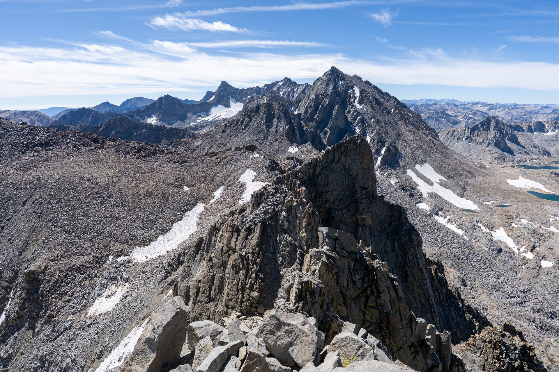
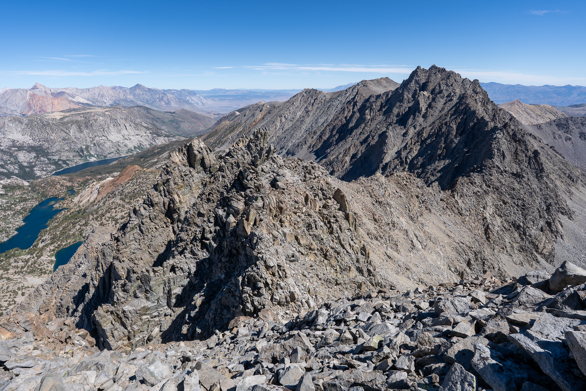
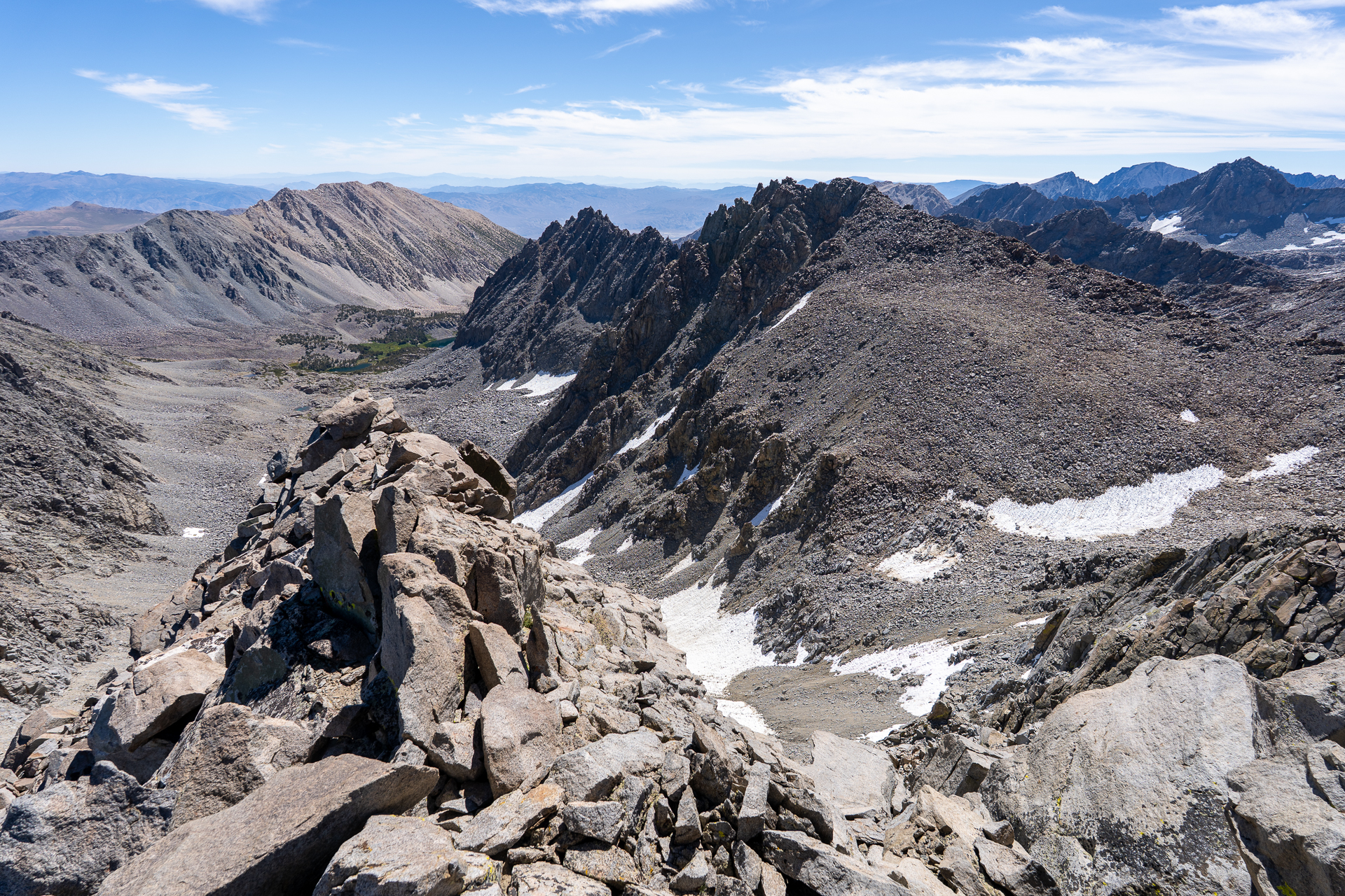
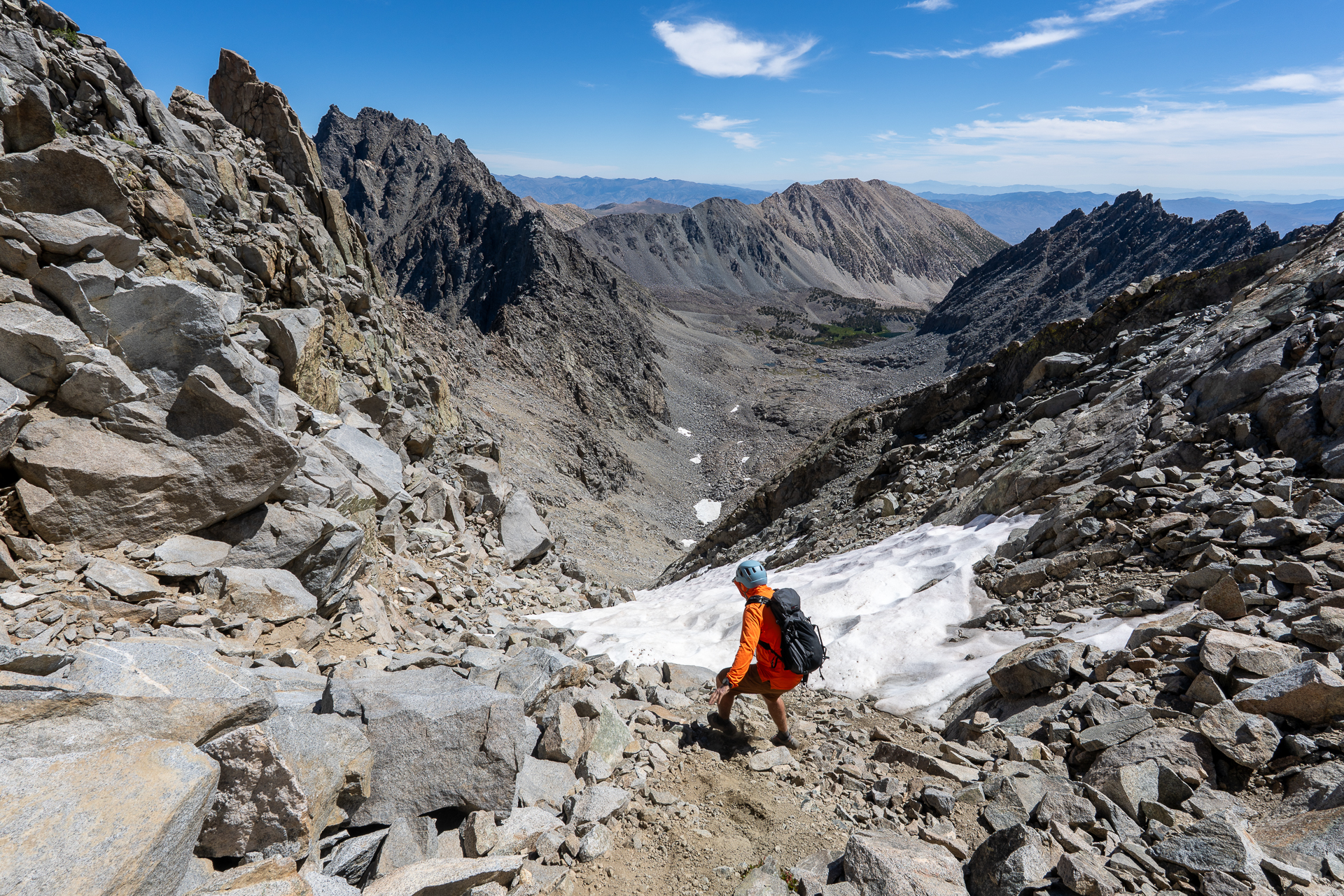
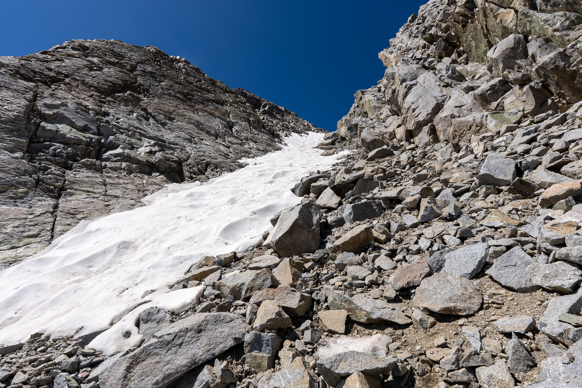
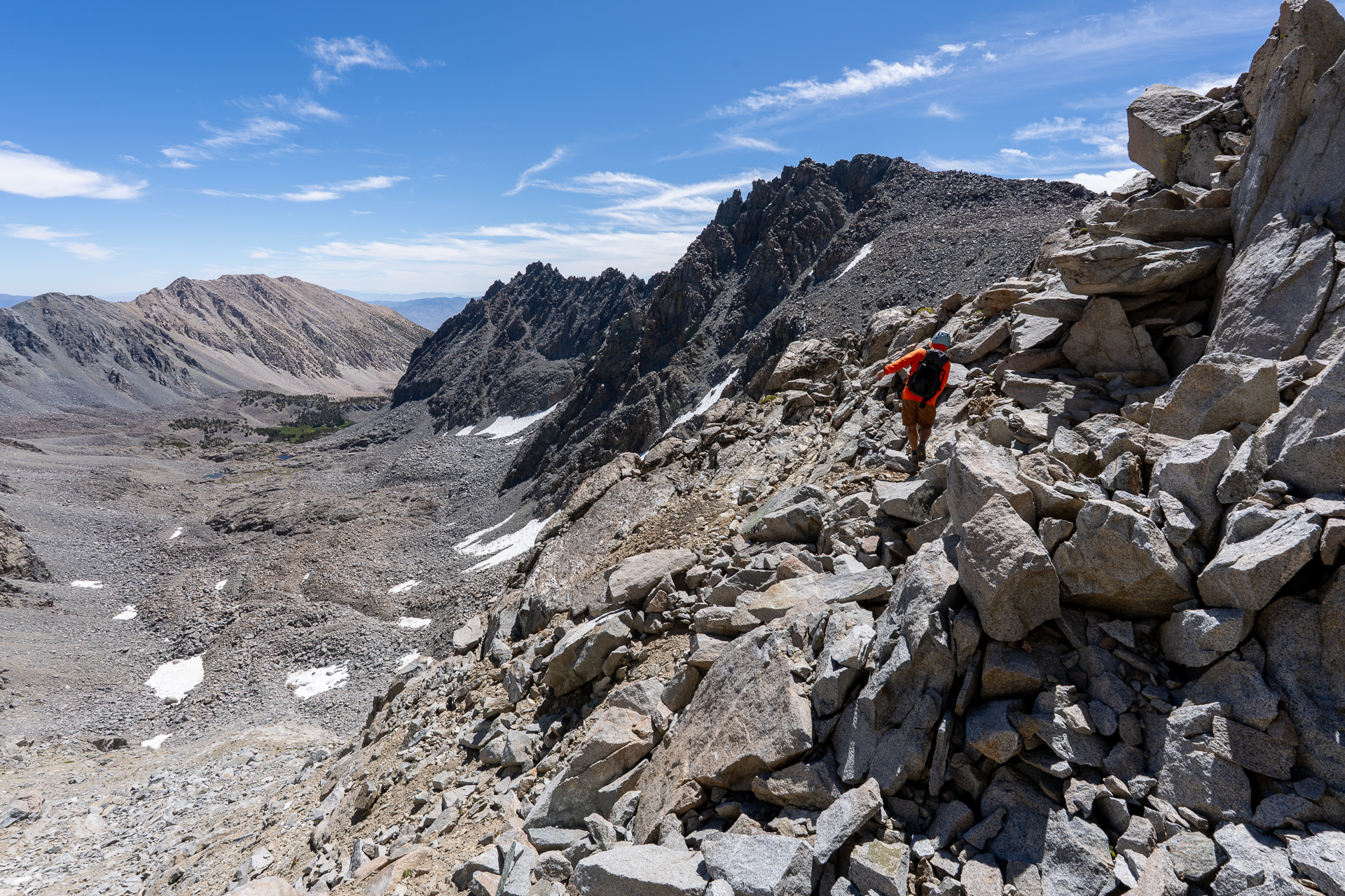
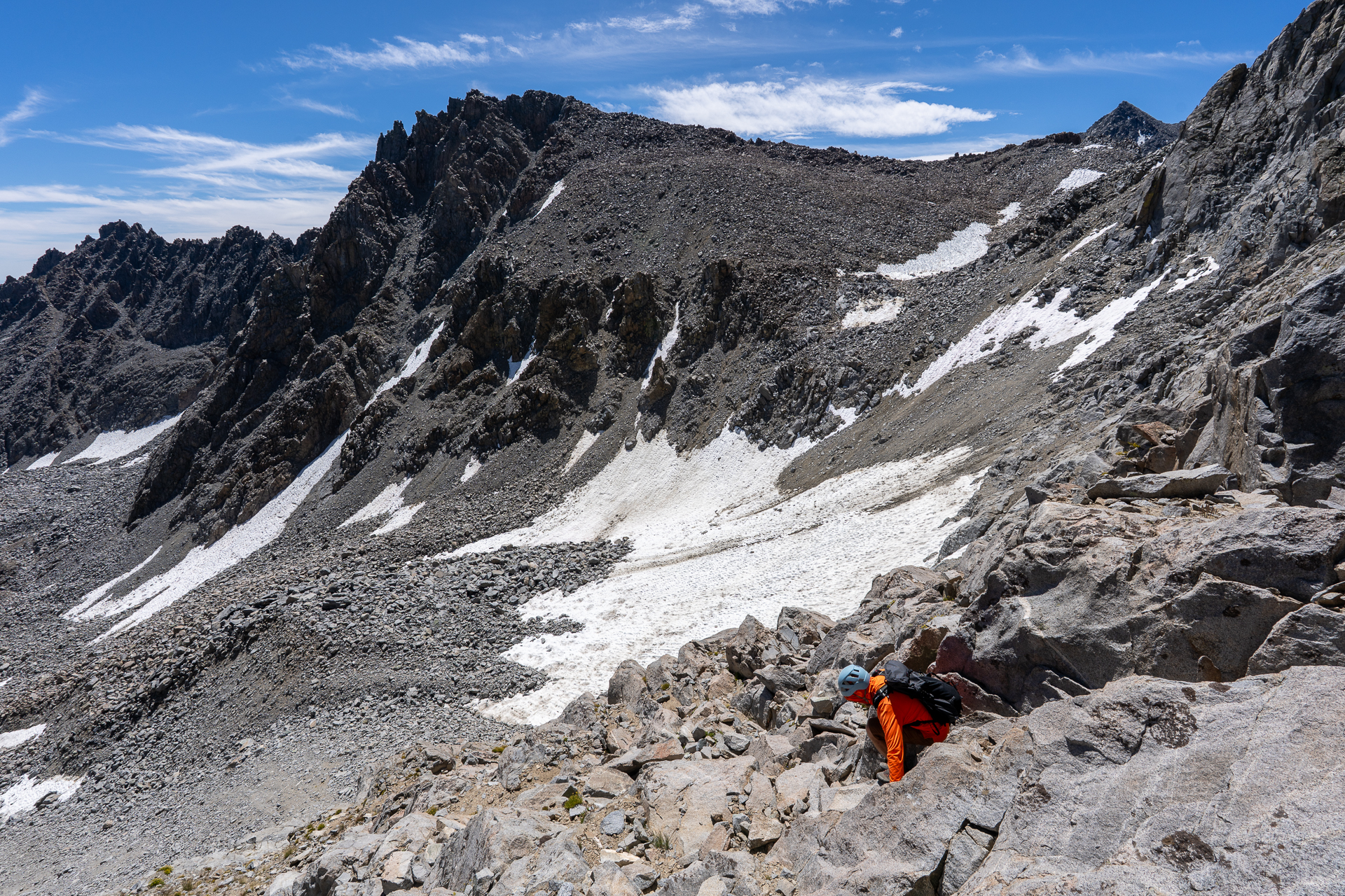
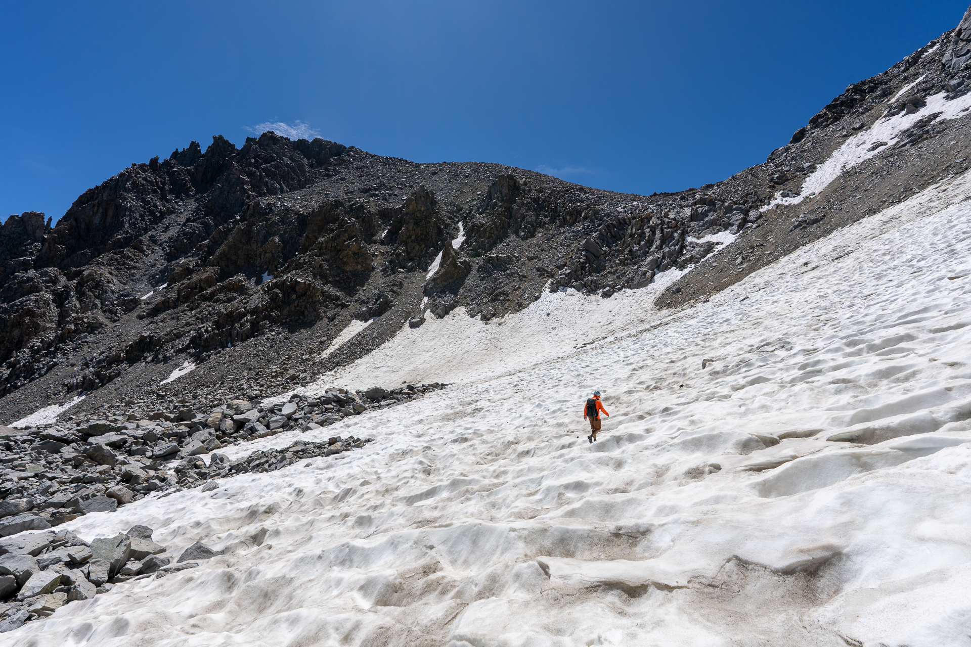
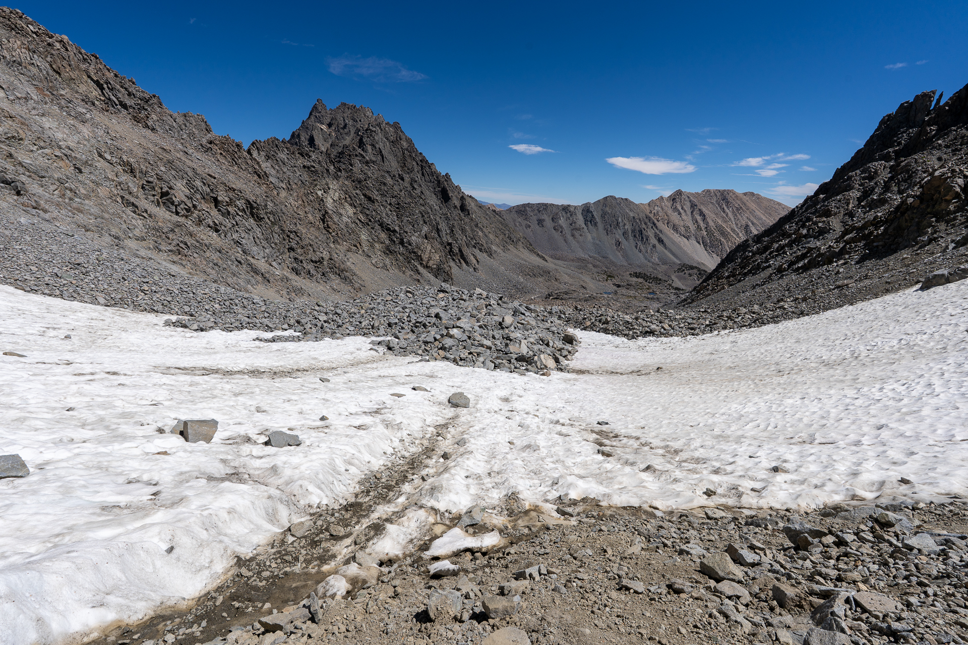
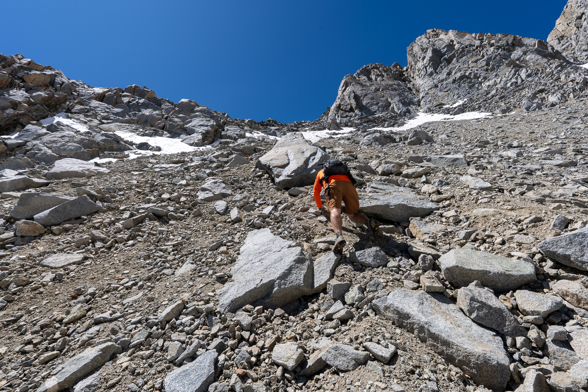
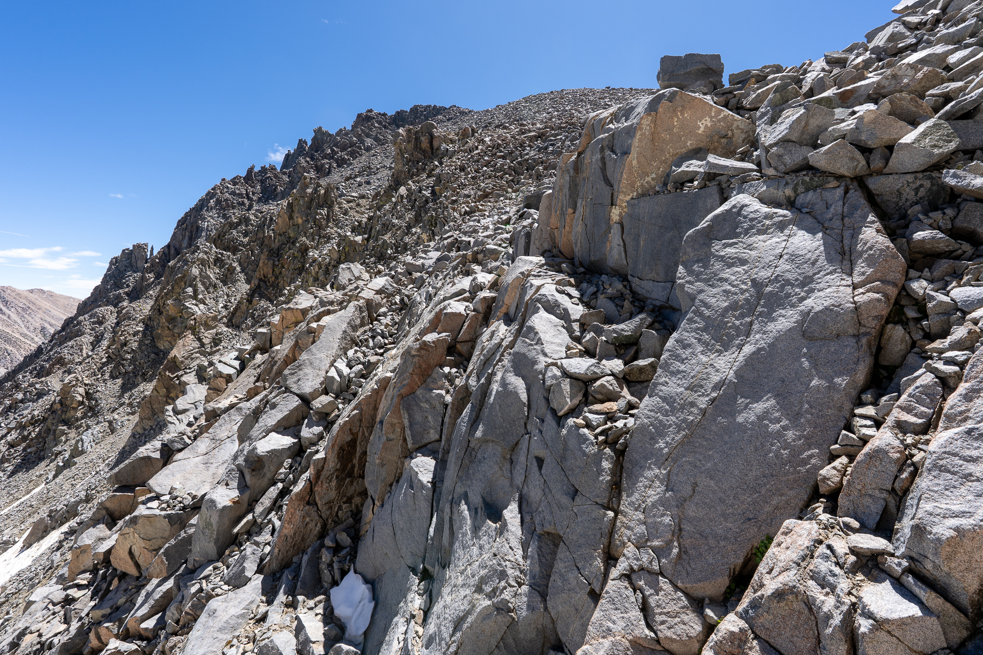
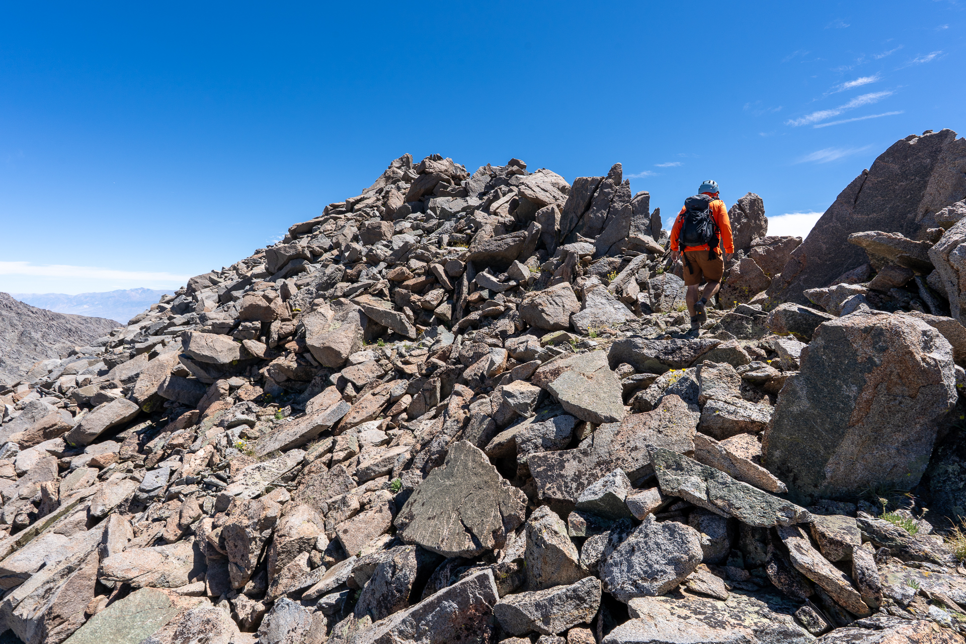
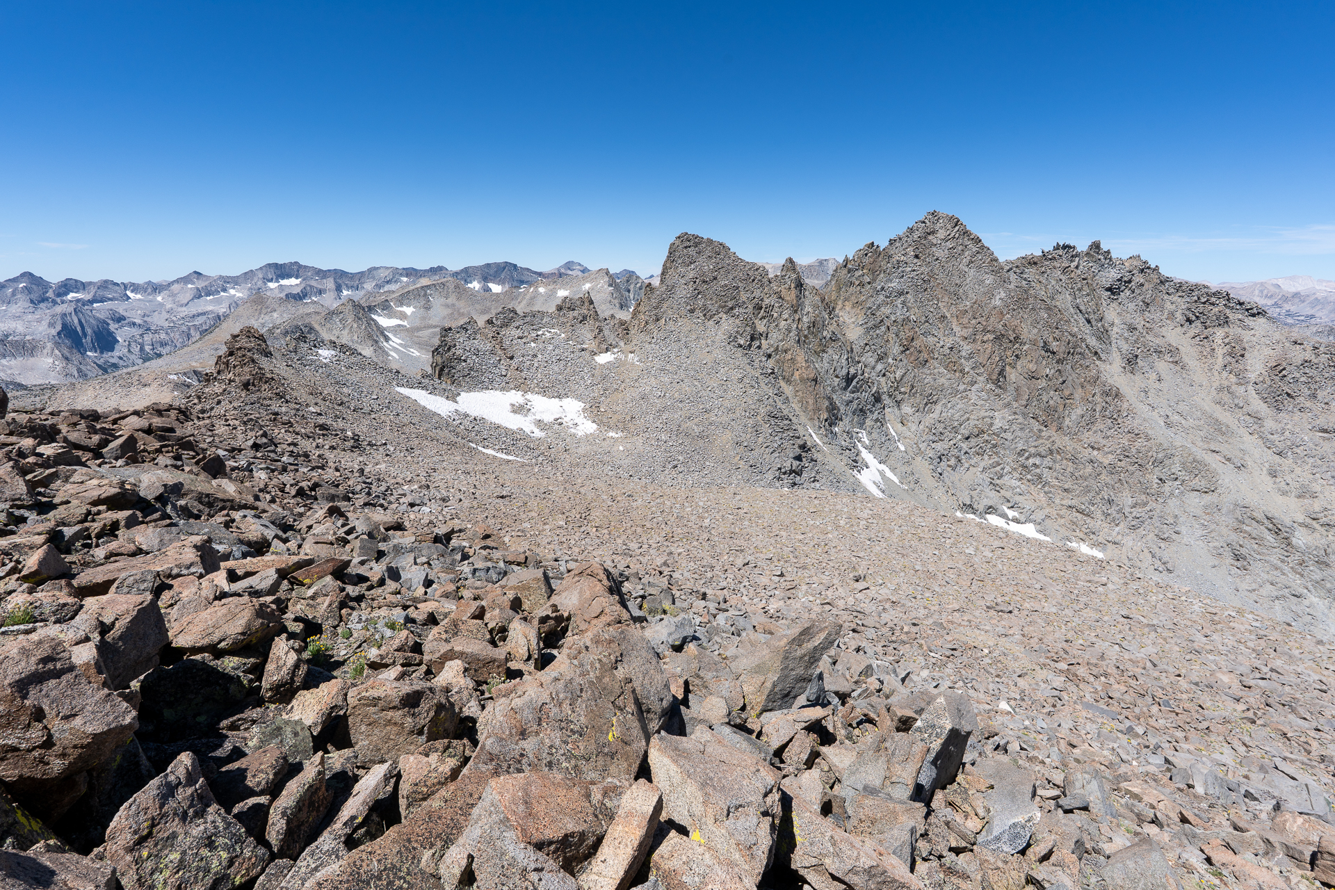
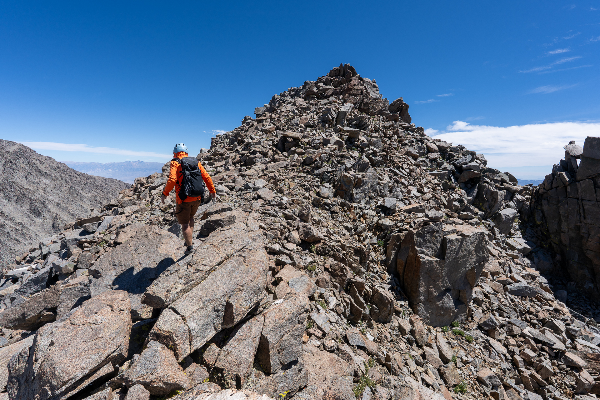
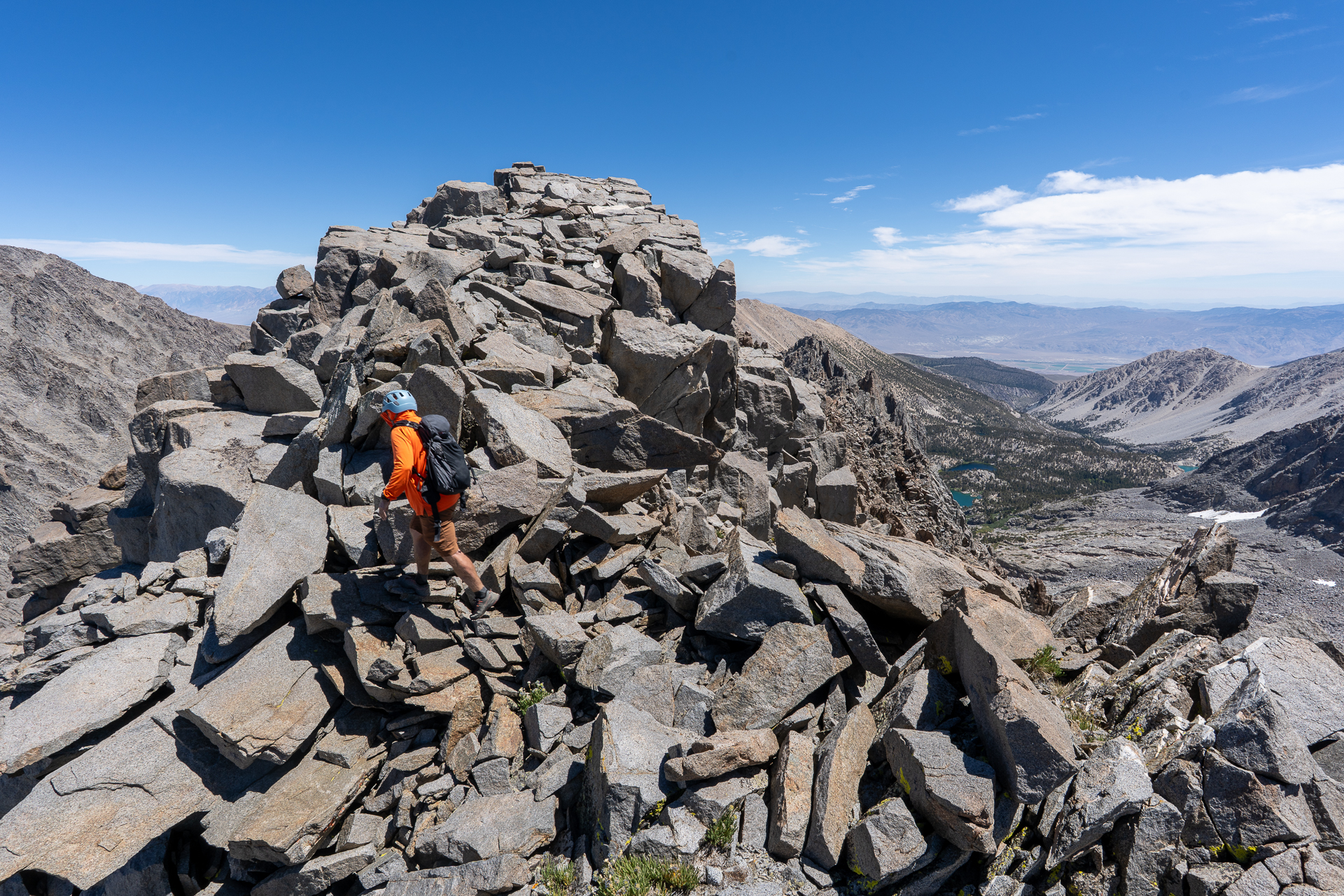
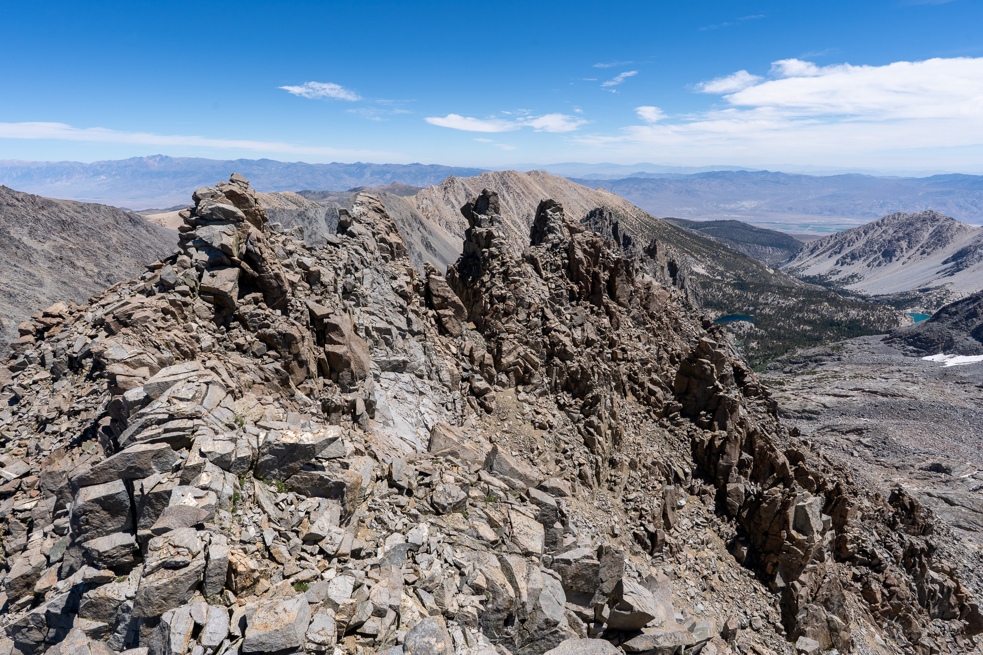
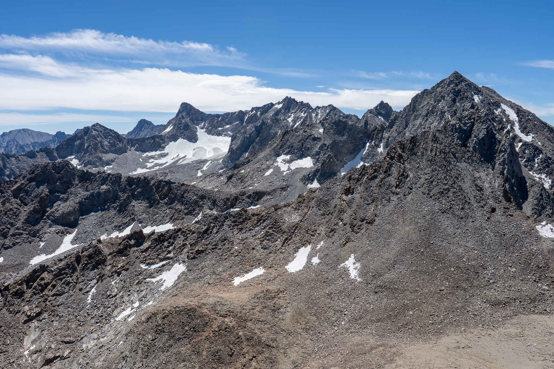
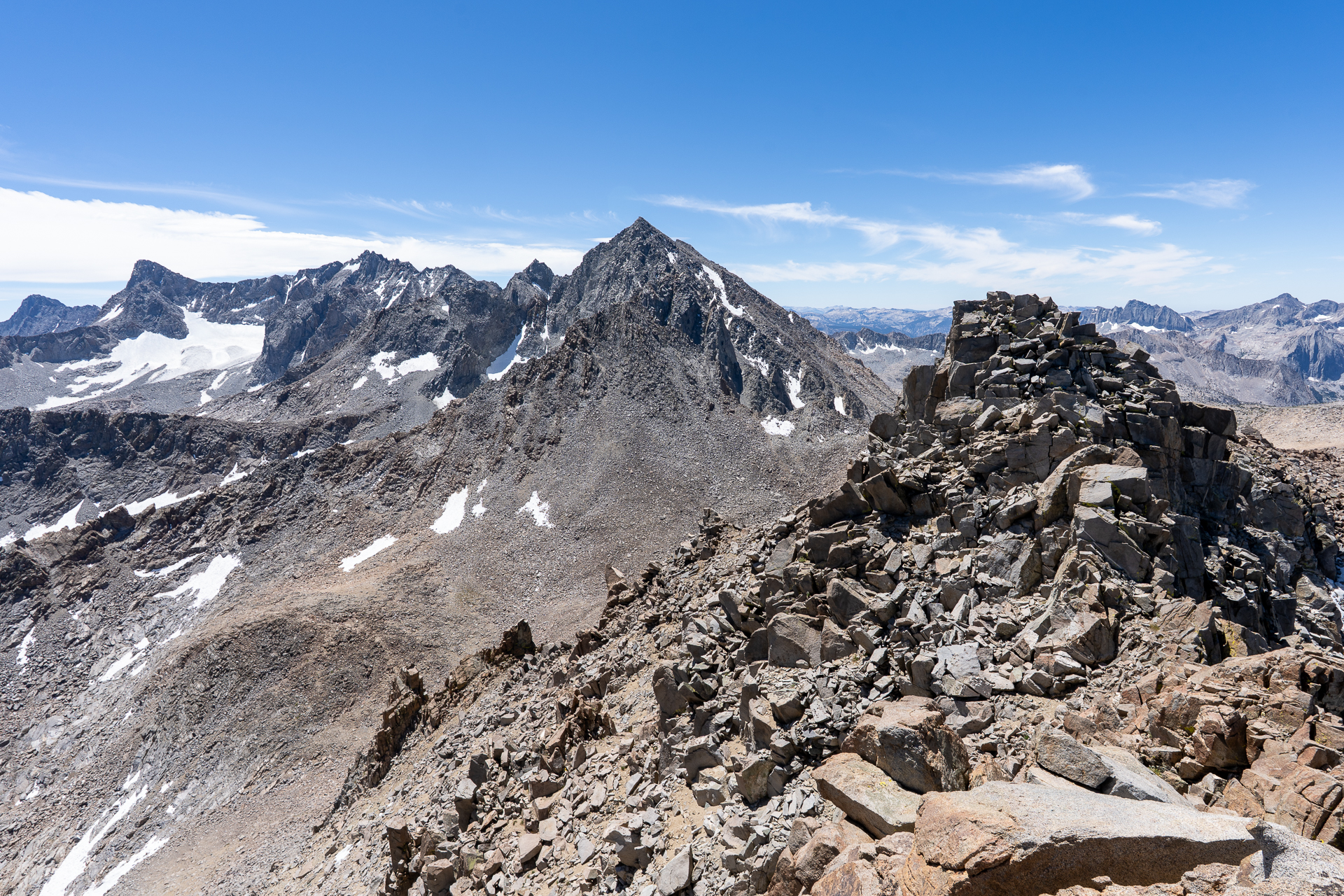
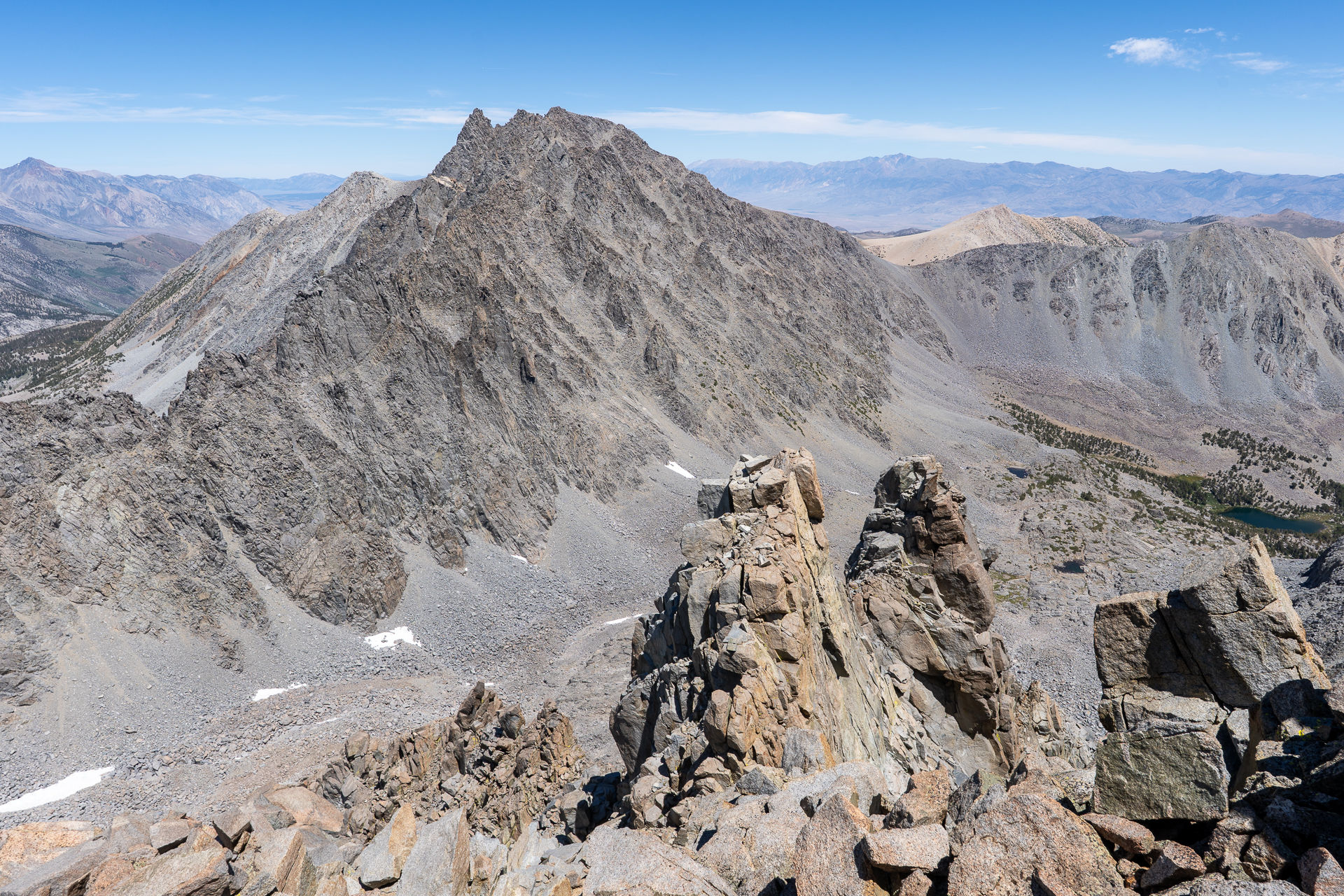
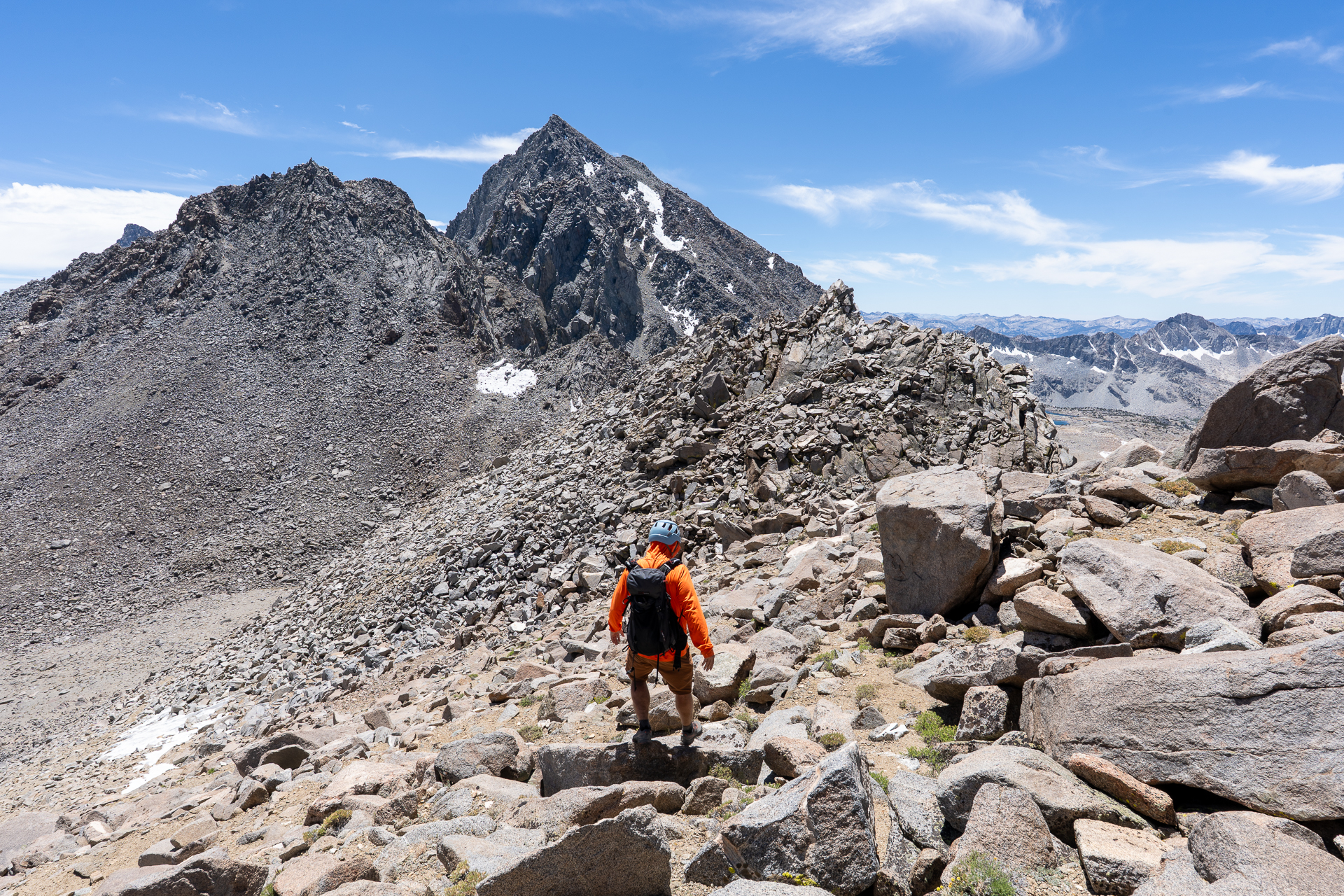
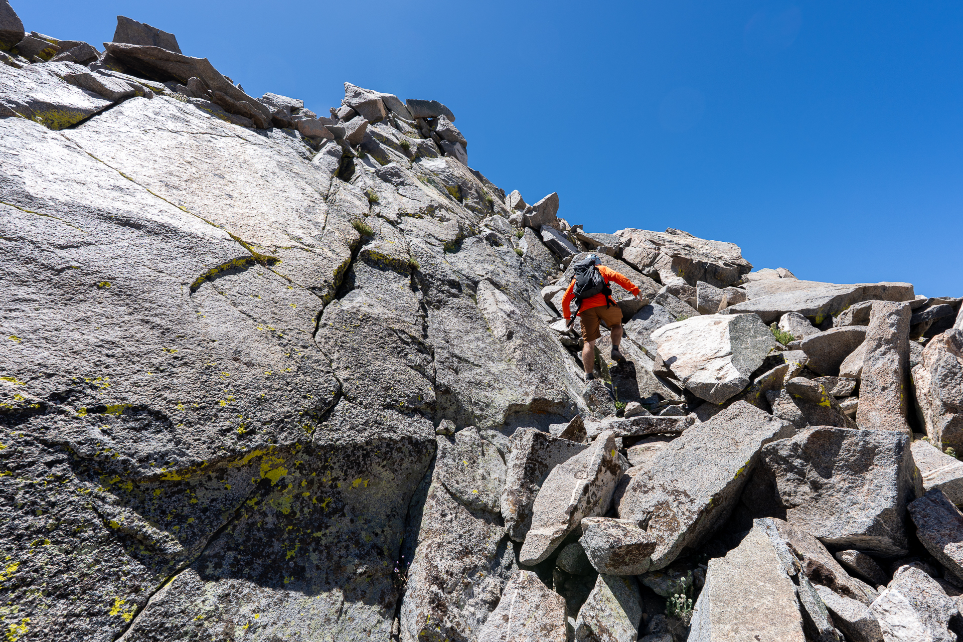
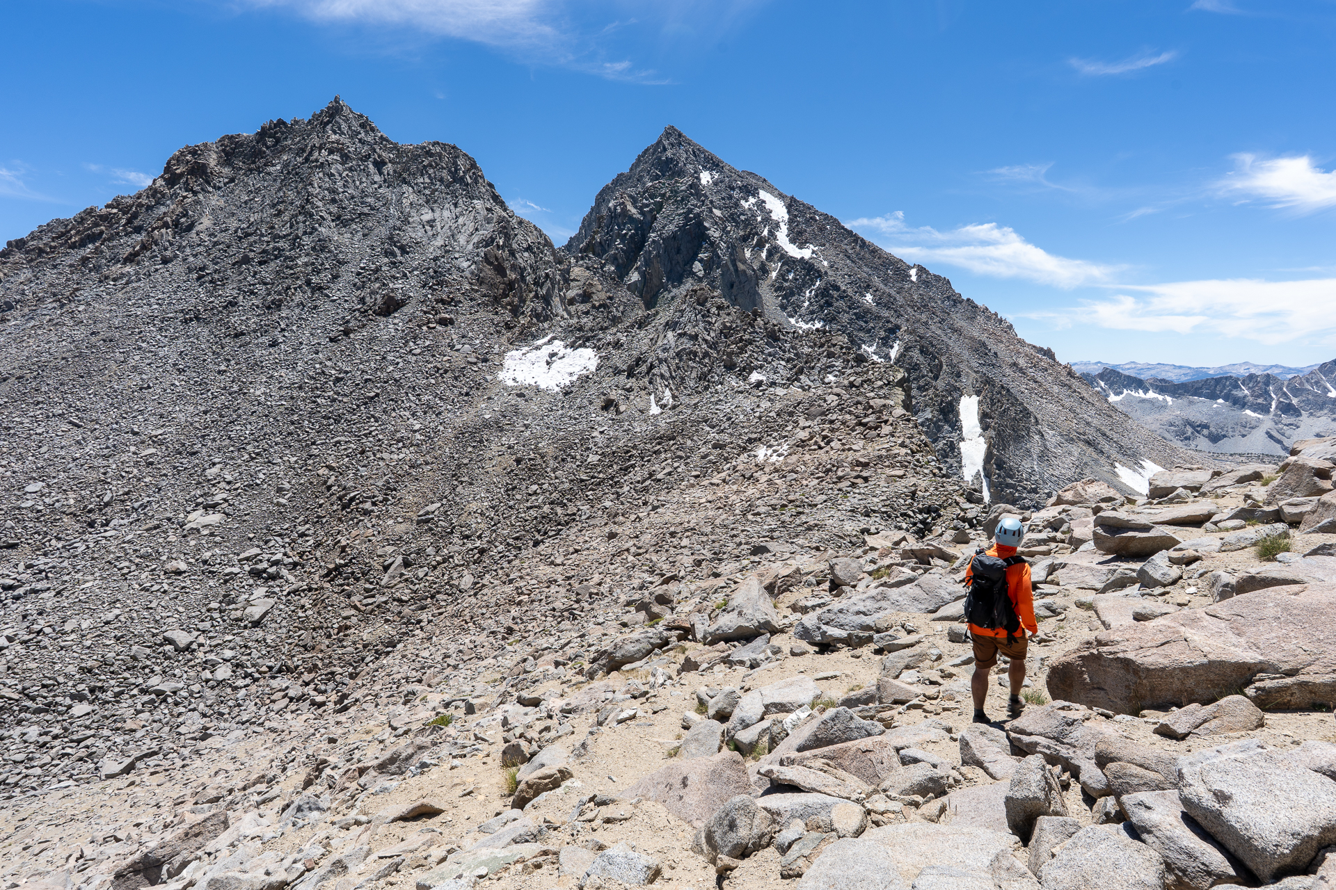
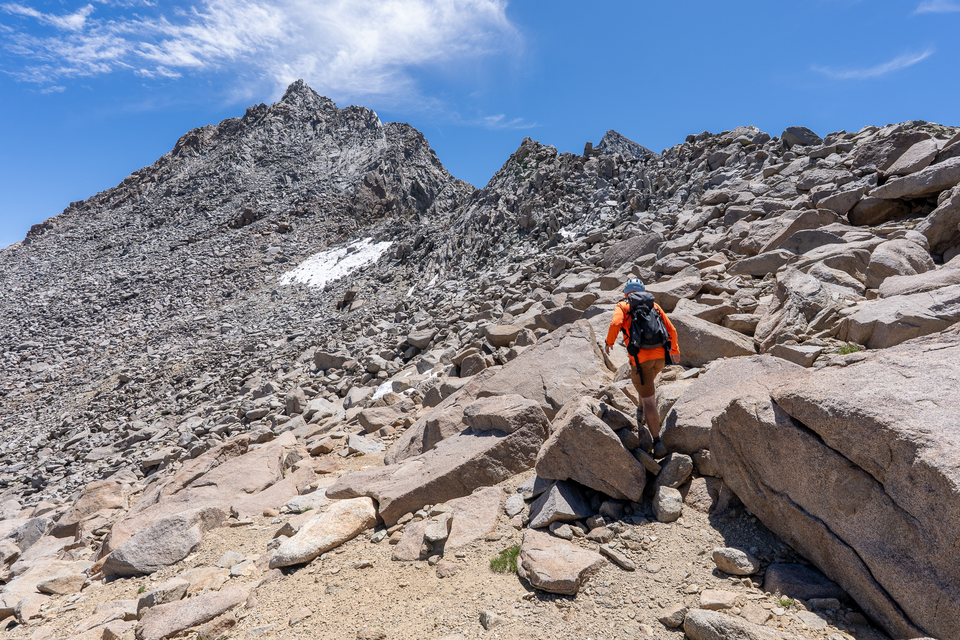
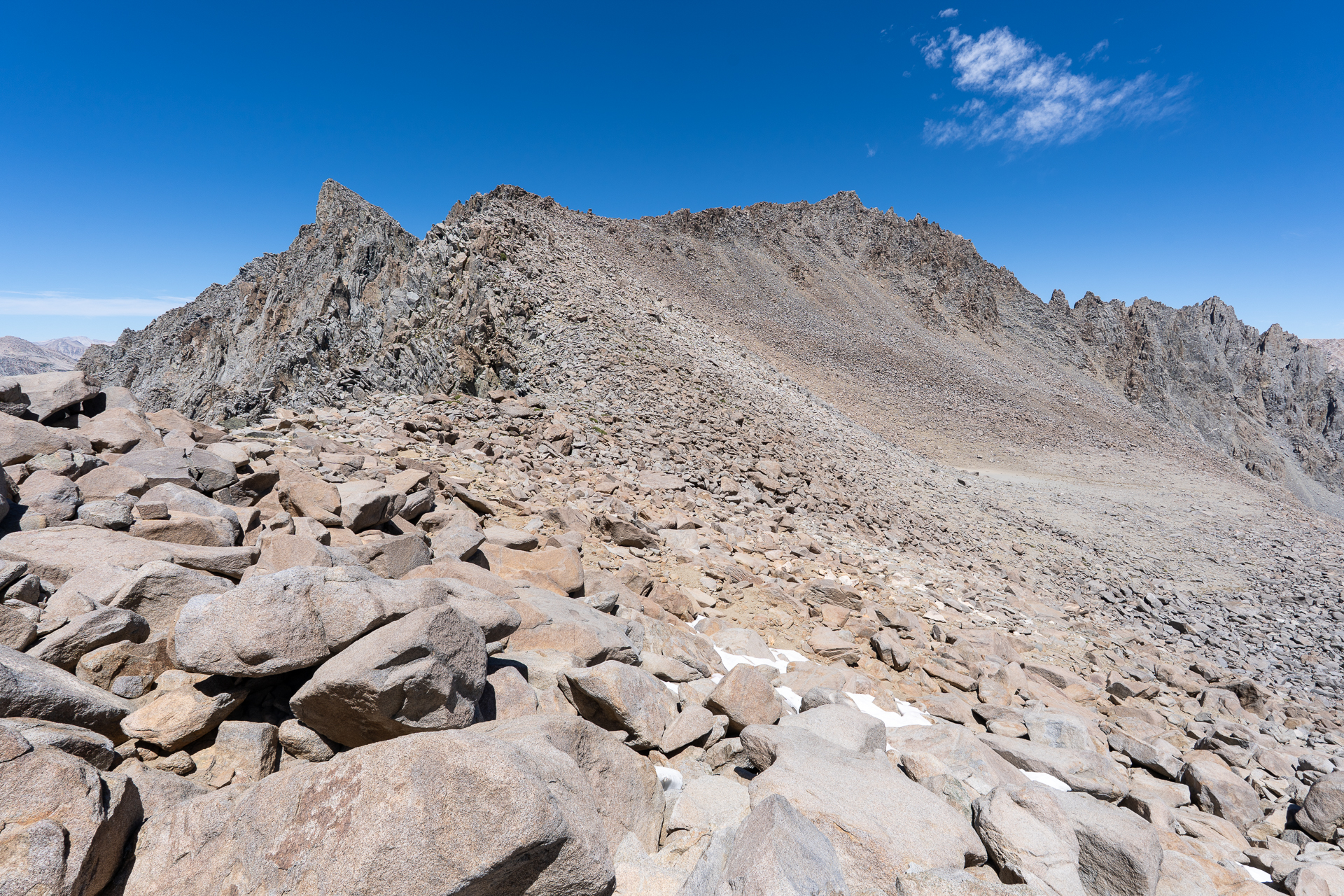
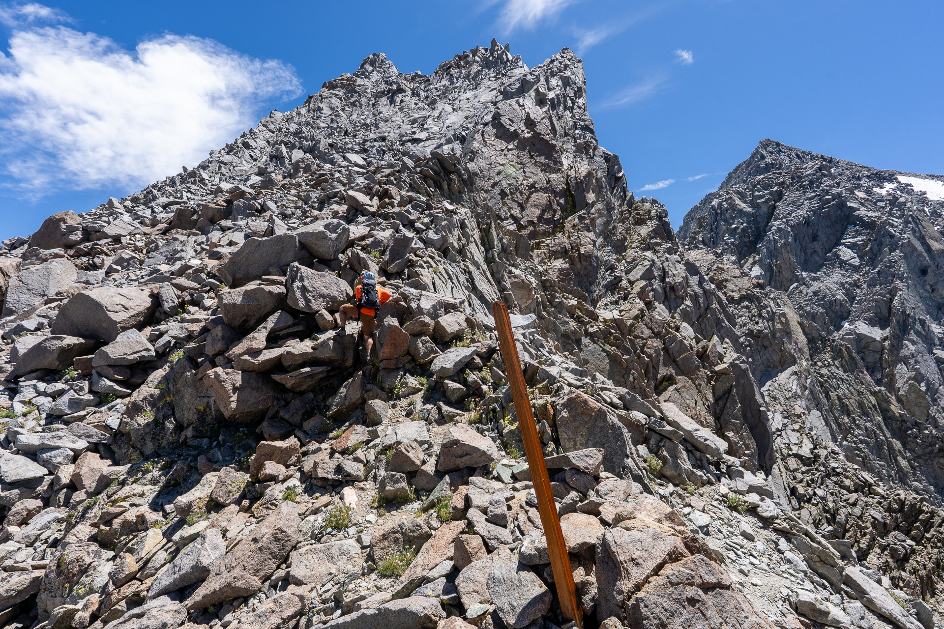
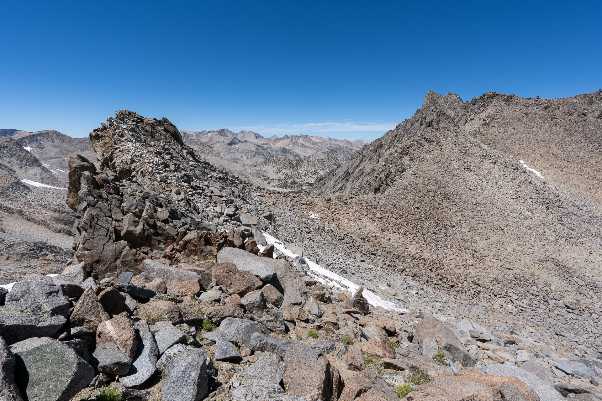
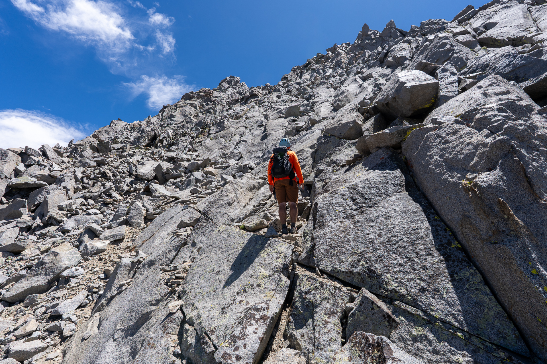
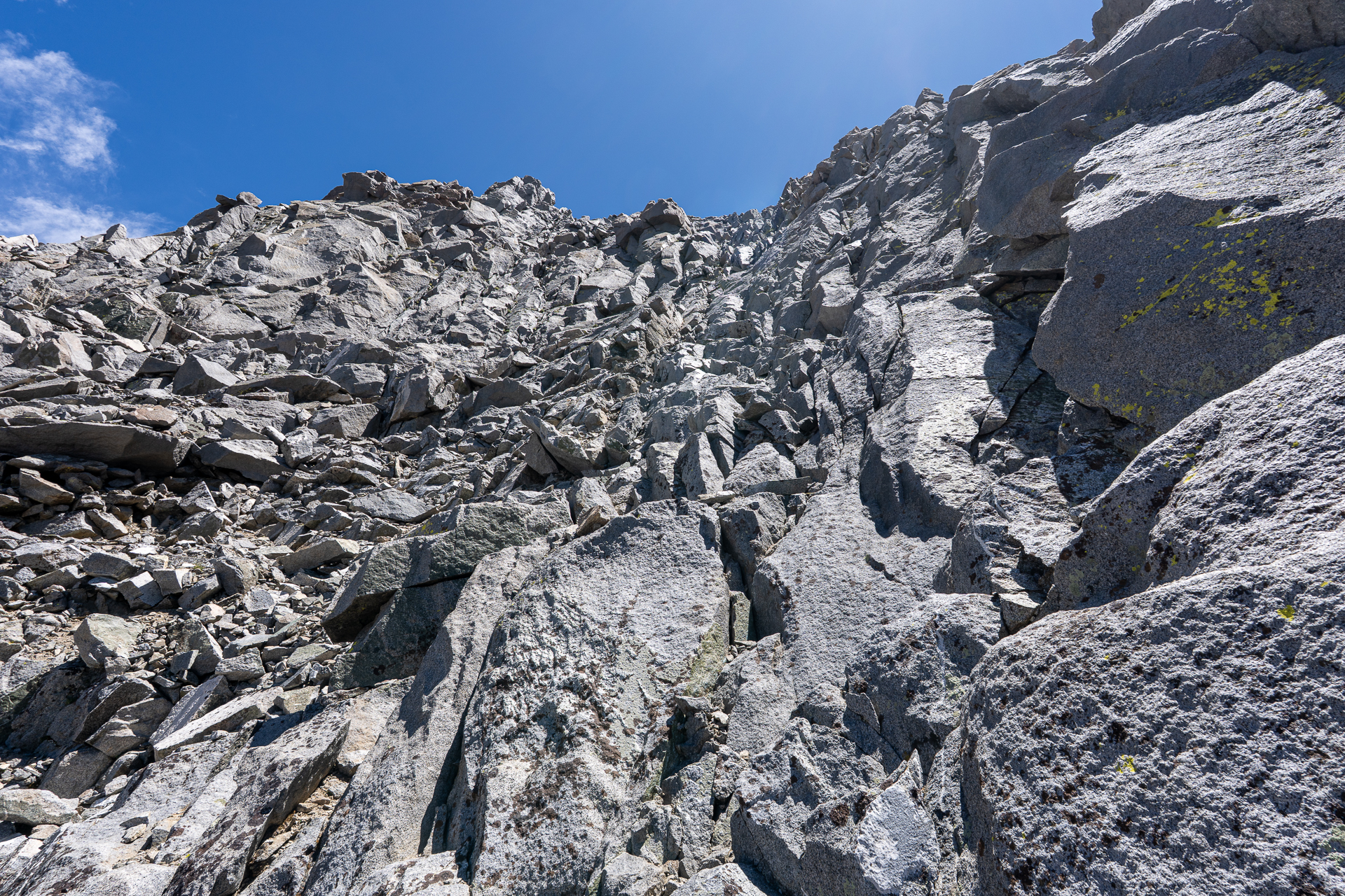
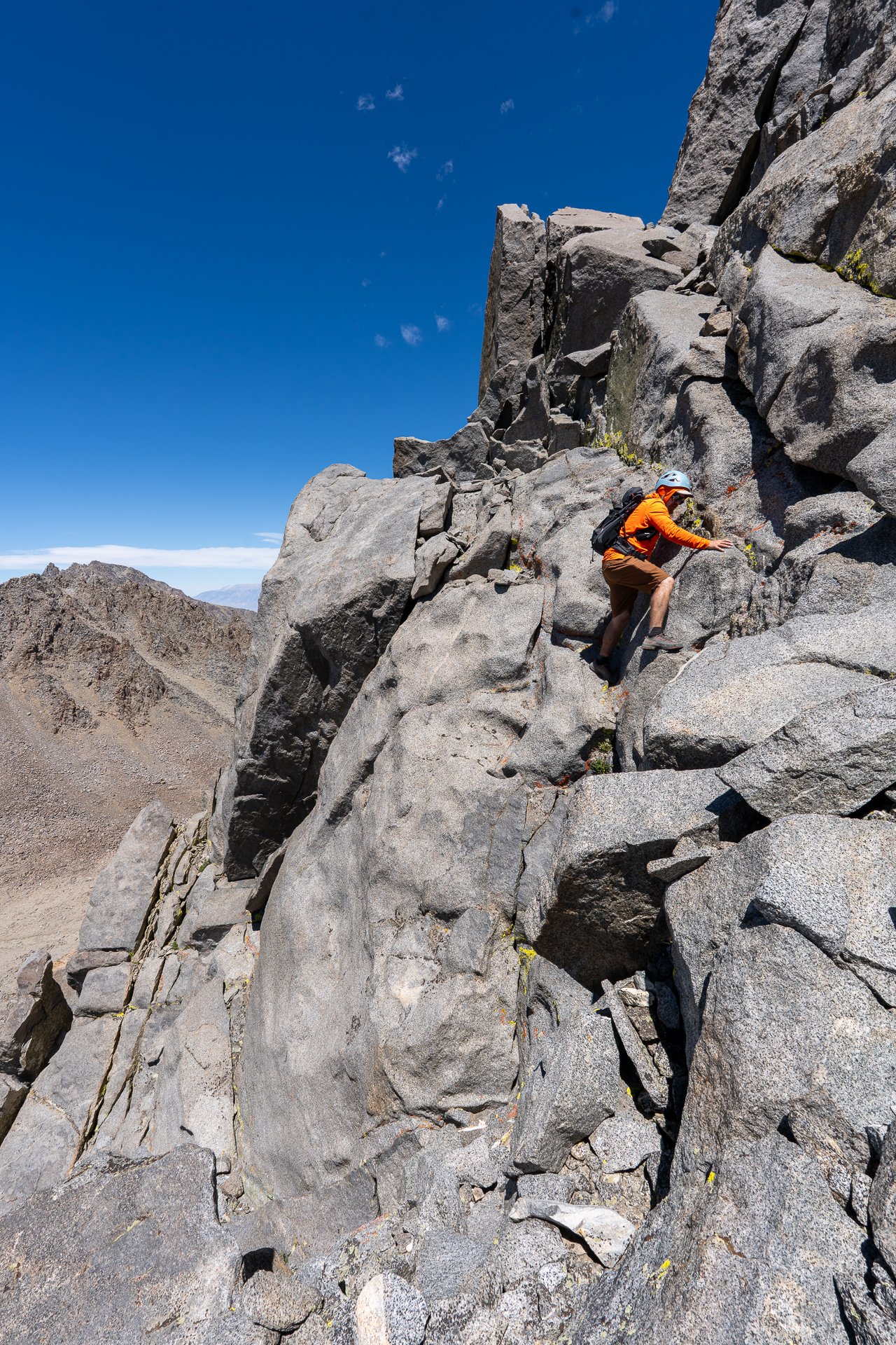
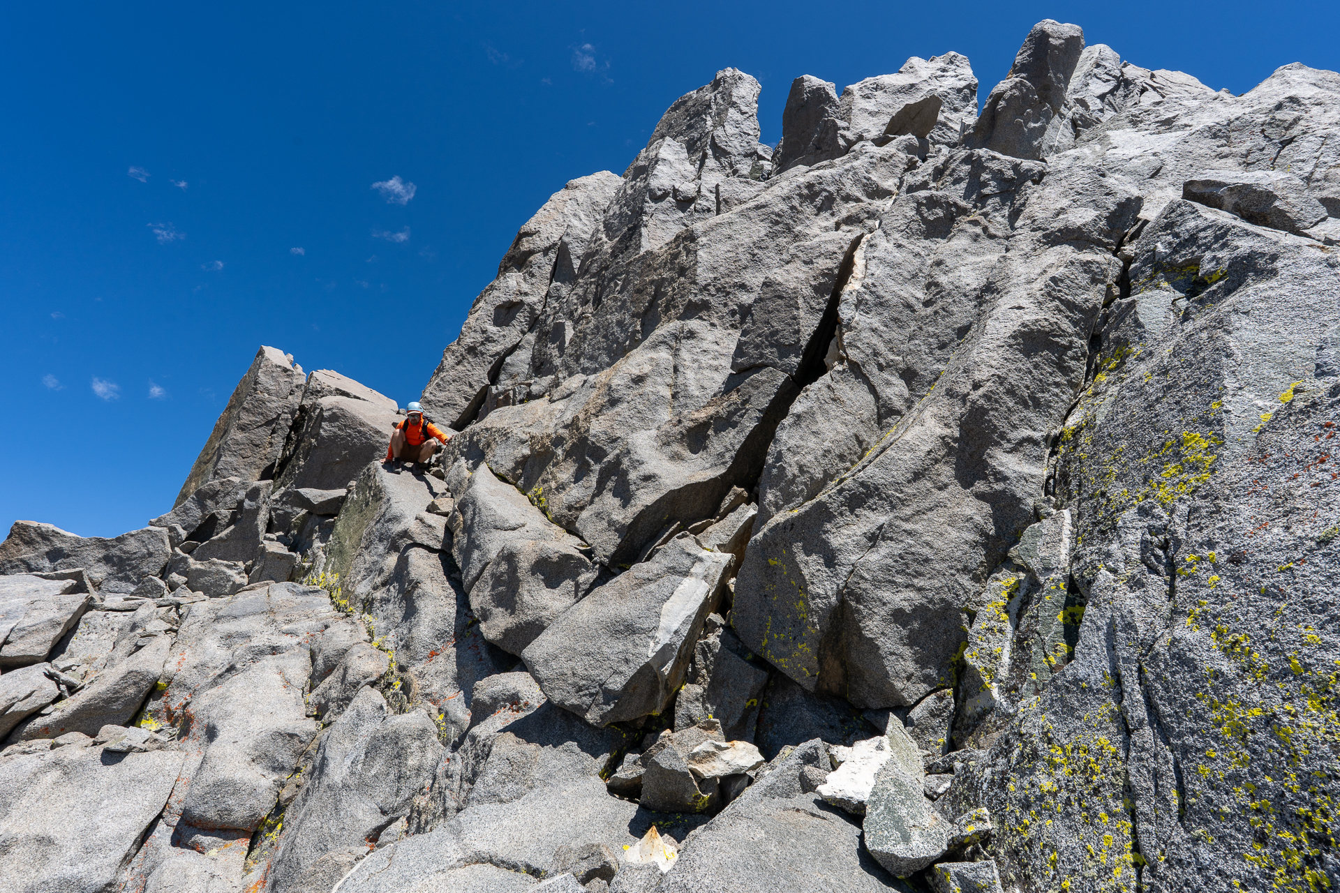
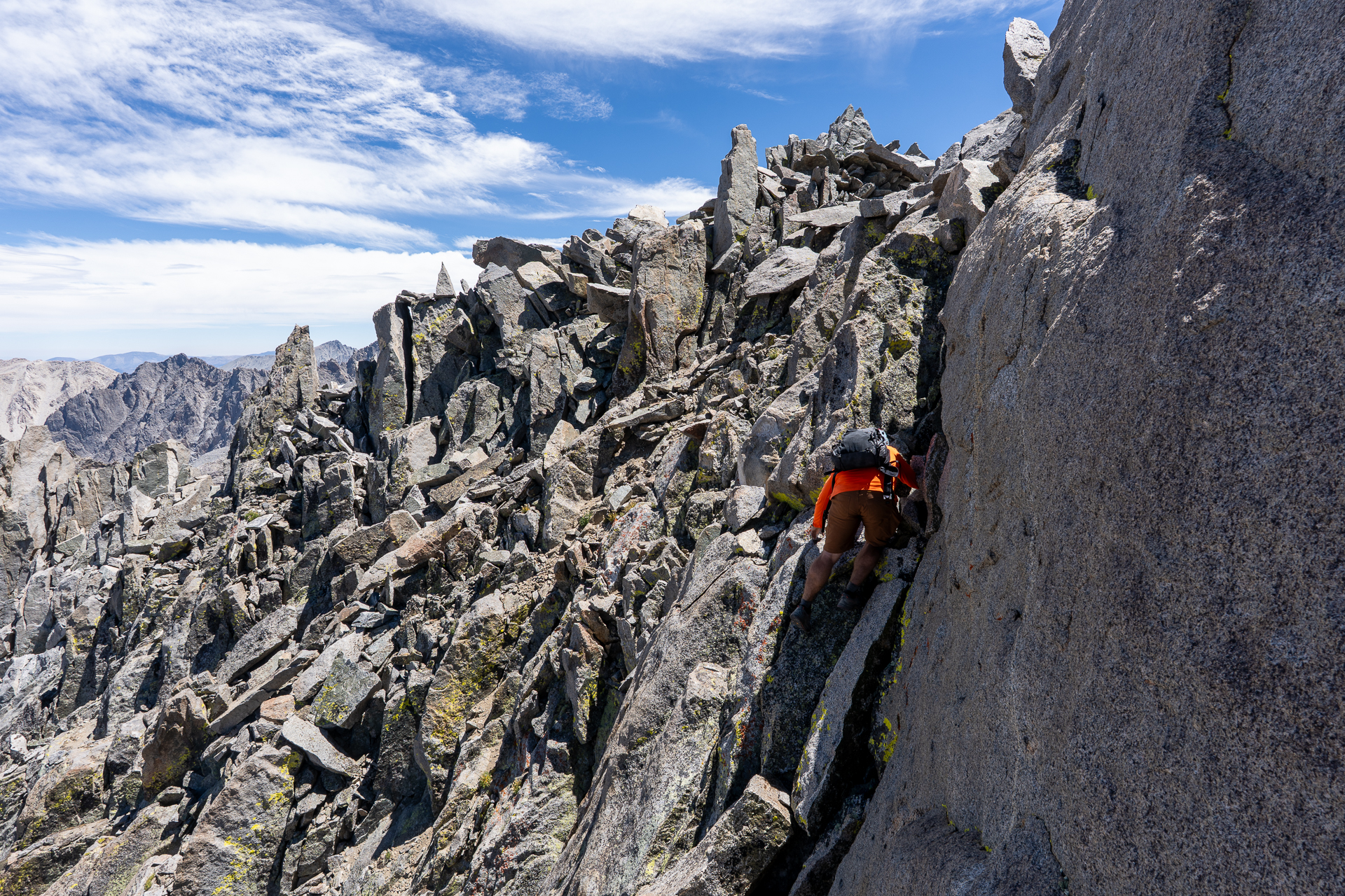
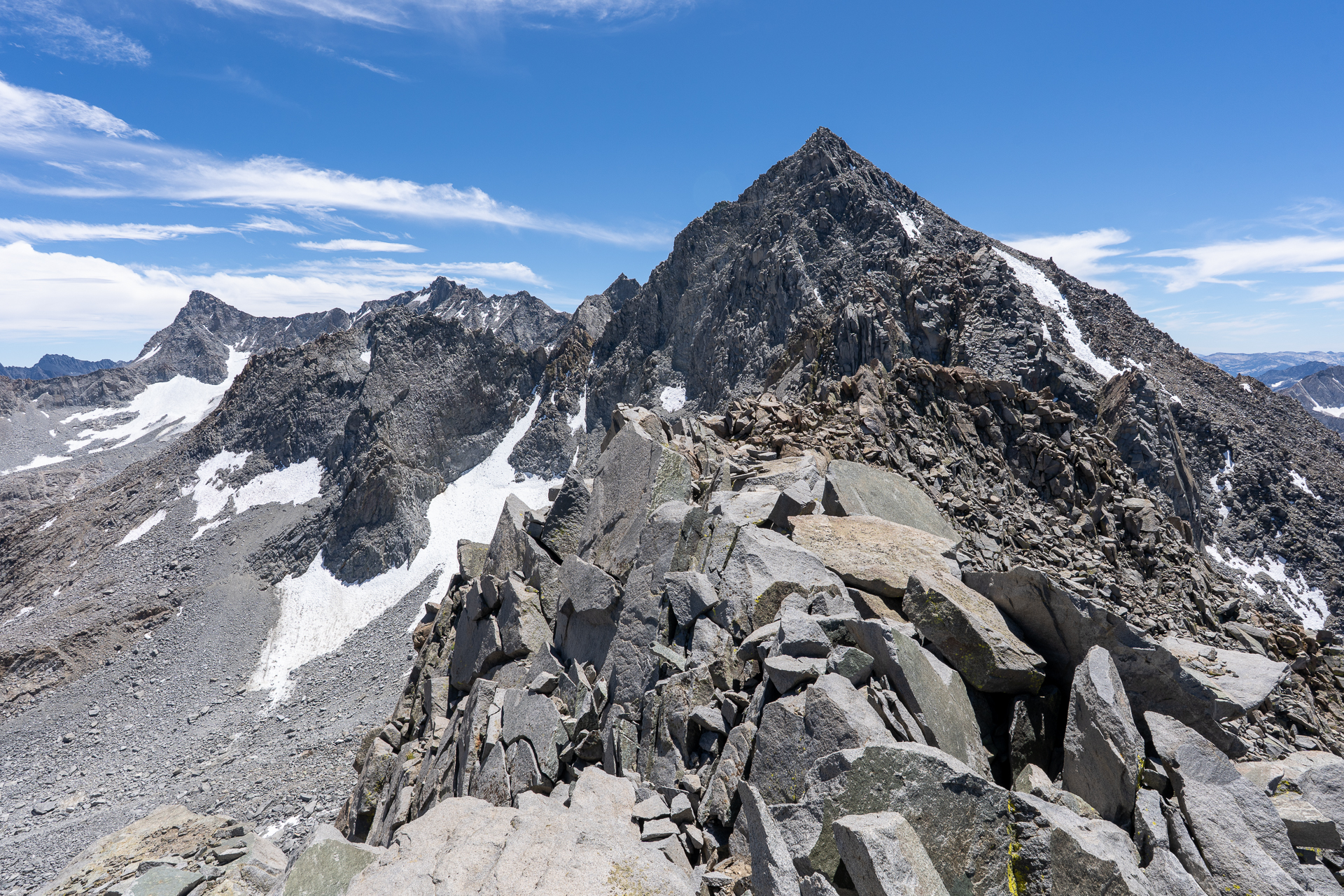
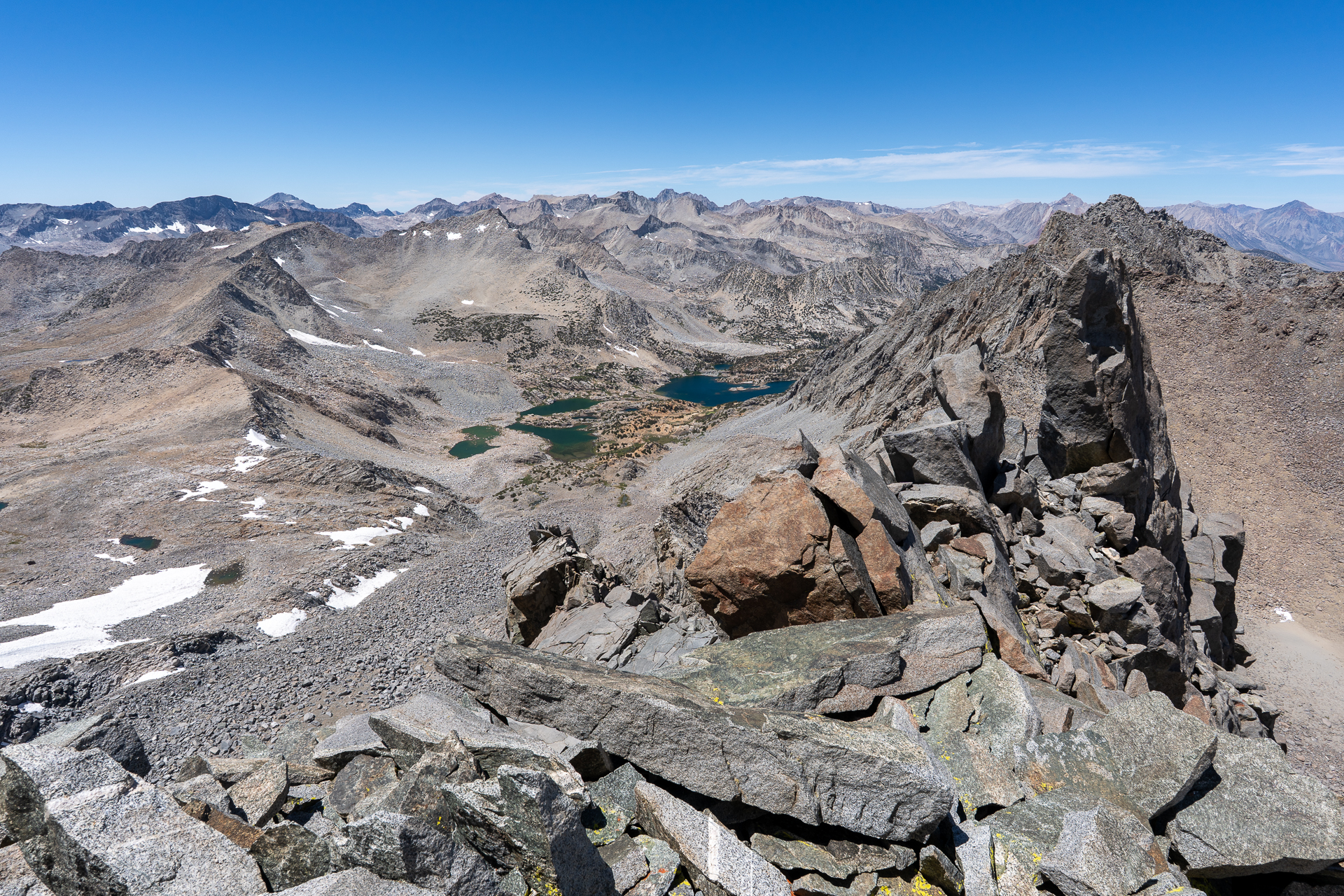
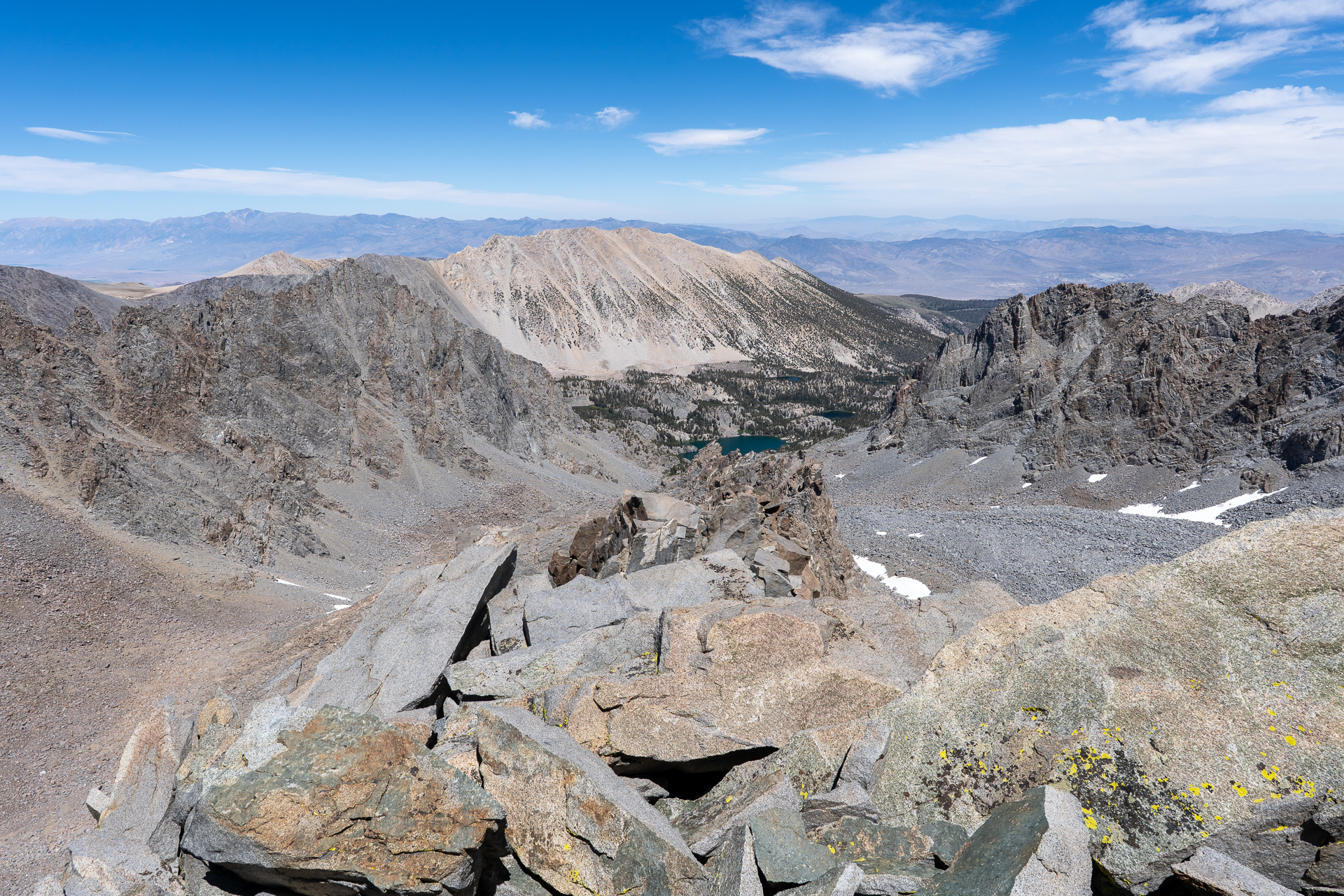
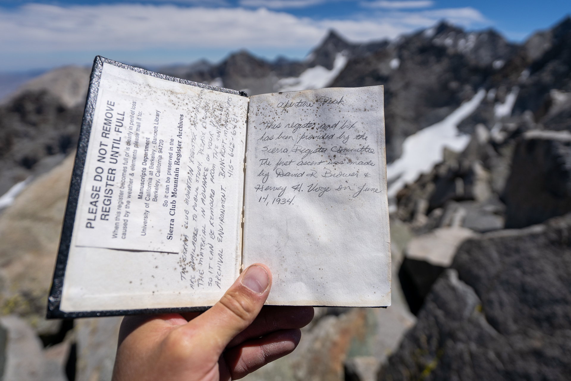
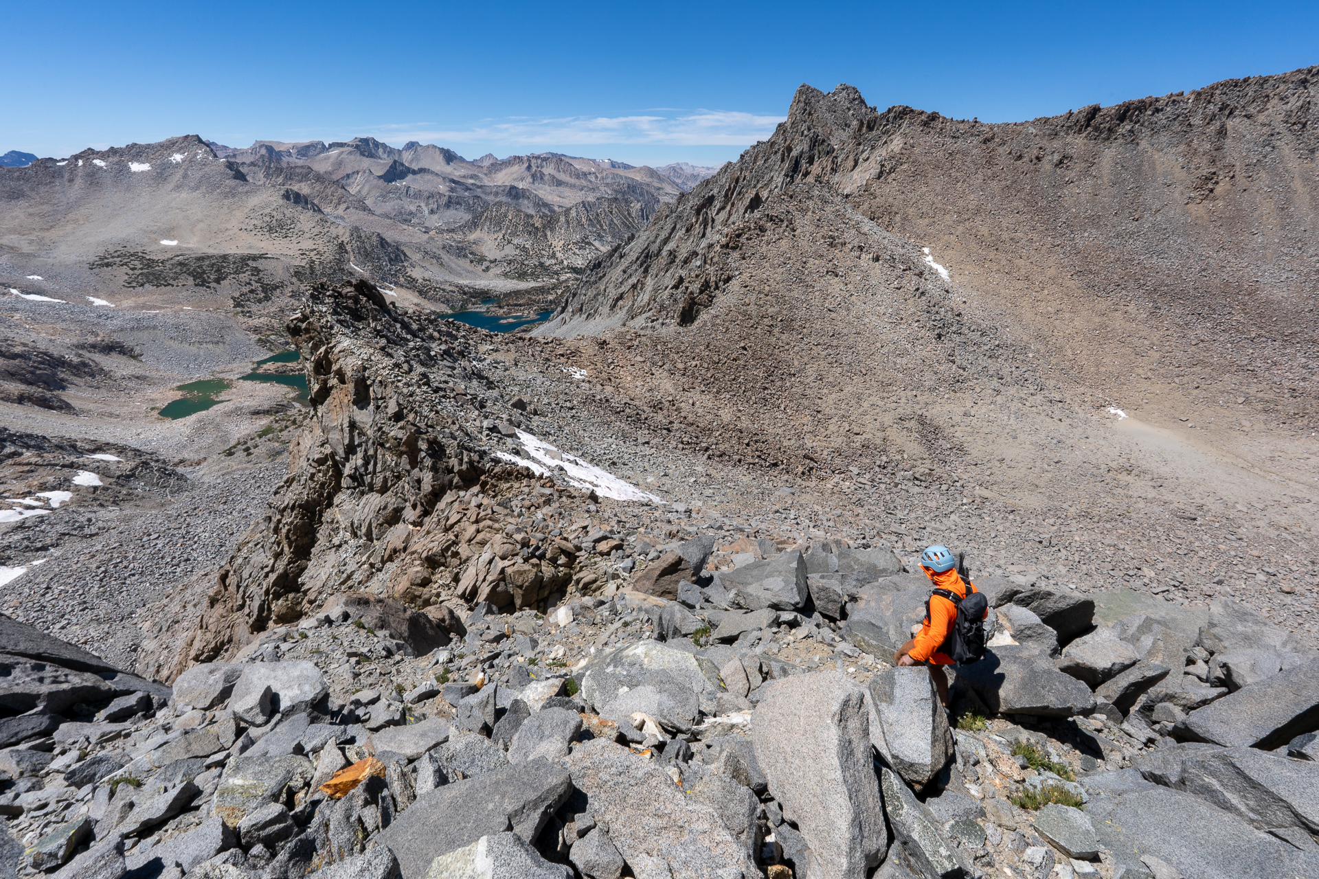
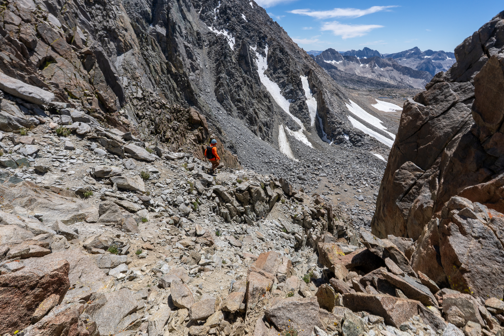
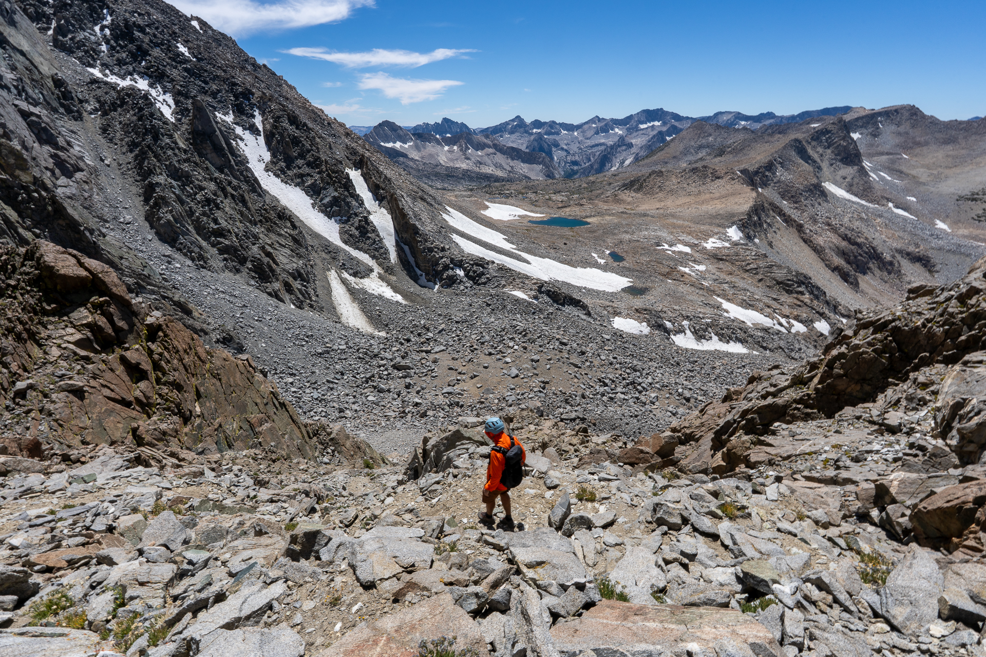
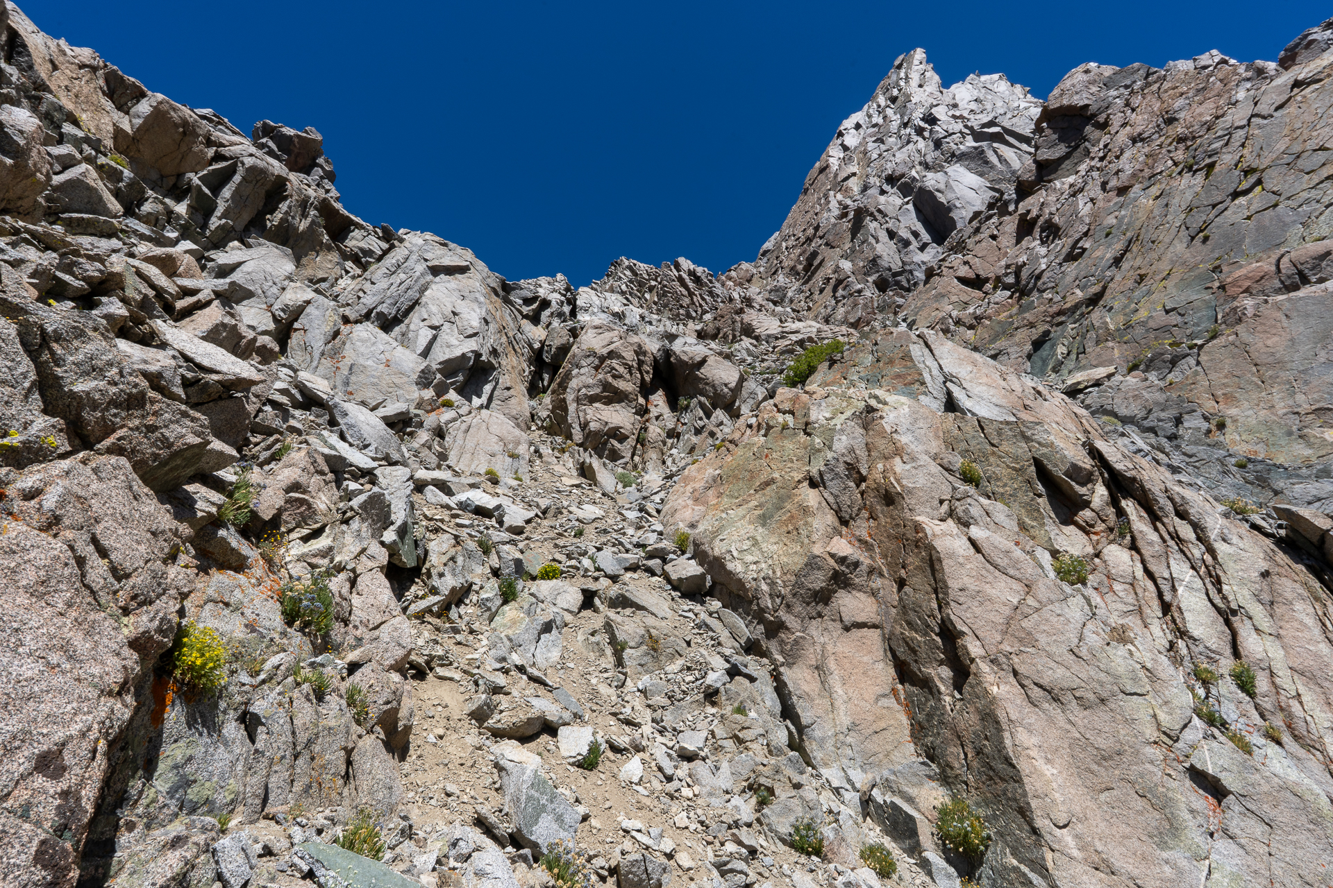
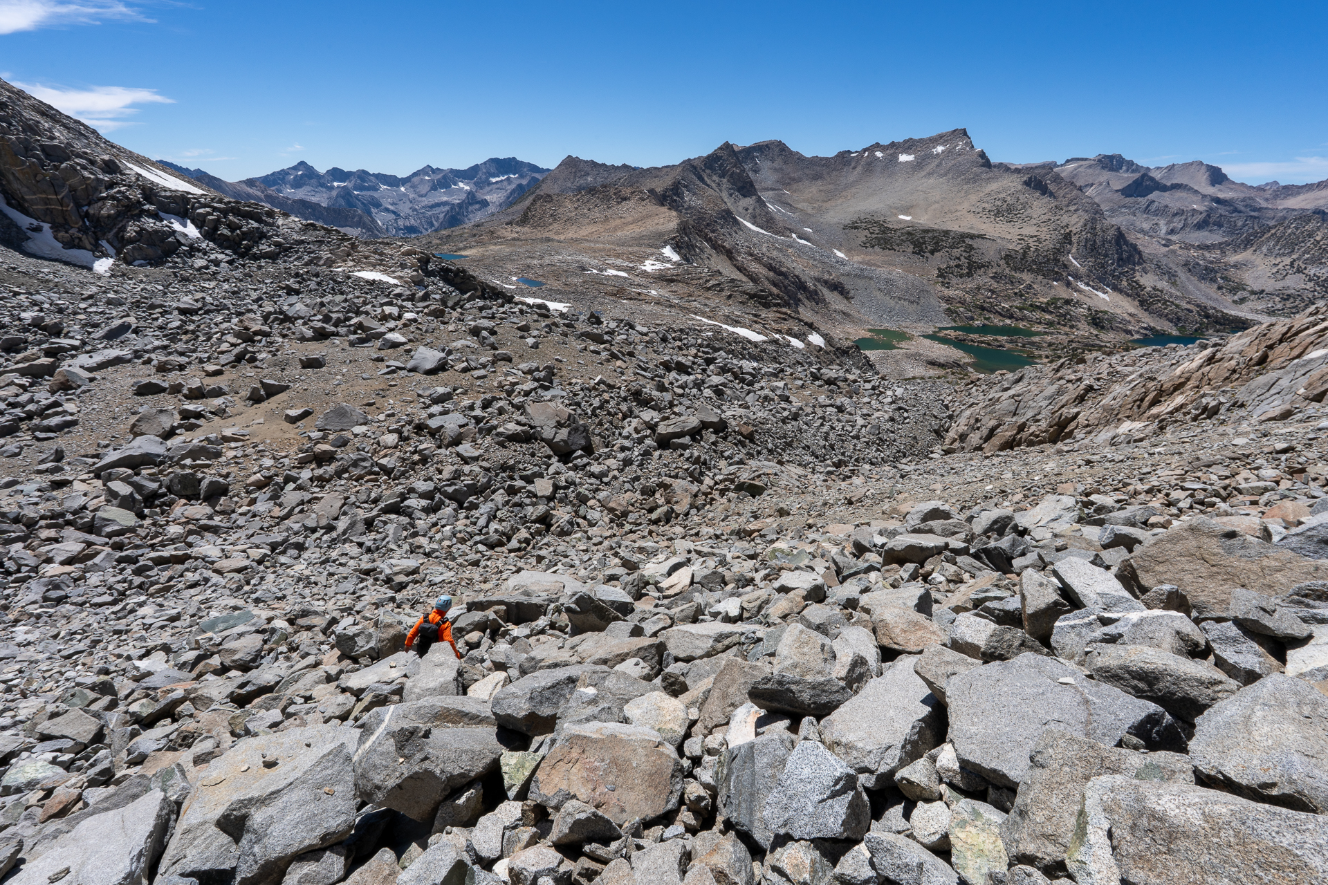
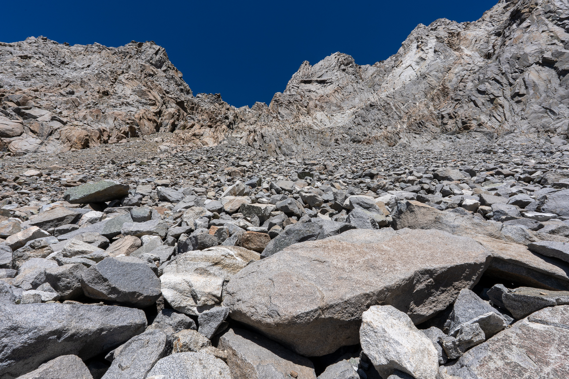
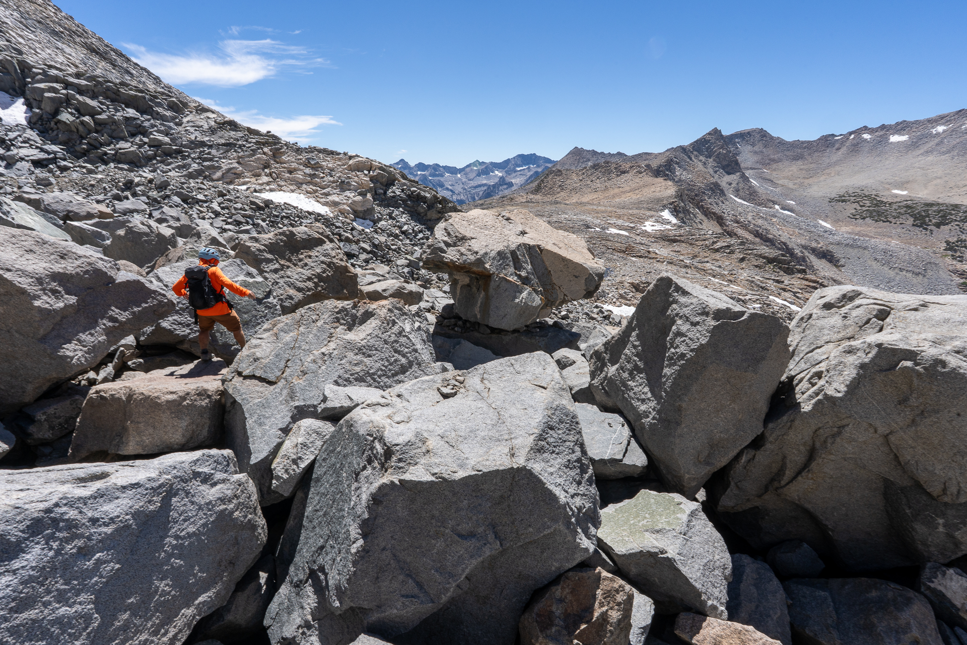
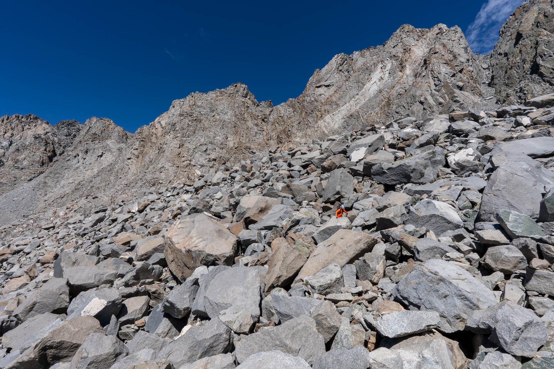
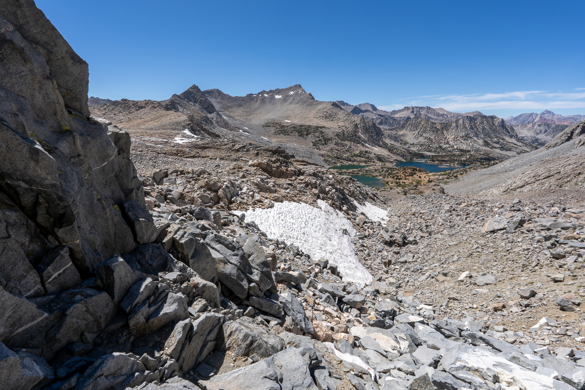
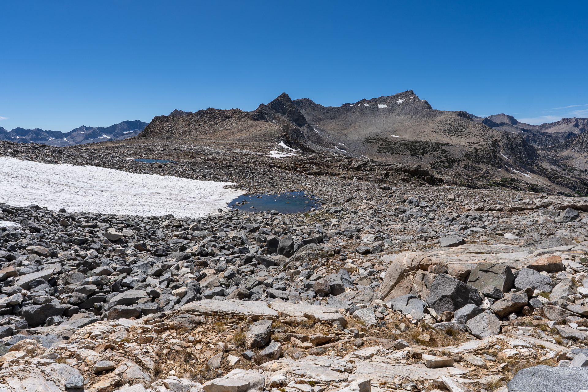
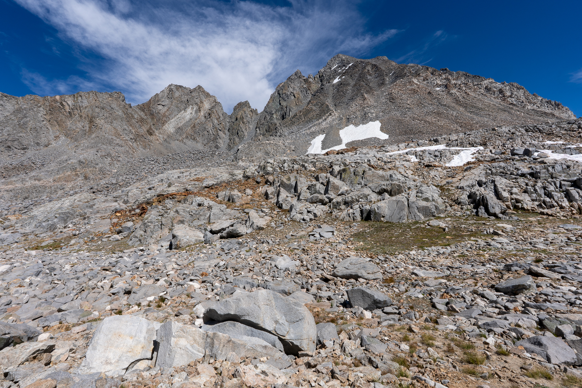
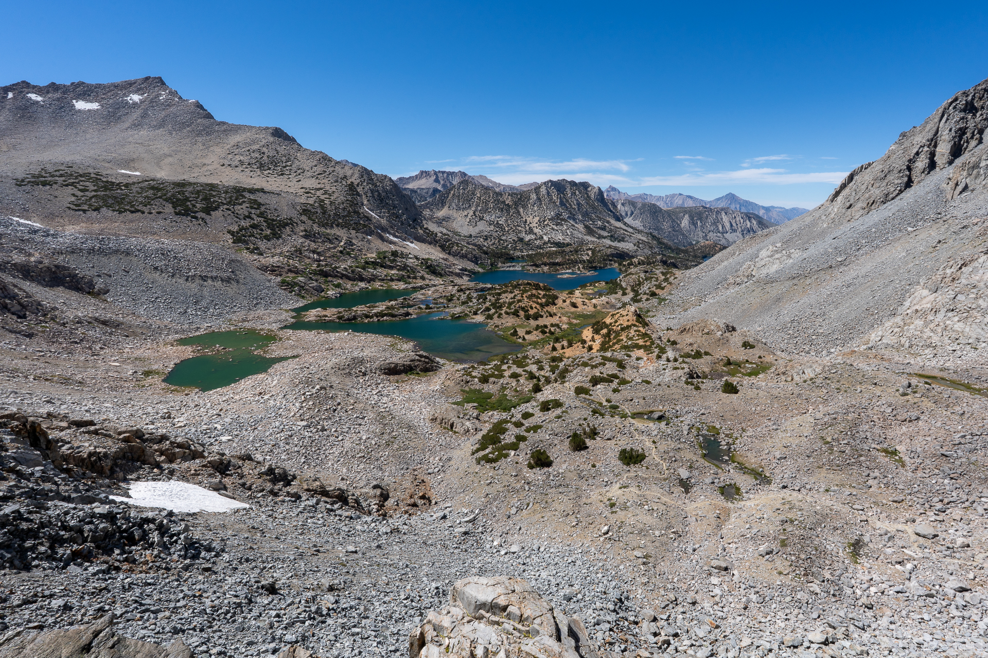
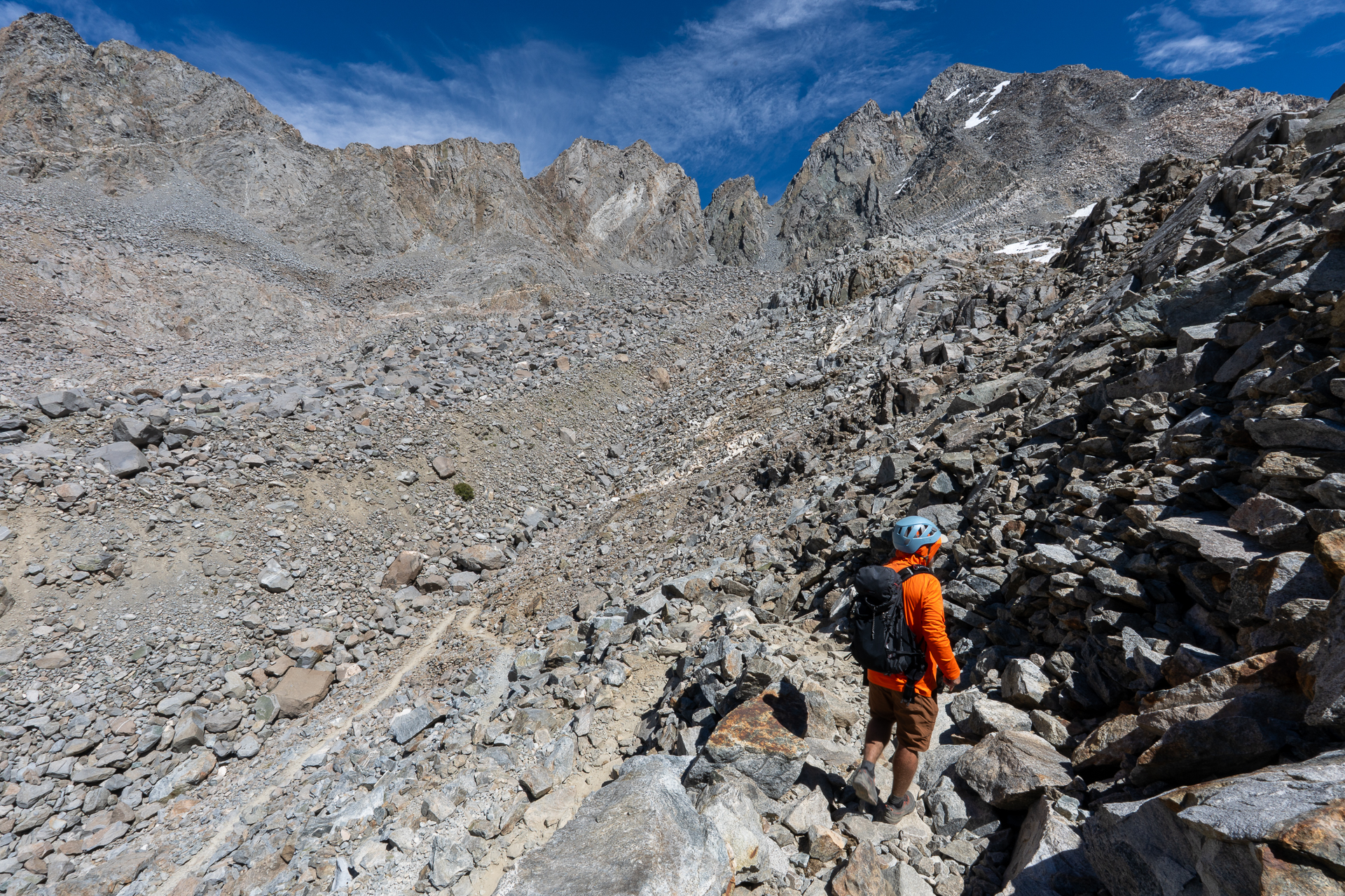
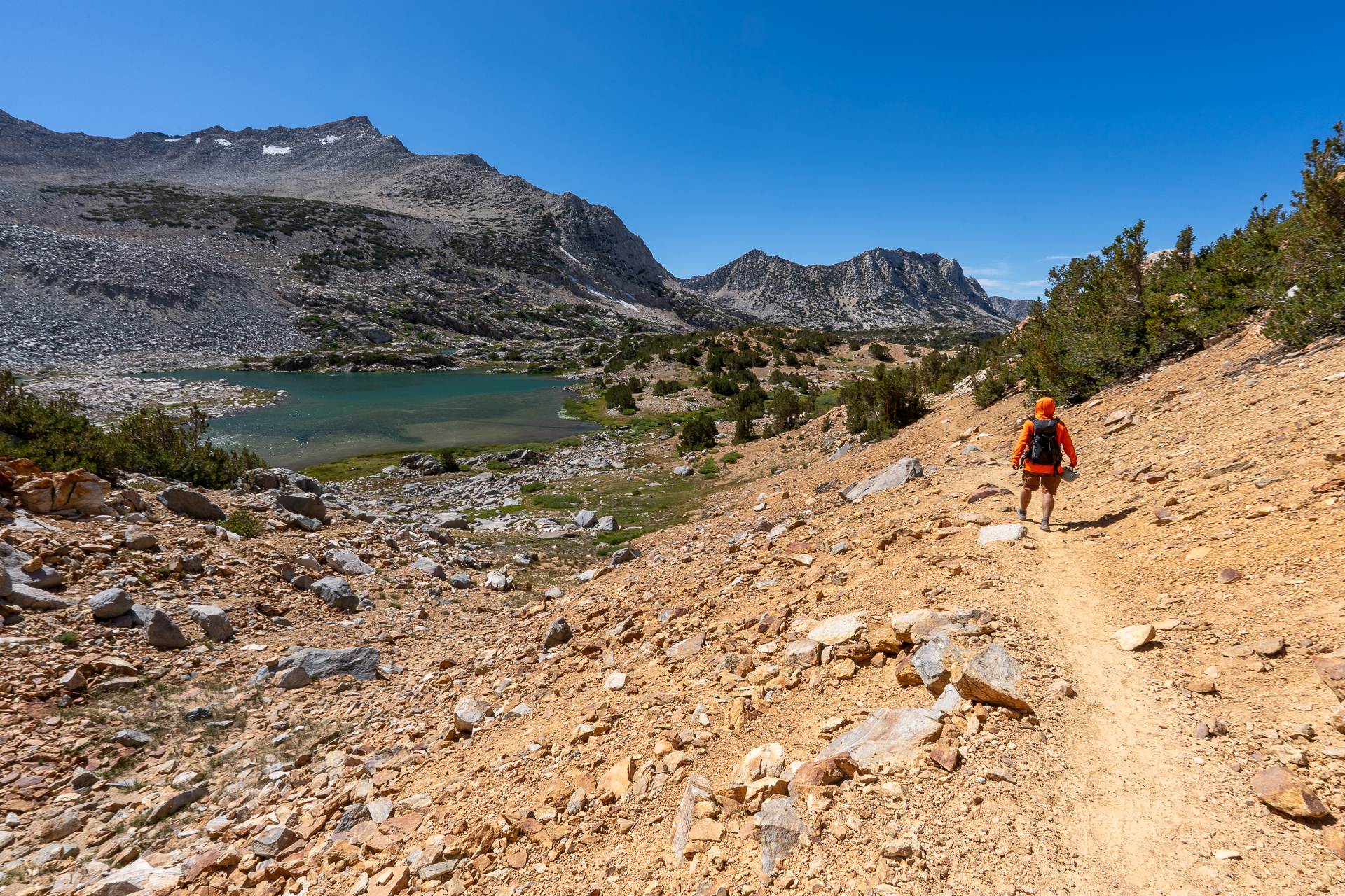
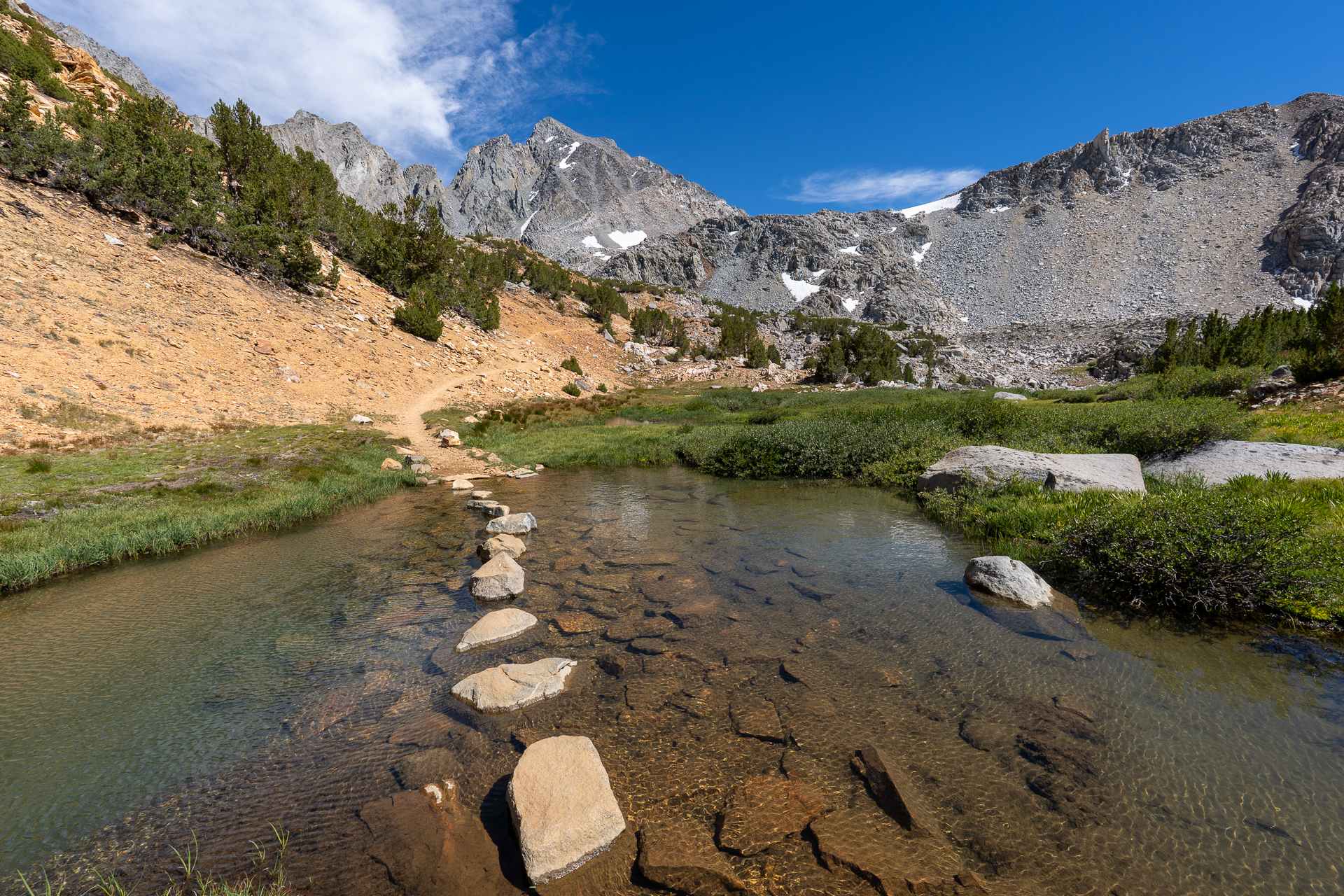
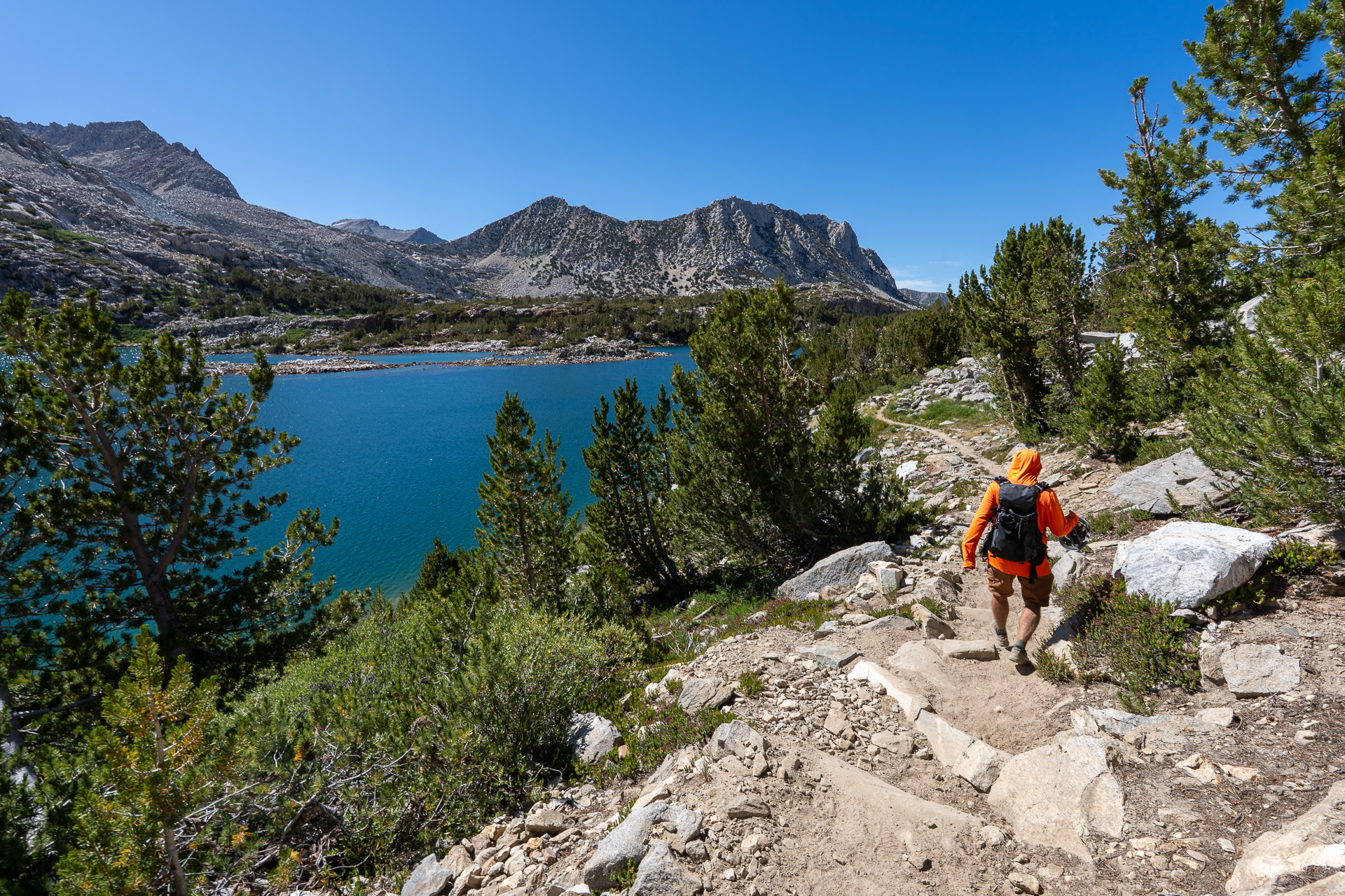
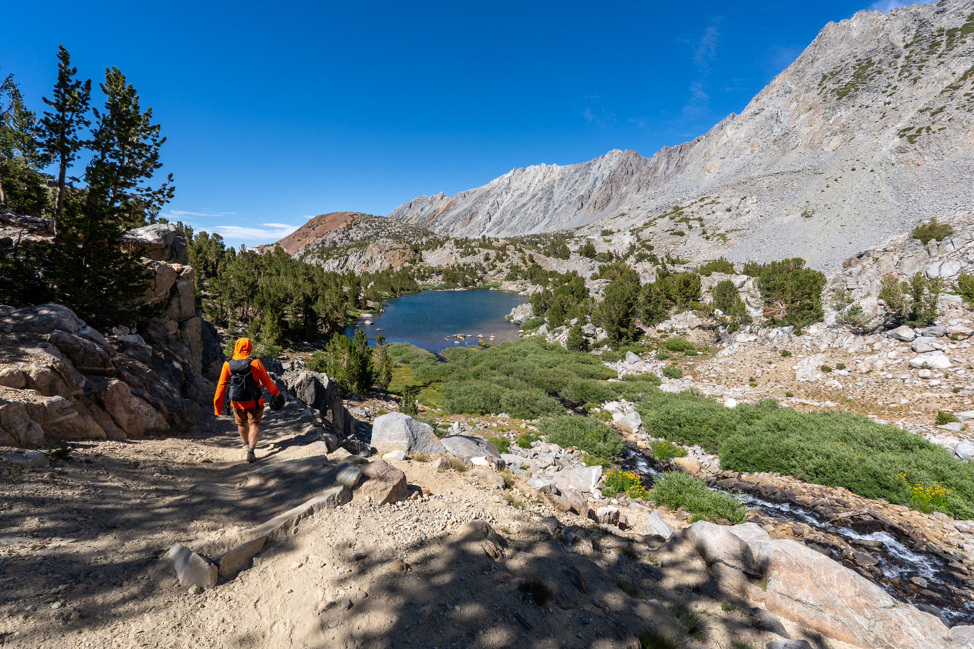
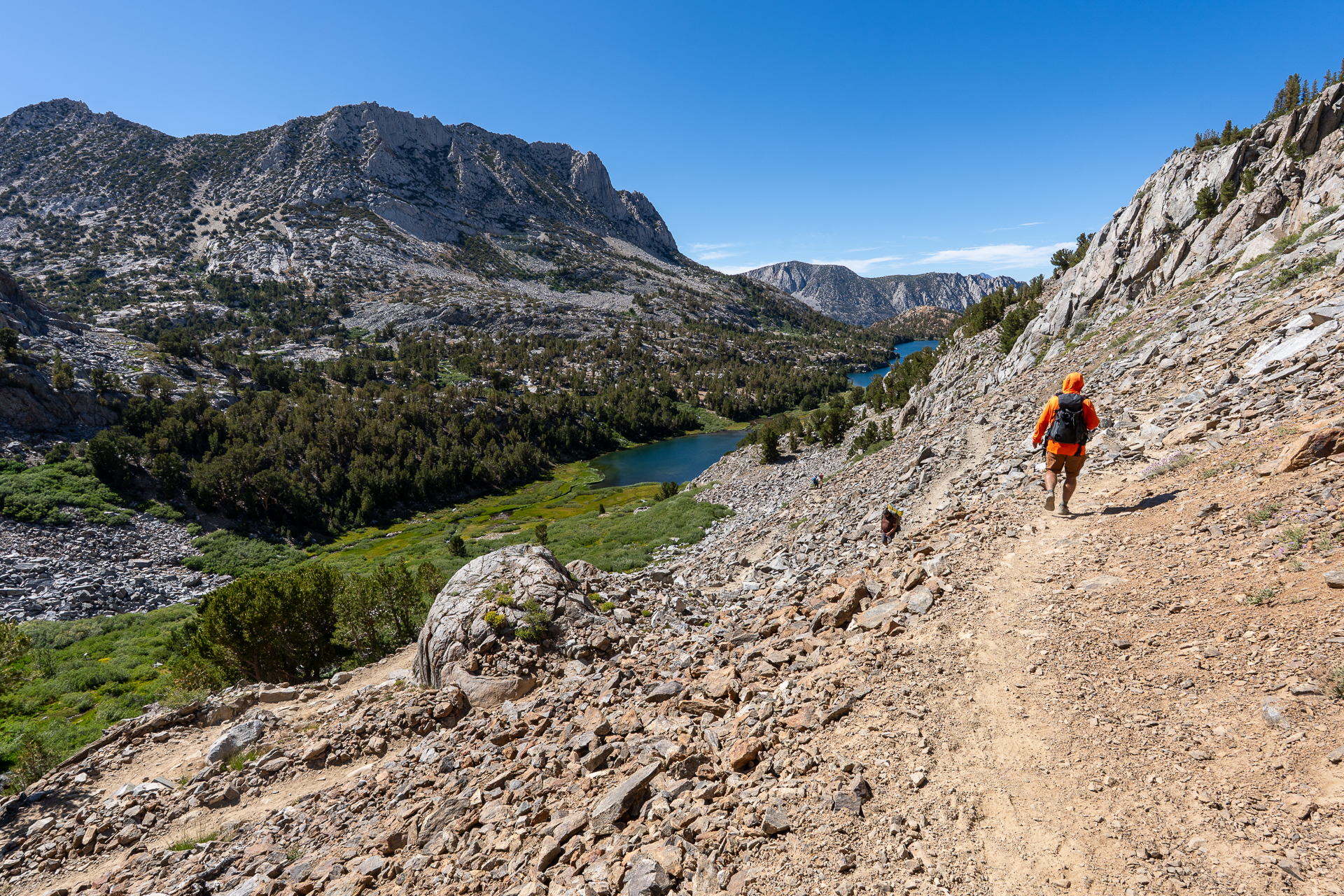
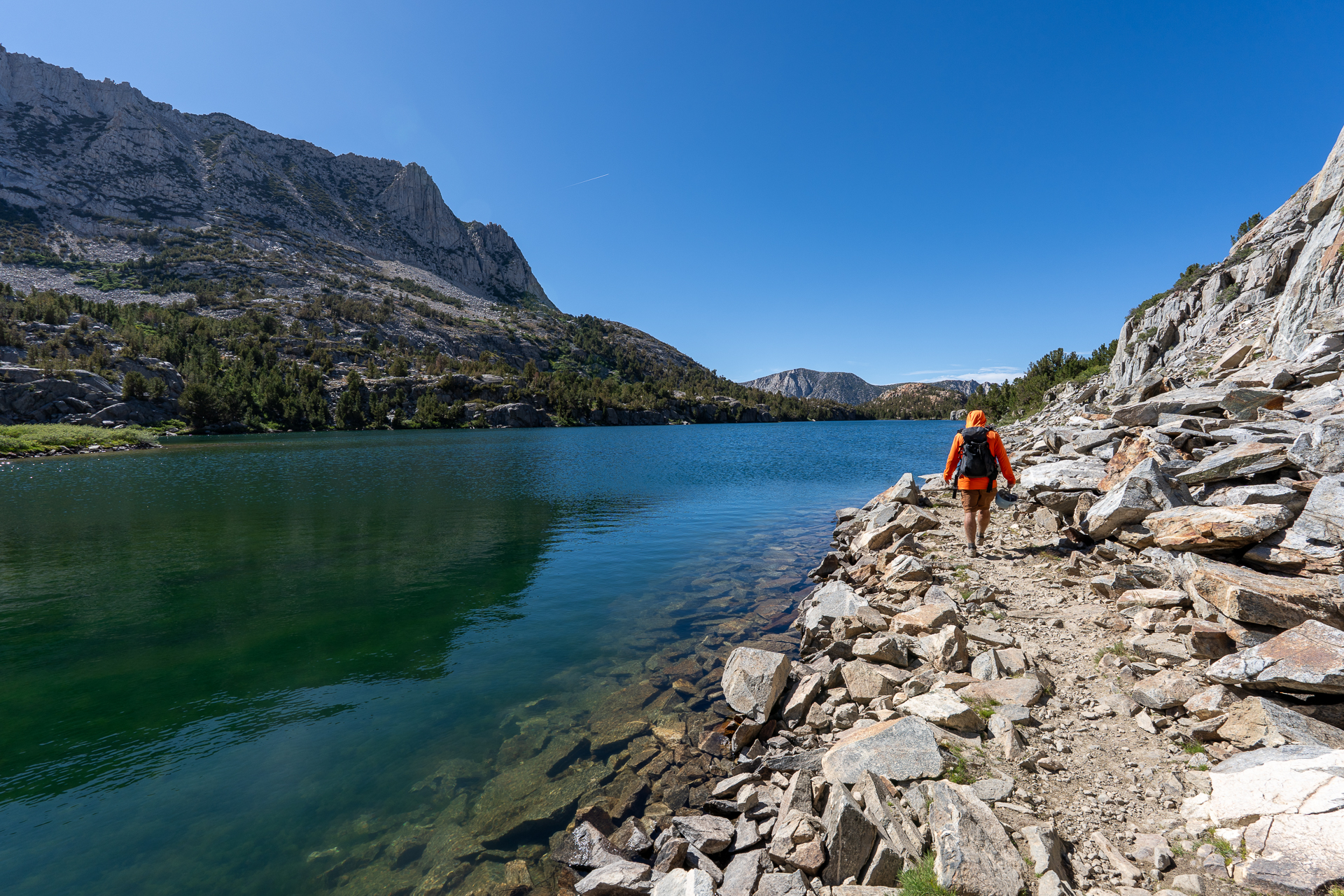
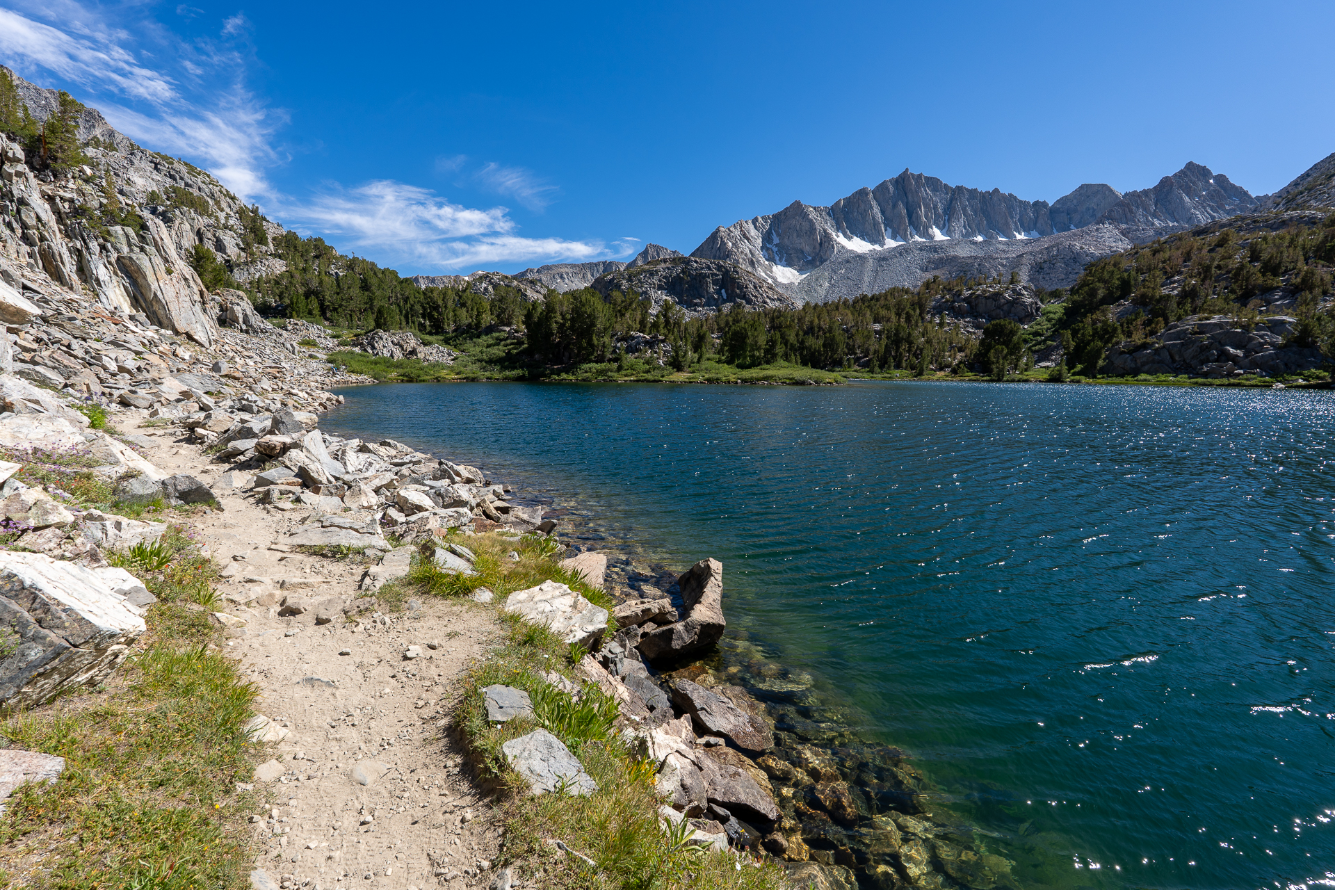
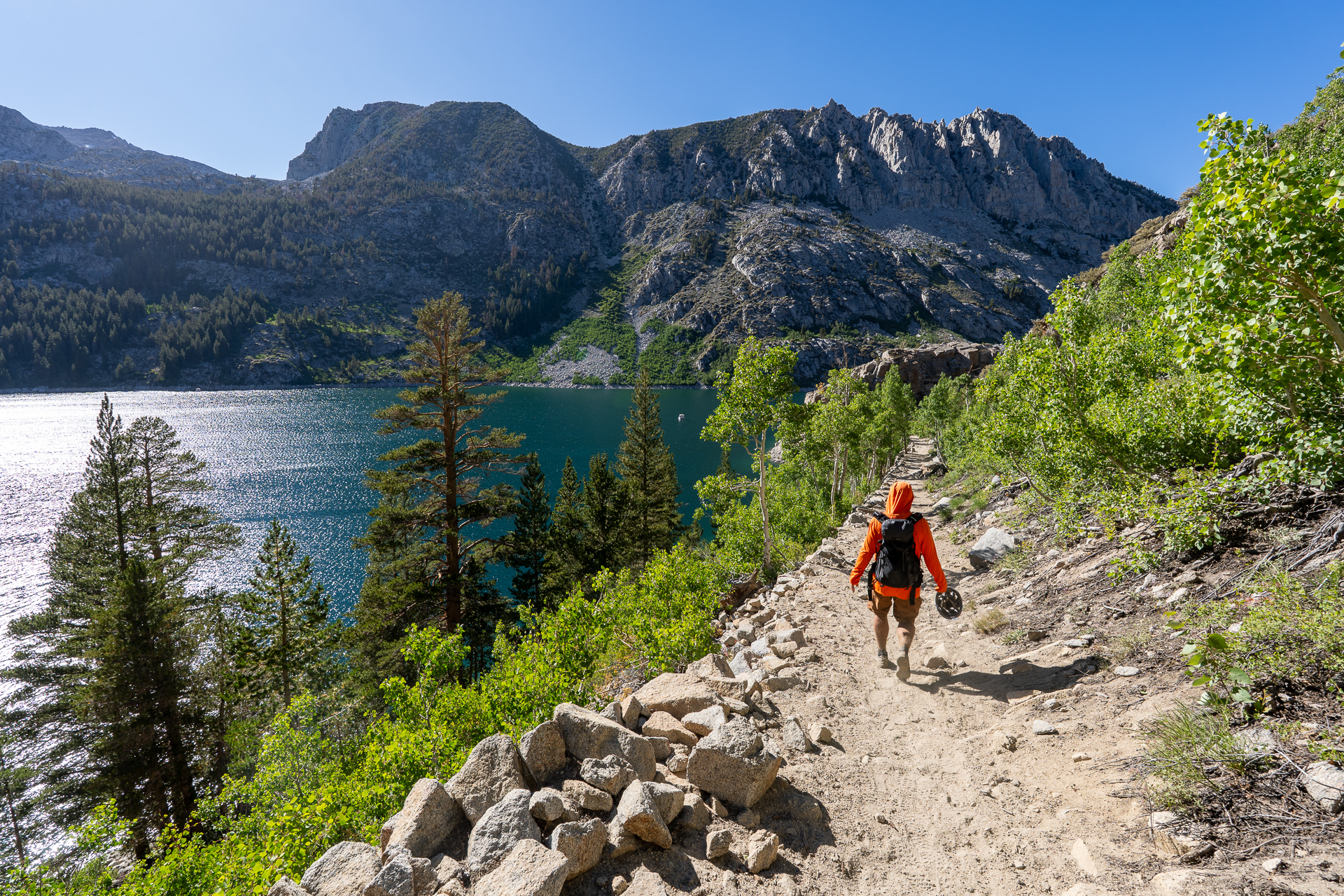
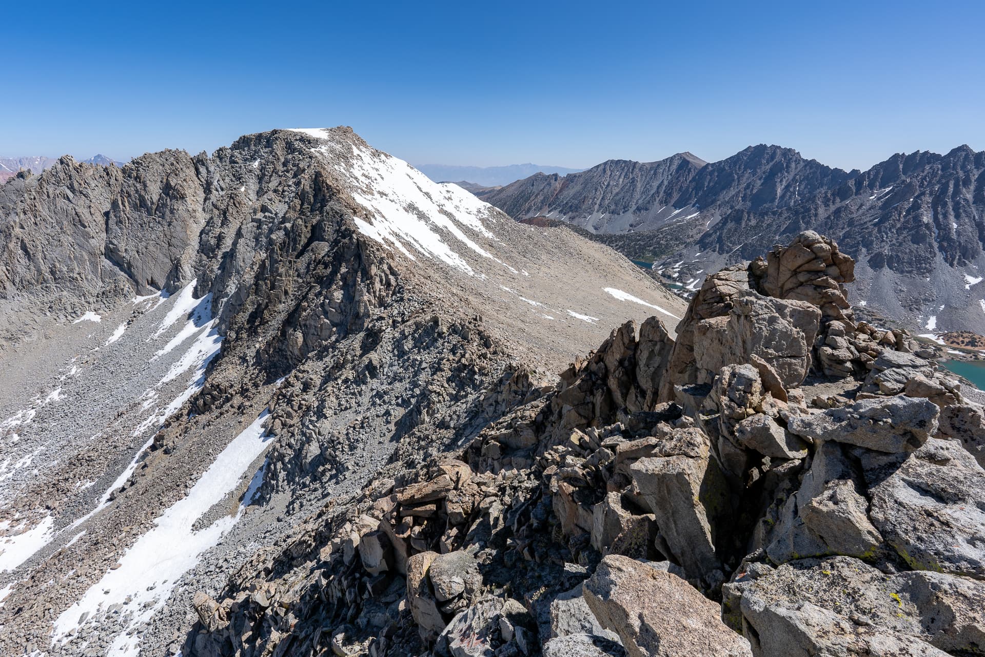
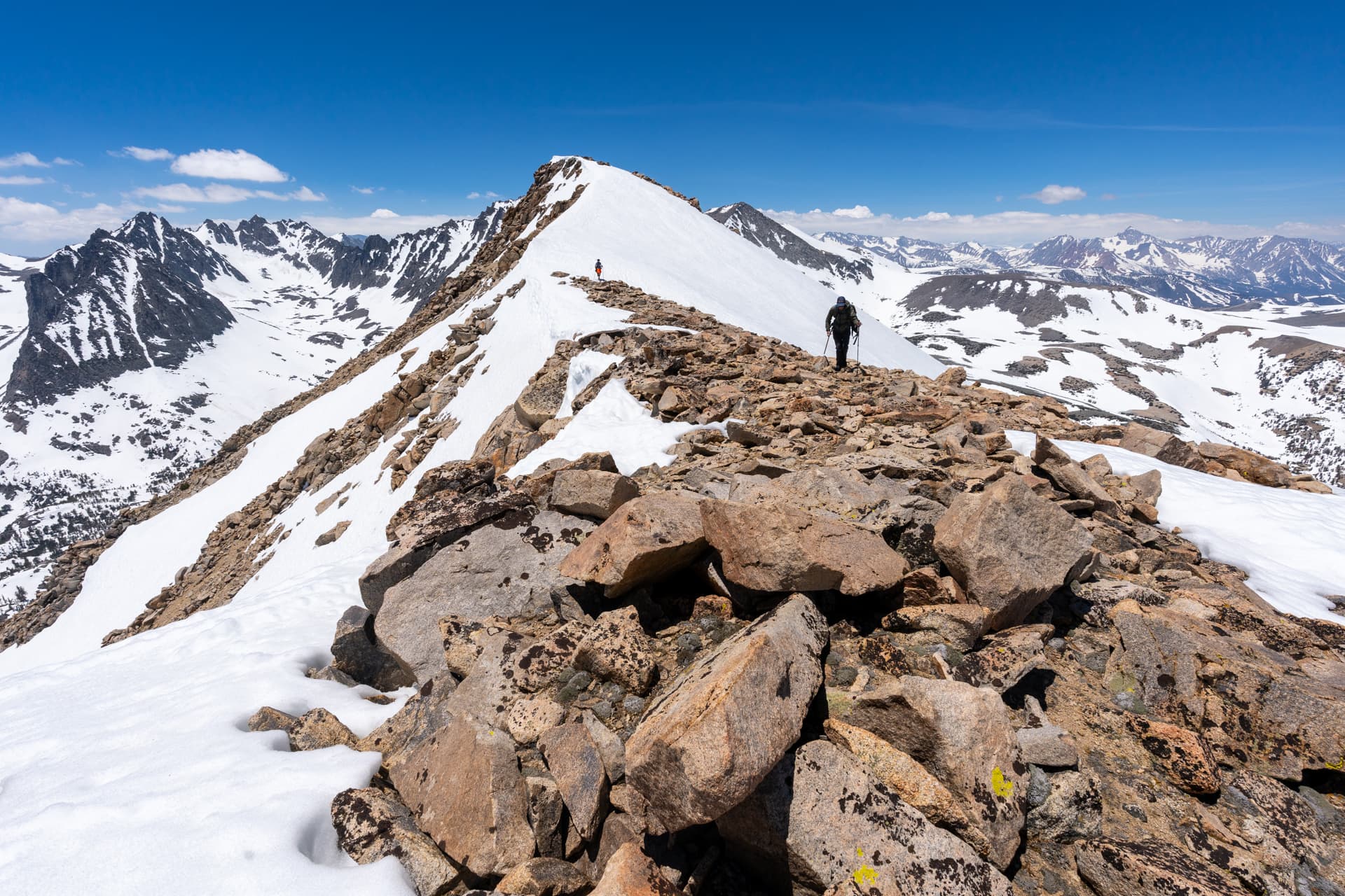
View of South Lake from the Bishop Pass Trail.Leaving the official trail near this boulder field for an old, more direct trail.Back on the Bishop Pass Trail, approaching Chocolate Peak.Joining the Ruwau Lake Trail.Passing Ruwau Lake.Leaving the trail at the north shore of Ruwau Lake, headed toward the north face of Picture Puzzle Peak.View back toward Ruwau Lake as we start up the north face.Approaching a minor cliff band.Class 2 weakness in the cliff band.Easy Class 2 boulder-hopping.View back.View toward Cloudripper's western escarpment.View back.Picture Puzzle Peak visible on the left.Class 5 terrain along the ridge crest. We backtracked a bit and dropped down to the east side of the ridge.View back toward Cloudripper and Vagabond Peak.View east along a moraine toward the upper Big Pine Lakes.Traversing a Class 2/3 ledge system on the east side of the ridge.Picture Puzzle Peak's summit ahead.View back at some spectacular, vertebrae-like pillars along the ridge crest.Short Class 3 downclimb to a northern col of Picture Puzzle Peak.Exposed traverse at the start of the ascent of Picture Puzzle Peak's north face.Class 2/3 above the traverse section.View back toward the col.Picture Puzzle Peak summit.View south toward Aperture Peak and the taller Mount Agassiz.View north toward Cloudripper (right) and Ruwau, Long and South Lakes (left).View east. Gendarme Peak is right of center.Returning to the col, descending a partially snow-filled northeastern chute.View back up the chute. Picture Puzzle Peak is on the top-left. We stuck to the talus on the right.Bearing right to minimize elevation loss.Entering a bowl. Gendarme Peak is top-left.Short snow field traverse.View down the bowl.Struggling up a crumbly slope to gain Gendarme Peak's west ridge.Following Gendarme Peak's gentle west ridge.View back toward Picture Puzzle Peak.Approaching the summit.Gendarme Peak summit. View east toward a series of namesake formations along the ridgeline. In the distance are Big Pine Lakes.View south toward Mount Agassiz and the Palisades Range.Traversing to a gendarme that appears to be about the same elevation as the USGS labeled summit.From the gendarme, view back toward the summit.View north toward Cloudripper.Continuing south toward Aperture Peak.Class 3 detour to climb a small bump (Peak 12856).Approaching Jigsaw Pass. (We would later begin our descent from a notch just past the pass.)View back toward Gendarme Peak (right of center) from Jigsaw Pass.Passing our chosen descent chute (indicated by a wooden post) as we start up Aperture Peak's north face.View back toward Jigsaw Pass.Class 3 pitch.The route wraps around the back side of the large slabs above.Exposed ledge just below the summit.Aperture Peak summit. View south toward Mount Agassiz and the Palisades Crest.View northwest toward Bishop Pass and Bishop and Saddlerock Lakes.View northeast toward Sky Haven and Big Pine Lakes.Summit register dating back to 1934.Returning to the notch.Starting down the steep chute, following remnants of an old pack trail.View back up the chute.Entering a moraine. Mount Goode is top-right.View back toward the notch.Leaping across a massive boulders field.View back.Hugging a cliff on the way toward the Bishop Pass Trail.Approaching Bishop Pass.View back toward Aperture Peak (left of center, above the wide white rock band).Joining the Bishop Pass Trail.Great view of the Bishop and Saddlerock Lakes basin from the trail.Descending the switchbacks below Bishop Pass. Our descent chute is visible above.View back from a crossing of an outlet of Bishop Lake.Saddle Rock Lake.Long Lake.View back.Returning to South Lake after closing our loop.