Red Mountain

San Bernardino County, CA

Info

Distance
4 mi
Elevation gain
1,600 ft
Route type
Out & back
Duration
2 hr
Crux
Class 1
Quality
3/10
Vehicle type
High clearance

Peaks bagged

1
Red Mountain
HPS
HPS★
Zdon
5,261 ft / Rise 2,061 ft

Trip report

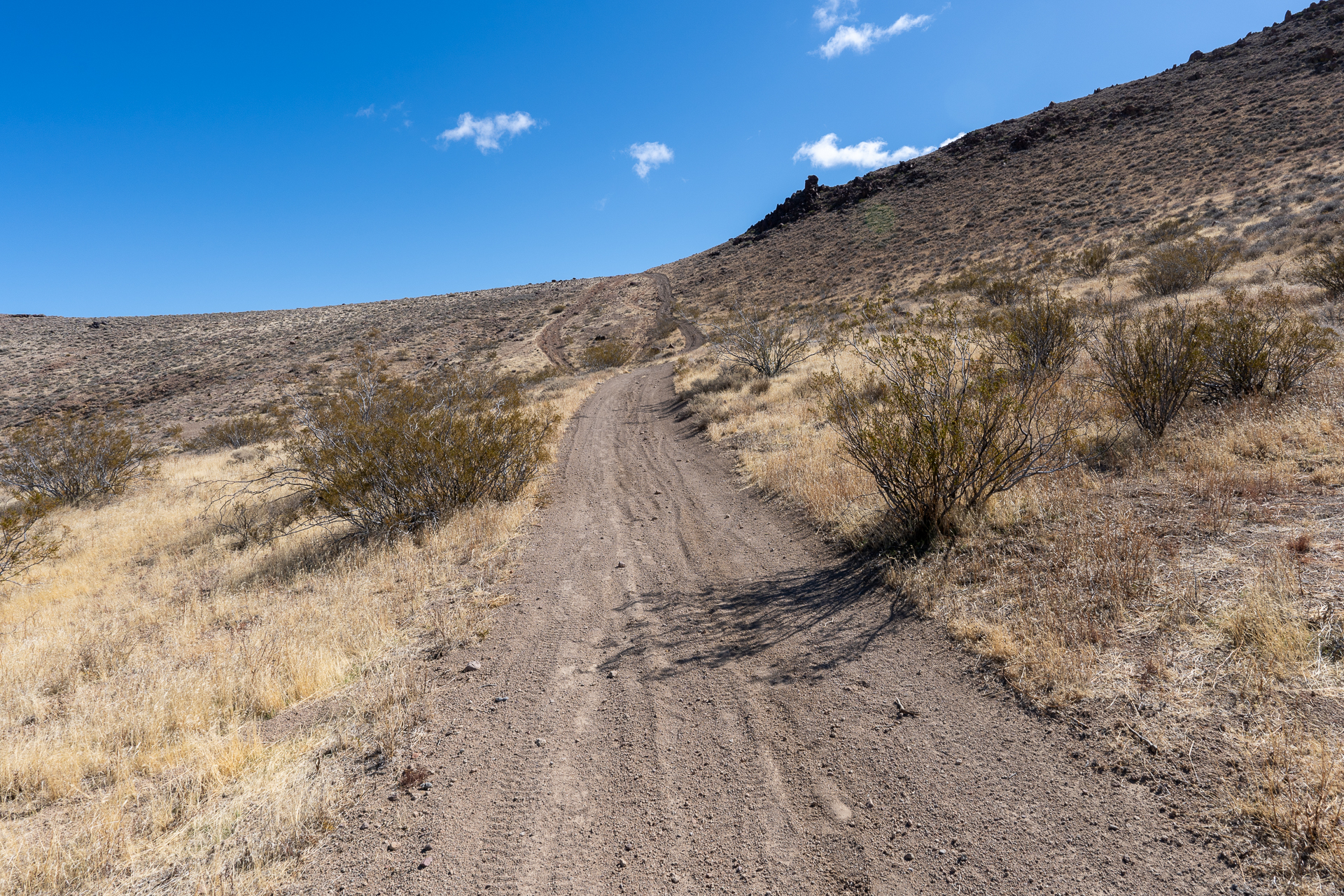
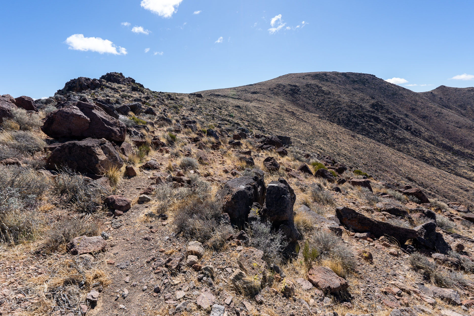
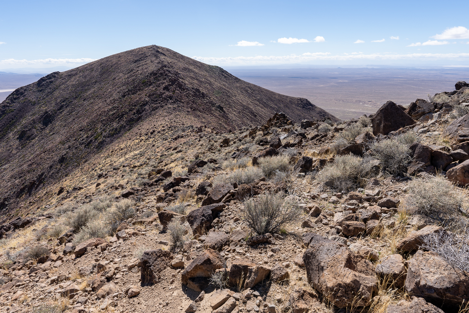
Red Mountain is a prominent volcanic cone in the western Mojave Desert. From the 2WD trailhead near the junction of Trona Road and Highway 395, drive east along a dirt road named "BLM RM0108", keeping left at a fork. I parked around 3,800 feet at the base of a steep hill.

Trip report photo for Red Mountain
Starting along the road, climbing to the saddle ahead.
Trip report photo for Red Mountain
View back toward the town of Red Mountain.
Trip report photo for Red Mountain
Arriving at the saddle.
Trip report photo for Red Mountain
From the saddle, turning right onto a single-track trail.
Trip report photo for Red Mountain
Joining an OHV road as it climbs to a minor saddle, ahead.
Trip report photo for Red Mountain
Flat section after the minor saddle.
Trip report photo for Red Mountain
The OHV road ends at this slope. A use trail climbs to the ridge.
Trip report photo for Red Mountain
Following the broad ridge to a false summit.
Trip report photo for Red Mountain
View back. Dome Mountain, high point of the Golden Valley Wilderness, is on the right.
Trip report photo for Red Mountain
Descending the false summit to a northern saddle of Red Mountain, visible ahead.
Trip report photo for Red Mountain
View back toward the false summit from Red Mountain's north slope.
Trip report photo for Red Mountain
Approaching the summit.
Trip report photo for Red Mountain
Red Mountain summit.
Trip report photo for Red Mountain
View south.
Trip report photo for Red Mountain
View northwest.

Nearby trips

Black Mountain
Black Mountain
3.6 mi1,600 ft2 hr
Five Fingers
Five Fingers
1.8 mi1,700 ft2 hr