West Ord Mountain

San Bernardino County, CA

Trip info

Distance3.3 mi
Elevation gain1,500 ft
Route typeOut & back
Duration1.5 hr
CruxClass 2
Quality4/10

Peaks bagged

1
West Ord MountainZdon5,525 ft / Prom. 1,085 ft

Trip report

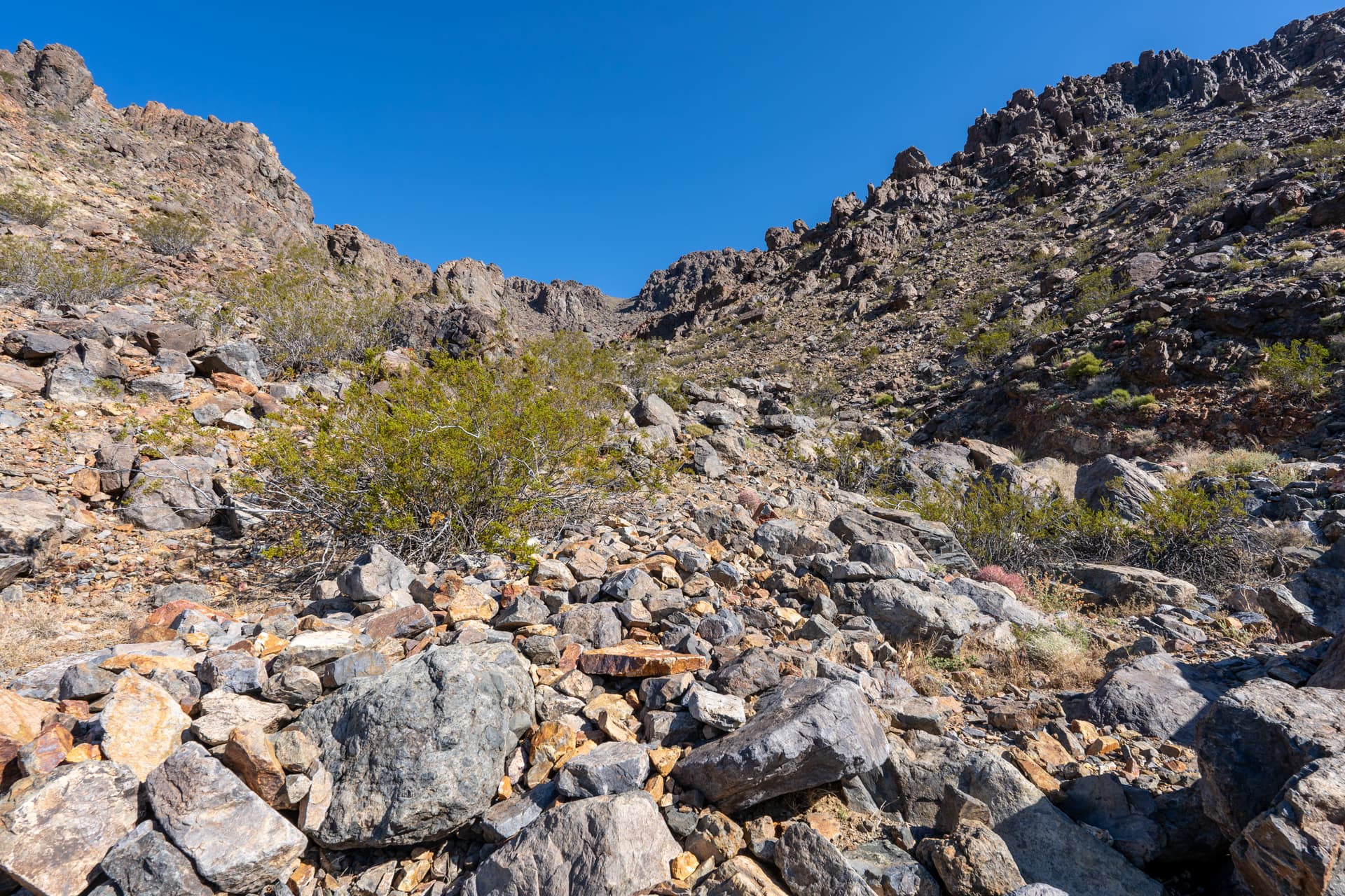
From State Route 247, I turned here onto a dirt road. After about 1.3 miles, I parked at a cattle guard and headed cross country up a gentle west spur of West Ord Mountain.

Starting at this cattle guard, headed up the slope on the right.
View back toward the dirt road.
Contouring toward a small saddle.
Continuing up the spur. West Ord Mountain is on the right.
View back.
Reaching a plateau below the summit.
View back.
Contouring right.
West Ord Mountain summit on the right.
West Ord Mountain summit. View south.
View north, the way I came.
View east toward Ord Mountain (left) and East Ord Mountain (right), both climbed earlier in the day.

Nearby trips

Ord Mountain
Ord Mountain
5.2 mi1,900 ft2 hr
East Ord Mountain
East Ord Mountain
2.9 mi2,100 ft2 hr
Bertha Peak
Bertha Peak
7.5 mi1,400 ft2.5 hr