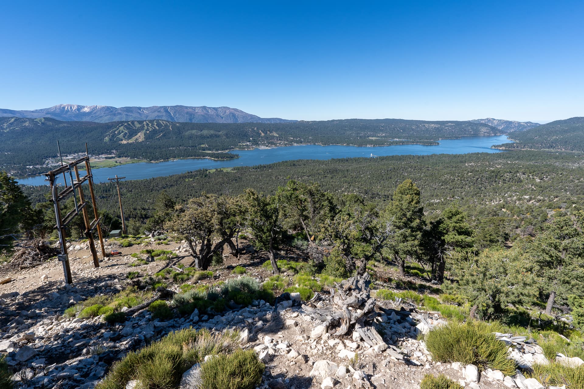
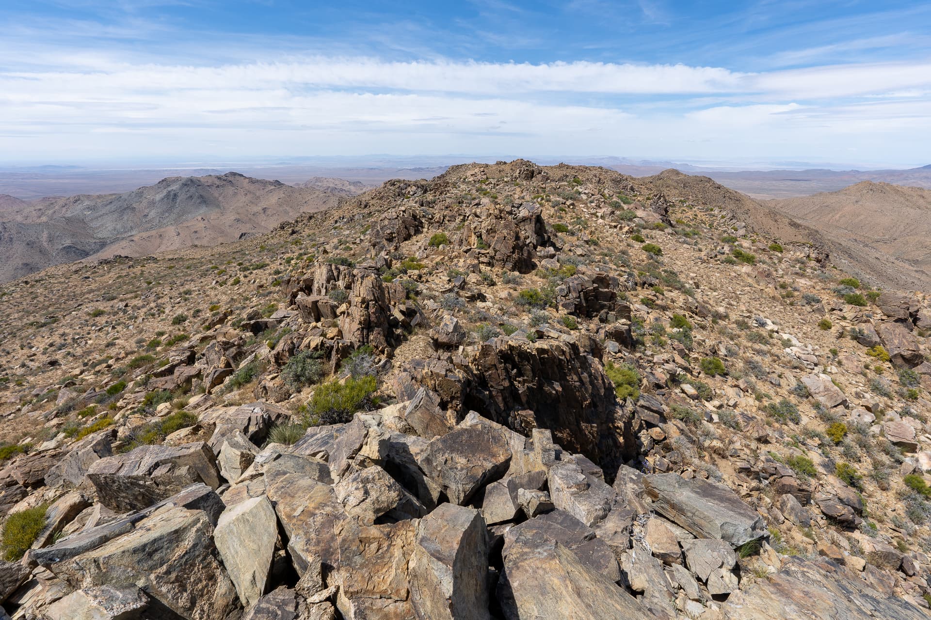
Grays Peak Trailhead.Continuing along Grays Peak Trail after it briefly merges with a dirt road.View back toward Delamar Mountain.Cool spire-like formation along the trail.Great views on the upper half of the trail. Hanna Rocks, a reportedly fun Class 3 climb, is on the far right.View back.The trail wraps around Grays Peak (left).Grays Peak summit ahead.Short cross country section on the east slope.Grays Peak summit. View south toward Big Bear Lake (left), Sugarloaf Mountain (center-left), and San Gorgonio Mountain (right).View east.On the return, a cute little mouse beside the trail.