San Bernardino Mountain Loop via Forsee Creek Trail

San Gorgonio Wilderness, CA

Info

Distance20.1 mi
Elevation gain5,400 ft
Route typeLoop
Duration8.5 hr
CruxClass 2
Quality7/10

Peaks bagged

1
Alto Diablo10,563 ft / Prom. 123 ft

2
Shields Peak(HPS)10,680 ft / Prom. 80 ft

3
Anderson Peak(HPS)10,840 ft / Prom. 840 ft

4
San Bernardino East Peak(HPS)10,691 ft / Prom. 171 ft

5
San Bernardino Peak(HPS)10,649 ft / Prom. 209 ft

6
Gerhardt Peak8,574 ft / Prom. 54 ft

HPSHundred Peaks Section

Report

Forsee Creek Trailhead.
The dirt road continues briefly past the trailhead, but soon gives way to a proper single-track trail.

A fork about a mile from the trailhead, marking the start of the loop. My route stayed left toward Jackstraw Springs and returned via Johns Meadow Trail.
Slightly overgrown.
Through the burnt trees, the town of Seven Oaks to the south.
A landslide that took a section of trail with it.
View up the gully from the bottom of the landslide.
Continuing along the trail.
The trail cuts through a recent burn area. It was eerie wandering through this monochrome, lifeless landscape.
View of East San Bernardino Peak from the trail.
The trail forks around the 10,400 foot mark. I stayed left, continuing east along San Bernardino Peak Trail toward Shields Peak, visible center.
The trail skirts around the base of Shields Peak to the north.
Looking up at Alto Diablo from a switchback on its southern slope.
Alto Diablo summit. View southeast toward Charlton Peak, Jepson Peak, and San Gorgonio Mountain.
View north toward Shields Peak, my next destination.
I retraced my steps to the east slope of Shields Peak.
Class 2.
Summit ahead.
Shields Peak summit. View west toward Anderson Peak.
Alto Diablo to the southeast.
View north toward Seven Oaks.
Descending the west slope of Shields Peak toward Anderson Peak (top-left).
Trail marker near Anderson Flat Camp. Continuing straight along the ridge.
Following San Bernardino Peak Trail toward Anderson Peak.
I left the trail here and hiked cross-country to the summit.
Anderson Peak summit sign.
View west toward San Bernardino Peak East.
Descending cross-country along Anderson Peak's west ridge.
Approaching the saddle between Anderson Peak and San Bernardino Peak East.
San Bernardino Peak East summit ahead.
San Bernardino East summit. View west toward the slightly taller (and much more frequented) San Bernardino Peak.
View east toward Anderson Peak.
To the southeast, San Gorgonio Mountain and San Jacinto Peak.
Directly south, Yucaipa Ridge and the town of Forest Falls.
A couple switchbacks on the descent.
San Bernardino Peak ahead. Less than a mile to the summit from here.
San Bernardino Peak summit
San Bernardino Peak summit.
Descending along San Bernardino Peak Trail. Much of this area was badly burned.
Gerhardt Peak ahead.
Ascending the charred, southeastern slope.
Gerhardt Peak summit register. View south toward San Bernardino Peak.
Back on the trail.
At this fire-damaged post, the faint Johns Meadow Trail branches off to the right.
Along Johns Meadows Trail.
Dropping into Forsee Creek.
Vegetation devouring the trail at the crossing.
Looking back at Forsee Creek. The trail continues to the right. After about 3 miles it intersects with Forsee Creek Trail, completing the loop.

Nearby trips
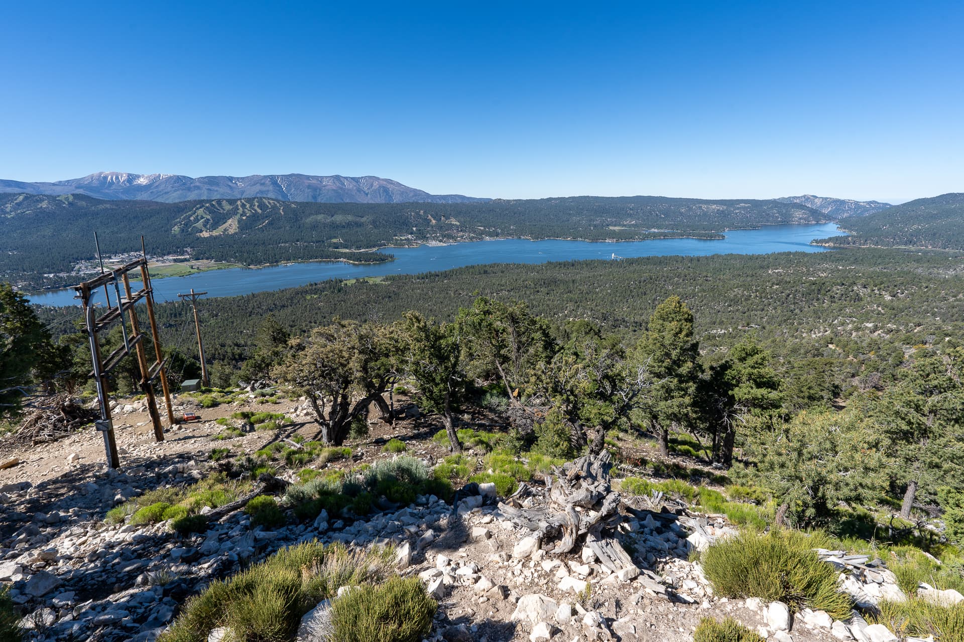
Bertha Peak
7 mi awayBertha Peak
7.5 mi1,400 ft2.5 hr
Grays Peak
8 mi awayGrays Peak
7.1 mi1,300 ft2.5 hr