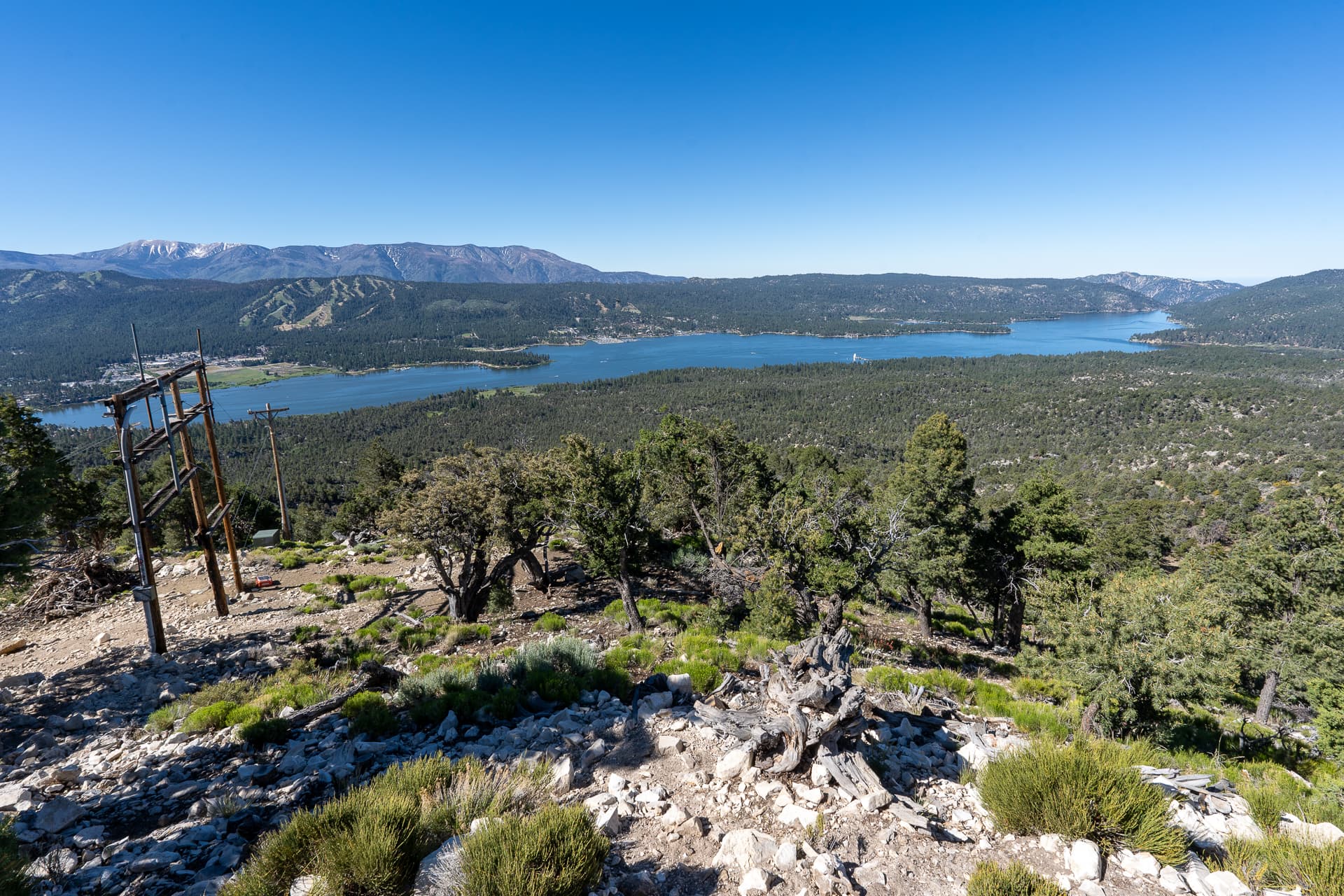
Ten Thousand Foot Ridge and Mount Grinnell Loop

San Gorgonio Wilderness, CA

Info

Distance12.5 mi
Elevation gain4,100 ft
Route typeLoop
Duration6.5 hr
CruxClass 2
Quality6/10

Peaks bagged

1
Peak 95809,580 ft / Prom. 140 ft

2
Hell for Sure Peak9,920 ft / Prom. 280 ft

3
Tea Bag Can Peak9,884 ft / Prom. 201 ft

4
Peak 99719,971 ft / Prom. 51 ft

5
Peak 1005510,055 ft / Prom. 60 ft

6
Carmen Peak10,075 ft / Prom. 10 ft

7
Ten Thousand Foot Ridge(HPS)10,094 ft / Prom. 94 ft

8
Fish Creek Peak9,942 ft / Prom. 142 ft

9
Lake Peak(HPS)10,161 ft / Prom. 321 ft

10
Grinnell Mountain(HPS)10,284 ft / Prom. 479 ft

HPSHundred Peaks Section

Report

Entering San Gorgonio Wilderness via the Fish Creek Trail.
Along Fish Creek Trail, the spur ridge to Peak 9580 is visible on the left.
Leaving the trail after 0.2 miles.
Shin-high brush for the first 400 vertical feet along the ridge.
View back toward the parking lot.
Peak 9580 comes into view.
A short dip along the ridge before Peak 9580.
Another view back.
Flat area below the summit of Peak 9580.
Some likely avoidable class 2 below the summit of Peak 9580.
Peak 9580 summit. View south toward Hell For Sure Peak.
Descending the south side of Peak 9580.
Ridgeline to Hell For Sure Peak. I stayed to the right of the crest to avoid rocky terrain.
View back toward Peak 9580.
Final climb to Hell For Sure Peak.
Veering left to the summit of Hell For Sure Peak.
Hell For Sure Peak summit.
Traversing to Tea Bag Can Peak.
At the saddle between Hell For Sure Peak and Tea Can Bag Peak.
Starting the climb to Tea Can Bag Peak.
View back at Hell For Sure Peak.
Tea Bag Can Peak summit.
Continuing west along the ridge.
Climbing over many downed trees on Peak 9971's south slope.
View west from Peak 9971's summit.
Traversing to Peak 10055 (right).
View back at Peak 9971 (left) and Tea Bag Can Peak (right).
Peak 10055 summit.
Carmen Peak (right) is just 0.2 miles away.
Carmen Peak summit.
View back at Peak 10055.
From Carmen Peak, Ten Thousand Foot Ridge is just a stone's throw away.
Ten Thousand Foot Ridge summit.
View back at Carmen Peak.
Dropping off the southwest side of Ten Thousand Foot Ridge.
At the saddle between Ten Thousand Foot Ridge and Fish Creek Peak.
Contouring the ridge toward Fish Creek Peak (right).
Fish Creek Peak ahead.
Fish Creek Peak summit.
Heading toward Lake Peak, the final peak on the traverse.
Lake Peak is the pile of boulders on the right.
Class 2.
Lake Peak summit. View northwest toward Dry Lake and South Fork Meadows.
Descending the north slope of Lake Peak toward Grinnell Mountain.
Passing through Fish Creek Saddle Camp.
Starting up Grinnell Mountain's south ridge.
Following an intermittent use trail.
View back toward San Gorgonio Mountain.
Grinnell Mountain's broad summit area. The high point is somewhere on the right.
Grinnell Mountain summit.
I returned to Fish Creek Saddle Camp and joined Fish Creek Trail, heading east.
Expansive views down Fish Creek.
The trail makes several large switchbacks. View toward Ten Thousand Foot Ridge.
Descending into Fish Creek.
Fish Creek crossing.
Entering Fish Creek Meadows.
View back at Fish Creek Meadows.
Southern fork of Fish Creek. The trail cuts through the grasses on the left.
Rejoining the trail on the other side of the creek.
Junction with Aspen Grove Trail (left), an alternative approach that adds about 4 miles and 700 feet of elevation gain roundtrip, but shaves off about 10 miles of rugged driving along forest road 1N05. Stay right to continue along Fish Creek Trail.
Almost back at the point where I left the trail earlier in the day to climb Ten Thousand Foot Ridge.
Almost back at Fish Creek Trailhead.

Nearby trips

Bertha Peak
13 mi awayBertha Peak
7.5 mi1,400 ft2.5 hr
Grays Peak
14 mi awayGrays Peak
7.1 mi1,300 ft2.5 hr