Starting along the Baxter Pass Trail.Entering the John Muir Wilderness.Alpenglow on Oak Peak.Deviating from the trail to find a good spot to cross Oak Creek.After the crossing, continuing up the south side of the canyon.View back.Second Oak Creek crossing.Leaving Baxter Pass Trail around 8,600 feet, contouring into an unnamed canyon to the north.Headed up a chute on Oak Peak's east face.Fairly stable talus for the first 1,000 vertical feet. View back down the chute.Another view back.Loose terrain and minor bushwhacking in the upper reaches of the chute.Gaining Oak Peak's east ridge.View back down Oak Peak's east ridge
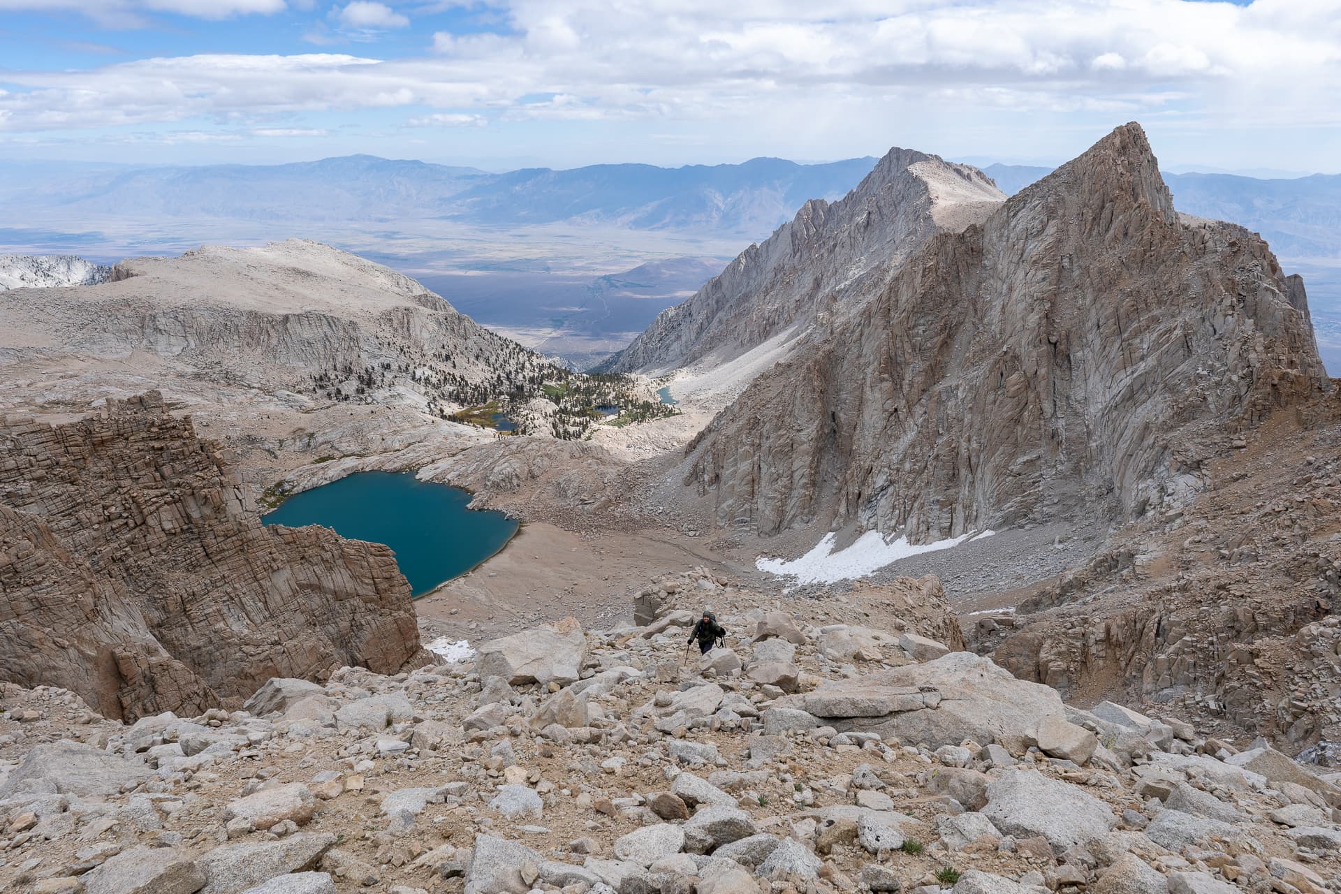
Staying on Class 2 slopes to the right of the ridge.Expansive views back toward Owens Valley.Short Class 3 section below the summit.Oak Peak summit. View west.View northwest toward Mount Baxter (right).View south toward Black Mountain. The descent chute is visible on the bottom left.Starting down the descent chute.View back up the descent chute from just below the summit.Steep, but manageable.View back at a Class 3 dryfall.At the mouth of the chute, view toward Baxter Pass (far right).Descending talus slopes toward Baxter Pass Trail.View back up toward Oak Peak.Back on Baxter Pass Trail.Returning to the spot where we left the trail on the approach.