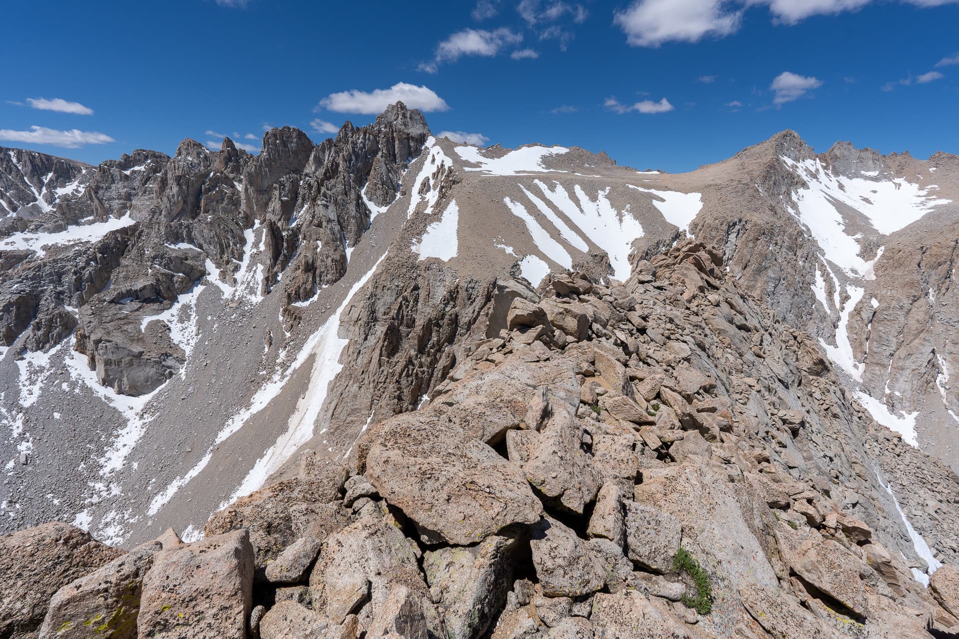
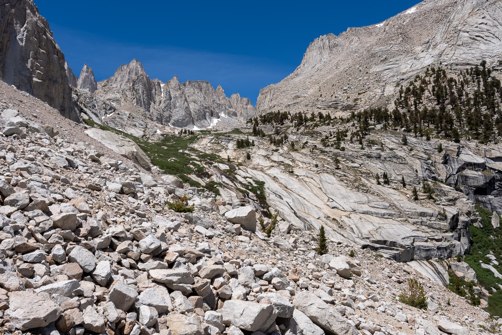
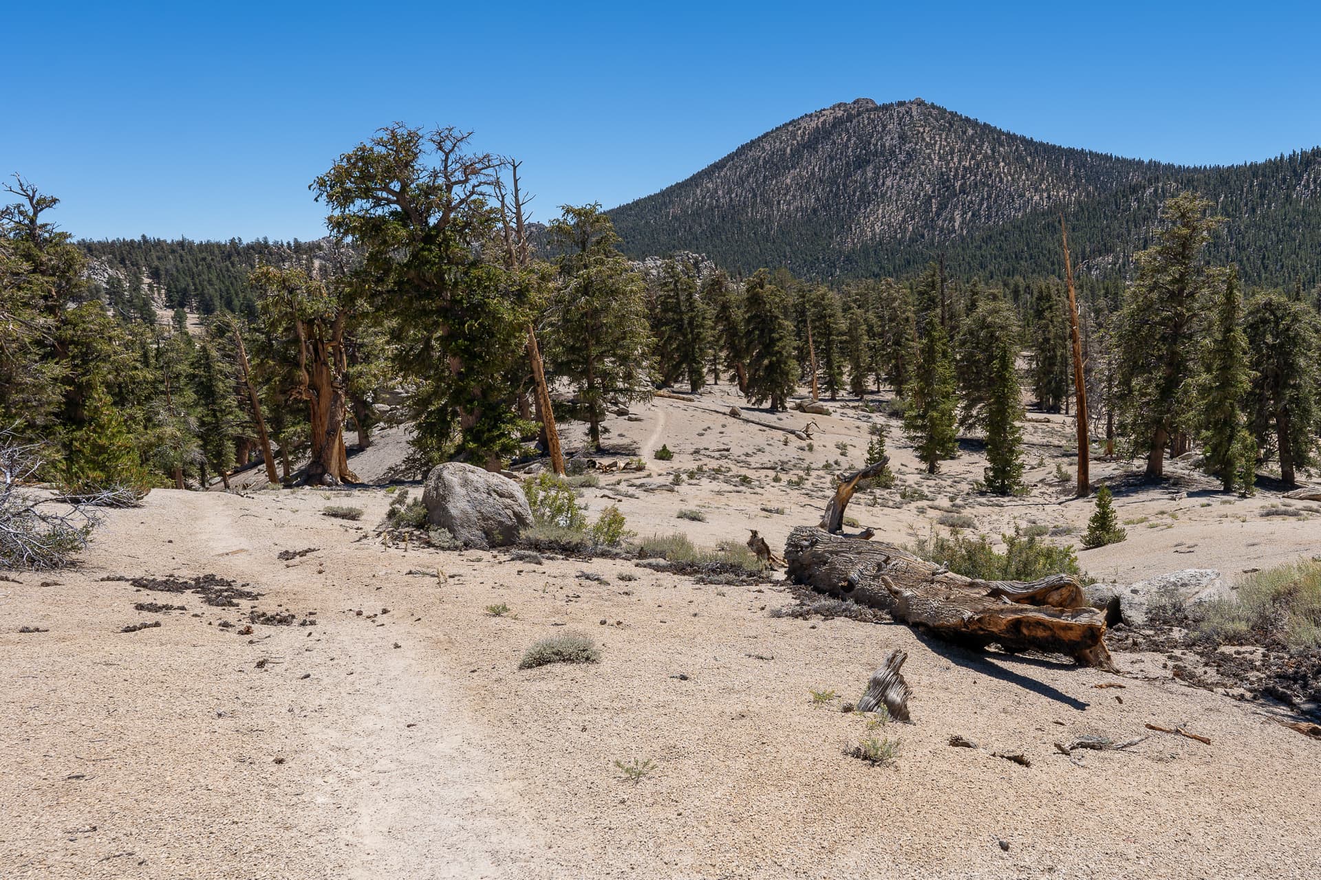
Starting up the Meysan Lakes Trail. Alpenglow on Lone Pine Peak, top-left.Entering the John Muir Wilderness.Reaching the turnoff for Grass Lake, the approach to Lone Pine Peak, on the left. The trail continues on the right.From Meysan Lakes Trail, view of three peaks along the Sierra Crest: Mount LeConte (left), Mount Mallory (center), and Mount Irvine (right).Cutting through a marsh to the outlet of Meysan Lake, left of center.Passing Camp Lake to the east.Following Meysan Creek.Some easy slab walking.View back down Meysan Creek.Meysan Lake. Our route ascends the bowl on the left.Crossing Meysan Creek.View toward Mount Irvine (somewhere behind the pinnacles, right of center).Passing Meysan Lake to the east (climber's left).Approaching the Meysan Lake bowl as the clouds roll over Green Pass, bringing snow flurries.View back.Loose terrain inside the bowl.Aiming for the rocks to the right of the snow-filled couloir.Class 2.View back.Staying right of the snow. Notice the cascading frozen waterfalls on the left.View back. Rosco Peak is on the far right; behind it is Lone Pine Peak.Contouring west toward Mount Mallory.View back.Starting up Mount Mallory's southeast slope.Class 2 below the summit.Crossing over east ridge. View toward Mount Whitney.View back along the east ridge from below the summit.Mount Mallory summit. View northwest toward Mount McAdie (left) and Mount Whitney (center).View east. (Ben is sitting at the high point, where the register is located.)