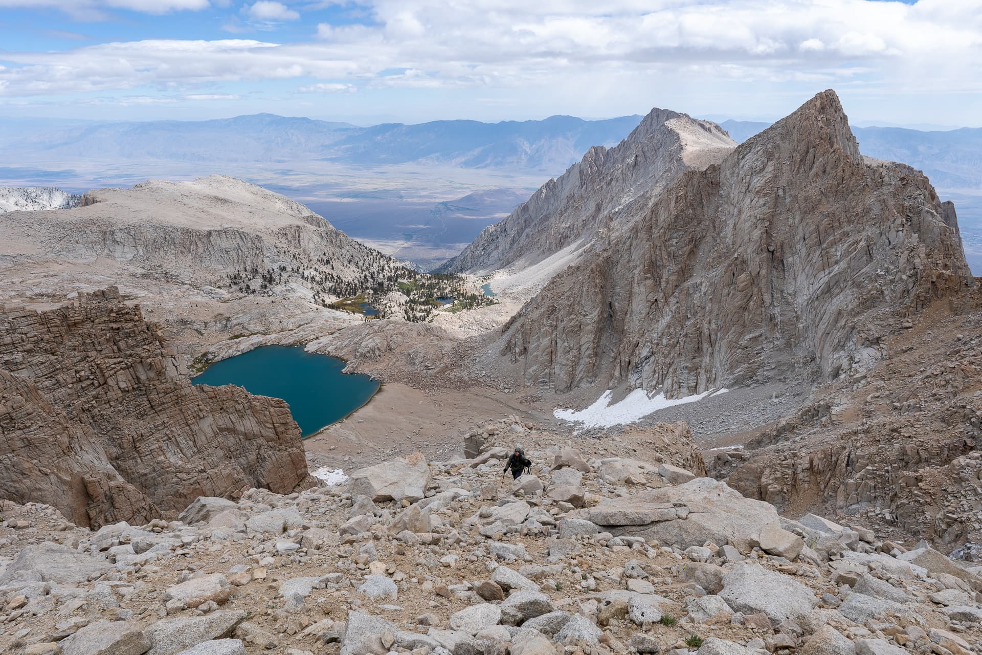
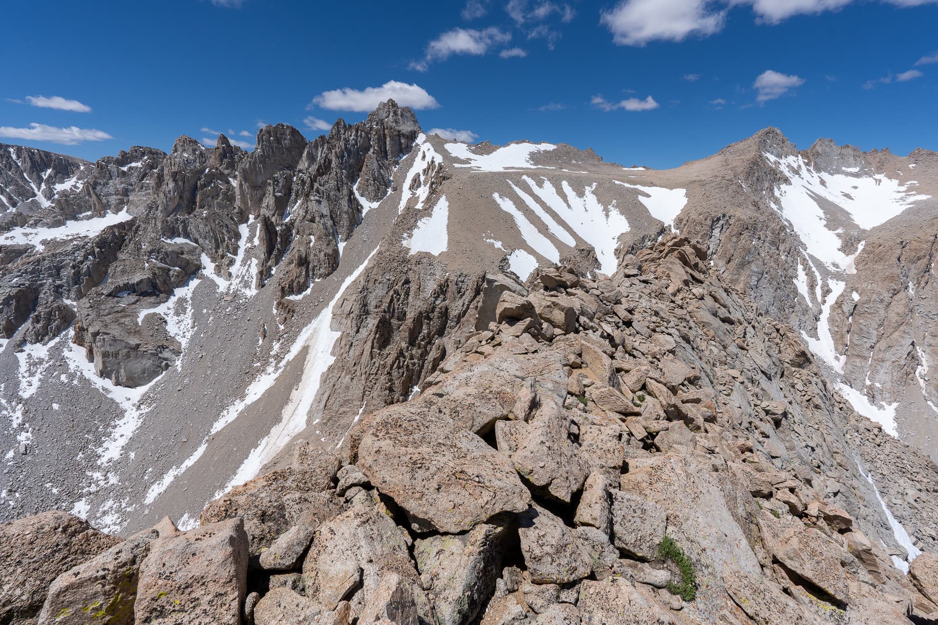
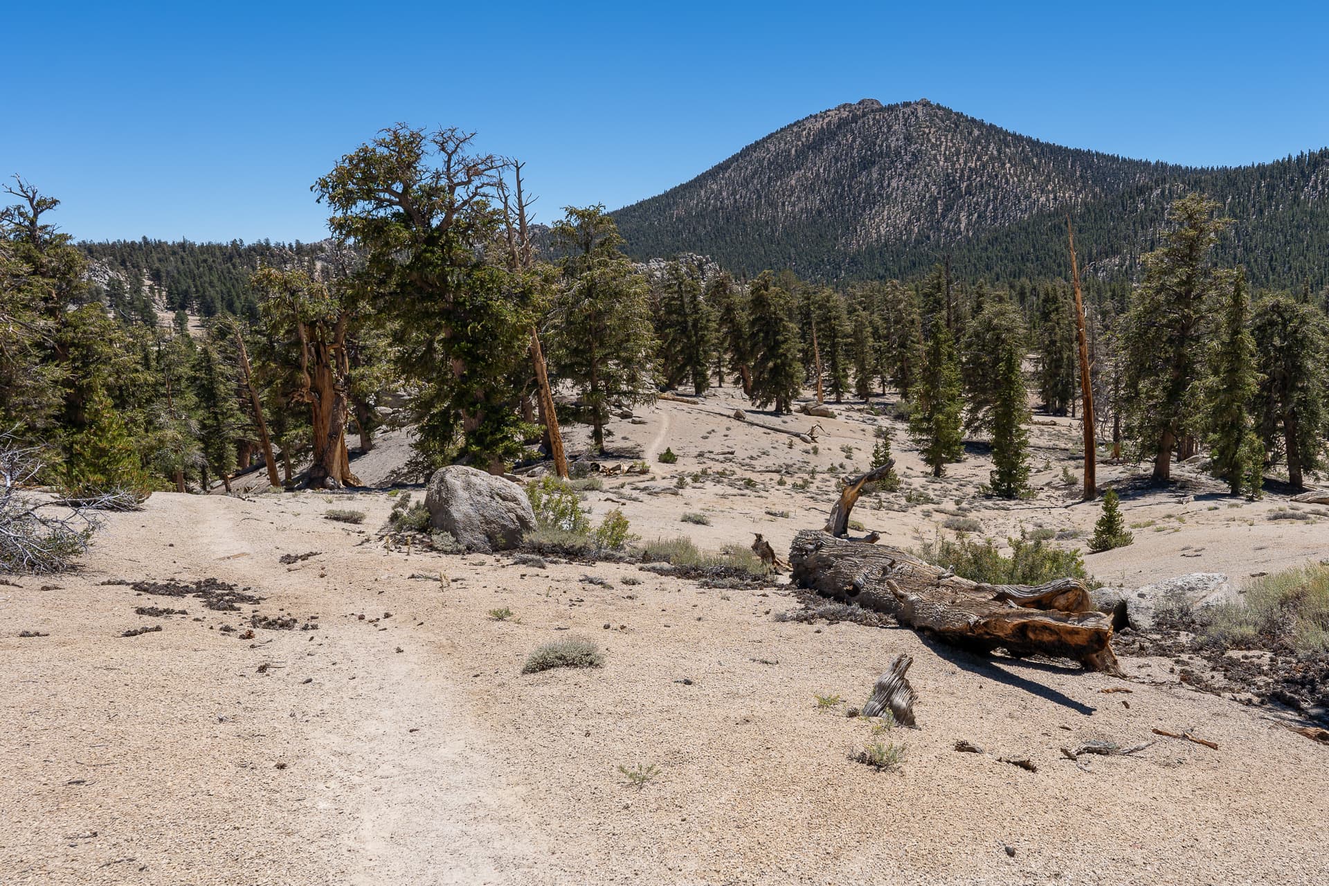
Starting along the Mount Whitney Trail.After about a mile, joining the North Fork Lone Pine Creek Trail.Following the creek up the canyon.View back.The trail crosses the creek before zigzagging its way across the ledge system ahead known as "Ebersbacher Ledges".Climbing up a brushy corridor to the start of Ebersbacher Ledges.Class 2 entry to Ebersbacher Ledges.Crossing Ebersbacher Ledges. View from a switchback in the ledge system. The route continues right.Final climb to the outlet of Lower Boy Scout Lake, top right.Lower Boy Scout Lake.Continuing along North Fork Lone Pine Creek Trail, which passes by the lake to the south.Leaving the trail for the north slope of Thor Peak.From the north slope, view back toward Lower Boy Scout Lake.View west toward Mount Whitney.Loose, Class 2.Veering left toward a weakness in the cliff band.Contouring east to gain the ridge.View back toward Mount Carillon (left) and The Cleaver (center).Almost on top of the ridge.Thor Peak's broad east ridge. About 600 feet of climbing to the summit.View back toward Whitney Portal.Class 2.Approaching Thor Peak's summit.Thor Peak summit. View west/southwest.Closeup on Mount Whitney.View northwest. Mount Russell is right of center.Descending to a notch in the ridgeline.Inside the notch, starting the descent of Thor Peak's south slope.View of Mount Irvine.View back toward the notch.Steep, loose terrain on the descent to Mirror Lake.View back up a Class 2 weakness in a cliff band around 11,400 feet.A wide shot of the cliff band on Thor Peak's south slope.Continuing my descent, contouring slightly west.View back up.Walking around the north shore of Mirror Lake.View back at Mirror Lake before rejoining the Mount Whitney Trail.Back on the Mount Whitney Trail.Multiple creek crossings.An elevated trail cuts through the marsh.Whitney Portal below.View back.Many, many switchbacks along the trail.View back along the trail from the junction with the Old Mount Whitney, a more direct route back to Whitney Portal.View from the Old Mount Whitney Trail.Back at Whitney Portal, short road walk to the car.