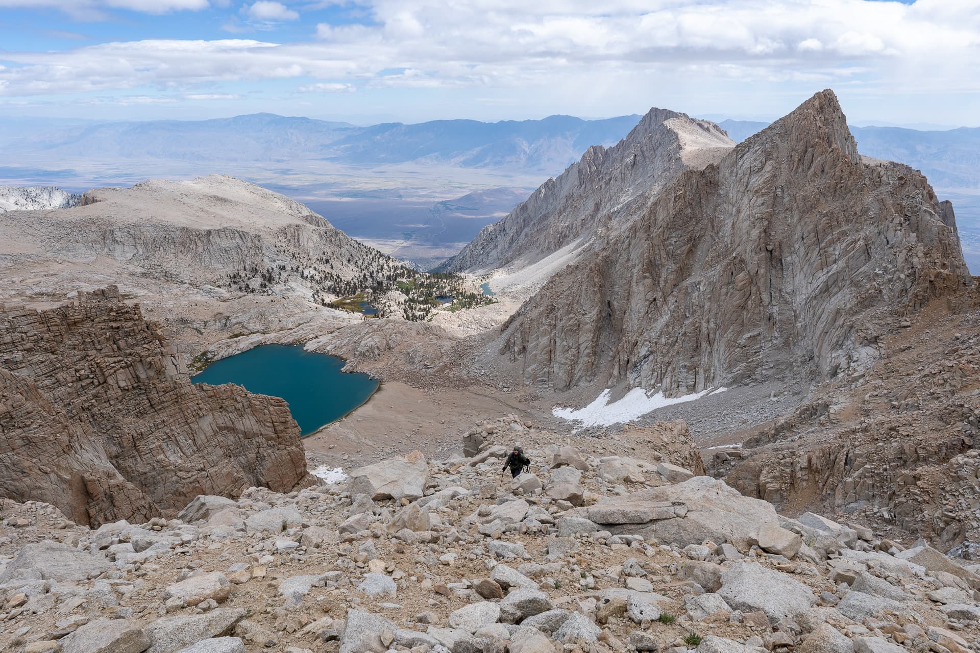
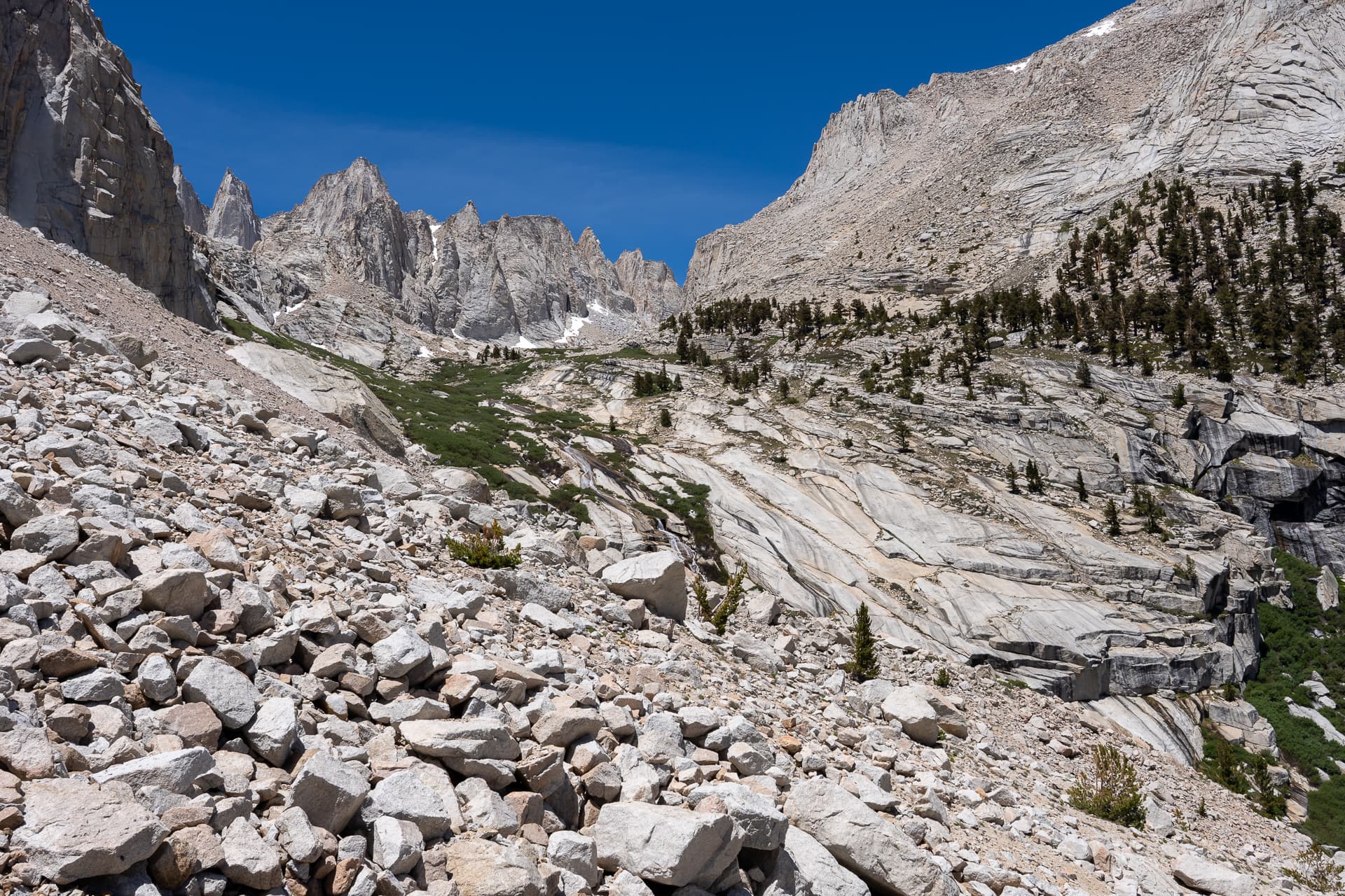
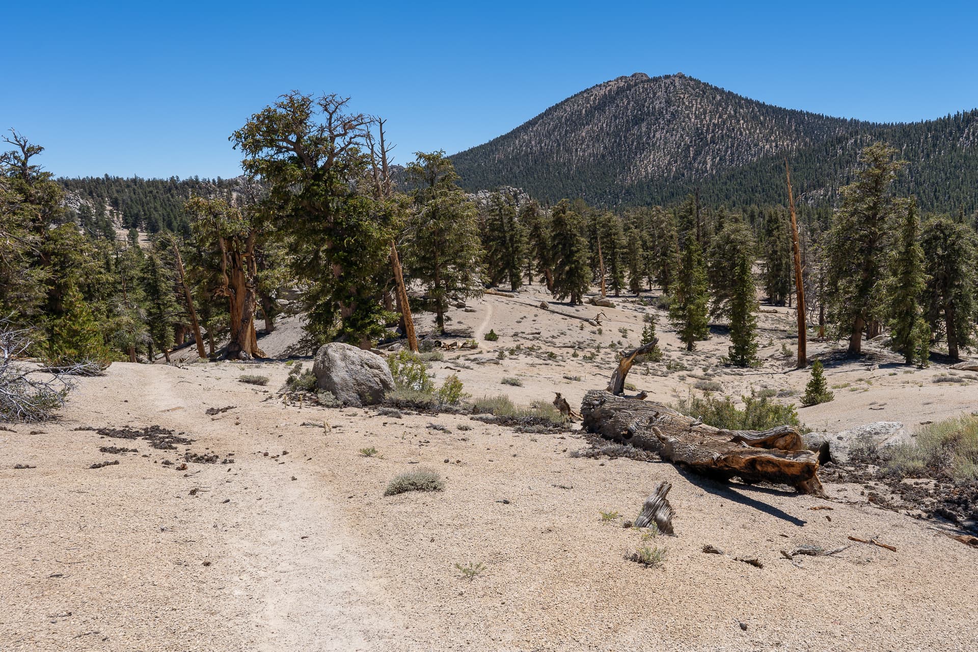
From the Meysan Lakes Trailhead parking lot, entering the Whitney Portal Campground.Passing some private cabins on the way to the Meysan Lakes Trail.Along Meysan Lakes Trail.The trail climbs to the saddle ahead.View back toward Lone Pine.Another view back as the trail crosses a rocky drainage.Small creek crossing around 10,000 feet.View back.Leaving Meysan Lakes Trail, headed south.Descending about 100 feet into a marshy bowl.Grass Lake.Gaining a spur below the ascent chute.View back.Following a sandy drainage to the base of the ascent chute.Loose Class 2 terrain inside the chute.Veering left (east) toward a notch.View back down the chute.Near the mouth of the chute.View back from the notch.Contouring northeast toward Lone Pine Peak.At the saddle between Lone Pine Peak and Rosco Peak.Starting up the west slope of Lone Pine Peak.View back toward Rosco Peak. In the distance, Mount Langley (left), Mount LeConte (right of center), and Mount Mallory (far right).Gaining the ridge. Sharp falloff to the left (north). From here, I contoured the tame southern slopes.Lone Pine Peak summit ahead.Lone Pine Peak summit. View east.View northwest. Mount Whitney is on the left.View west.Returning to the saddle between Lone Pine Peak and Rosco Peak.Traversing over to Rosco Peak.Class 2.My progress along the ridge was impeded by a 40-foot cliff.I backtracked a bit and found this weakness which provided access to the north slopes.View back at the Class 3 downclimb used to access the north slope of Rosco Peak. I used the wide ledge in the center.Contouring the north slope of Rosco Peak.View back toward Lone Pine Peak.Gaining the ridge.Dropping down to the south side of the ridge, aiming for the Class 2 chute on the left.Inside the chute. I regained the ridge via the notch on the right.View back down the chute.Back on the ridge. Class 3.Class 2 ledge system on the south slope. Great views of Mount LeConte and Mount Corcoran.Rosco Peak summit ahead.Rosco Peak summit. View west toward Mount LeConte (center) and Mount Mallory (right).View east toward Lone Pine Peak. The Class 3 summit block is on the right.On the descent, dramatic light on Mount Irving.