Olancha Peak
South Sierra Wilderness, CATrip info
Distance21.6 mi
Elevation gain6,600 ft
Route typeOut & back
Duration10 hr
CruxClass 2
Quality8/10
Peaks bagged
1
12,123 ft / Prom. 3,083 ft
Trip report
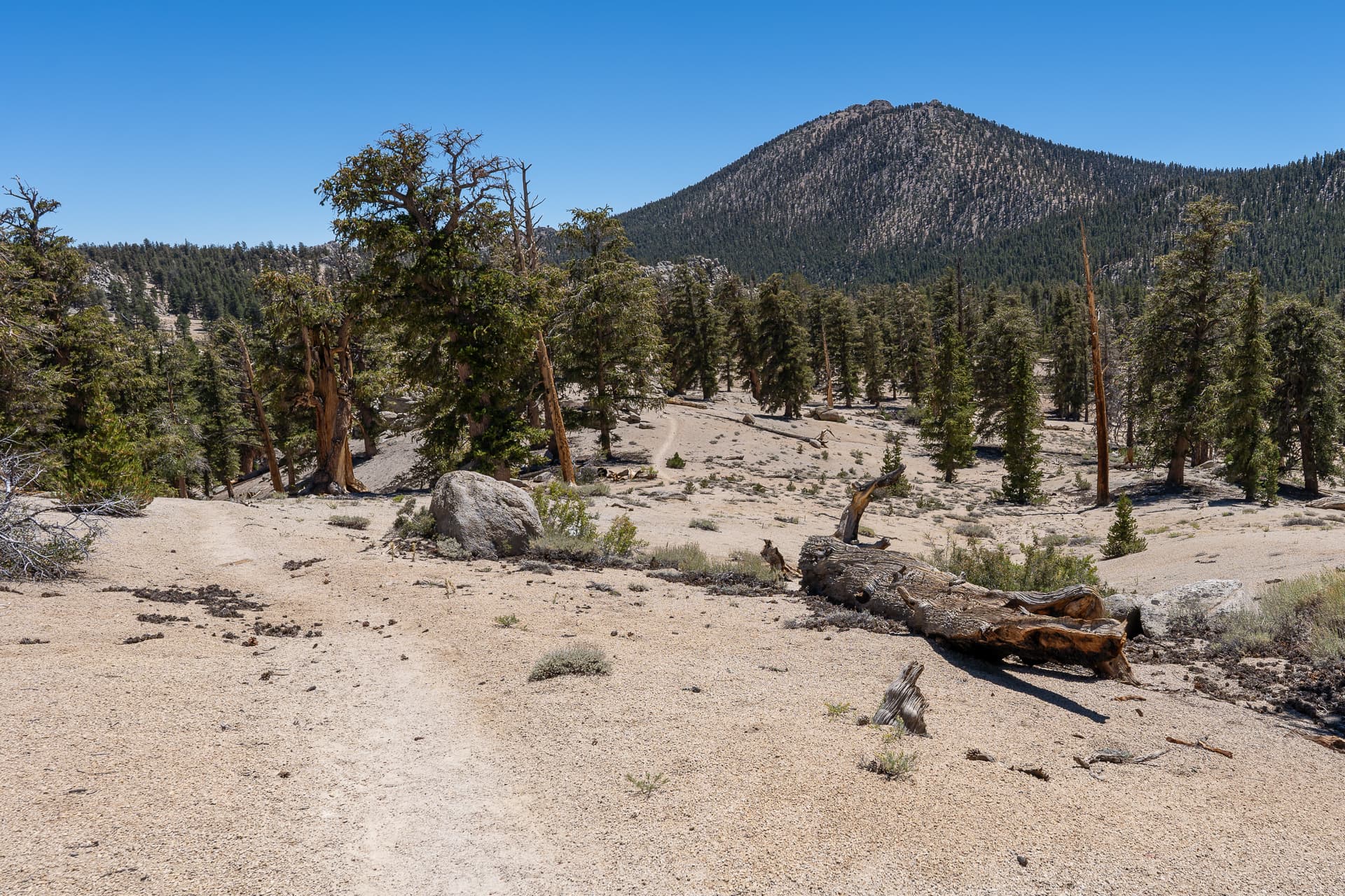
To get to the Olancha Pass Trailhead from Highway 395, turn onto Sage Flats Road and drive west for five miles. The road is paved for the first three miles, after which it passes through a well-marked private ranch that is completely surrounded by the Inyo National Forest. Greeted by swarms of mosquitos at the trailhead, I backtracked a couple miles and parked at a clearing next to an old corral where I spent the night.


Nearby trips